

Global Weekly Snow Roundup #314
Weekly Global Snow News, updated 14 May 2026: Fresh snowfall in Argentina, Australia and Lesotho signals winter’s approach, while Japan maintains the world’s deepest snowpack.

Next 3 days weather summary:Moderate rain (total 14.0mm), heaviest on Sun afternoon. Freeze-thaw conditions (max 7°C on Sun afternoon, min -3°C on Sat morning). Wind will be generally light. | Days 4-6 weather summary:Light rain (total 3.0mm), mostly falling on Tue afternoon. Very mild (max 16°C on Thu afternoon, min 3°C on Tue night). Wind will be generally light. | |||||||||||||||||
Saturday 16 | Sunday 17 | Monday 18 | Tuesday 19 | Wednesday 20 | Thursday 21 | |||||||||||||
AM | PM | night | AM | PM | night | AM | PM | night | AM | PM | night | AM | PM | night | AM | PM | night | |
snow shwrs | rain shwrs | clear | some clouds | light rain | light rain | rain shwrs | light rain | rain shwrs | some clouds | light rain | rain shwrs | clear | clear | clear | some clouds | some clouds | clear | |
km/h | ||||||||||||||||||
Snow map |  |  |  |  |  |  | ||||||||||||
— | — | — | — | — | — | — | — | — | — | — | — | — | — | — | — | — | — | |
— | 1 | — | — | 2 | 3 | 1 | 4 | 3 | — | 2 | 1 | — | — | — | — | — | — | |
max °C | 1 | 3 | 1 | 5 | 7 | 4 | 5 | 6 | 5 | 7 | 8 | 7 | 8 | 11 | 9 | 14 | 16 | 13 |
min °C | -3 | 3 | -2 | 2 | 5 | 2 | 3 | 5 | 2 | 4 | 7 | 3 | 5 | 11 | 5 | 9 | 16 | 7 |
-8 | 0 | -2 | 2 | 5 | 2 | 3 | 4 | 0 | 4 | 6 | 0 | 3 | 11 | 4 | 9 | 16 | 7 | |
65 | 63 | 69 | 55 | 86 | 82 | 78 | 89 | 93 | 78 | 86 | 87 | 67 | 60 | 57 | 36 | 49 | 59 | |
1750 | 2100 | 1800 | 2400 | 2500 | 2250 | 2450 | 2500 | 2350 | 2650 | 2850 | 2700 | 2750 | 3100 | 3350 | 3600 | 3850 | 3850 | |
6:01 | — | — | 6:00 | — | — | 5:58 | — | — | 5:58 | — | — | 5:56 | — | — | 5:56 | — | — | |
— | — | 8:54 | — | — | 8:55 | — | — | 8:58 | — | — | 8:59 | — | — | 9:00 | — | — | 9:00 | |
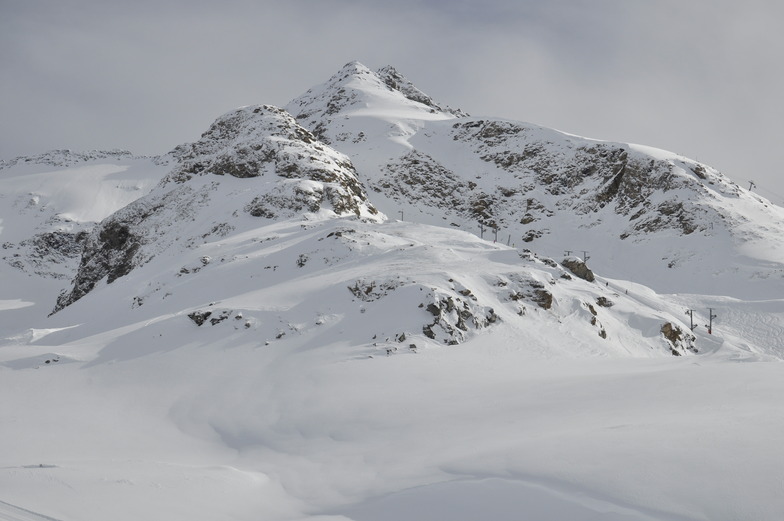
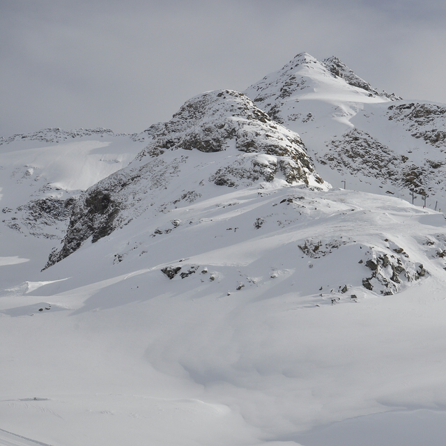
Latest snow reports near Bonneval sur Arc:
| Top snow depth: | — |
|---|---|
| Bottom snow depth: | — |
| Fresh snowfall depth: | 8 cm |
| Last snowfall: | 15 May 2026 |
| Snow Alerts | Create Alert |
0.0 | Bluebird Powder days Fresh snow, mostly sunny, light wind. |
|---|---|
0.0 | Powder days Fresh snow, limited sun, any wind. |
0.0 | Bluebird days Average snow, mostly sunny, light wind. |
The above table gives the weather forecast for Bonneval sur Arc at the specific elevation of 1801 m. Our sophisticated weather models allow us to provide snow forecasts for the top, middle and bottom ski stations of Bonneval sur Arc. To access the weather forecasts for the other elevations, use the tab navigation above the table. For a wider view of the weather, check out the Weather Map of France.
Click here to read further information on freezing levels and how we forecast our temperatures.
Overall 3.4 Based on 14 votes and 5 reviews
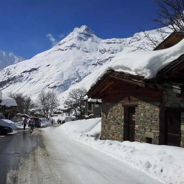
Just completed my 8th visit (to Bonneval sur Arc). If you're looking for quiet, low people volumes and like to carve your way down uncrowded slopes, this is a great place. Beginner and intermediate paradise. Just enough to keep non-aggressive advanced interested. Great snow conditions almost guaranteed.
Anthony Chapman from United Kingdom writes:
Just completed my 8th visit (to Bonneval sur Arc). If you're looking for quiet, low people volumes and like to carve your way down uncrowded slopes, this is a great place. Beginner and intermediate paradise. Just enough to keep non-aggressive advanced interested. Great snow conditions almost guaranteed.


 Nearest