


View forecast
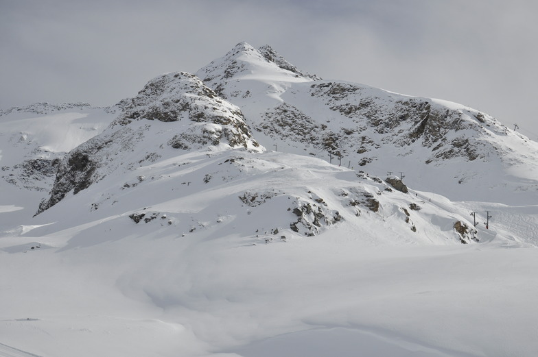
Bonneval sur Arc at 2401 m altitude
Issued by Snow-Forecast.com at: 1 am (local time) / 24 Apr 2024
Now
Wednesday 24 | Thursday 25 | Friday 26 | Saturday 27 | Sunday 28 | Monday 29 | Tuesday 30 | |||||||||||||||
AM | PM | night | AM | PM | night | AM | PM | night | AM | PM | night | AM | PM | night | AM | PM | night | AM | PM | night | |
clear | snow shwrs | snow shwrs | clear | snow shwrs | light snow | light snow | light snow | light snow | light snow | light snow | light snow | light snow | light snow | light snow | light snow | light snow | light snow | light snow | light rain | light snow | |
km/h | |||||||||||||||||||||
Snow map |  |  |  |  |  |  |  | ||||||||||||||
— | — | — | — | — | 3 | 1.0 | 1.0 | 2.0 | 1.0 | 1.0 | 2.0 | 1.0 | 2.0 | 2.0 | — | — | 3 | 1.0 | — | 3 | |
— | — | — | — | — | — | — | — | — | — | — | — | — | — | — | — | — | — | — | 3 | — | |
max°C | -7 | -6 | -7 | -6 | -3 | -4 | -4 | -4 | -4 | -3 | -2 | -2 | -1 | 0 | 0 | 0 | 1 | 1 | 2 | 2 | 2 |
min°C | -9 | -7 | -9 | -8 | -4 | -5 | -5 | -4 | -5 | -4 | -3 | -3 | -3 | -1 | 0 | 0 | 1 | 1 | 2 | 2 | 2 |
-14 | -12 | -14 | -8 | -4 | -7 | -7 | -6 | -9 | -8 | -7 | -7 | -7 | -5 | -3 | -4 | -2 | -2 | -1 | -1 | -1 | |
65 | 82 | 66 | 52 | 84 | 96 | 92 | 94 | 94 | 95 | 96 | 95 | 95 | 96 | 92 | 87 | 93 | 95 | 98 | 97 | 97 | |
1350 | 1600 | 700 | 1600 | 1950 | 1550 | 1800 | 1900 | 1550 | 1900 | 2050 | 1950 | 2200 | 2350 | 2450 | 2400 | 2600 | 2550 | 2650 | 2750 | 2700 | |
6:30 | — | — | 6:28 | — | — | 6:26 | — | — | 6:24 | — | — | 6:24 | — | — | 6:22 | — | — | 6:20 | — | — | |
— | — | 8:29 | — | — | 8:30 | — | — | 8:31 | — | — | 8:32 | — | — | 8:34 | — | — | 8:36 | — | — | 8:37 | |
Next 0-3 days weather summary:
A light covering of new snow, mostly falling on Thu night. Temperatures will be below freezing (max -3°C on Thu afternoon, min -9°C on Wed morning). Wind will be generally light.
Next 4-6 days weather summary:
A moderate fall of snow, heaviest on Sun afternoon. Freeze-thaw conditions (max 1°C on Mon afternoon, min -4°C on Sat morning). Wind will be generally light.
Popular Bonneval sur Arc Pages
Snow Radar
Submit a reportLatest snow reports near Bonneval sur Arc:
38 km away from Bonneval sur Arc
22 hours ago
Snow is falling in Val Thorens. from Val Thorens
38 km away from Bonneval sur Arc
23 hours ago
Powder day!. Early morning fog, clearer later. from Val Thorens
Bonneval sur Arc Snow Conditions
| Top snow depth: | 390 cm |
|---|---|
| Bottom snow depth: | 80 cm |
| Fresh snowfall depth: | 21 cm |
| Last snowfall: | 23 Apr 2024 |
| Snow Alerts | Create Alert |
Other resorts in France are reporting: powder (2) / good piste (1)
Snow-Forecast Partner Offers
Show your business here
Snow History
Week 4 of April has on average:
0.5 | Bluebird Powder days Fresh snow, mostly sunny, light wind. |
|---|---|
1.2 | Powder days Fresh snow, limited sun, any wind. |
0.6 | Bluebird days Average snow, mostly sunny, light wind. |
Bonneval sur Arc Forecast Snowfall


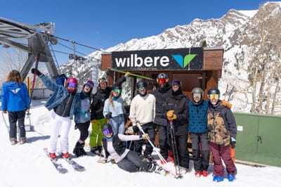
Photos of Bonneval sur Arc
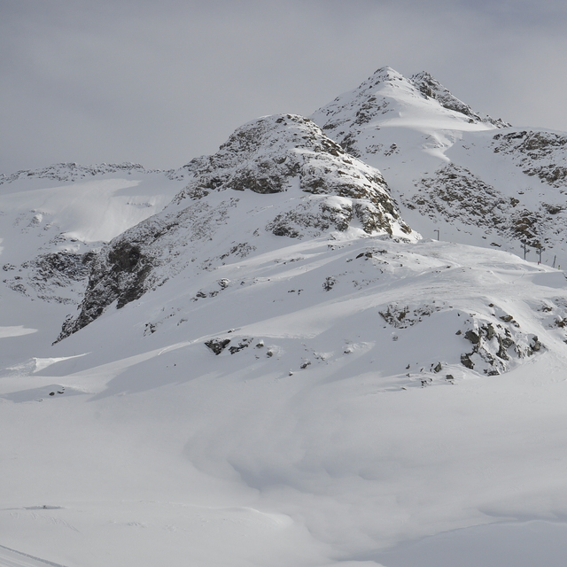
Výhled ze sjezdovky by Robert Janda
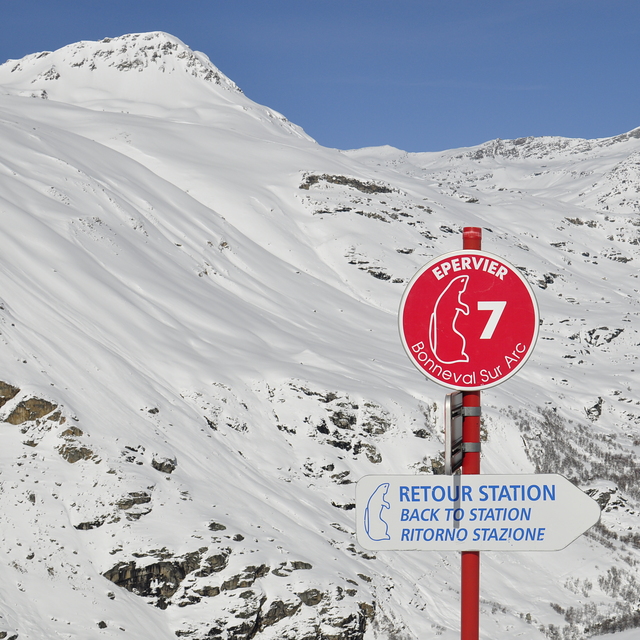
Výhled ze sjezdovky by Robert Janda
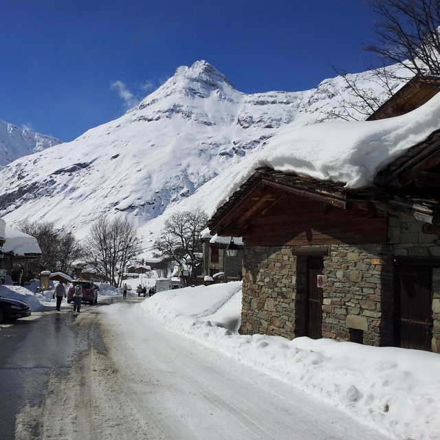
Bonneval na začátku jara. by Robert Janda
Other resorts in France are reporting: powder (2) / good piste (1)
The above table gives the weather forecast for Bonneval sur Arc at the specific elevation of 2401 m. Our sophisticated weather models allow us to provide snow forecasts for the top, middle and bottom ski stations of Bonneval sur Arc. To access the weather forecasts for the other elevations, use the tab navigation above the table. For a wider view of the weather, check out the Weather Map of France.
Click here to read further information on freezing levels and how we forecast our temperatures.
Visitor Reviews of Bonneval sur Arc
Overall 3.4 Based on 3 votes and 5 reviews
- Snowsure
- Variety of pistes
- Vote
- François from Spain writes:
On y vient tous les ans en Mars depuis 2007.....magique endroit pour les amoureux de montagne. Adeptes des boîtes de nuits pas la peine de venir. Fiabilité neige 5 Variete pistes 3 Hors piste. 5 pour les connaisseurs Paysages. 5
Visitor Reviews of Bonneval sur Arc
François from Spain writes:
On y vient tous les ans en Mars depuis 2007.....magique endroit pour les amoureux de montagne.
Adeptes des boîtes de nuits pas la peine de venir.
Fiabilité neige 5
Variete pistes 3
Hors piste. 5 pour les connaisseurs
Paysages. 5
Free Snow-Forecast.com weather widget for your website
The Bonneval sur Arc skiing weather widget is available to embed on external websites free of charge. It provides a daily summary of our Bonneval sur Arc snow forecast and current weather conditions. Simply go to the feed configuration page and follow the 3 simple steps to grab the custom html code snippet and paste it into your own site. You can choose the snow forecast elevation (summit, mid-mountain or bottom lift) and metric/imperial units for the snow forecast feed to suit your own website…. Click here to get the code.
View detailed snow forecast for Bonneval sur Arc at:
snow-forecast.com

 Nearest