

Global Weekly Snow Roundup #314
Weekly Global Snow News, updated 14 May 2026: Fresh snowfall in Argentina, Australia and Lesotho signals winter’s approach, while Japan maintains the world’s deepest snowpack.

Next 4 days weather summary:A light fall of snow, heaviest on Sun morning. Turning milder with light rain (total 2.0mm) on Mon morning. Freeze-thaw conditions (max 8°C on Mon afternoon, min -2°C on Sat morning). Winds decreasing (fresh winds from the WSW on Sat morning, calm by Mon morning). | Days 5-7 weather summary:Light rain (total 2.0mm), mostly falling on Tue afternoon. Very mild (max 14°C on Thu afternoon, min 5°C on Mon night). Wind will be generally light. | |||||||||||||||
Saturday 16 | Sunday 17 | Monday 18 | Tuesday 19 | Wednesday 20 | ||||||||||||
night | AM | PM | night | AM | PM | night | AM | PM | night | AM | PM | night | AM | PM | night | |
light snow | light snow | light snow | light snow | light snow | snow shwrs | clear | rain shwrs | rain shwrs | some clouds | some clouds | light rain | some clouds | some clouds | some clouds | some clouds | |
km/h | ||||||||||||||||
Snow map |  |  |  |  |  |  | ||||||||||
1 | 4 | 3 | 3 | 4 | — | — | — | — | — | — | — | — | — | — | — | |
— | — | — | — | — | — | — | 1 | 1 | — | — | 2 | — | — | — | — | |
max °C | 2 | -1 | 1 | 1 | -2 | 3 | 5 | 6 | 8 | 8 | 7 | 8 | 8 | 9 | 11 | 10 |
min °C | -1 | -2 | 0 | -2 | -2 | 0 | 3 | 5 | 7 | 5 | 5 | 8 | 7 | 6 | 10 | 8 |
-7 | -9 | -7 | -7 | -4 | -3 | 1 | 5 | 5 | 2 | 2 | 5 | 6 | 6 | 10 | 5 | |
97 | 88 | 83 | 95 | 96 | 77 | 62 | 65 | 52 | 52 | 62 | 60 | 67 | 61 | 62 | 55 | |
1450 | 1350 | 1650 | 1300 | 1300 | 1950 | 2250 | 2300 | 2500 | 2400 | 2400 | 2550 | 2500 | 2650 | 3000 | 3450 | |
— | 5:18 | — | — | 5:16 | — | — | 5:15 | — | — | 5:13 | — | — | 5:13 | — | — | |
— | — | — | 8:17 | — | — | 8:19 | — | — | 8:20 | — | — | 8:21 | — | — | 8:22 | |
Latest snow reports near Bluewood:
| Top snow depth: | — |
|---|---|
| Bottom snow depth: | — |
| Fresh snowfall depth: | — |
| Last snowfall: | 22 Apr 2026 |
| Snow Alerts | Create Alert |
0.0 | Bluebird Powder days Fresh snow, mostly sunny, light wind. |
|---|---|
0.0 | Powder days Fresh snow, limited sun, any wind. |
0.1 | Bluebird days Average snow, mostly sunny, light wind. |
The above table gives the weather forecast for Bluewood at the specific elevation of 1556 m. Our sophisticated weather models allow us to provide snow forecasts for the top, middle and bottom ski stations of Bluewood. To access the weather forecasts for the other elevations, use the tab navigation above the table. For a wider view of the weather, check out the Weather Map of United States.
Click here to read further information on freezing levels and how we forecast our temperatures.
Overall 3.3 Based on 2 votes and 2 reviews
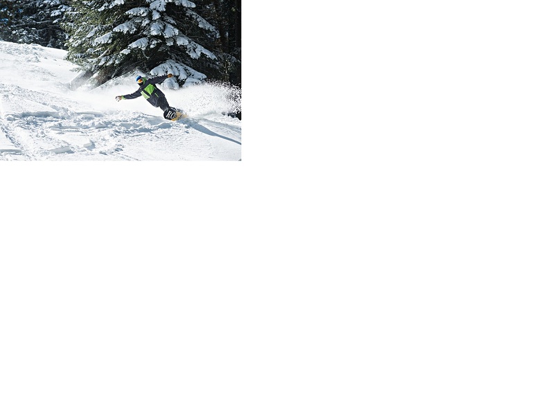
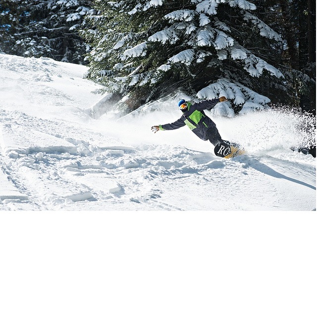
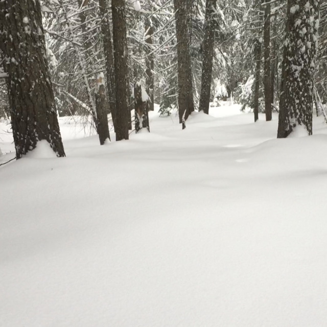
Bluewood offers a vast variety of high country off-piste, groomed trails, tree runs, back country skiing off of Vintner Ridge, and an awesome and ever changing park. Nestled in the Blue Mountains, only 20 miles (paved entire route) from Dayton WA, Bluewood Ski Resort is, quiet possibly, the best small ski resort in a 600 mile radius. Snow pack averages 90 to 120 inches of the white stuff from 1 January until 2nd week in February each year and the snow is abundant a great part of the remainder of the season (December to March). Fast lifts (longest ride is only 17 minutes to the top), equally great skiing and snowboarding for elevations at or below 5400 feet.
Mike McFarland from United States writes:
Bluewood offers a vast variety of high country off-piste, groomed trails, tree runs, back country skiing off of Vintner Ridge, and an awesome and ever changing park. Nestled in the Blue Mountains, only 20 miles (paved entire route) from Dayton WA, Bluewood Ski Resort is, quiet possibly, the best small ski resort in a 600 mile radius. Snow pack averages 90 to 120 inches of the white stuff from 1 January until 2nd week in February each year and the snow is abundant a great part of the remainder of the season (December to March). Fast lifts (longest ride is only 17 minutes to the top), equally great skiing and snowboarding for elevations at or below 5400 feet.


 Nearest