

Global Weekly Snow Roundup #314
Weekly Global Snow News, updated 14 May 2026: Fresh snowfall in Argentina, Australia and Lesotho signals winter’s approach, while Japan maintains the world’s deepest snowpack.

Next 3 days weather summary:A moderate fall of snow, heaviest on Mon night. Temperatures will be below freezing (max -4°C on Sun afternoon, min -11°C on Sat morning). Wind will be generally light. | Days 4-6 weather summary:A dusting of new snow. Freeze-thaw conditions (max 5°C on Thu night, min -3°C on Tue morning). Wind will be generally light. | |||||||||||||||||
Saturday 16 | Sunday 17 | Monday 18 | Tuesday 19 | Wednesday 20 | Thursday 21 | |||||||||||||
AM | PM | night | AM | PM | night | AM | PM | night | AM | PM | night | AM | PM | night | AM | PM | night | |
light snow | light snow | clear | clear | light snow | light snow | light snow | light snow | snow shwrs | some clouds | light snow | light snow | cloudy | light snow | snow shwrs | clear | some clouds | clear | |
km/h | ||||||||||||||||||
Snow map |  |  |  |  |  |  | ||||||||||||
— | 1 | — | — | — | 2 | — | 3 | 6 | — | — | 1 | — | — | — | — | — | — | |
— | — | — | — | — | — | — | — | — | — | — | — | — | — | — | — | — | — | |
max °C | -11 | -9 | -7 | -6 | -4 | -4 | -5 | -4 | -5 | -3 | -2 | -1 | -1 | 0 | 1 | 3 | 3 | 5 |
min °C | -11 | -10 | -8 | -6 | -4 | -5 | -6 | -4 | -5 | -3 | -3 | -2 | -2 | 0 | 1 | 2 | 3 | 4 |
-18 | -16 | -13 | -6 | -7 | -8 | -9 | -8 | -5 | -3 | -5 | -5 | -5 | -2 | -2 | -1 | 1 | 3 | |
84 | 90 | 67 | 58 | 90 | 87 | 97 | 97 | 82 | 67 | 96 | 95 | 79 | 84 | 55 | 25 | 78 | 22 | |
1550 | 1850 | 1200 | 2200 | 2500 | 2150 | 2300 | 2300 | 1750 | 2500 | 2650 | 2650 | 2800 | 3000 | 3200 | 3350 | 3450 | 3800 | |
5:50 | — | — | 5:48 | — | — | 5:48 | — | — | 5:47 | — | — | 5:46 | — | — | 5:45 | — | — | |
— | — | 8:52 | — | — | 8:53 | — | — | 8:55 | — | — | 8:57 | — | — | 8:58 | — | — | 8:59 | |
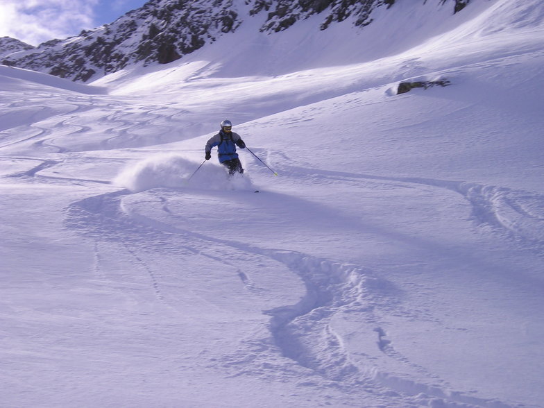
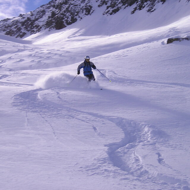
Latest snow reports near Andermatt:
Shower light rain shower reported from Alpnach Airport at 444 metres elevation only 4 kms SE of Pilatus / Luzern but it is forecast cold enough for snow at higher elevations in the ski area from Pilatus / Luzern
Light rain reported from Alpnach Airport at 444 metres elevation only 4 kms SE of Pilatus / Luzern but it is forecast cold enough for snow at higher elevations in the ski area from Pilatus / Luzern
| Top snow depth: | — |
|---|---|
| Bottom snow depth: | — |
| Fresh snowfall depth: | 14 cm |
| Last snowfall: | 15 May 2026 |
| Snow Alerts | Create Alert |
0.6 | Bluebird Powder days Fresh snow, mostly sunny, light wind. |
|---|---|
1.5 | Powder days Fresh snow, limited sun, any wind. |
1.0 | Bluebird days Average snow, mostly sunny, light wind. |
The above table gives the weather forecast for Andermatt at the specific elevation of 2963 m. Our sophisticated weather models allow us to provide snow forecasts for the top, middle and bottom ski stations of Andermatt. To access the weather forecasts for the other elevations, use the tab navigation above the table. For a wider view of the weather, check out the Weather Map of Switzerland.
Click here to read further information on freezing levels and how we forecast our temperatures.
Overall 3.9 Based on 24 votes and 15 reviews
Wrote a report in 2008 and still going every year. So many changes but still a fantastic place to ski and walk in the valley and along the Rhone in the next valley. The lift system is now superb and there's usually no waiting for the lifts except at weekends. Good restaurants and cafes of all types. Returning in February to visit friends and the Gemsstock again
graham ellis from United Kingdom writes:
Wrote a report in 2008 and still going every year.
So many changes but still a fantastic place to ski and walk in the valley and along the Rhone in the next valley.
The lift system is now superb and there's usually no waiting for the lifts except at weekends. Good restaurants and cafes of all types.
Returning in February to visit friends and the Gemsstock again


 Nearest