The above table gives the weather forecast for Andermatt at the specific elevation of 2200 m. Our sophisticated weather models allow us to provide snow forecasts for the top, middle and bottom ski stations of Andermatt. To access the weather forecasts for the other elevations, use the tab navigation above the table. For a wider view of the weather, check out the Weather Map of Switzerland.
Click here to read further information on freezing levels and how we forecast our temperatures.
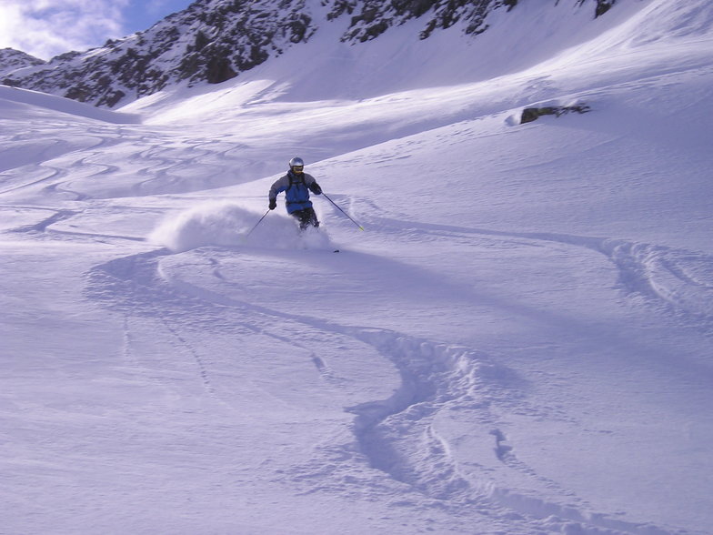
A quirky place, friendly village and different to other resorts. In fact, perhaps Andermatt is better described as a developing village that happens to have some fantastic opportunities for off-piste skiing/boarding on the doorstep.
We didn't see a queue for any lift when we visited, it was the end of April though, and still we had some great conditions.
New developments like the Chedi and Raddisson concert hall show there is investment and an attempt to bring a wealthy clientele to the area. Time will tell. For now it still has a different kind of charm, and did I mention the awesome off-piste?
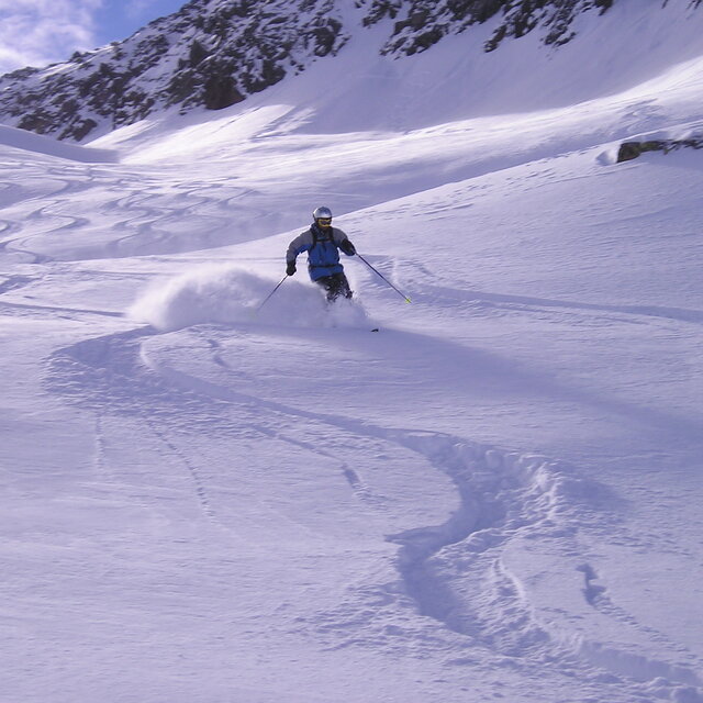
Free Snow-Forecast.com weather widget for your website
Embed the Andermatt weather widget on your site for free. It provides a weekly snapshot of snow and rain conditions across all elevations. Follow the two quick steps to grab your custom code and paste it into your site. Choose between metric or imperial units. Click here to get the code.


 Nearest