

Global Weekly Snow Roundup #314
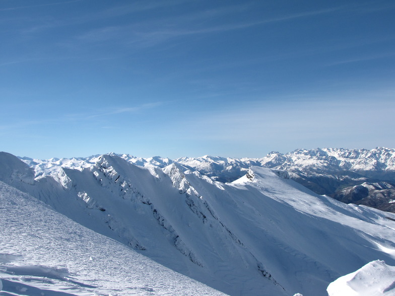
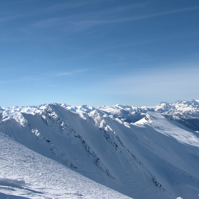
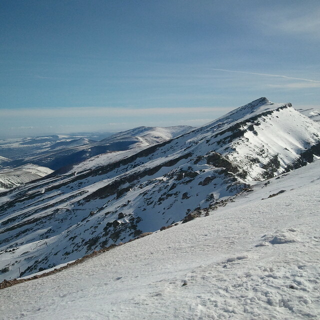
Weekly Global Snow News, updated 14 May 2026: Fresh snowfall in Argentina, Australia and Lesotho signals winter’s approach, while Japan maintains the world’s deepest snowpack.

Next 4 days weather summary:Light rain (total 6.0mm), mostly falling on Sun afternoon. Freeze-thaw conditions (max 11°C on Mon afternoon, min -2°C on Fri night). Wind will be generally light. | Days 5-7 weather summary:Light rain (total 3.0mm), mostly falling on Tue afternoon. Very mild (max 19°C on Thu afternoon, min 6°C on Mon night). Wind will be generally light. | |||||||||||||||
Saturday 16 | Sunday 17 | Monday 18 | Tuesday 19 | Wednesday 20 | ||||||||||||
night | AM | PM | night | AM | PM | night | AM | PM | night | AM | PM | night | AM | PM | night | |
snow shwrs | clear | cloudy | cloudy | light rain | light rain | light rain | cloudy | some clouds | cloudy | some clouds | rain shwrs | rain shwrs | clear | some clouds | clear | |
km/h | ||||||||||||||||
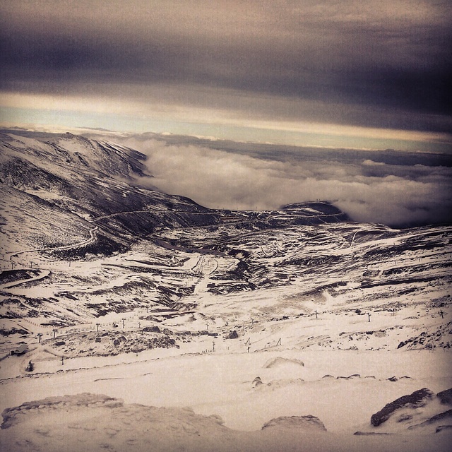
Snow map | 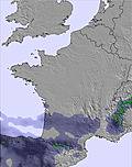 |  |  |  |  |  | ||||||||||
— | — | — | — | — | — | — | — | — | — | — | — | — | — | — | — | |
— | — | — | — | 1 | 4 | 1 | — | — | — | — | 2 | 1 | — | — | — | |
max °C | 1 | 3 | 4 | 3 | 5 | 5 | 4 | 7 | 11 | 9 | 10 | 11 | 8 | 11 | 15 | 14 |
min °C | -2 | -1 | 4 | 2 | 2 | 5 | 2 | 4 | 10 | 6 | 7 | 11 | 7 | 8 | 14 | 11 |
-7 | -5 | 2 | 1 | 2 | 5 | 0 | 2 | 8 | 5 | 7 | 11 | 7 | 8 | 14 | 10 | |
84 | 77 | 85 | 96 | 82 | 89 | 91 | 71 | 60 | 70 | 78 | 85 | 85 | 76 | 58 | 59 | |
1550 | 2100 | 2400 | 2100 | 2250 | 2400 | 2350 | 2900 | 2850 | 3000 | 3050 | 3200 | 3500 | 3750 | 3650 | 4050 | |
— | 6:52 | — | — | 6:52 | — | — | 6:50 | — | — | 6:50 | — | — | 6:50 | — | — | |
— | — | — | 9:34 | — | — | 9:35 | — | — | 9:36 | — | — | 9:37 | — | — | 9:37 | |
Latest snow reports near Alto Campoo:
| Top snow depth: | — |
|---|---|
| Bottom snow depth: | — |
| Fresh snowfall depth: | 17 cm |
| Last snowfall: | 14 May 2026 |
| Snow Alerts | Create Alert |
0.0 | Bluebird Powder days Fresh snow, mostly sunny, light wind. |
|---|---|
0.1 | Powder days Fresh snow, limited sun, any wind. |
0.0 | Bluebird days Average snow, mostly sunny, light wind. |
The above table gives the weather forecast for Alto Campoo at the specific elevation of 1649 m. Our sophisticated weather models allow us to provide snow forecasts for the top, middle and bottom ski stations of Alto Campoo. To access the weather forecasts for the other elevations, use the tab navigation above the table. For a wider view of the weather, check out the Weather Map of Spain.
Click here to read further information on freezing levels and how we forecast our temperatures.
Overall 3.2 Based on 115 votes and 81 reviews
Hioy dia 8 de Febrero y con un dia maravilloso y con una increible nieve polvo hemos subido a disfrutar el dia Hubiera sido mucho mas divertido si hubieran pisado las pistas. Subimos a Tres Mares y aquello parecia un patatal. Lo mismo los Asnos, los Castros y el Cuchillon. El remonte del Cuchillon sigue siendo el mismo, quiero decir que en un dia como hoy de poca gente, hemos tardado una hora en hacer dos bajadas. Infumable.
Pilar from Spain writes:
Hioy dia 8 de Febrero y con un dia maravilloso y con una increible nieve polvo hemos subido a disfrutar el dia Hubiera sido mucho mas divertido si hubieran pisado las pistas. Subimos a Tres Mares y aquello parecia un patatal. Lo mismo los Asnos, los Castros y el Cuchillon. El remonte del Cuchillon sigue siendo el mismo, quiero decir que en un dia como hoy de poca gente, hemos tardado una hora en hacer dos bajadas. Infumable.


 Nearest