

Global Weekly Snow Roundup #314
Weekly Global Snow News, updated 14 May 2026: Fresh snowfall in Argentina, Australia and Lesotho signals winter’s approach, while Japan maintains the world’s deepest snowpack.

Next 3 days weather summary:Moderate rain (total 11.0mm), heaviest on Mon night. Freeze-thaw conditions (max 9°C on Mon afternoon, min -5°C on Sat night). Wind will be generally light. | Days 4-6 weather summary:Moderate rain (total 10.0mm), heaviest on Wed afternoon. Very mild (max 16°C on Thu afternoon, min 4°C on Wed night). Wind will be generally light. | |||||||||||||||||
Saturday 16 | Sunday 17 | Monday 18 | Tuesday 19 | Wednesday 20 | Thursday 21 | |||||||||||||
AM | PM | night | AM | PM | night | AM | PM | night | AM | PM | night | AM | PM | night | AM | PM | night | |
light snow | rain shwrs | clear | clear | rain shwrs | rain shwrs | rain shwrs | light rain | rain shwrs | rain shwrs | light rain | light rain | light rain | risk thun- der | rain shwrs | clear | some clouds | clear | |
km/h | ||||||||||||||||||
Snow map |  |  |  |  |  |  | ||||||||||||
— | — | — | — | — | — | — | — | — | — | — | — | — | — | — | — | — | — | |
1 | 2 | — | — | 1 | 1 | 1 | 2 | 3 | 1 | 2 | 1 | 1 | 3 | 2 | — | — | — | |
max °C | 3 | 4 | 1 | 6 | 8 | 5 | 7 | 9 | 6 | 9 | 10 | 8 | 10 | 13 | 9 | 13 | 16 | 11 |
min °C | 0 | 4 | -5 | 1 | 8 | 1 | 4 | 8 | 3 | 5 | 10 | 5 | 7 | 12 | 4 | 7 | 15 | 5 |
-3 | 2 | -7 | 1 | 8 | 1 | 4 | 7 | 3 | 5 | 10 | 5 | 6 | 12 | 2 | 6 | 15 | 4 | |
71 | 65 | 79 | 59 | 52 | 86 | 71 | 65 | 90 | 65 | 64 | 86 | 65 | 56 | 80 | 50 | 35 | 72 | |
1900 | 2100 | 1150 | 2200 | 2500 | 2100 | 2400 | 2600 | 2300 | 2550 | 2800 | 2650 | 2800 | 2950 | 2800 | 3000 | 3350 | 3150 | |
5:39 | — | — | 5:37 | — | — | 5:37 | — | — | 5:35 | — | — | 5:35 | — | — | 5:33 | — | — | |
— | — | 8:40 | — | — | 8:42 | — | — | 8:43 | — | — | 8:45 | — | — | 8:45 | — | — | 8:46 | |
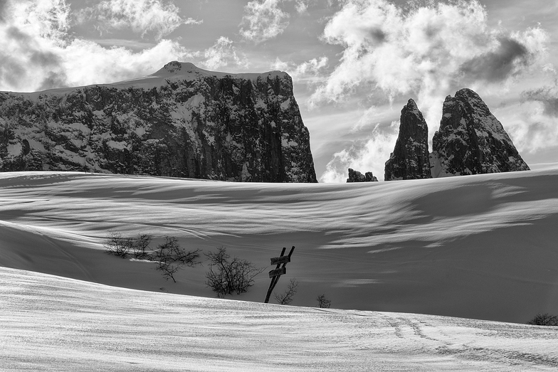
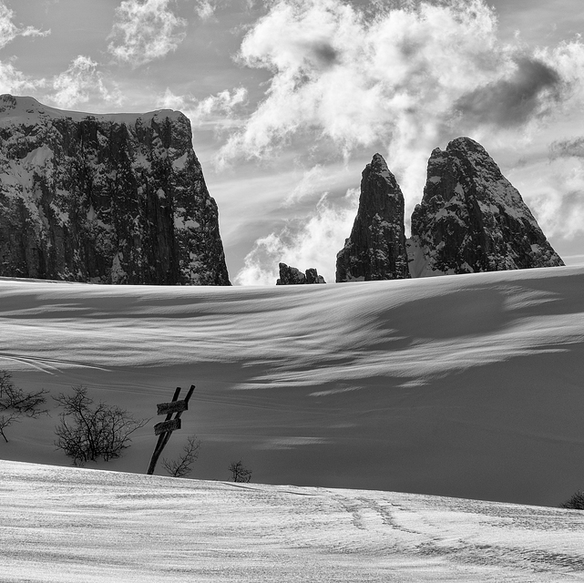
Latest snow reports near Alpe di Siusi:
Moderate snow reported from Rolle Pass Airport at 2083 metres elevation only 2 kms S of Passo Rolle Ski Resort from Passo Rolle
Blowing heavy snow reported from Rolle Pass Airport at 2083 metres elevation only 2 kms S of Passo Rolle Ski Resort from Passo Rolle
Moderate snow reported from Rolle Pass at 2083 metres elevation only 2 kms S of Passo Rolle Ski Resort from Passo Rolle
| Top snow depth: | — |
|---|---|
| Bottom snow depth: | — |
| Fresh snowfall depth: | 26 cm |
| Last snowfall: | 15 May 2026 |
| Snow Alerts | Create Alert |
0.0 | Bluebird Powder days Fresh snow, mostly sunny, light wind. |
|---|---|
0.1 | Powder days Fresh snow, limited sun, any wind. |
0.0 | Bluebird days Average snow, mostly sunny, light wind. |
The above table gives the weather forecast for Alpe di Siusi at the specific elevation of 1600 m. Our sophisticated weather models allow us to provide snow forecasts for the top, middle and bottom ski stations of Alpe di Siusi. To access the weather forecasts for the other elevations, use the tab navigation above the table. For a wider view of the weather, check out the Weather Map of Italy.
Click here to read further information on freezing levels and how we forecast our temperatures.
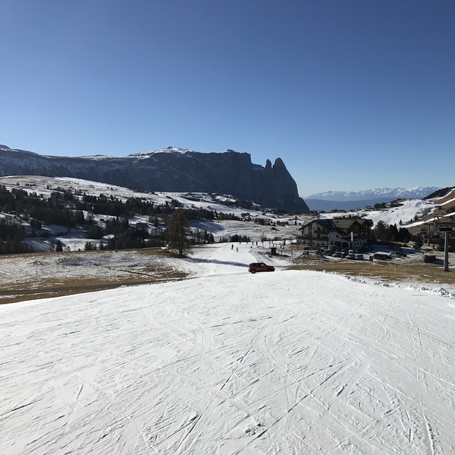
Resort name is also written as Alpe Di Siusi.
Overall 4.1 Based on 14 votes and 1 review
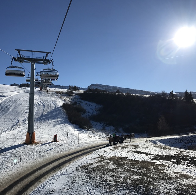
We have skied Alpe Di Siusi 2 years, both times in February. It is a lovely resort with great beginner and intermediate conditions. Not crowded, very scenic and picturesque. I love the wonderful Italian food available in the many small restaurants on the slopes. I am advanced/expert and so there is not much to challenge me but the entire Val Gardena area is close by and you can buy a Dolomite superski pass. One negative is, because the resort was built in organic fashion (used to be individual hotels with their own lifts), there is a bit more of flat areas between lifts than I would like. But it is a great family ski destination.
peter thomson from Netherlands writes:
We have skied Alpe Di Siusi 2 years, both times in February. It is a lovely resort with great beginner and intermediate conditions. Not crowded, very scenic and picturesque. I love the wonderful Italian food available in the many small restaurants on the slopes. I am advanced/expert and so there is not much to challenge me but the entire Val Gardena area is close by and you can buy a Dolomite superski pass. One negative is, because the resort was built in organic fashion (used to be individual hotels with their own lifts), there is a bit more of flat areas between lifts than I would like. But it is a great family ski destination.


 Nearest