WORLD SNOW ROUNDUP #78
Issued: 13th March 2019
By Patrick “Snowhunter” Thorne
Our latest roundup of snow conditions around the world. Each section that follows below goes into detail country by country. Clicking the map thumbnail will take you to our dynamic snow forecast map for the latest detail (where you can also overlay live weather & reported conditions). Weather outlooks for Europe and North America can be found at the end of this roundup.
INTRODUCTION:
Most of the Alps has seen the heaviest snow for two months over the past 72 hours. Some Swiss ski areas have reported up to 90cm (3ft) of fresh snow to start the week.
The good news, for those still hoping for powder this late in the season, is that it’s due to keep snowing all this week and there could be another
Elsewhere in Europe, there’s been the first fresh snow for the best part of a month in the Dolomite and Pyrenees too, transforming conditions there.
In Northern Europe, it has been snowy in both Scandinavia and Scotland with some areas in Norway and Sweden posting up to 50cm of fresh snow in the past week. Scottish ski areas are gradually re-opening terrain previously closed by the big thaw, caused by last month’s record February temperatures.
Things have settled down for the start of this week in North America after yet another very snowy week last week. This time it was Colorado getting the brunt of it with Breckenridge (262/262cm), reporting 1.5
INDEX:
Austria / France / Switzerland / Italy / Andorra / Norway/Sweden / Germany / Bulgaria / Scotland / Japan / USA / Canada / Europe / North America
Austria
It has been snowing across most of Austria and the accumulations of the past week, in particularly the past 72 hours, are the biggest since the west of the country ground to a standstill in the huge snowfalls during the first three weeks of January. One of the resorts that really got dumped on then, Saalbach Hinterglemm (90/210cm) is seeing huge snowfalls again, reporting more than 60cm (2ft) of new snow since the weekend. For most other Austrian resorts the numbers are 20-50cm of fresh snow, so far.
FRANCE

There have been snowfalls across the French Alps over the past week too with some of the heaviest snowfalls since the weekend. Typically, resorts have reported 10-30cm so far and bases are getting progressively deeper for the first time in several months. Les Arcs (147/295cm), which has had 25cm of fresh snow since Sunday, is currently posting the deepest base in the country. But it is a fast changing picture with more snow falling and lots of resorts posting totals close to those in Paradiski. Chamonix (5/205cm) is actually posting the biggest snowfall in the country in the past 72 hours with 35cm (14″) but skiers in resort say this has been falling as rain in town at times.
SWITZERLAND

Swiss ski areas have reported the biggest snowfalls of the past week with one resort Anzere (60/220cm) reporting 90cm (3ft) of snowfall in the past 72 hours and a total of 98cm, just under a
ITALY

Italy has seen its biggest snowfalls of the past few days along its western border with France, particularly in the Piemonte and Aosta Valley areas. In this area there was up to 35cm of fresh snowfall reported. San Domenico di Varzo (40/400cm), in Piemonte, reported 25cm in the past 24 hours and has the joint deepest base in the country. There was some snow for the Dolomites at the end of last week too. Passo Tonale (60/400cm) on the Lombardy/Trentino border region equals the country’s deepest base and is expected to remain open to late spring, as usual. At long
ANDORRA
There have been several periods of light to moderate snowfall in Andorra over the past seven days, bringing to an end a period of predominantly warm, dry weather. These conditions saw bases slowly decrease, although not to any serious degree that threatened the opening of slopes. The new snow, in the middle of last week and the start of this, has refreshed cover and there’s more on the way this week. Base depths remain good across the principality with Arcalis (160/220cm) posting the deepest.
NORWAY/SWEDEN

It has been one of the snowiest weeks of the season so far in Scandinavia with heavy snow reported across much of Norway and Sweden. So, there has been plenty of powder to enjoy, especially at more northerly resorts like Kåbdalis (120/120cm), in the Jokkmokk area of Northern Sweden, which reported 20cm of fresh snow at the weekend. Over on Norway’s coast, Voss (50/100cm) was another snowfall winner with 42cm of fresh snow in 72 hours.
GERMANY

Some good snowfalls in the southern Oberbayern region of Germany as well as in Bayrischer Wald, with the resort’s highest ski area: the Zugspitze (0/400cm) once again posting the biggest snowfall totals with 60cm (2ft) in the past few day; 50cm of that fell in the past 24 hours alone. There were good snowfalls across much of the country’s ski regions though with Oberstdorf (40/190cm), in the Allgau region, reporting 20cm of fresh in 24 hours for example. The resort has all lifts running and all of its slopes fully open.
BULGARIA
Temperatures have dropped in Bulgaria to mostly sub-zero from resort to the mountain top and some ski areas including Pamporovo (220/260cm) are seeing fresh snow after several weeks of thawing with warm temperatures (Pamporovo’s upper slope base depth was 290cm a month ago). Snow depths look good for the rest of the season with the area’s largest resort Bansko (100/160cm) still with a metre lying on lower slopes and almost all runs open.
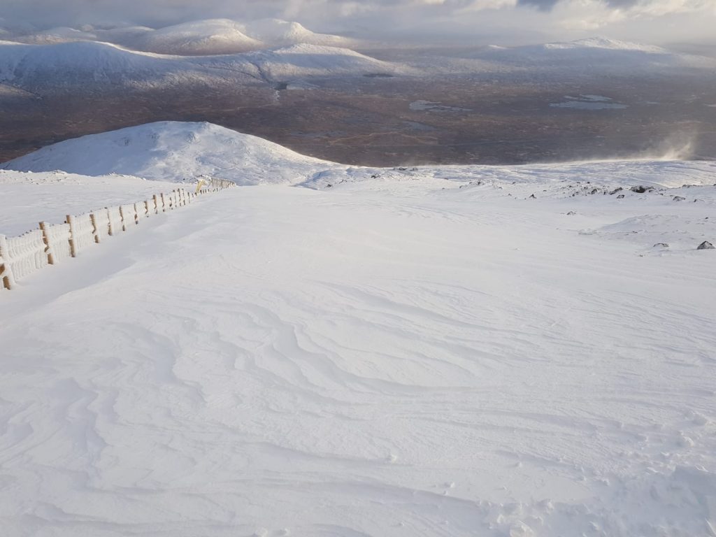
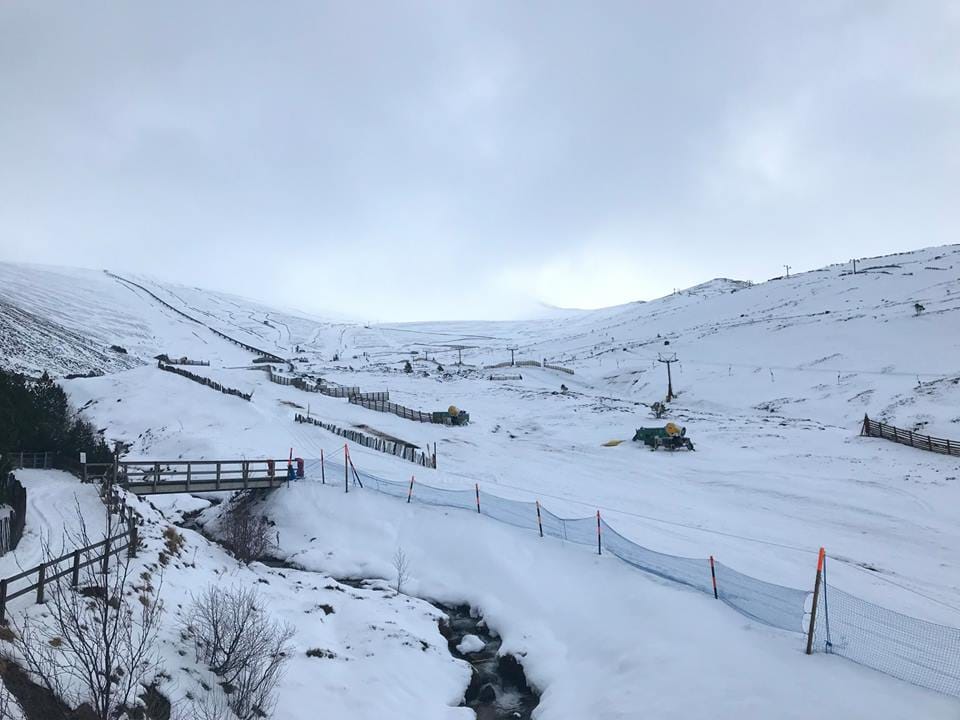
SCOTLAND

Another week of improving conditions in Scotland as the cold spell that began with the start of spring continues and the snow keeps falling, on the hills at least. The biggest improvements, after almost all the snow on the hills was wiped out by the February-thaw, has come in the west with Glencoe (5/45cm) and Nevis Range (5/45cm) both able to open terrain on their upper mountain slopes at the weekend. The other three areas say they need more snow before they can re-open runs but it is still coming down.
JAPAN
It has been a third successive week with little fresh snowfall to report in much of Japan, particularly on the famed ‘powder island’ of Hokkaido to the north. Niseko (120/320cm) has finally seen its season snowfall stat tick over from the 899cm, it has been for most of March, to 900cm. But with not much snowfall on the horizon still, it’s not looking good for hitting the annual average. Although, that said, there’s still nearly two months of the season left. Further south, in Nozawa (80/300cm), there was a 20cm snowfall last Friday but rain has fallen more recently.
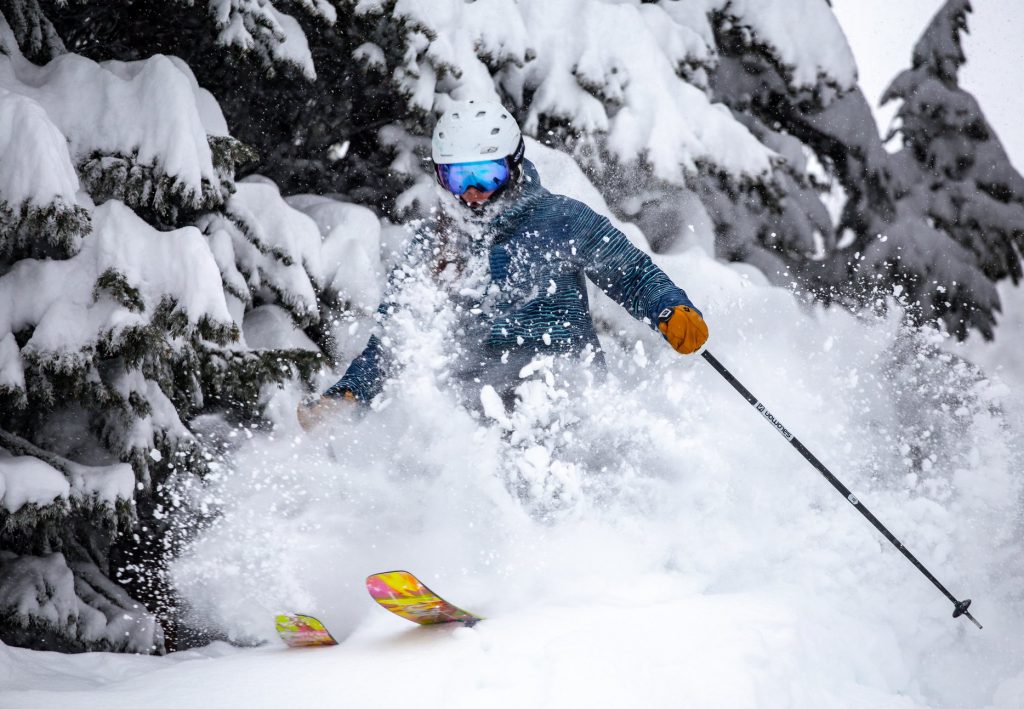
USA

Last week was another very snowy one in the US with Colorado making the headlines for big accumulations there (most resorts got at least a
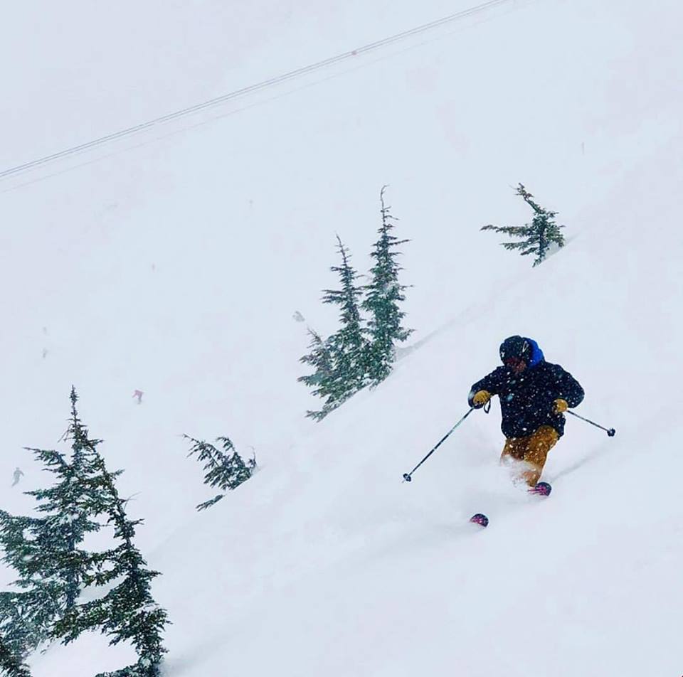
CANADA

It’s eastern Canada that has again been seeing the biggest snowfalls in in the country over the past week. Tremblant (537/537cm), in Quebec, is one of several resorts reporting more than 40cm of fresh snow in the past few days. It has moved further ahead of its west coast competitors on the ‘deepest-snow-in-the-nation’ table. That’s not to say the west has stared dry and Whistler Blackcomb (268/268cm), where there’s still two months of the season left to run, reported 29cm in the same period.
EUROPEAN WEATHER OUTLOOK

There is no immediate end in sight to the predominantly snowy weather in the Alps with most of the region expected to see more snow through the rest of this week; intensifying by Friday. Many areas may indeed see 30-60cm of snow on Thursday and Friday before a weekend lull in the weather, then the snowfall resumes on Monday. Seven
NORTH AMERICAN WEATHER OUTLOOK

After the massive snowfalls of recent weeks and


