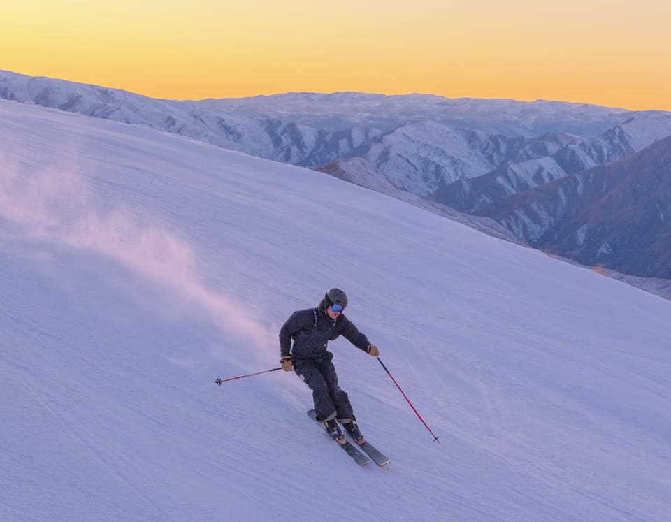
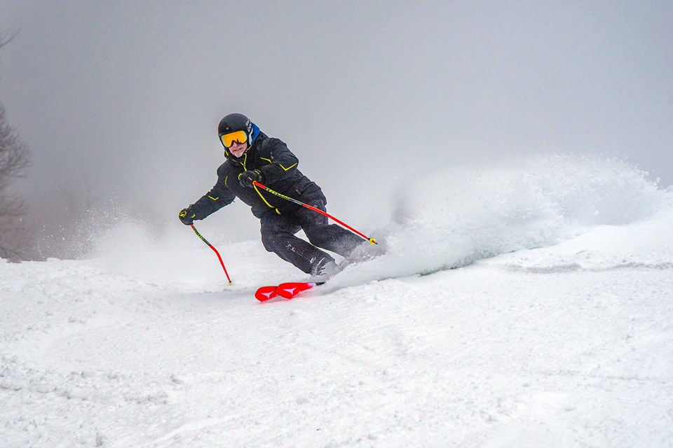
World Snow Roundup #71
Issued: 22nd January 2019
By Patrick “Snowhunter” Thorne
Our latest roundup of snow conditions around the world. Each section that follows below goes into detail country by country. Clicking the map thumbnail will take you to our dynamic snow forecast map for the latest detail (where you can also overlay live weather & reported conditions). Weather outlooks for Europe and North America can be found at the end of this roundup.

INTRODUCTION:
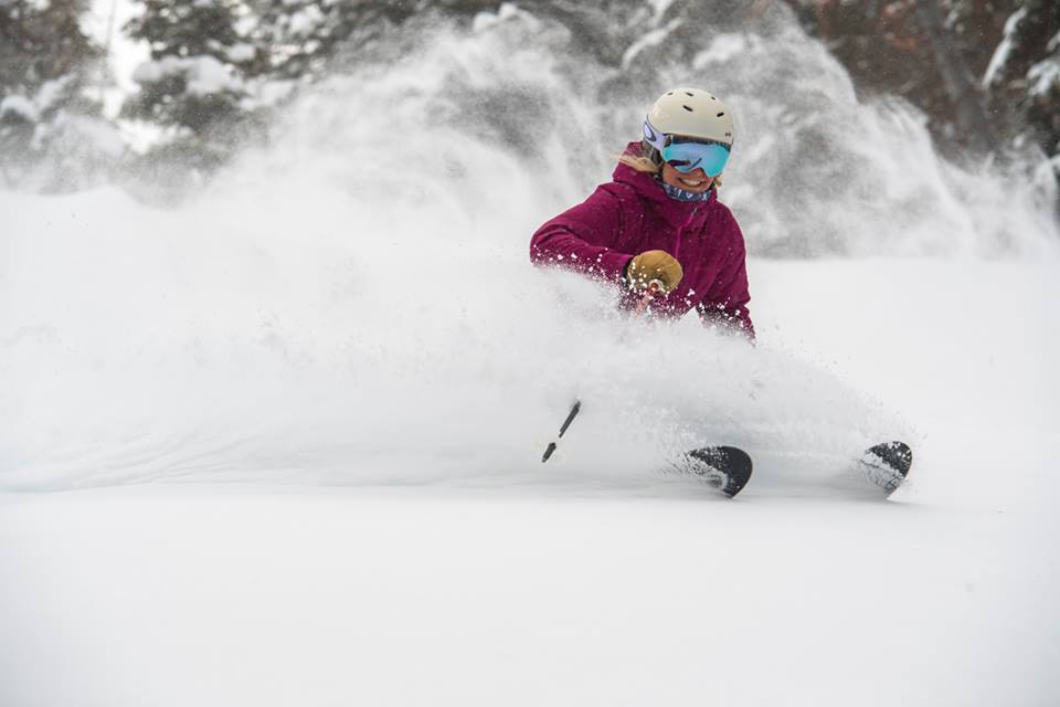
‘Quieter’ perhaps best describes the weather in the Alps this past week after the heavy snowfall that lasted for three weeks from Christmas to mid-January in the Eastern Alps. The snow there is now lying up to six
INDEX:
Austria / France / Switzerland / Italy / Andorra / Norway/Sweden / Germany / Bulgaria / Scotland / Japan / USA / Canada / Europe / North America
Austria
Austrian ski resorts are breathing something of a sigh of relief after three weeks of exceptionally intense snowfall (which some have claimed to be the heaviest in a century) has ended for the time being. There’s been very little fresh snow for a week now in most of the north and west of the country which saw the brunt of the extreme weather. All ski areas have now reopened, including little Hochkar (120/500cm) which made headlines when it was abandoned due to extreme avalanche danger. Now it’s posting the deepest base in the country. With the temporary end of the heavy snow in North-Western Austria, it’s worth noting that Carinthia and the south east of the country, which in contrast had little snow this winter, has had some decent snowfalls in the past week too. Franz Klammer’s home resort of Bad Kleinkircheim (15/120cm), down near the Slovenian border, received 30cm at the weekend.
FRANCE

After a snowy end to last
SWITZERLAND

After the huge snowfalls in Eastern and Central Switzerland, followed by good snowfalls in Western Switzerland too, the snowfall rate has slowed considerably on Swiss slopes over the past week. As with Austria, this has meant more terrain open, a reducing avalanche risk, easing access, low temperatures and some great powder skiing with the fresh snow lying
ITALY

Italy had its fair share of fresh snow in many parts of the country including the Dolomites in the east where it was perhaps most needed to freshen up the cover after around 6 weeks with little snowfall. However, most of the groomed runs were open anyway thanks to the near 100% snowmaking cover in the region. Otherwise, it continues to be a less than memorable winter so far in terms of the abundance of snow. But, that said, most of Italy’s destination resorts have good, or at least adequate, top-to-bottom cover with all runs open and all lift turning so there are few complaints. Madesimo (45/250cm) continues to post the deepest base of the country’s larger ski areas.
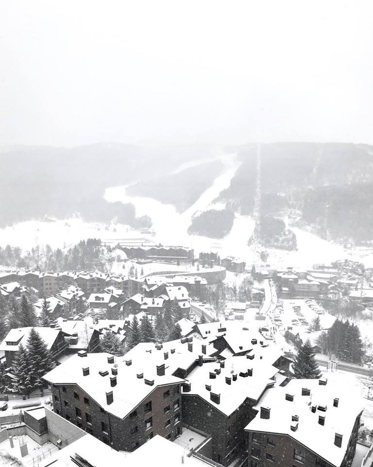
ANDORRA
It’s the snowiest start to the week for some time in Andorra with ski areas reporting up to 30cm of snow in the past 48 hours. Some resorts on the French and Spanish sides of the Pyrenees have posted bigger snowfalls still. The Andorran ski areas say that, like the Dolomites, they didn’t really need the snow as everything was pretty much open anyway. But skiers and boarders have been delighting in the fresh powder.
NORWAY/SWEDEN

Scandinavian ski slopes have seen some of the biggest snowfalls of the past week and things have quietened down in the Alps. Resorts in Norway have posted falls of up to 30cm in 24 hours and in Sweden, it’s been up to 20cm in the same period. Voss (40/100cm), on the Norwegian coast, has seen its conditions really transformed by the fresh snow after a slow start to the season there. It is now back towards it’s normal ‘powder pocket’ reputation. Bjorli (150/150cm), in the east of the country, was another winner reporting regular 20cm falls for several days over the weekend. It has one of the region’s deepest bases.
GERMANY

After a poor start to the season for most German ski areas in December, the south of the country was hit hard by the huge snowfalls that impacted Austria and Eastern Switzerland from Christmas to mid-January. Many ski areas were closed due to avalanche danger and in some cases cut off by road too. Again, like Austria and eastern Switzerland the snow has now mostly stopped falling (a few
BULGARIA
Bulgaria’s ski areas have had a snowy week which has further improved conditions there. All of the main areas are now posting bases of at least a
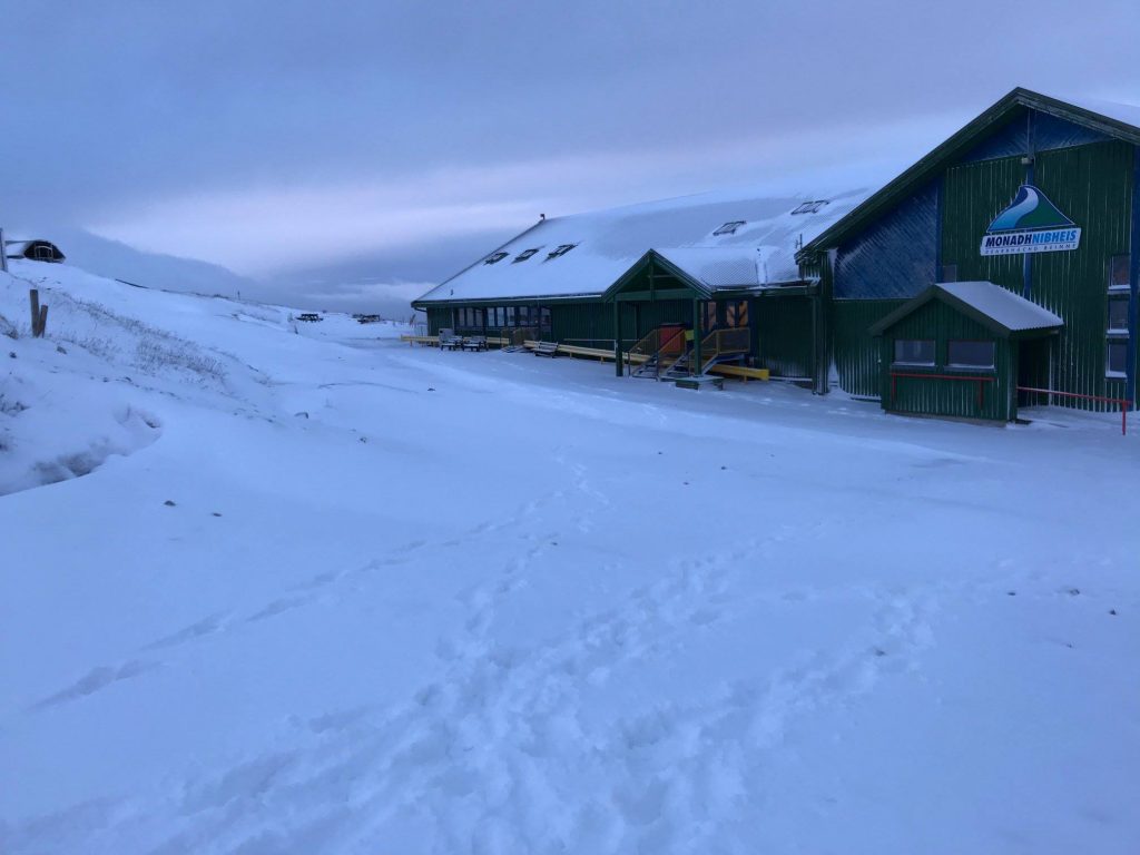
SCOTLAND

Conditions are continuing to gradually improve in Scotland with predominantly low temperatures allowing overnight snowmaking and some natural snowfall too. The main road past Glencoe (20/20cm) was closed by snow and ice on Tuesday morning (22nd January) but then opened three lifts before noon; the most skiing offered in Scotland yet this season. Nevis Range also offered ski touring. Otherwise, as of Monday this week all five Highland areas have some skiing possible, albeit mostly short beginner and snow play areas, thanks to all-weather snowmaking machines and dry slopes under the snow. Cairngorm (20/10cm) has the largest beginner area open including a 200m run and some terrain park features. It reported 4cm of fresh snow overnight on Monday/Tuesday this week.
JAPAN
A very snowy week in Japan with Yuzawa (340/340cm) reporting 63cm of snow in the past 24 hours. 170cm in the past week and 3.6
USA

It has been a snowy week in the USA with first the West Coast then the East Coast and now again the West Coast hit by big snowfalls. Resorts in California and Utah posted three-day totals as high as 1.2
CANADA

Unusually, it is Eastern Canada rather than Alberta and BC that has been posting some of the biggest snowfall tallies of the past few days with Quebec’s Massif du Sud (173/273cm) reporting 70cm of snowfall since the weekend and now posting the deepest base in the country. Fellow Quebec ski area Tremblant (254/254cm) has the second deepest, just a few
EUROPEAN WEATHER OUTLOOK

Following the heavy snow from Christmas to mid-January in the Eastern Alps, it’s looking much quieter over the coming week with most areas in the Alps (East and West) expecting 10-30cm from mostly small accumulations through the week up to the weekend. There’ll be a small amount of fresh snow for many areas on Wednesday and for some on Thursday before clearer weather arrives into the weekend. It’s a similar picture in The Dolomites where 10-20cm of fresh snow is expected by the weekend. In the Pyrenees, it’s a snowy picture for the middle of this week with some ski areas on the Spanish side possibly seeing up to a
NORTH AMERICAN WEATHER OUTLOOK

It’s looking like something of an East/West split for the week ahead in North America. There are no big accumulations in the forecast, but ski areas on the east coast look likely to receive regular snowfalls most days which may accumulate to 20-40cm over the course of the week. The picture on the West is more mixed with some snowfall expected in Wyoming, Colorado, BC and Alberta but not much if any in California or Utah which saw the biggest accumulations over the past week.