WORLD SNOW ROUNDUP #68

Issued: 03rd January 2019
By Patrick “Snowhunter” Thorne
Our latest roundup of snow conditions around the world. Each section that follows below goes into detail country by country. Clicking the map thumbnail will take you to our dynamic snow forecast map for the latest detail (where you can also overlay live weather & reported conditions). Weather outlooks for Europe and North America can be found at the end of this roundup.
INTRODUCTION:
There’s an East/West divide in both Europe and North America at present although the side getting the most snow differs on each continent. In North
In
INDEX:
Austria / France / Switzerland / Italy / Andorra / Norway/Sweden / Germany / Bulgaria / Scotland / Japan / USA / Canada / Europe / North America
Austria
Many Austrian ski areas have been enjoying a snowy start to 2019 and it is looking like it will be getting snowier still over the coming week. Uttendorf (30/154cm) in the Salzburgerland region actually posted the biggest snowfall in the Alps over the last week with 105cm but six of the ten areas posting the most snowfall in Europe this past week are in Austria and many of the country’s centres have had 30-60cm of snowfall since the weekend. A little ironically perhaps Austrian resort with the deepest snow base at present, Solden (15/331cm) hasn’t had the fresh snow and is in an area in the south west of the country that is missing the bigger falls further north and east, although it should see at least some fresh snow in the coming week. St Anton am Arlberg (50/285cm) reports the second deepest base in the country.
FRANCE

There’s not a lot happening in terms of snow for
SWITZERLAND

There’s been no fresh snow this week in Western Switzerland but some quite good snowfalls on the Western fringes of the country, particularly in the canton of Graubunden. Davos (37/153cm) reported 20cm in the past few days for example and the smaller resort of St. Antönien (40/60cm) a full 40cm. Conditions are reported to be largely good in the west, however, thanks to the big snowfalls in November and earlier in December which has built bases. The only issue, as in other areas, is for lower slopes at big resorts
ITALY

Another fairly snowless week in Italy with the only significant snowfall reported up by the Austrian border in the South Tyrol, here Speikboden (58/105cm) reported 35cm of fresh snowfall. It has all runs open and all lifts operating. But so do most Italian ski areas (or just about), thanks to autumn snowfalls and snowmaking most of the country’s larger areas have all or most of their groomed runs open. San Domenico di Varzo (20/340cm) in Piemonte region in the west continues to have the country’s deepest reported base.
ANDORRA
Andorra’s ski areas have enjoyed another clear, dry week with temperatures generally sub-zero as the Pyrenees continue to wait their first significant snowstorm of the winter, following the unusual big snowfalls of early November that led to early openings of areas in Portugal and Spain two months ago. The Andorran ski areas continue to make the best of the conditions with the biggest, Grandvalira (0/45cm) reporting nearly 90, or about three-quarters of its ski runs, open. Vallnord (20/50cm) has a similar proportion of its
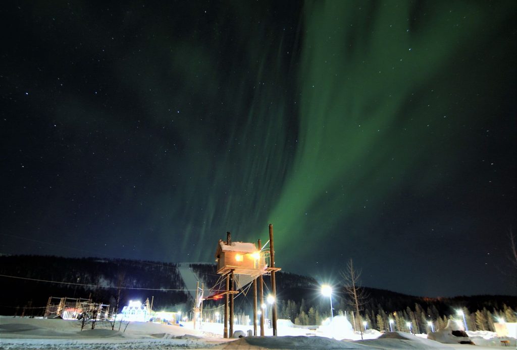
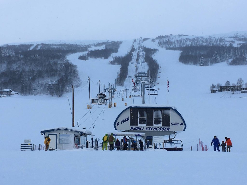
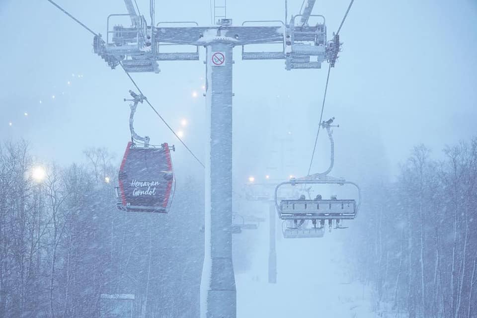
NORWAY/SWEDEN

It has been a snowier week than usual, this winter at least, in Scandinavia with many areas reporting 10-30cm of fresh snowfall. Most are also now showing all or most of their terrain open and lifts turning. Bjorli (120/120cm) in Eastern Norway reports the most snow this week (105cm) and also the deepest base in the region. The area’s biggest resort, Are (49/49cm) has just had a few centimetres of fresh snow but now has about half of its terrain open, including some 50 groomed runs.
GERMANY

A definite improvement to the picture in Germany for the new year with some of the first decent snowfalls for many of the country’s resorts. That said lower elevations are still decidedly snowless so still more snow expected over the week ahead should further improve things. The Zugspitze (0/215cm) glacier remains not only the country’s highest but also the one reporting the most snowfall this week 60cm), but whilst it was often the only German area posting snowfall over the past few months, this week has been very different with many areas reporting 20-40cm in the last few days. Reit
BULGARIA
Things have turned snowier in Bulgaria with 10-20cm of snowfall in the past day or so and 20-40cm forecast for the week ahead. Pamporovo (85/100cm) is reporting the country’s deepest base and Borovets (60/70cm) the most terrain open, at least in terms of terrain percentage (about 75%). Bansko (15/60cm) has about half of its runs open.
SCOTLAND

Three of Scotland’s ski area now have TechnoAlpin SnowFactory all-weather snowmaking units operating and were able to offer beginner lessons and snow fun’ on short runs over the busy holiday period. They picked the right season to install them as it has been exceptionally warm and there’s very little natural snow still lying, except on the very tops of the hills, so they would not be open without them, as indeed the two that don’t have the machines, Glenshee and Nevis Range, currently aren’t. But Glencoe (0/5cm), The Lecht (0/20cm) and Cairngorm (0/20cm) each currently has a short nursery slope o[pen despite temperatures getting above +10C at times over the past week.
JAPAN
The snow is continuing to fall daily on most
USA

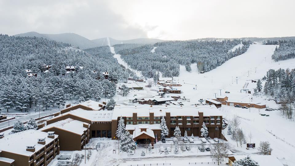
There have been some big snowfalls in the Western US There have been some big snowfalls in the Western US over the past few days, with some of the largest in the south west of the continent in southern Colorado and New Mexico. Here Purgatory (97/112cm) reported 56cm (nearly 2 feet) of snow since the weekend and Silverton (102/216cm) 87cm (nearly 3 feet). However the very deepest bases, following huge December snowfalls up to the past week, remain in the northwest corner of the county although Alpental (132/323cm) has just overtaken the âusual’ snowiest destination on Mt Baker (216/305cm) to post the deepest. Both areas are in Washington state where large snow deliveries are expected to resume very shortly. Conditions are still not quite back up to what they were in November and early December in the East but the unseasonably warm temperatures that hit more southerly states over the latter half of December are having less of an impact in more northerly ski states like Maine and Vermont where some resorts have reported fresh snow in the past few days. For example 10cm for Smugglers’ Notch (30/102cm) – it’s also down to a bracing -16C there.
CANADA

Ski areas on Canada’s West Coast dominate the âdeepest snow in the country’ table with Vancouver’s local hill Grouse Mountain (157/215cm) top of the table. But conditions did change over the first half of this week with a brief lull in the succession of December snowstorm deluges that brought up to 3 metres (10 feet) of snow to Western BC last month with the good news that it had turned colder again in Quebec on the east (where temperatures had been unusually high leading to temporary closures at some hills). Some of the country’s leading areas there including Tremblant (156/156cm) reported 20cm+ fresh snow, the first for a while. It’s about to switch back again though with more snow forecast for the west.
EUROPEAN WEATHER OUTLOOK

The snow that has been falling predominantly in the north-eastern area of the
It’s a less promising picture in the Western Alps France and the French-speaking half of Switzerland plus much of Italy), as well as the Pyrenees, where there’s little or no snow in the forecast for the coming week.
Italy should see some snowfall in the coming week although, for most areas, the Dolomites included, it’s likely to just be a few
In the
For
NORTH AMERICAN WEATHER OUTLOOK

The next huge dumps off the Pacific is heading into Western North America with the biggest snowfalls over the next few days expected in states from California to Alaska where up to 70cm of new snow is expected. Not much of this is currently forecast to make it to the Rockies. The East coast should see another 5-1`5cm of snow in the next 7 days.
In Canada, after a brief break in the cycle of snowstorms coming in off the Pacific, normal service looks set to resume in the next day or two with 40-80cm of snow forecast to hit resorts across Alberta and BC by this time next week. The forecast for Whistler Blackcomb (0/198cm) is even bigger with potentially up to 1.8m (6 feet) of snow falling there.
There are lots of other resources on Snow-Forecast.com and in our mobile apps for finding the best snow. Check out our world snow picks page here.


