WORLD SNOW ROUNDUP #269

Issued: 07h November 2022
By Patrick “Snowhunter” Thorne
World Overview
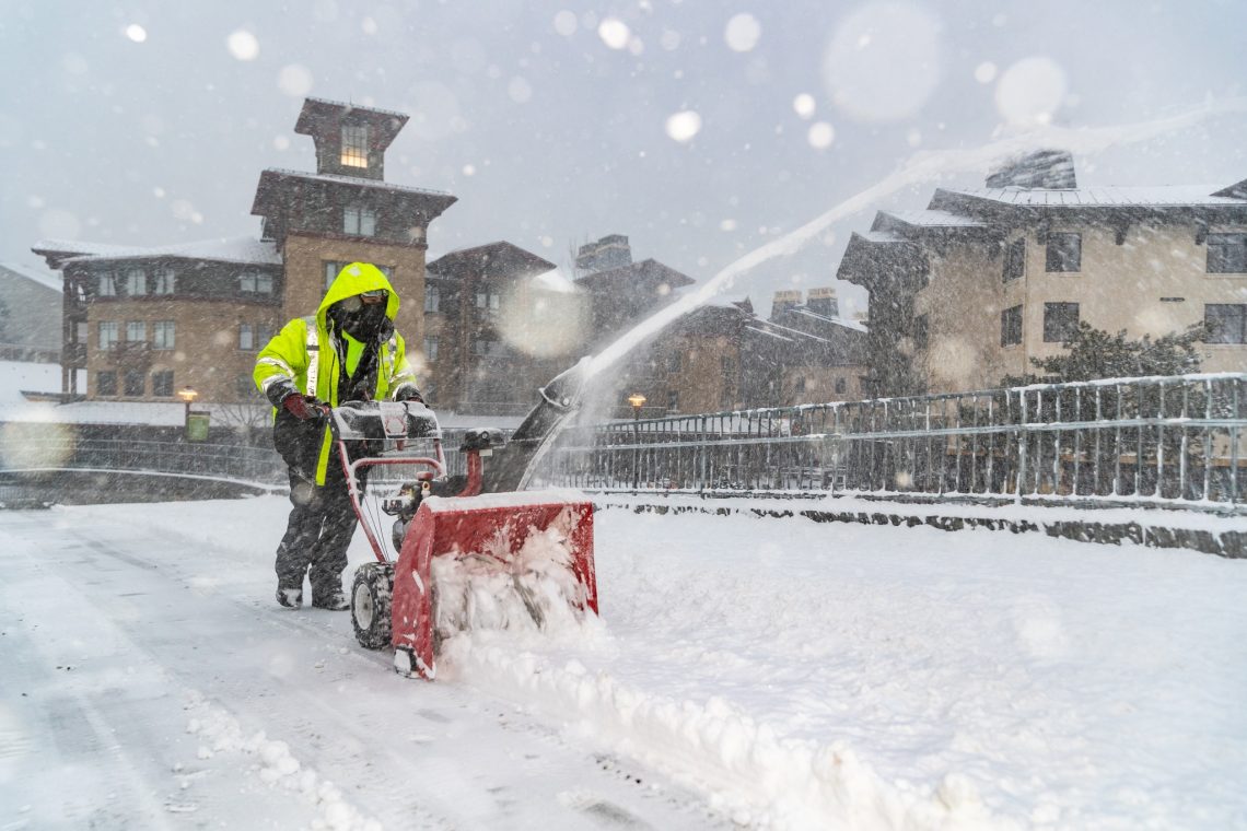
It’s December and the start of wintertime in the Northern Hemisphere, by the meteorological measurement of the seasons anyway. Hundreds of ski areas are now open and the season got underway at the weekend in several countries that had nowhere open before Saturday. They include the Czech and Slovak Republics, Germany and Poland, among others.
For most of Europe, it has been a cold week if not an especially snowy one. Conditions remain best above about 1500m altitude, ideally above 1800m in fact. But it has been cold enough for snow-making and some natural snowfall at lower levels.
In North America, the great start to the season in the west shows no real sign of stalling with more significant snowfall in the Rockies. A bit more up and down at this early point of the winter in the east, with warmer weather mixed in with the cold.
Europe
EUROPE INTRO
It’s beginning to look a lot like the start of the ski season with more and more ski areas opening in Europe. That said, things are still finely balanced. Some areas with high altitude slopes have decided to open early following weeks of fairly consistent cold temperatures for snow-making and moderate natural snow showers too. Others with lower slopes, which have not quite felt the benefits and had planned to open last weekend, have instead delayed doing so as they’ve not been able to make up enough lost ground since the warm, dry spell ended just over a fortnight ago. Anyway, the overall picture remains pretty positive, the first ski areas in a number of countries that hadn’t had a ski area open until now, have opened. This means the number of countries where the ski lifts are turning is now in double figure and the number of resorts open in each country keeps growing, meaning we’re now into triple figures, just about, for the number of open areas.
AUSTRIA REPORT
Austria’s dominance of what’s open in Europe lasted right through autumn with more ski areas open and more terrain available in areas that were already open than other countries. This week it’s still just about holding on to that prominent position with a few dozen more areas opening for the season, but others are now starting to catch up fast on both measures. The weather has turned snowier again in the past few days after a dry end to last week and weekend for most. But it has remained generally cold, enough for snow-making systems to keep base building giving a positive picture for the start of the season, albeit with the best conditions still up high at this early point. Ischgl (20/40cm / 8/16”) has the most terrain open, with over 125km of slopes already, while Solden (0/145cm / 0/58”) has the second most with over 100km of runs open now. Among the areas newly opened are some of Austria’s and Europe’s biggest including Lech-Zurs (25/50cm / 10/20”) in the Arlberg and Saalbach Hinterglemm.
AUSTRIA FORECAST
It should remain cold for the week ahead with plenty of overcast skies with sunny periods as well. However, largely dry until later this week when more snowfall is forecast. Temperatures are close to freezing and well below zero on the ski slopes so snow-making can continue as required.
SWITZERLAND REPORT
Swiss centres have also been opening en masse since the weekend with the number of areas open more than doubling to over 30 compared to a week ago. The amount of terrain open in already open areas is growing rapidly with the Zermatt-Cervinia area first to post more than 100km of runs open there. Resorts opening for the first time this season include Grimentz, Leysin and Villars. It has been a largely dry week after the snowfalls at the start of last week with a mixture of cloudy and sunny days across Switzerland. It has been cold though so snow-making systems have been operating at capacity in many areas. Saas Fee (5/200cm / 2/80”) continues to post the deepest snowbase in the country and (just about) the world …although ski areas in the Pacific Northwest of the US are fast catching up at present.

SWITZERLAND FORECAST
Largely dry for the next few days with temperatures ranging from -10C on high slopes at night to +5C in lower valleys in the afternoon. Overcast skies but with sunny periods for most areas. Snowfall is expected to return later in the week.
FRANCE REPORT
France’s ski season is slowly gaining pace but it remains a bit stop-start. La Clusaz, for example, which had been due to start its season on Saturday decided to delay until the latter half of this week. They say they could have opened but preferred to wait until things seemed much better. Then Avoriaz, which wasn’t due to open until later in the month, decided it would open early, for a preview weekend on Saturday and Sunday. This all points to a picture of better conditions up high, which is pretty normal for the time of year really. Avoriaz was among about a dozen resorts opening, including Alpe d’Huez and Les 2 Alpes, opening at last after cancelling much of its summer skiing and then planned October operations due to the unprecedented warm spring to autumn temperatures at high altitude in the Alps this year. The past week though, thankfully, has continued at or below freezing with more fresh snow showers and good temperatures for snow-making.
FRANCE FORECAST
After a mostly dry and sometimes sunny week following the snowfall at the start of last week, the next wave of snowfall is beginning to move in and is expected to continue through the next few days.
ITALY REPORT
A major opening weekend for Italy as well with more than 50 ski areas now open including most in the country’s biggest, Dolomiti Superski, which saw over 400km (250 miles) of slopes open at the weekend including the iconic Sellaronda circuit. There’s not been much fresh snowfall this week, however, but it has remained fairly cold, enough for snow-making systems to keep pumping snow onto the slopes. Cervinia (30/110cm / 12/44″), which now provides access to over 110km of slopes shared with neighbouring Zermatt, is posting the deepest base in the country.
ITALY FORECAST
After the mostly dry week, it should be getting increasingly snowy over the latter half of this week with light to moderate snow forecast across a wide area and temperatures staying low.
GERMANY REPORT
The 22-23 ski season is underway in Germany with some very different centres opening for the season. Winterberg (30/30cm / 12/12”), in the country’s Central Uplands, are masters of snow-making and other techniques to open snow slopes at its low elevation even early and late season. On the other hand, the Zugspitze glacier (20/20cm / 8/8”), down close to the Austrian border in Bavaria, has year-round snow cover and the country’s highest slopes at 2720 m, so it’s here that has benefitted most from the November snowstorms. It hasn’t opened much terrain yet though, just a few km, about 10% of its maximum area.
GERMANY FORECAST
The weather will stay cold, well below freezing day and night above 2000m. Mostly dry though, with just a few light showers in the forecast, snow up high, possibly snow at low elevations.
SCANDINAVIA REPORT
Scandinavia is fast getting darker as midwinter approaches, but its also getting colder and snowier with some of the best natural early-season snowfall in Europe and of course snow-making systems topping things up on the floodlit slopes. The region’s biggest operator, Skistar, announced all of its areas open or opening this week, including the biggest, Sweden’s are and Salen as well as leading Norwegian resorts Hemsedal (25/25cm / 10/10”) and Trysil (25/25cm / 10/10”). The weather news isn’t quite universally good with Geilo announcing a brief closure at the weekend due to rain. But, overall, the direction of travel to full winter is good and further north in Finland it is fully white and snowy.
SCANDINAVIA FORECAST
Cold (typically -5 to -15C) across much of Scandinavia and largely dry with a mix of sunny and cloudy days. The best chance of snowfall is up in Lapland where it is expected to continue through the week ahead.
SCOTLAND REPORT
Temperatures in the Highlands of Scotland raised a little in the daytime but stayed close to freezing overnight and well below at altitude. Some showers and snow up high, but a lot of dry weather too. Ski areas have also been firing up their all-weather snow-making systems.
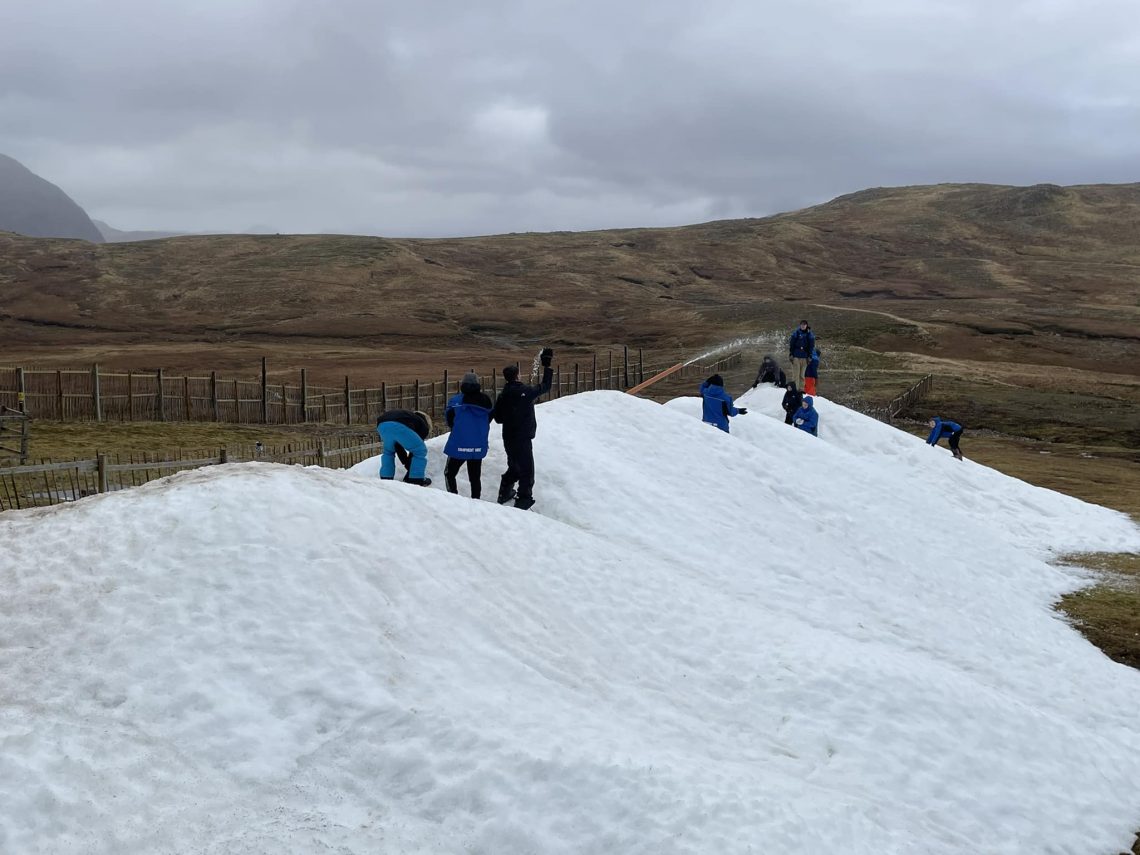
SCOTLAND FORECAST
It’s a promising start to December in the Highlands with temperatures due to stay close to freezing for the coming week. There’s not a lot of snowfall in the forecast as yet though, just light showers according to the current models.
SPAIN / ANDORRA REPORT
The ski season in the Pyrenees is continuing to pick up pace after Spain’s Baqueira Beret ski area (30/40cm / 12/16”), was the first to open at the end of November. Almost all ski areas have opened in Andorra and Spain, where there was a public holiday on Tuesday and another coming up on Thursday, making opening this week particularly worthwhile. The region’s biggest ski area, Grandvalira, was one of those to open with 65km (41 miles) of runs open from day one. Ski areas have also opened in the French Pyrenees including Cambre d’Aze and Porté Puymorens. There’s been plenty of fresh snow showers over the past week and low temperatures for snow-making too.
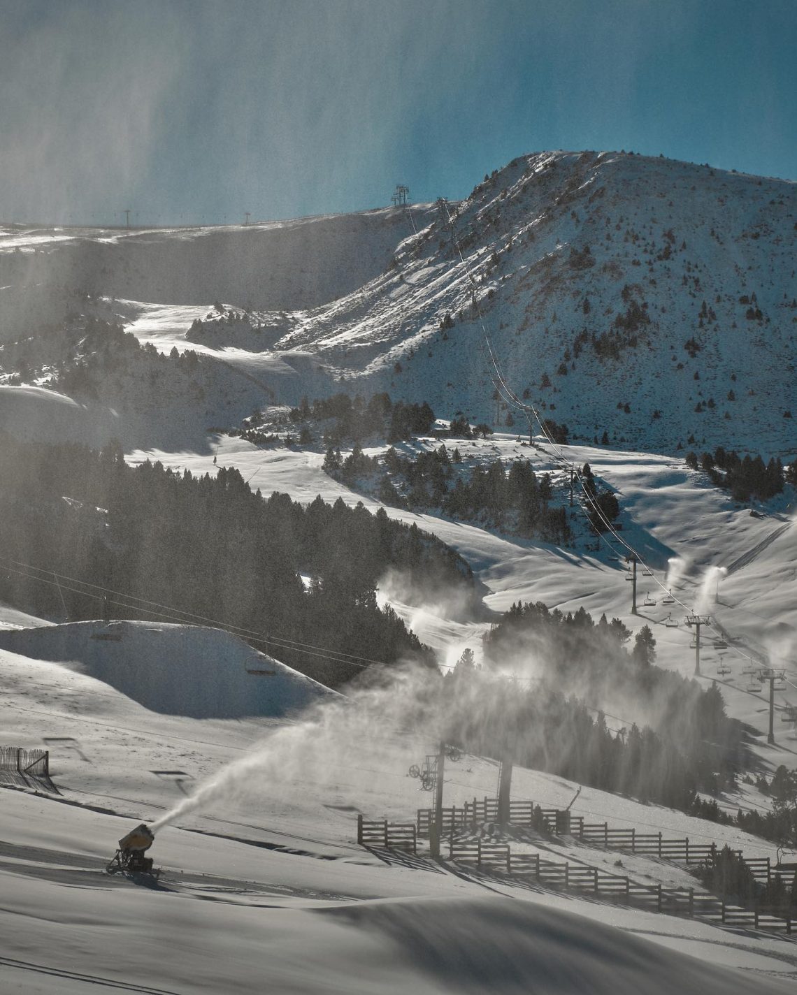
SPAIN / ANDORRA FORECAST
After a sunny few days, it’s getting cloudier and there’s more light to moderate snowfall forecast for the latter half of this week. Temperatures stay low in the mountain (below freezing), and up to +5C in the valleys in the afternoons.
BULGARIA / ROMANIA REPORT
Snowfall has been reported down to base levels at Bulgarian ski centres and the start of the 22-23 season here is now only a week or so away. Temperatures have remained around freezing or a few degrees below for much of the last week and snow-making guns have been fired up across the region. Some smaller centres in the Romanian Carpathian mountains are reported to have opened a few runs.
BULGARIA / ROMANIA FORECAST
Largely dry and increasingly sunny over the next few days with temperatures as low as -10C overnight in the mountains, so good for snow-making, but getting up to +8C in valleys in the afternoons.
CZECH REPUBLIC / SLOVAKIA REPORT
A number of ski areas in the Czech and Slovak Republics got the season started there at the weekend, including several of the larger operators. In fact, the biggest in the region, Jasna, opened its first terrain for 22-23, with the best conditions at about 1500m. There’s been some November snowfall but the past week has been largely dry and cloudy, but with temperatures in the +2 to -5C range, so great for further snow-making.
CZECH REPUBLIC / SLOVAKIA FORECAST
Staying cold, a few degrees on either side of freezing. But fairly dry for the rest of this week. Sunny spells develop from the thick cloud cover.
NORTH AMERICA INTRO
The ski season continues to build in North America and, so far, it’s looking more promising than this time a year ago when the 21-22 season start stalled with dry, warm weather destroying early gains and leaving things dry until huge snowfalls at the end of December.
It’s been another big week in western North America with more big snowfalls in the Rockies, then a series of big snowstorms hitting the west and also unusually heavy snowfall for the midwest. The conditions, which included strong winds at times, led to the first avalanche warnings of the season across at least four states. Only the east coast is lagging a little so far with warmer temperatures at times, more than centres would like, meaning its limited terrain open and thin cover there.
Most resorts are open for the season now, having targeted Thanksgiving a week ago and, in the west at least, aided by some of the best November snow conditions of the past decade after repeated snowfalls. Resorts in Alberta and BC in Canada and south of the border in Utah, Colorado, Montana and Wyoming, among other states in the area, have been reporting deep pow to start December. Meanwhile, Mt Baker in the Pacific northwest corner of the continent has taken up its traditional position of having the deepest snow in North America with almost six feet lying already on opening day.
ROCKIES REPORT
It’s been a good week in the Rockies with more heavy snowfall further boosting bases, a much better picture than the dry December of a year ago. Temperatures have also been low, getting down to single figures Fahrenheit with highs around freezing. There have been strong winds at times and the US National Weather Service and Forest Service issued avalanche danger warnings for Colorado, Idaho and Montana at the weekend. Crested Butte posted 13” (33cm) of snowfall in 24 hours in the middle of last week. Resorts have been expanding their open terrain with Winter Park (4/19” / 10/46 cm) adding its High Lonesome lift to access HiLo Trail, Hobo Alley, Lonesome Whistle, Switchyard, Whistlestop and Village Way with other runs around the mountains also opening. But there’s been plenty of snow and more terrain opening across the region. Big Sky Resort (22/32”/ 55/79cm), in Montana, is currently posting the most terrain open in North America (about half of its runs), which at capacity is the third biggest skiable area on the continent. The biggest in the US, Park City (12/43” / 30/106cm ), is just slightly behind with about two-fifths of its slightly larger area open so far. It’s not all been plain sailing though, some areas have been closed by gales at some times during the week.
ROCKIES FORECAST
Some very low temperatures again for the remainder of the week, as low as 25 degrees below freezing on high slopes. Some snow showers are forecast but more dry, sunny weather for the next few days.
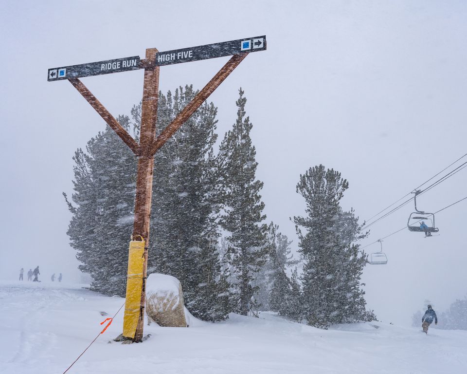
USA WEST REPORT
Multiple storms have hit the US West Coast in the past week bringing several feet (60cm) of snowfall to some areas, but also gales at times which have, among other things, impacted power supplies and rain at lower elevations. 100mph winds were also reported at times. As a result, the recently opened-for-the-season Mt. Baker (53/70″ / 134/175cm) in Washington State and Mt. Hood Meadows (48/63″ / 119/157cm) have jumped ahead of ski areas in the Rockies that had been holding top spot through November, for the deepest snowpack in North America. In terms of terrain open though, it’s a look down the coast to Mammoth (25/57″ / 63/142cm) for the most in the region, with about 80% of terrain open there already. It has fallen a little behind resorts in the Rockies, having held the top spot through November on that measure, as they have opened more of their larger ski areas. California also got dumped on big time by multiple storms and was another state that saw official avalanche danger warning advice issued by public authorities.
USA WEST FORECAST
After the heavy snowfalls there’s some dry and sunny weather in the forecast but staying cold, mostly below freezing. There’s a likelihood of fresh snow storms moving in through the weekend.
MIDWEST REPORT
The best conditions of the season so far rolled into the Midwest in the latter half of last week with many areas reporting a foot of fresh snowfall. The region is known for its low temperatures and snow-making so deep fresh powder was a big bonus for local skiers and boarders. However, ski centres noted that they had only recently had temperatures in the 50s so could only open limited terrain in some cases.
MIDWEST FORECAST
Cold weather will continue to dominate but predominantly dry for the next few days. Great snow-making conditions.
USA EAST REPORT
Most ski areas in the eastern US are now open for the ski season, but almost all are relying on snow-making so far with not a lot of natural snowfall. There have also been temperature spikes from the overnight below-freezing lows which have brought rain to some, although it is now looking more promising. Bases remain thin but the largest area, Killington (12/12” / 30/30cm) in Vermont, has now overtaken Sunday River (5/15cm / 2/6”) in Maine to offer the most terrain open. Although it’s still not yet a lot, about a dozen miles of runs compared to 10 miles at Sunday River.
USA EAST FORECAST
Unfortunately, the current warm spell looks set to continue with temperatures in the 40s and even low 50s meaning more possible rain showers. Some overnight lows below freezing, however.
CANADA WEST REPORT
It’s been another good week in Western Canada with the snow dumping down and resorts like Big White (40/110cm / 16/44″) reporting snorkel-deep powder going into the weekend. Its neighbour, Silver Star (80/130cm / 32/52″), has the deepest snow in Canada at present. Most of the region’s famous ski areas are now open with Fernie one of the latest to do so at the weekend. Sun Peaks (53/74cm / 21/30”) is reporting the most terrain open in the country so far, quite a lot more than North America’s largest ski area, Whistler Blackcomb (0/115cm / 0/46”), has open so far.
CANADA WEST FORECAST
It should stay cold across the region, with many resorts not seeing temperatures rise above freezing and -10 to -20C the more usual temperature. Mostly dry but with snow showers moving through.
CANADA EAST REPORT
Most of Eastern Canada’s ski areas are now open with many opening at the weekend. Snow cover remains marginal and terrain open is limited so far, with resorts focused on building additional runs to open nearer Christmas. Tremblant (10/52cm / 4/21”) has the most reported so far with 11km (7 miles) open. Temperature fluctuations continue to plague the area with snowfall some days and temperatures double-digits below freezing, but equally still rain showers at times as temps have risen to well into positive numbers.
CANADA EAST FORECAST
Rather borderline conditions in terms of temperatures, unfortunately, with possible rain rather than snow for some with daytime highs in the high single figures. But it is finely balanced so some, hopefully most, could get snow.
Asia
JAPAN REPORT
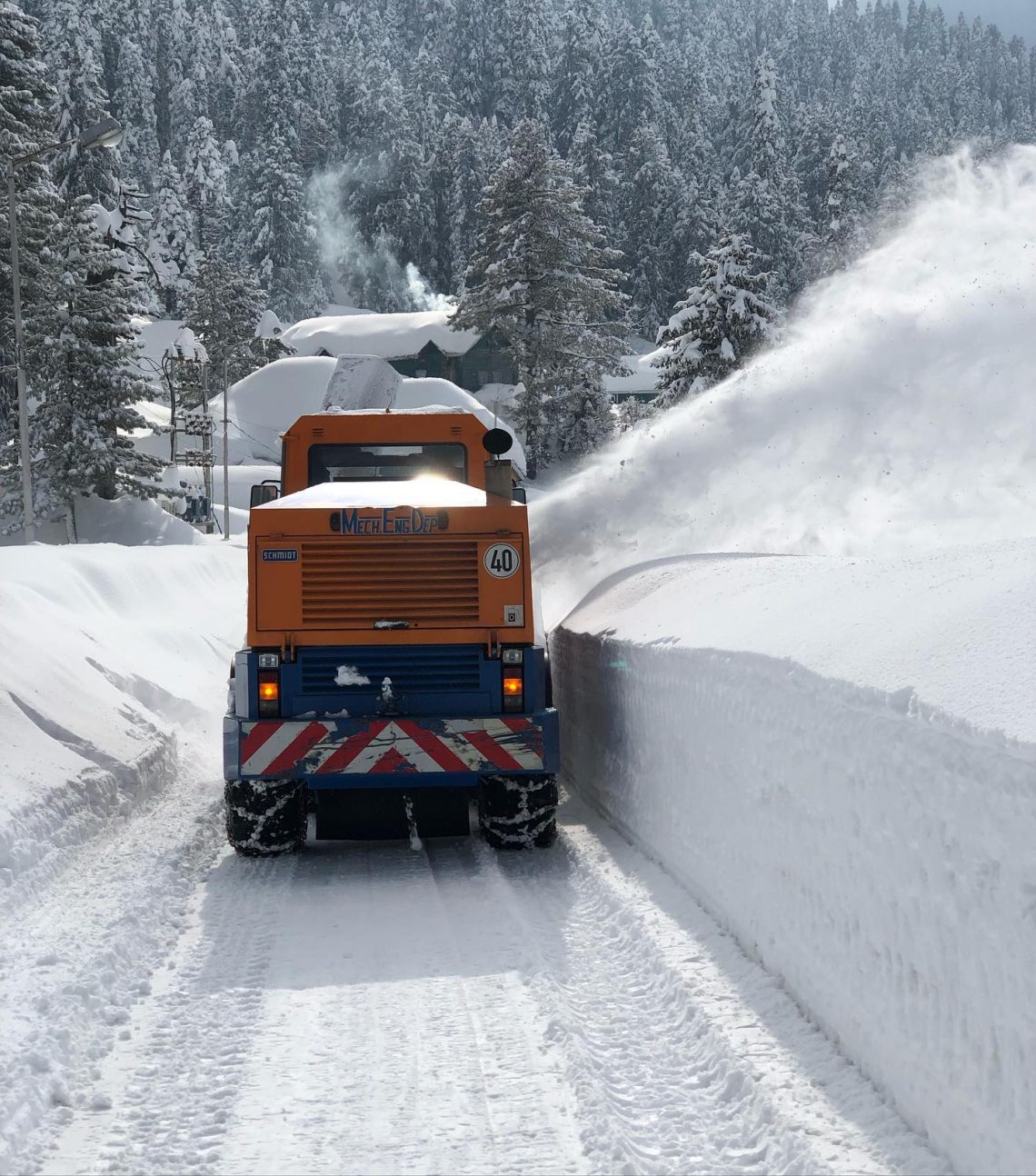
Japanese ski areas are facing the same opening issues as ski areas in Europe with conditions a little too warm in November for some centres that had planned to open last weekend to do so. Appi was one of many ski areas deciding they would delay opening to the coming weekend, although some said they weren’t sure when they’d open yet. But it has been cold and snowing since the middle of last week so it is a fast-improving picture. Niseko, Niseko Village and Annupuri have opened very limited terrain with a thin base at the weekend and just their lower chairlifts spinning, Hirafu and Hanazono have postponed their opening date for now. Elsewhere in Asia, there have been heavy snowfalls in the Indian Himalayas, with Gulmarg buried in snow.
JAPAN FORECAST
Although we are running a little behind schedule for snow deliveries in Japan they do seem to be getting back on target with low temperatures continuing and snow still falling. So, hopefully, those that delayed opening will be opening soon.
You might also like...

A Guide to the Perfect Skiing Stance in All Conditions with Maison Sport

Huge Snowstorm Hitting Western North America

World Snow Roundup #231
