WORLD SNOW ROUNDUP #265
Issued: 9th November 2022
By Patrick “Snowhunter” Thorne
World Overview
It’s been a great week for snowfall in Europe and North America with more snow reported in Japan too and even in Australia. The snowfall has brought optimism to European skiers ahead of the main season but little change so far to the number of centres already open. In Canada and the US, the snowfall has resulted in nearly a dozen ski areas opening for winter 22-23.
The start of the 22-23 season continues to gather pace in North America with Canada’s season kicking off 24 hours early thanks to the cold, snowy weather there and more ski areas opening in the US, which now has the most centres open of any country in the world. There’s been more snowfall across the west including the first significant snowfalls in California. Utah’s first centre has opened for the season too.
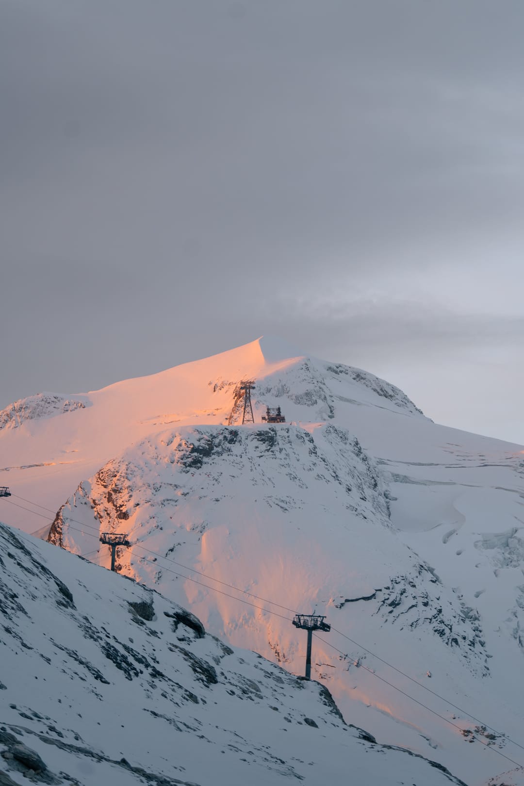
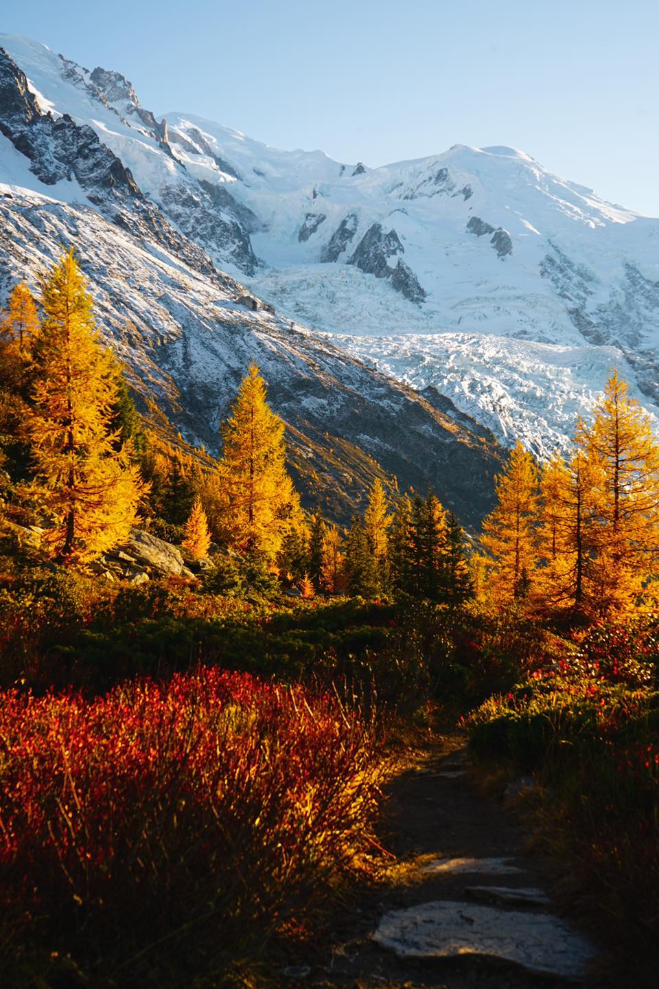
In Europe, it’s a much-improved picture too with plenty of snowfall across the Alps, Dolomites and Pyrenees through the weekend. For many, the first falls down to the valley floor of the autumn so far and there’s been very good news with the first non-glacier ski areas planning to open for the season in less than a fortnight’s time.
Further north, ski areas in Scotland reported their first proper coverings of snow up high after an unusually warm, end to October switched to more normal autumnal temperatures for the start of November.
In Japan, there’s been more snowfall on higher slopes to turn peaks white above the golden autumnal valleys. A second small centre has opened using snow-making. This is the Okinawa Prince Hotel, which has a short run and small terrain park open.
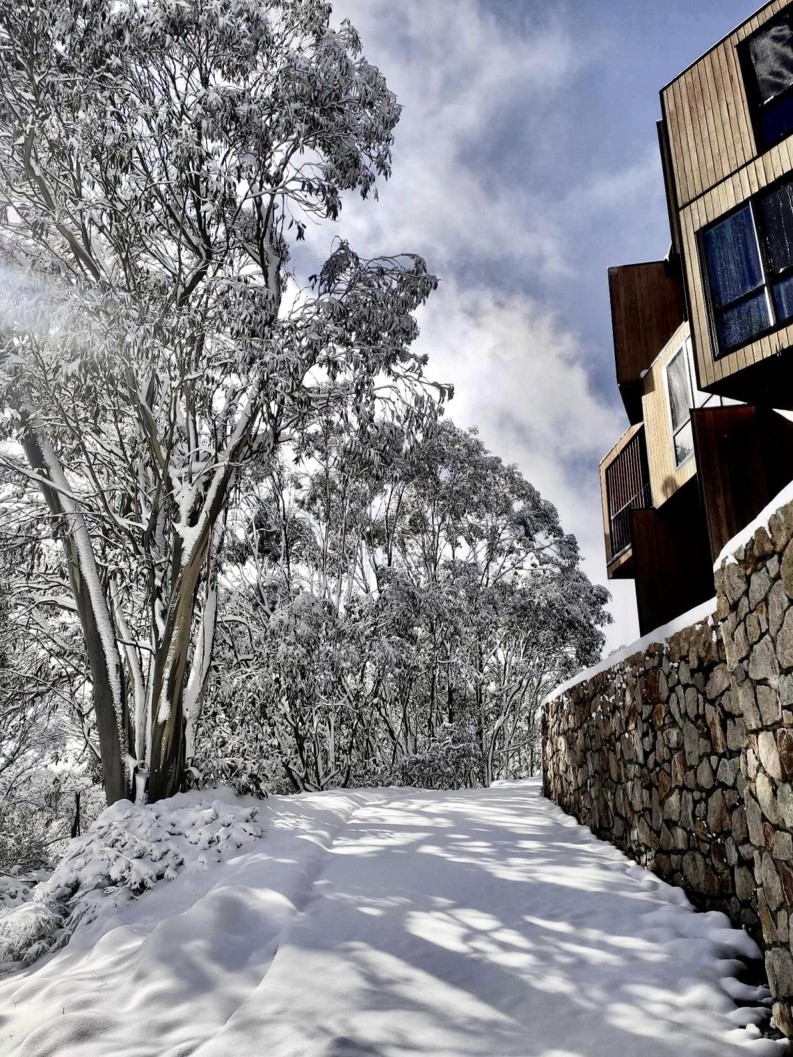
The 2022 season is now over in the Southern Hemisphere. But the snow that began falling in Australia the weekend before last, with a month to go until summertime, continued through last week and some centres were posting pictures of snow lying more than 30cm (a foot) deep by Wednesday.
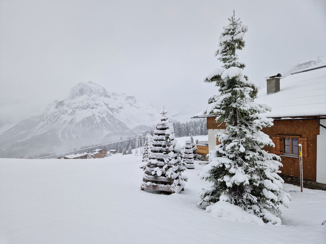
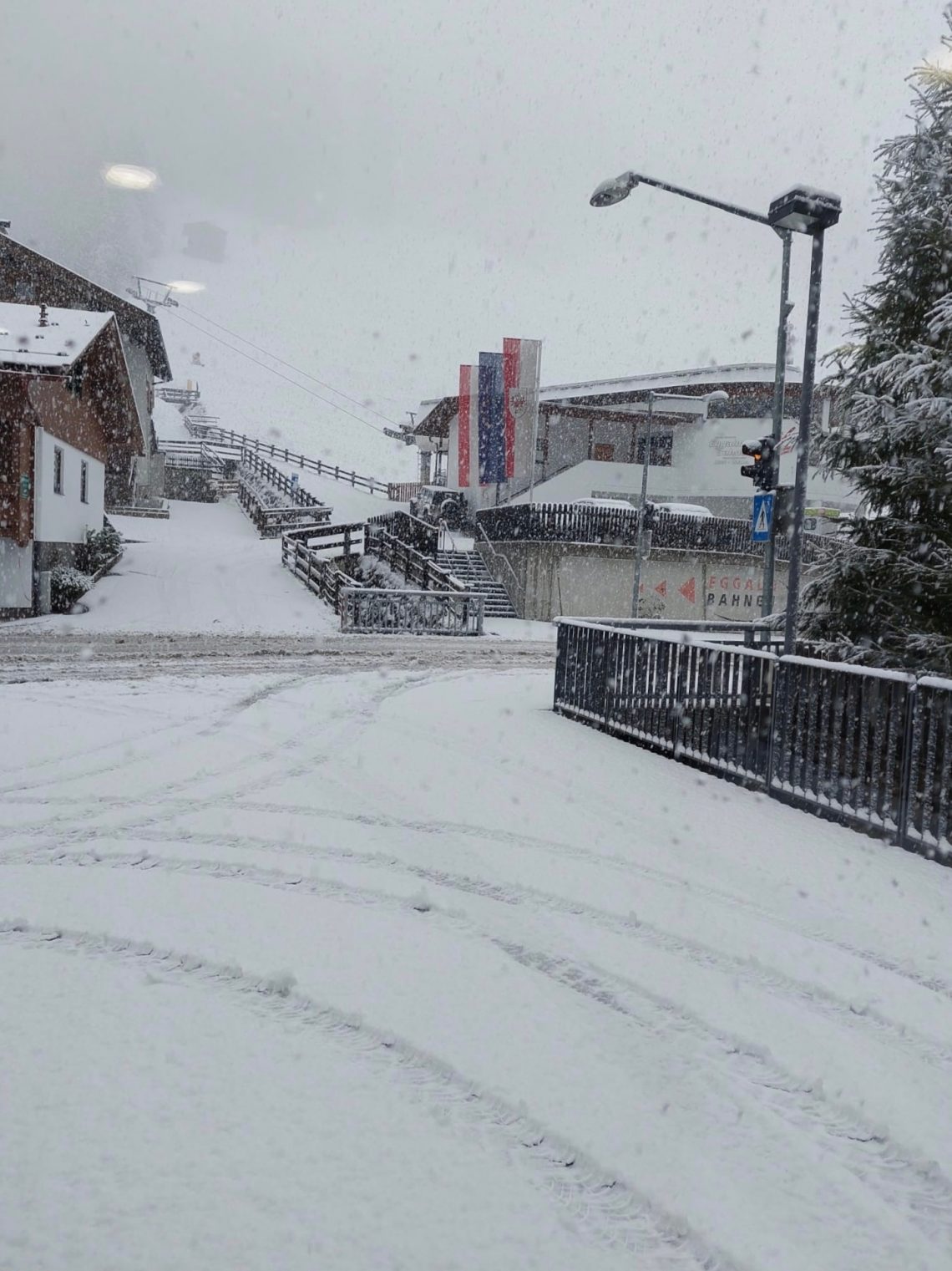
The long spell of warm and dry weather that has dominated Europe for around eight months with few let ups, finally gave way to a weekend of cold and snowy weather that brought more than a foot (30cm) of snow to higher slopes in the Alps, Dolomites and Pyrenees and the first snowfall down to valley floors in most areas. The snowfall was heaviest through the first part of the weekend and has been replaced by a mixture of sunshine and cloud. But the most significant aftermath is much colder temperatures allowing more snow-making systems to fire up ahead of the ski season start. There’s not a huge change yet in terms of areas open. But two more Swiss areas have opened at weekends and more resorts are lined up to open next weekend, which should take us to 20+ areas open.
AUSTRIA REPORT
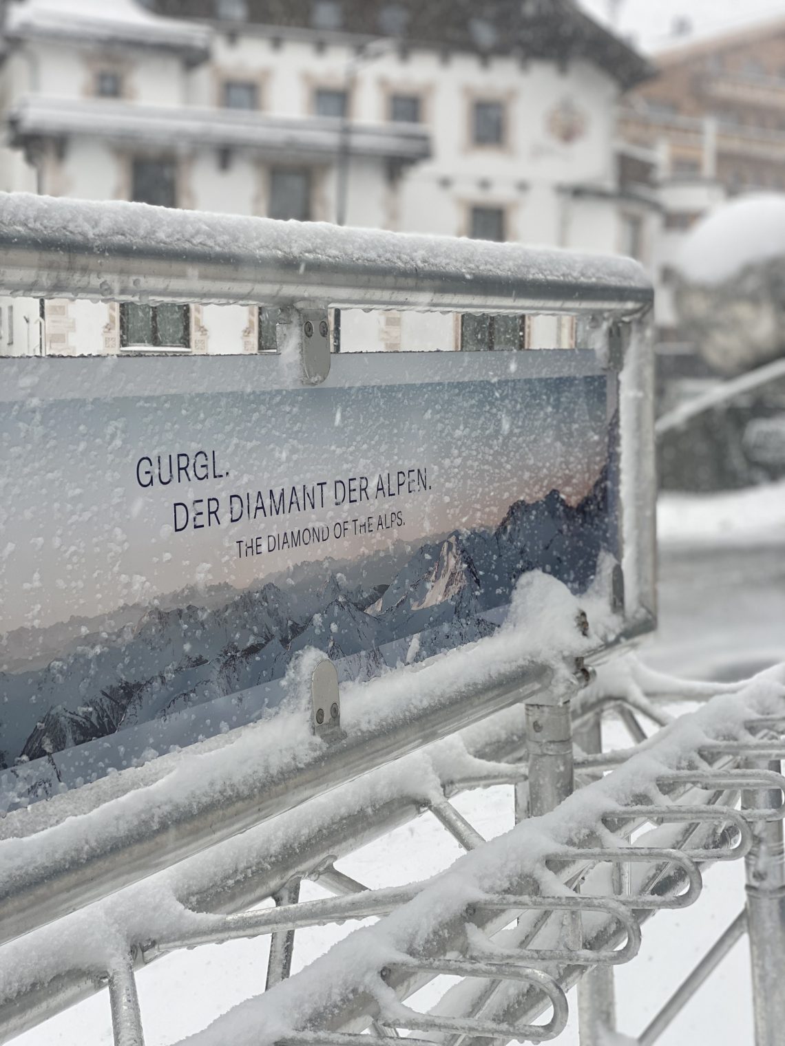
Lots of fresh snowfall, heaviest for most on Friday and Saturday was greeted with delight across Austria, with the snowfall down to village level in most areas. The main season is due to kick off at the end of next week at snowsure centres like Obergurgl and Obertauern. So the snowfall was particularly welcome there and the low temperatures now hovering around freezing to low levels after being in the teens Celsius for most of the autumn so far have allowed snow-making systems to kick off. Austria still has the most areas open in Europe although the USA has overtaken it on the global measure. It’s the six glacier centres open still with Hintertux (0/65cm / 0/26”) still posting the most terrain open in the world to date with 435km (22 miles) of slopes skiable. Solden (0/108cm / 0/43”) is the first area to post more than a metre (40”) base in the country so far this autumn and only has a fewer number of slopes open. The Stubai (5/15cm / 2/6”) has struggled for snow cover but has now doubled its open terrain to more than 16kkm (10 miles). You can also currently ski at the Kitzsteinhorn (0/55cm / 0/22”), Kaunertal (30/50cm / 12/20”) and Pitztal (5/60cm / 2/24”) glaciers with the Dachstein open for ski-tourers and cross-country skiing. The Molltal glacier which would normally have been open since May, but hasn’t been yet, says it will finally open this Thursday 10th thanks to the fresh snowfall. But less good news from Lech-Zurs, which is the latest area to see World Cup racing planned there this coming weekend cancelled due to the too warm an autumn overall to date.
AUSTRIA FORECAST
After the boost of the weekend snowfall we’re back to drier, sunnier weather but it is colder, staying close to freezing on higher slopes with highs in the low teens down in the lower valleys in the afternoons, but more often we’re in single figures.
SWITZERLAND REPORT
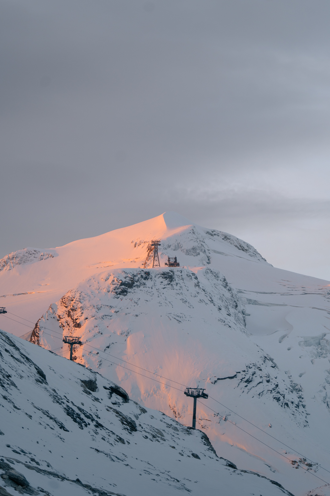
Swiss ski centres have also benefited from the fresh snowfall with heavy snow on Friday and Saturday down to valley level. Murren (0/30cm) is the latest Swiss ski area to open, initially at weekends only, with a few miles of high-altitude runs available served via the Birg station and the Riggli chairlift. Otherwise, it’s still the same three glacier areas open, Zermatt (0/110cm / 0/44″) lamenting its second missed weekend of planned World Cup speed skiing season action on the new cross-border course to Cervinia. Whether the weekend snowfall would have meant enough snow cover, or led to races being cancelled due to the weather, snowfall and low visibility rather than too little snow and too warm, can only be speculated upon. In any case, it has one of the five largest areas open in the world so far, 25km (16 miles) of glacier slopes. Saas Fee (0/140cm / 0/56”) and Engelberg (0/30cm / 0/12”) remain open and the Diavolezza Glacier near St Moritz appears to be initially opening at weekends and midweek. More centres are expected to open imminently though, potentially in the next week. Glacier 3000, near Gstaad, has said they’d open this coming weekend, Andermatt, Crans Montana and Davos are among others that may opt to open high-altitude slopes at short notice. Andermatt though has announced it probably won’t be opening for at least another fortnight and three weeks later than planned due to an unfavourable forecast.
SWITZERLAND FORECAST
Drier but still fairly cold through the coming week with the chance of more snowfall (currently looks like 5-10cm/2-4″ on average but could be more, or less) before the weekend. Temperatures remain below freezing above 2000m, and high single-figures to low teens down in valleys in the afternoon but dropping back down to around freezing overnight even at low elevations.
FRANCE REPORT
Fresh snowfall has brought hope to French ski areas where we still await the first centre to open for 22-23, the first time nowhere has been open in France in October for more than 50 years. Tignes, which may still be the first to open, although is yet to name an opening day, said it had officially switched to ‘winter mode’ and reported more than a foot of snowfall on the Grande Motte glacier which would usually be open for the season by now. Currently, the first that’s named an opening date is Val Thorens, scheduled to open the weekend after next. High mountain passes across France were closed through the weekend and healthy snowfall was reported in the French Pyrenees too.
FRANCE FORECAST
After the weekend snowfall it’s been predominantly dry and sunny again but a front moving through over the next few days should bring a top-up of snowfall up high. Generally, temperatures are lower, around freezing on higher slopes and cold enough for overnight snow-making at some, with highs in the low teens in valleys.
ITALY REPORT
There was snowfall in Italy too at the weekend with snowfall to low levels, including across the Dolomites, leading to lots of exciting pictures and video posting by resorts on social media. Passo Stelvio ended its six-month summer ski season, albeit having been closed for two months during the hottest part of the summer in the middle of it. Although skiers have been crossing the border from Switzerland to Italy on the unused World Cup race course and you can still access Zermatt’s glacier area from Cervinia, it means there’s really only one Italian ski area open at present, Val Senales (0/40cm / 0/16”), with about 8km (five miles) of runs available.
ITALY REPORT
It has been mostly sunny but staying cold since the weekend snowfall and that will continue to be the case for the next few days. A front moving through later in the week is expected to bring light to moderate snowfall to higher slopes.
SCANDINAVIA REPORT
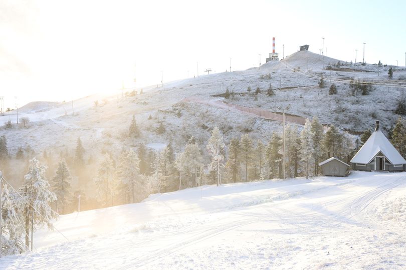
It has continued to feel more wintery in Scandinavia. No more so than up in Lapland where the fells have now turned white with natural snowfall and there’s been snow-making too on the original slopes laid out with snow-farmed snow saved over summer from last season at Levi (10/40cm / 4/16”) and Ruka (15/50cm / 6/20”). The latter opened the Saarua 16 Rinne slope at the weekend, thanks to the fresh natural and machine-made snow. But lots of ski areas across Norway and Sweden too have seen some of their first full slope coverings of white this autumn, with Norway’s leading area of Hemsedal among those celebrating. However, there’s still not much open, just the Galdhøpiggen summer ski area (0/50cm / 0/20”) in Norway, in the final weeks of its 2022 opening run, and the recently opened Kåbdalis (0/60cm / 0/242) centre in Sweden, operating thanks to snow-farming like the Lapland ski areas, but now with fresh machine-made snow as well as natural snowfall on top.
SCANDINAVIA FORECAST
It’s looking promising for more snowfall, particularly in the northern part of the region, through the next few days, with temperatures staying close to freezing or a little below. Looking drier from around Thursday but staying cold and of course, daylight hours are fast decreasing now.
NORTH AMERICA INTRO
The two main areas of excitement over the past week were, arguably, first the arrival of significant snowfall on California’s mountains for the first time this season, perfectly timed it seems for the first areas opening later this week, all being well. There was also lots more snowfall across a wide area including Colorado and Utah. Then further north there’s been more snowfall in Western Canada which led to resorts opening early and kicking off Canada’s 22-23 season there. More ski areas have opened in Colorado and the first for 22-23 in Utah, so we’re up to double-figures for the number of areas open in North America and the US has overtaken Austria as the country with the most centres open in the world right now.
USA REPORT
There’s been a lot of snowfall across the ski slopes of resorts in the Western US with many areas reporting multiple falls of up to a foot (30cm) each time. In Colorado, Wolf Creek (32/32” / 81/81cm) and Loveland ski areas (12/18” / 30/46cm) opened at the end of last week taking the number of centres open there to five already, with many more set to join them over the next few weekends. Arapahoe Basin (6/18” / 15/45cm), Keystone (0/18” / 0/45cm) and Winter Park (2/18” / 5/45cm) have already opened with Breckenridge and Vail among those set to join the party this Friday, all being well; for Vail it’s their 60th season. Breckenridge has actually announced it will open two days early. Further north, Brian Head was the first area to open in Utah at the end of last week, with what was reported to be the state’s 4th earliest ever opening. Ski areas there have reported up to three feet (90cm) of snowfall so far this fall. In California, Mammoth opened almost a week earlier than planned, on Saturday, and other areas, especially up around Tahoe, are eying imminent openings. Mt Rose looks like it will be the first, this coming weekend. Trollhaugen, in Wisconsin, is believed to be still open but warmer temperatures have plagued the east and delayed the October opening plans of resorts like Killington’s Vermont. However, it is ready to go as soon as conditions allow.
USA FORECAST
It’s looking drier and sunnier in the west for the coming week but more snowfall is forecast from a front moving across midweek. Temperatures well below freezing overnight at altitude so good for snow-making, and 5-10 degrees above freezing in the daytime down low. In the east, the prolonged period of warm weather should start to cool midweek and be cold enough for overnight snow-making from around Wednesday.
CANADA REPORT
Canada’s 22-23 ski season has got underway and it all happened a day earlier than we were expecting this time last week. Sunshine (10/68cm / 4/27”), near Banff, announced it was going to open a week earlier than planned, on 3rd November, last Thursday, thanks to all the snowfall there. It opened the Strawberry lift to access groomed terrain and a small fun park. Lake Louise (33/40cm / 13/16”), due to stage the first FIS Alpine Skiing World Cup Downhill races of 22-23 later this month, had planned to open on Friday 4th anyway and became the first area to actually open on the planned date. “There’s been 42cm (17”) of fresh snow in the last seven days. This new snow, along with Lake Louise Ski Resort’s enhanced state-of-the-art snow=making system, has set a generous foundation for the season ahead and a desirable base for upcoming events, like the Lake Louise Audi FIS Ski World Cup, happening in just three weeks,” a statement from the resort says. Mt Norquay and Nakiska are due to open soon, as is Marmot Basin further north near Jasper. Marmot Basin is aiming for this coming Thursday 10th November. It reported more than 90cm (three feet) of snowfall so far this pre-season. Further west BC ski areas have been reporting lots of snowfall too, with Cypress Mountain on the Pacific Coast noting a 25cm (10”) accumulation on Friday alone. Over in the east, more snowfall and snow-making guns were reported operating on high slopes in Quebec.
CANADA FORECAST
It’s looking a little drier over the coming week but still very cold in the west, with temperatures of between -10 and -20C on Albertan ski slopes already.
You might also like...

A Guide to the Perfect Skiing Stance in All Conditions with Maison Sport

Huge Snowstorm Hitting Western North America

World Snow Roundup #231
