WORLD SNOW ROUNDUP #256
Issued: 07 September 2022
By Patrick “Snowhunter” Thorne
World Overview
We’re moving further into autumn in the Northern Hemisphere (or entering the final weeks of summer if you prefer the astronomical measure of the seasons) and there is certainly more of an autumnal feel in many of the mountain ranges of the north if not yet many real signs of winter approaching. In Europe, its definitely cooler in the high Alps and up in Scandinavia but we are still yet to see any significant snowfalls up on glaciers and it remains to be seen how many of those that usually open for early autumn skiing will be able to open on schedule over the next month or two. Similarly in the Southern Hemisphere spring continues to take hold with temperatures gradually rising. More smaller centres have announced their season ends and ski areas in New Zealand have had a particularly challenging week again. But many of the big centres in the Andes and Australia continue to cruise through September with everything open and good spring skiing conditions.
The season has now ended in southern Africa meaning we are down to ski centres only open on three continents as we start spring/autumn. Down from six continents as we started summer/winter three months ago. Afriski in Lesotho closed 48 hours earlier than it expected to, at the end of the ski day on August 29th rather than September 1st as expected, saying that the daytime warmth was hotter than they’d expected so they had to close suddenly with a rapidly disappearing snowpack.
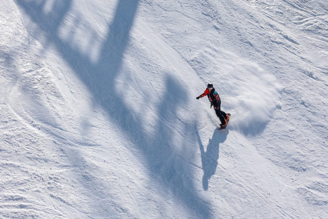
Meteorological springtime continues to bring warmer temperatures across Southern Hemisphere ski slopes, although there have been some light snowfalls reported for Australian and New Zealand ski areas. Aussie resorts continue to have their seasons in full swing with all areas fully open. That’s also the case for most resorts in the Andes although for a good chunk of those we’re now into the final fortnight of the season. New Zealand’s ski centres have had another challenging week though with more warm storm fronts bringing gales and rain although it has since cooled and calmed down to start this week.
AUSTRALIA REPORT
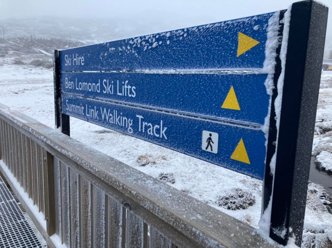
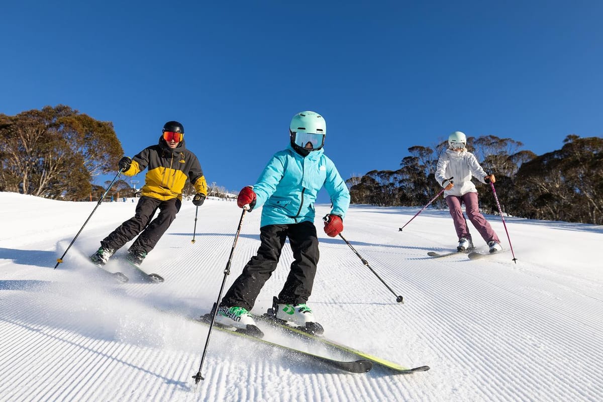
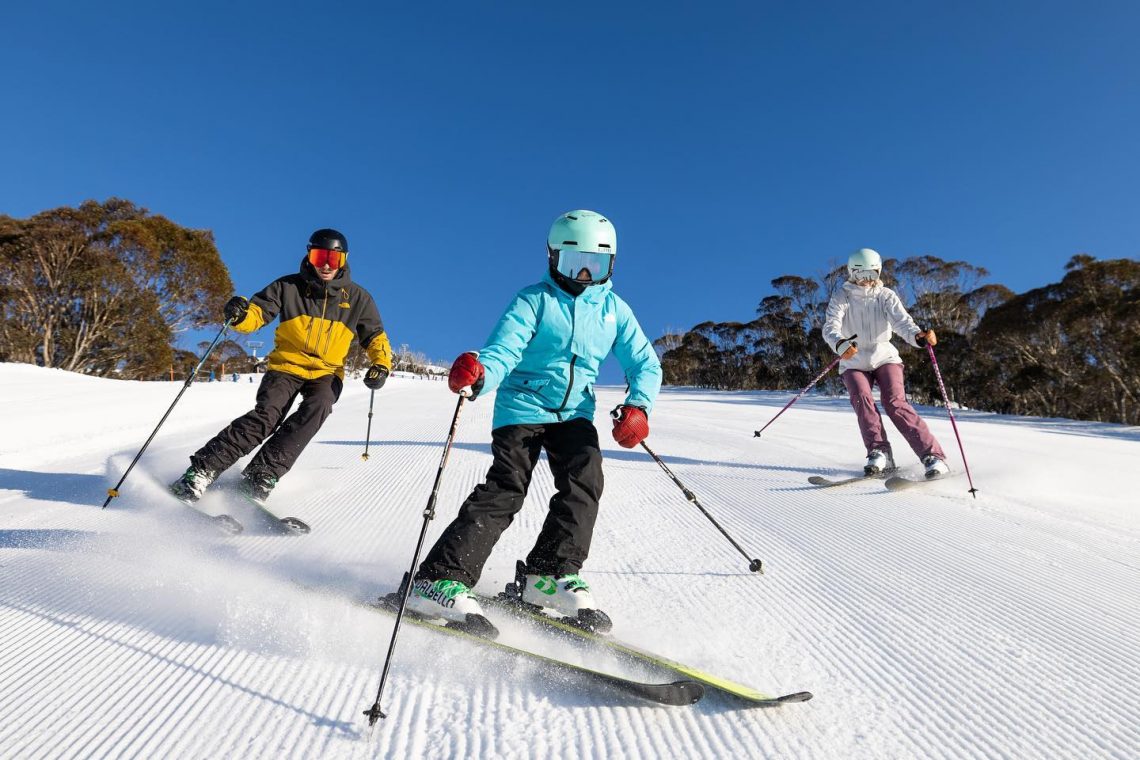
A fairly dry week across Australia with temperatures becoming more springlike and plenty of sunshine. Most of the country’s bigger centres have a month of their 2022 seasons left to run and enough snow lying to see them through. Overnight lows have been close to freezing, daytime highs though getting into the higher single figures Celsius in the afternoons. New South Wales ski areas Thredbo (85/203cm / 34/81”) and Perisher (90/204cm / 36/82”) are the first in the country to pass the two-metre (80”) snow depth mark this season, raising hopes that the ski runs might even be able to stay open later into October. Both have all their terrain open, which for Perisher is the country’s biggest ski domain with 65km (41 miles) of runs served by almost 50 lifts. There’s been some fresh snowfall in Tasmania too with Ben Lomond reporting great conditions there and the hope it’ll be able to keep operating through September.
AUSTRALIA FORECAST
A mixture of sunshine and showers in the forecast, with those showers on the border of rain/snowfall depending on whether it stays cold enough. Overnight lows should continue to drop below freezing in most Aussie areas, most days, for the coming week but we may also see daytime highs in the high single figures impacting snow cover. Luckily though, it remains pretty deep and the overnight freezes will certainly help.
NEW ZEALAND REPORT
New Zealand’s weather continues to be quite the roller coaster with still more wild weather over the last seven days seeing periods of very strong gale force winds and rain closing some centres for periods. Equally, there have been some beautiful blue sky days with fairly gentle winds, temperatures back below freezing and even a few centimetres (an inch) of fresh snowfall reported to start this week, although some areas saw more rainfall first. Of the big named New Zealand ski areas Treble Cone (80/170cm / 32/68″), which has been warning of slab avalanche danger for several weeks now, was one of those temporarily closed by rain at the end of last week. But it reopened as the weather improved, although still only has about a third of the terrain accessible. Mt Hutt (99/153cm / 40/61″) was one of those reporting great conditions and a little fresh snow to start this week and has about 90% of its terrain open. Conditions were better still on Tuesday with another 19cm (8”) of snowfall reported overnight. There was some good news for the start of the week at last for the North Island too, which has battled warm temperatures all season leaving the country’s biggest resort of Mt Ruapehu struggling to open much terrain at its Whakapapa (10/53cm / 4/21”) base, or to open anything at all at Turoa (0/20cm / 0/8”). However, a combination of moisture from the north and cold air from the south has brought some snowy relief for the region, which is hoping for further improvements in cover over the next 4-6 weeks in the hope of keeping going through to late October or even early November after everywhere else in the Southern Hemisphere has ended their 2022 seasons. Rainbow is the latest New Zealand club field to announce it has been forced to close earlier than hoped for the season.
NEW ZEALAND FORECAST
We do appear to finally have some more settled weather on the horizon, with cooler temperatures than there have been and less strong winds too. Temperatures will yo-yo a bit though with overnight lows down as low as -8C at times, daytime highs mostly below +5 but getting up to +9 for some. The next front is currently expected to move in early next week.
ARGENTINA REPORT
It has been a sunny week with the temperature climbing across the Argentinian Andes. Overnight lows have been around freezing but daytime highs have reached around the mid to high teens Celsius, impacting the snowpack. So, at best freeze-thaw at worst thaw-thaw. Catedral (30/120cm / 12/48”) continues to report the most terrain open of anyone ski centre in the world with around 90km (57 miles) of slopes open. Caviahue (250/300cm / 100/120”) is reporting the deepest snowpack of any resort in the world at present.
ARGENTINA FORECAST
There’s snowfall in the forecast over the next few days for many of Argentina’s ski areas, only Cerro Castor down south is likely to miss it. Temperatures will struggle to reach freezing even in the daytime with lows down to -10C overnight, so a return to winter. Up to 30cm (a foot) of snowfall is forecast by the end of the week with skies clearing everywhere at the weekend.
CHILE REPORT
It has been another largely sunny week for Chile after the last big snowfall in the latter half of last month. Most ski areas will be closed here by the final weekend of the month and several smaller centres have already ended their 2022 seasons. The bigger resorts continue to have pretty much all their terrain open though and Nevados de Chillán (50/250 cm / 20/100”) still has, just about, the deepest snowpack reported anywhere in the world. El Colorado/Farellones (60 / 100 cm / 24/40”) has the most terrain open in the country, 50km (31 miles) of slopes. Both are aiming to stay open until Sunday 25th September.
CHILE FORECAST
There’s something of a return to winter expected over the next few days, at least for more southerly areas, with the first significant snowfall for a few weeks likely over the next few days. 20-40cm accumulations are possible and temperatures could drop back down to well below freezing overnight and not much above in the daytime. Not so much snowfall, if any, in the north of the country and in any case skies clearing everywhere with sunnier, warmer weather from the weekend.
We continue with the historic low one ski centre open to the public in Europe, as has now been the case for a month. We are now though rapidly approaching the period when one or more glacier ski area opens each weekend in the Alps and up in Scandinavia through mid-September to mid-November, after which the 22-23 season should really start to take off. Whether these areas open on schedule remains to be seen but many have farmed snow from last winter and/or have all-weather snowmaking systems which should help them open if there’s not an abundance of natural snowfall up high imminently. There are some promising signs, but there would typically have already been a few decent dumps up high in Europe in August had this been a ‘typical’ summer.
Looking a little further ahead to ski areas announcing their opening plans over the coming few months, Les 2 Alpes has clarified that it plans to open the weekend of 15 to 16 October to all skiers and boarders, then close to most except ski clubs and professionals only during the week from 17 to 21 October, before reopening to all for the following fortnight from 22 October to 6 November. This all, of course, depends on conditions getting much colder and snow falling in adequate quantities over the next six weeks.
ALPS REPORT
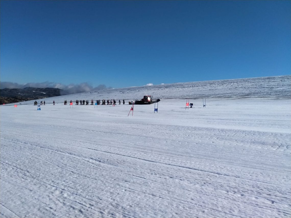
We remain in the same holding pattern that we have been in for more than a month now with the Hintertux Glacier (0/25cm / 0/10”) the only ski area open to the public in Europe with 6 km (3.5 miles) of its 60 km (37 miles) of slopes open. They continue to cling on to their thin base high on the glacier thanks to a snowmaking system which has allowed them to stay open when others like Italy’s Passo Stelvio and Switzerland’s formerly year-round slopes above Zermatt remain ‘on hold’ until better weather returns. Another area, Saas-Fee, has terrain open for team training and will also open to the wider public when conditions improve. How soon will that be? Well, alas, at the time of writing we are yet to see the high-altitude dumps which often arrive in August or early September and all areas, including the dozen or so with glaciers in the Alps that plan to start their 22-23 seasons with high altitude glacier skiing in the autumn, are hoping for a change there. The first of these is aiming to open the weekend after next so a big change, fast, would be good. The past week though has once again seen mostly sunny weather a little rain and temperatures above 3,000m above freeing most of the time with highs of +5 to +7C reported, lows a degree or two below freezing overnight.
ALPS FORECAST
There are positive signs for snowfall at last up high over the latter half of this week with a front forecast to move across the Alps and glacier temperatures in the -2 to +2C range. This is colder than it has been pretty much since last winter. So there are some grounds for hope.
SCANDINAVIA REPORT
Norway’s glacier areas have been reporting that although it has been another week of predominantly sunny weather, snow melting has “almost stopped” as temperatures cool, particularly overnight. The Fonna glacier closed to the public last month but has remained open, until last weekend, for teams booked to use the area, but it decided to end its season last Sunday due to a lack of demand. It’s believed Scandinavia’s highest slopes at Galdhopiggen (0/50cm / 0/20”) are still in use for team training though and like centres ‘on hold’ in the Alps to the south, it hopes to re-open to all as soon as conditions improve with fresh snowfall. It is due to stay open until early November so there is time. It’s also worth noting this week that a new dry ski slope has opened at the region’s largest multi-ski-area operator SkiStar’s Hammarbybacken ski hill in Stockholm. The year-round slope is one of Europe’s and the world’s longest at 470 metres and includes a beginner slope and a nursery area. It’s also now just a month until ski areas like Levi and Ruka, up in Finland, open for their 22-23 seasons thanks to snow farming.
SCANDINAVIA FORECAST
A predominantly dry and sunny forecast for the coming week but temperatures appear to be definitely cooling with highs of only +5C on higher ski slopes, and lows down to -4C overnight on glaciers.
NORTH AMERICA INTRO
Most parts of North America have had a fairly warm week and the main snow news focus has been the annual attempt to interpret The World Meteorological Organization’s predictions of a third successive (or ‘triple dip’ as its being called) La Niña winter. This means temperatures in surface waters in the Pacific should cool for the third successive year and be 1.2 degrees cooler than when the La Niña started. Typically, La Niña winters do generally bring above-average snowfall for much of the west and some interpret it for the wider world as well, but the last two La Niña winters have been below average for snowfall for many areas. A ‘triple dip’ has only happened three times in the past 70 years though and some on the more optimistic long-range weather forecasting says the last time temperatures dipped over one degree in Pacific surface waters it was a particularly snowy winter – 2010-11. So we can all cling to that hope. If so, best ignore others saying that’s just one scenario and climate change has taken any hope of predictability for El Nino/La Niña away.
NORTH AMERICA FORECAST
It has been warm and sunny even at altitude in recent days and that’s likely to continue for at least the coming week with overnight lows up high not dipping low enough for snow or frost and little or no precipitation forecast anyway. Loveland, in Colorado, continues to target the end of the month to start snowmaking assuming temperatures do dip by then and others in early October. For now, though the only skiing in North America remains indoors at Big Snow in New Jersey.
You might also like...

A Guide to the Perfect Skiing Stance in All Conditions with Maison Sport

Huge Snowstorm Hitting Western North America

World Snow Roundup #231
