WORLD SNOW ROUNDUP #233
Issued: 30 March 2022
By Patrick “Snowhunter” Thorne
European Roundup
North American Roundup
Asia Roundup
WORLD OVERVIEW
March is ending having been a mostly warm and sunny month for much of Europe, not ideal for snow conditions. The exception was down in the south of the continent which was colder and snowier although here too conditions are now getting more springlike. But the weather is finally changing in the Alps as we enter April with something much colder, snowier, and generally much more like winter coming later this week as we near the start of April. Springtime is of course making its presence felt in North America too although here the snow has kept falling in many parts of the continent. Elsewhere in the skiing world, there was snowfall on the ski slopes of Argentina at the end of last week, three months before the start of the 2022 season, but giving an early boost to excitement levels with the hope that this will be the first fairly normal winter since 2019, all being well.
EUROPE INTRODUCTION
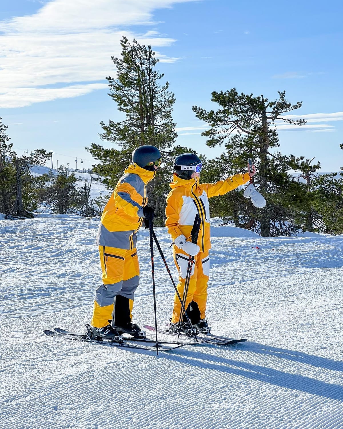
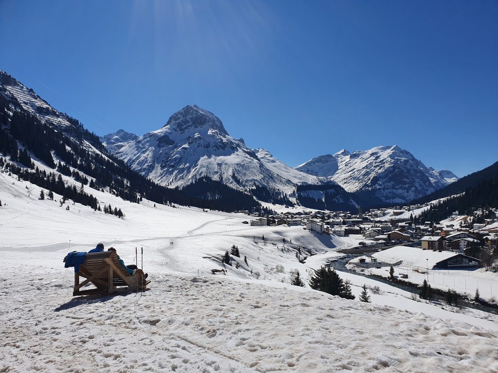
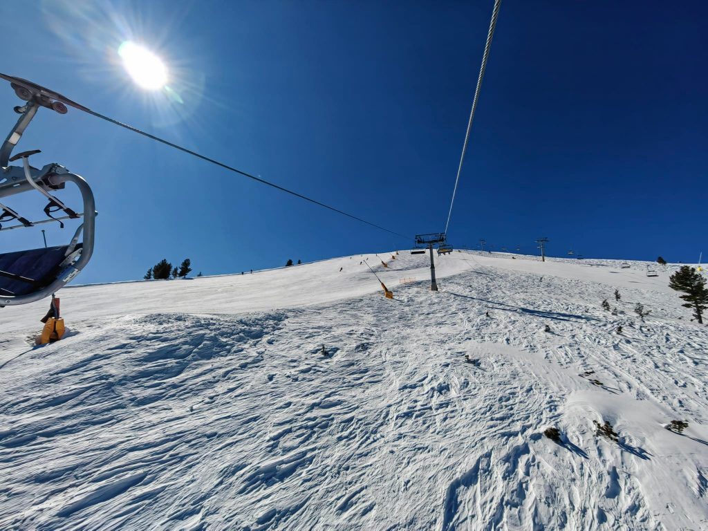
Another predominantly warm and sunny week for much of Europe. However, things are changing as we move into April with more snowy, wintery weather forecast after the mostly warm and sunny march. What snow there has been has once again been largely down at more southerly latitudes, in the Pyrenees, but there have been light falls for some centres in the Alps, the Dolomites and up in Scandinavia – against the wider trend of blue skies, sunshine and thawing snow. One more unusual avalanche warning came from the continent’s most southerly major ski area, Sierra Nevada, which warned the avalanche danger was at its highest level (5 on the scale to 54) as the recently fallen Saharan dust was absorbing heat and destabilising the snowpack.
AUSTRIA
AUSTRIA REPORT More than half of Austria’s ski areas have closed for the season over the past few weekends, although it’s the smaller, lower altitude centres that have decided it’s time to call it a day on 21-22. The main reason is the ongoing sunny weather and ever-rising temperatures making it inevitable, with many areas seeing 15-20C in the valleys over the last seven days. A weak front did break up the otherwise constant sunshine at the weekend bringing a mixture of rain and (where it dropped to low enough temperatures) snow. Most of the country’s larger, internationally known ski areas remain open into April though although many of these too will close over the next few weekends. For now though, despite diminishing bases, they’re managing to keep all runs (or almost all) open. The deepest snow is up on the glaciers, with year-round Hintertux (35/275cm / 14/110”) topping the table and Solden (79/261cm / 32/104”), open to May 1st, the next deepest.
AUSTRIA FORECAST A change in the weather is forecast at last with a return to wintery conditions as we end the week and enter April. Temperatures dropping back to freezing and overcast skies for the next few days then moderate snowfalls are expected daily through the weekend with the potential of 30-60cm (1-2 feet) totals snowfalls by the start of next week.
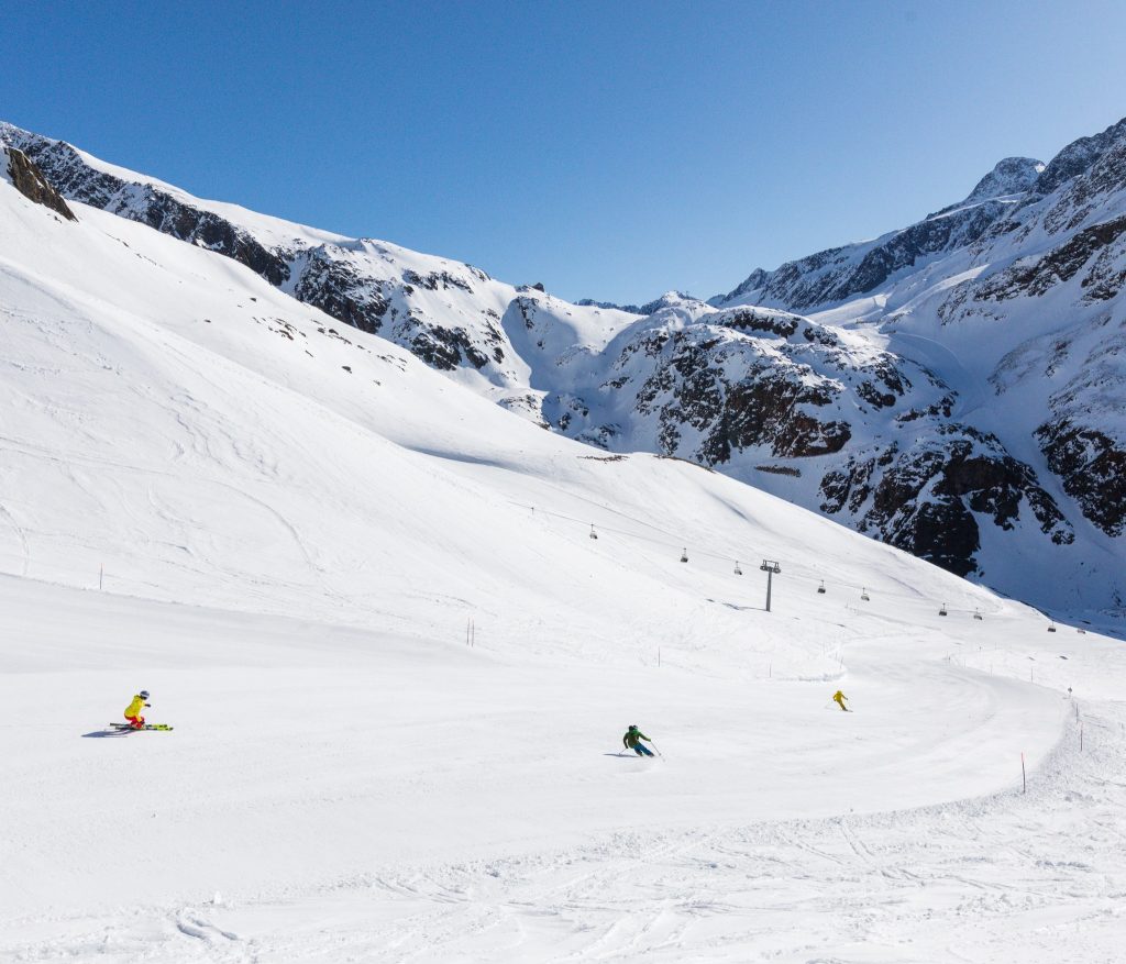
SWITZERLAND REPORT AThe sunny weather has continued in Switzerland with temperatures getting above freezing even at the highest lifts above 3,000m some afternoons. Down in valet floors highs of +15-20C have been recorded in the afternoons at around 100m altitude with a temperature drop of about a degree per hundred metres of altitude gain. All of the country’s larger ski areas remain open into April, with about a quarter of smaller, lower ski centres now closed for the 21-22 season. Laax (55/280cm / 22/112”) is currently posting Switzerland’s deepest snowpack up on its glacier. Lower slope coverage at the 4 Valleys (5/75cm / 2/30”) is getting thin and the amount of terrain open has dropped to about 75% of the 400km (250 miles) of runs included on the pass here, but this remains the largest areas in Switzerland that’s fully open.
SWITZERLAND FORECAST The weather is finally changing in the Swiss Alps with snow forecast for the remainder of this week and through the coming weekend. Temperatures will drop back down towards freezing getting as low as -10C overnight in resort for the start of April and -20C on the highest slopes, so it looks like a real return to winter and 30-60cm (1-2 feet) of snowfall is possible.
FRANCE REPORT Full on spring with plenty of sunshine and little else for French slopes too over the last seven days. With temperatures in the +10-20C range down in valleys the natural snow cover is long gone for most below about 1500m but ski areas are pushing snow down to complete base runs where necessary. Freeze-thaw conditions are leaving the snow surface hard in the early morning, very sticky by lunchtime, though of course, higher altitude slopes are remaining in good shape longer. Bonneval Sur Arc (90/250cm / 36/100″) has the country’s deepest snow base although second-placed La Clusaz (25/245cm / 10/98”) has only reported a 5cm (2”) drop in cover on last week. Big areas like the 3 Valleys and Portes du Soleil remain 90-95% open.
FRANCE FORECAST The final days of March and the start of April should finally see a return of snowy weather to the Alps, possibly good news for easter skiers. Some serious snowfall is expected to return at last in the last few days of the week with the chance of heavier falls into the weekend.
ITALY REPORT Another largely sunny week for Italy, although some areas in Trentino and the Dolomites did report a little fresh snowfall up high at the end of last week. But generally, it has been another warm week, as you’d expect in late March, with temperatures of 10-20 degrees above freezing in (now mostly green) valleys, freezing to plus 10 up on the slopes. Most Italian resorts remain open but some smaller, lower centres have now closed for 21-22 and bigger resorts like Cortina (30/70cm / 12/28”) say they’ll be closing down sectors through the coming weeks, starting with its Pocol slopes after this coming weekend. The Milky Way (25/50cm / 10/20”) reports 282km of runs still open despite the thing base, about70% of the maximum 400 km of runs there and the largest area open in Italy at present.
ITALY FORECAST More sunshine in the forecast as we start April in the Italian mountains, but with fronts moving in which could bring considerable snowfall, especially compared to the past month, and particularly in the north of the country. 30-60cm 91-2 feet) forecast by the end of the weekend, potentially.
GERMANY REPORT The vast majority of German ski areas have now closed for 21-22. Most do in a normal year by the end of march anyway but a fairly warm and dry winter plus pandemic factors have led to more calling it a day earlier than they would. But a dozen or so centres will open into April – and they are largely the bigger, better-known areas that have snowpacks that have survived the recent heat. This saw temperatures at the start of the week hit +20C at village level and get into double figures even on higher slopes in most areas. Reit im Winkl (0/120cm / 0/48″) has the most terrain open in the country with 40km (25 miles) of slopes. The Zugspitze (250/250cm / 100/100″), where the season continues to the start of May, has the deepest snowpack.
GERMANY FORECAST The weather is changing at last as we start April. German mountains will be cooler than they have been for much of March with precipitation expected over the final days of the week. How much of that is rain, how much snow, will depend largely on altitude.

SCANDINAVIA REPORT As is normally the case with spring skiing and boarding in Scandinavia, and 2022 is perhaps more the case than ever, snow conditions at these more northerly latitudes are typically a little better than in central and southern Europe, thanks to temperatures staying closer top freezing. Past the spring equinox, the days are getting much longer too, and the past week has been largely sunny across the region. Most of the larger ski areas in Finland, Norway and Sweden stay open into early May, closing after either the first or second weekends of the month, and currently, things continue to look pretty good. The largest in the region, Sweden’s Are (40/107cm / 16/43”), reports its terrain remains 100% open.
SCANDINAVIA FORECAST It currently looks like it will stay largely dry and close to freezing at most resorts over the coming week into the start of April. Just light snow showers are possible over the next few days, bringing just a few centimetres (an inch or two) of snow to freshen up cover. Highs around freezing or a few degrees above in resort, down to -15C overnight on higher slopes.
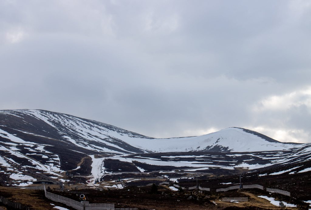
SCOTLAND REPORT It’s been an incredible week of sunshine and generally still weather across Scotland and much of the UK. That’s given some beautiful conditions up high for ski tourers and the highest runs at Cairngorm, Glencoe and Nevis Range but the double-digit plus temps have hit the snowpack hard and Glenshee is closed for the season, The Lecht is closed too unless enough fresh snow arrives. Cover at Nevis Range is at the very top of the slopes only and at cairngorm they’re stressing no beginner terrain and hike required up to and back down from the snow. Glencoe, which staged the celebratory ‘Mighty Coe’ festival at the weekend, has the deepest snowpack still and most of its terrain is still skiable.
SCOTLAND FORECAST The hope of snow returning is finally a realistic one with a big change in the weather for the rest of this week, temperatures dropping by 10 degrees and snow forecast. This should be enough to freshen things up at the still open centres but seems unlikely to be enough to allow the others to re-open. Cairngorm is currently closed until Friday for snowsports and plans to review re-opening later in the week, so fingers crossed.
SPAIN / ANDORRA REPORT Although snowfalls over the past seven days have not been as extensive as the previous week it has continued to be colder than in the Alps and some short light snowfalls have been reported to give a freshen up to the spring conditions. It is still getting warmer overall with the thaw set in and depths reducing though and several smaller resorts in the region ended their 21-22 seasons at the weekend. The deepest base in the Pyrenees is being reported on the Spanish side of the mountains at Candanchú (75/240cm / 30/94”) although La Mongie/Barèges (115/230cm / 46/92”) on the French side has only 10cm less snow up top and more at the base.
SPAIN / ANDORRA FORECAST The final few days of March may bring some quite significant snowfall to the Pyrenees rounding off a frequently snowy month. Thursday and Friday could see up to 30cm (12”) of snowfall, however.
BULGARIA / ROMANIA REPORT The recent period of cold and snowy weather in south-eastern Europe appears to be ending as we approach the start of April, but ski centres in the region continue to report good snow depths for this late in the season, thanks in large part to the repeat snowfalls in the region earlier this month. It was sunny through the weekend with temperatures varying between +10C in the valleys in the afternoon to -7C overnight on high slopes, so freeze-thaw conditions. Bansko (50/200cm / 20/80”) continues to post the region’s deepest snow and largest amount of terrain available.
BULGARIA / ROMANIA FORECAST Little change for the start of April with dry weather, a mixture of sunshine and cloud, and temperatures creeping ever higher.
CZECH REPUBLIC / SLOVAKIA REPORT More than half of the ski areas in the Czech and Slovak Republics have now closed for the season, but most of the big centres remain open. These include the largest, Slovakia’s Jasná (40/90cm / 16/36”) which has about 85% of its terrain still open. The snowpack there has survived rising temperatures and now conditions are starting to change with temperatures dropping and fresh snowfall finally arriving.
CZECH REPUBLIC / SLOVAKIA FORECAST It’s looking increasingly unsettled over the coming week with temperatures dropping down towards freezing and plenty of precipitation predicted. This may initially be rain at lower lying centres but everywhere should be seeing snow by Wednesday/Thursday with temperatures five degrees either side of freezing. 20-40cm (8-16”) accumulations are likely by the weekend.
NORTH AMERICA
NORTH AMERICA INTRO Another week that saw more ski resorts across the continent end their 21-22 seasons as fresh snow was falling. However, the springtime reality of rising temperatures and a thinning snowpack, along with the traditional switch from winter to summer ops by many areas at the start of spring meant the end of the season was inevitable. Not all snowpacks are dropping though with some areas in the Pacific Northwest posting their deepest bases of the season so far – passing the 14 feet mark, although further south around Lake Tahoe ski areas are posting some rather sad images of snow cover looking very ‘end of season’.
ROCKIES REPORT The Rockies are currently seeing the first snowfalls for a week after mostly sunny weather. Ski areas are posting mostly light to moderate 3-6 inch (7-15cxm) accumulations. But otherwise, it is full-on spring with warm weather leaving the snow sticky on lower slopes from late morning. Up high though the snow still stays good until mid-afternoon. Park City (48/75″ / 119/188 cm) with America’s largest ski areas still has its terrain 100% open as we start April. Wolf creek (102/112” /254/281cm), also fully open still, has the deepest snowpack in the US Rockies. Both have just over a fortnight of their seasons left.
ROCKIES FORECAST It’s back to sunshine in the forecast for the remainder of this week and the start of April from Friday, which will be the last of the season for some well-known resorts. Temperatures climb to 10 or 15 degrees above freezing at mountain bases and 5 to 10 above at altitude.
USA WEST REPORT It has been largely dry and sunny over the past week in Western North America, although a weak front that arrived on Monday is currently making its way eastward across the continent, typically bringing an inch or two of fresh snow to high slopes. But the trend is of course to warming weather with April around the corner at Mt Ashland in Oregon was one of the latest centres to close for the 21-22 season, at the weekend, reporting overall a drier than average winter. That said base depths in the pacific northwest have recovered in the past month to close to the seasonal average for this point in the year. The base at famously snowy Mt. Baker (163/181″ / 406/452cm) in Washington state is now the deepest on the continent and the deepest it has been all winter. There are four weeks of the season left here.
USA WEST FORECAST It’s looking sunny in the west for the final days of March and the start of April, with temperatures in the 30s and 40s at the top of the slopes, 40s to 60s at the mountain base.
MIDWEST REPORT The season is in full wind-down in the Midwest with about 90% of centres now closed for snow sports and many switched already to biking and golf. The weather though is not quite ready for the change it seems and recent accumulations have taken some centres beyond their seasonal averages. Parts of Michigan passed 300 inches (7.5 metres) of snowfall total this season in the past week. Mount Bohemia in the state’s Upper Peninsula, which claims the longest runs with the highest vertical and deepest powder in the Midwest is one of the beneficiaries passing its 273-inch seasonal average snowfall with another foot (30cm) of snowfall this week. It reports slopes are 100% open but is only open at weekends in April.
MIDWEST FORECAST Although it is still cold at times and in parts of the Midwest it is also warming up and raining in other areas so conditions are increasingly marginal, in common with ski areas across the northern hemisphere. Strong winds are a current factor impacting the slopes also.
USA EAST REPORT The past week has seen predominantly overcast skies in the Eastern US, which light snowfall (or rain) over the weekend and to start this week. The result of this and the ongoing thaw is very mixed conditions with some sticky snow down low and the best conditions up high of course. Temperatures have been below freezing at the top of the slopes but climbing up to the low 50s down in resort. Smugglers’ Notch (24/48” / 60/120cm) still has the region’s deepest snow. Killington (20/30” / 50/76cm) has the most terrain open, about 80% of its slopes are still accessible with the lifts expected to stay open there well into May.
USA EAST FORECAST Drier and warmer weather in the Eastern US as we begin April. Temperatures climbing back up above freezing and getting warmer into the weekend.
CANADA
CANADA WEST REPORT Changeable weather continues across the west of Canada with temperatures varying by about 10 degrees on either side of the freezing point. Whistler Blackcomb (20/260cm / 8/104″) where the season lasts to late May still reports 95% of its slopes open, the most in North America. Grouse Mountain (304/397cm / 122/159″) above Vancouver to the south has Canada’s deepest snowpack and is 100% open.
CANADA WEST FORECAST If anything it is looking a little cooler as we begin April with temperatures closer to freezing and several chances of light snowfall over the next few days. Predominantly overcast skies in any case.
CANADA EAST REPORT Cold and overcast skies in Eastern Canada over the past week with little precipitation of any kind to report and not much sunshine either. Temperatures have remained below freezing from top to bottom of the slopes in most areas. Mont-Sainte-Anne (35/50cm / 14/20″) reports it is 100% open despite its relatively thin cover, giving the most skiable terrain in the East of the country to start April. Tremblant (30/305cm / 12/122″) has the deepest snow lying and just a kilometre or so less terrain open than Mont-Sainte-Anne.
CANADA EAST FORECAST The weather does look set to change over the next few days with sunny spells and temperatures rising fast. A consequence of that though is that a front moving across at the end of the week looks like it will bring April rain showers rather than the snowy variety for most.
ASIA
JAPAN REPORT The deepest reported base in Japan, and the world, has dropped another 10% on a week ago at Seki Onsen (500/500cm / 200/200”) ski area by Myoko. It was down a metre (40″) on a few weeks ago, but even if the thaw accelerates it should be fine to reach the season end at the start of May. Ski areas in Japan are dividing up now with many closing at the end of March – last weekend, or next weekend, the first in April, but many of the best-known centres plan to stay open another 5-6 weeks, through the ‘spring season’ to the start of May. Niseko (200/420cm / 80/168″) is in the latter category. Like most areas it’s seeing spring weather now with temperatures climbing above freezing, the thaw set in and when there’s precipitation it is rain rather than snow.
JAPAN FORECAST Spring conditions are set to continue with the warmer weather continuing the thaw. Those centres staying open through to May tend to have deep bases at this point so should be fine for the final five weeks.


