WORLD SNOW ROUNDUP #128
Issued: 04 March 2020
By Patrick “Snowhunter” Thorne
North American Roundup
European Roundup
Asia Roundup
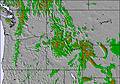
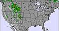
INTRODUCTION NORTH AMERICA
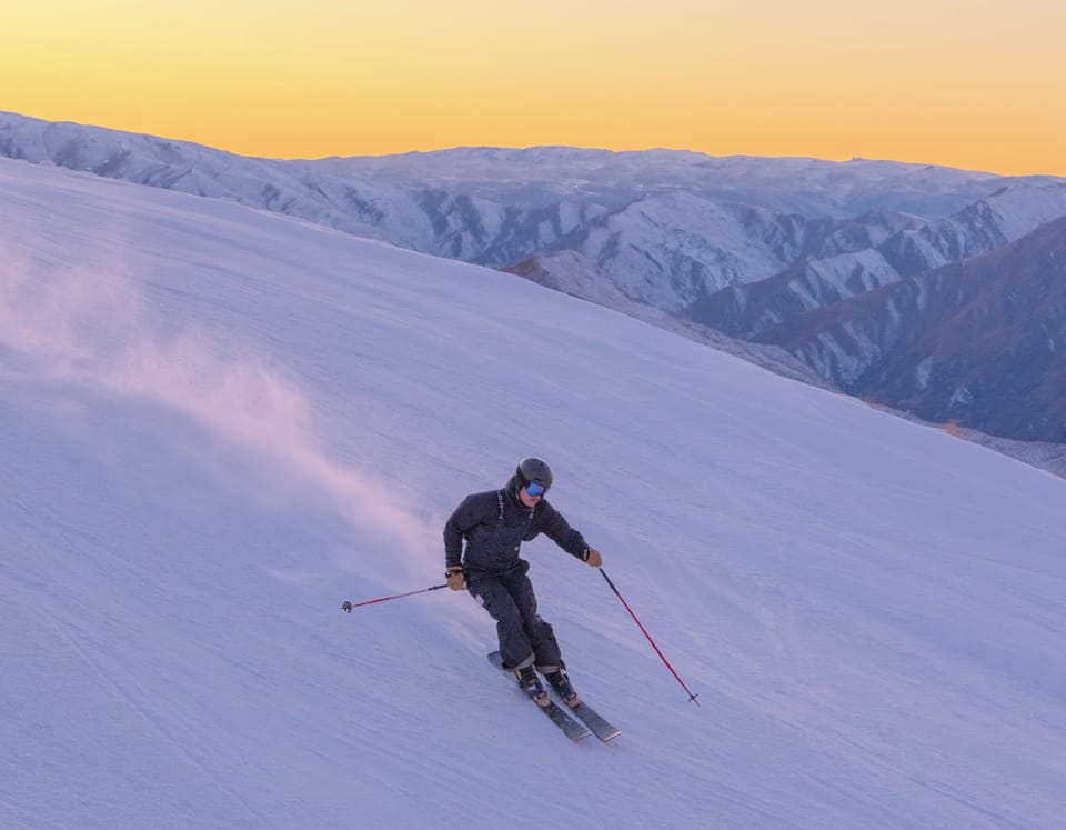
It has been a pretty snowy week across North America with ski areas in the East getting some of the biggest falls, in most cases more than expected, whilst there’s been more snowfall in the West where bases are approaching six metres (20 feet) now in the Pacific Northwest corner, where it has hardly stopped dumping since Christmas.
Stowe in Vermont posted more than a metre (40 inches) of snowfall over seven days, with some of the heaviest falls just before the weekend, and other ski areas in the region saw good snowfalls too, with many from Quebec to New Hampshire reporting at least 50cm/20 inches of snow. As conditions were already good in the region from recent February, they’re now exceptional.
Colorado reports the snowpack there is more than 100% above the average for this time in the season and resorts there have already started announcing extended seasons, and ski areas in California are celebrating some good weekend snowfalls as, although everything is open, the state has not had so much fresh snow since Christmas.
USA
ROCKIES
ROCKIES REPORT It’s been snowing heavily once again over the past few days. Alta in Utah (127/127” / 318/318,) has the deepest snowpack in the region but most areas have good bases and everything open. The snowfall to start the week ranged from 8-12” (20 to 30cm) with Colorado’s crested Butte (59/59” / 147/147cm) reporting one of the bigger accumulations.
ROCKIES FORECAST At the moment the week ahead looks dry, clear and a little warm at bases later in the week in most of the Rockies region. There’s wall to wall sunshine forecast for some but it looks like more snowfall, currently looking light, should arrive at the weekend, especially in the north of the region.
WEST
USA WEST REPORT There’s been little let-up in the snowfall along the western coast of North America and the past week has seen some good snowfalls down in California, which hasn’t seen much fresh snow of late, with most of it falling further north. Squaw Valley ( 31/93” / 86/234cm) was among those posting a powder alarm for eight inches (20cm) if snowfall in 24 hours on Saturday/Sunday. It, like most of the ski areas in the region, is fully open. The world’s deepest bases remain further north in Washington state. Here Alpental (Alpental (107/223” / 265/556cm) is approaching an incredible six metre/19 feet base up top, although Mt Baker (207/219” / 417/448cm) had the bigger snowfalls, another 26 inches / 65cm+ in 72 hours – about double Alpental’s.
USA WEST FORECAST There’s no real let-up in the snow forecast for the pacific northwest in the north of the region, with significant snowfall continuing to be forecast daily through this week. Further south the weather is clearer but more snow is expected at the weekend. Temperatures are varying between a few degrees above (at the base) and a few below freezing.
MIDWEST
MIDWEST REPORT Not much fresh snowfall to report in the Midwest but generally good conditions none-the-less with decent bases at most of the bigger areas now and temperatures generally staying a little below freezing to maintain snow quality and depth. Pine Mountain in Michigan (10/122” / 25/ 305cm) has the deepest reported snowpack in the region with Granite Peak Ski Area in Wisconsin (57/108” / 142/269cm) close behind and both with all lifts operating and all runs open in common with all of the larger ski areas in the region.
MIDWEST FORECAST The week ahead looks fairly similar with cool temperatures, mostly cloudy skies, the occasional sunny spell nut not much snow forecast. Temperatures creeping up is a bit of a worry, especially into the weekend, but most areas should see largely sub-zero temperatures, sometimes getting above freezing at the base though.
EAST
USA EAST REPORT It has been a very snowy week in the Eastern US, for many areas the snowiest of the week so far with up to 30 inches ((85cm) of snowfall reported through the end of last week and into the weekend in upstate New York, Vermont and Maine and snow falling further south too. Stowe ( 36/61” / 91/152cm) was one o the big winners with 13 inches (33cm) of snowfall on Friday followed by 22 inches (55cm) the following day. Since then it has been drier across the region but with a few centimetres more snowfall leaving remarkable good snow conditions and everything open.
USA EAST FORECAST After the very cold, very snowy weather at the weekend temperatures have warmed up considerably and are back around freezing, with some areas going well above that with a danger of thawing and rain rather than snow at times. However, the light precipitation in the forecast over the next few days should mostly fall as snow still in most areas and besides the forecast is mostly for sunshine.
CANADA
WEST
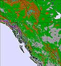
CANADA WEST REPORT Snowy once again on the western, coastal side of BC, to start this week, with some, lighter snow further East in the centre of the province but fairly dry with just the odd light accumulation on the eastern side and into Alberta. Across the region snow depths are good, the deepest in Canada, in fact, reaching (285/375cm / 118/244″) at Mt Seymour. But depths are good (Typically 2-3 metres / 7-10 feet) across the region now and with fresh snow its generally excellent conditions everywhere at present.
CANADA WEST FORECAST It’s looking fairly snowy for the week ahead with up to 50cm (20 inches) more snowfall expected in Western BC by the weekend. Snowfall will be lighter further inland and lighter everywhere from about Saturday onwards.
EAST
CANADA EAST REPORT Quebec and Ontario had a great end to last week and weekend with some of the biggest snowfalls of the season to date here too. Mont Sutton (70/120cm / 28/48”) reported 60ccm (two feet) over 72 hours up to Sunday, the biggest snowfall of the season so far there. As the snow comes on top of some good falls in the latter half of February, things are looking better and better for spring skiing in Eastern Canada, with everything open and lots of fresh snow. Conditions have been a little less snowy (though it has kept falling in many areas, just lighter) to start the week but more snow is now on the way.
CANADA EAST FORECAST After the past few clear days, it looks like it should return to snowy weather for the remainder of the week and into the weekend. It does not look like it will be as snowy as last weekend, but several centimetres/inches of snow are expected across the region every day through into next week, with temperatures remaining a little below freezing.
INTRODUCTION EUROPE
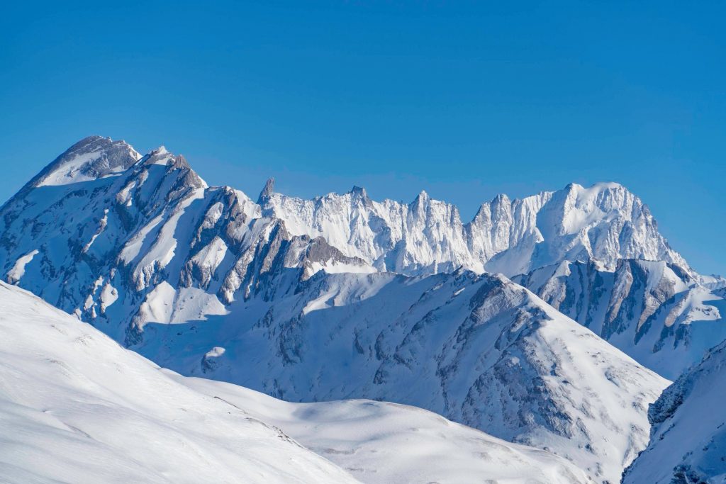
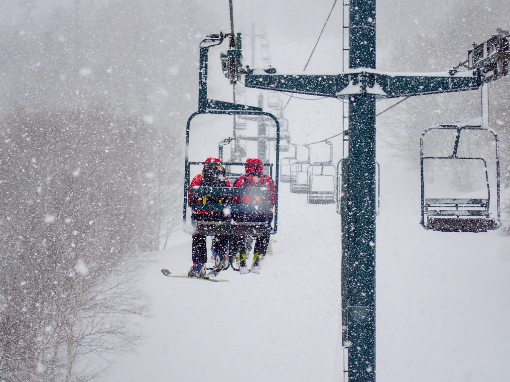
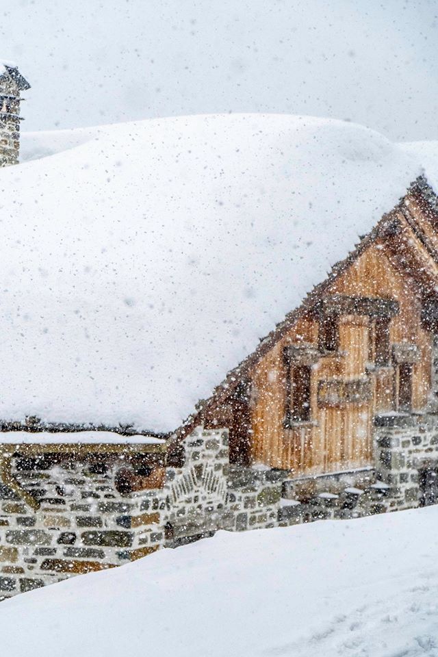
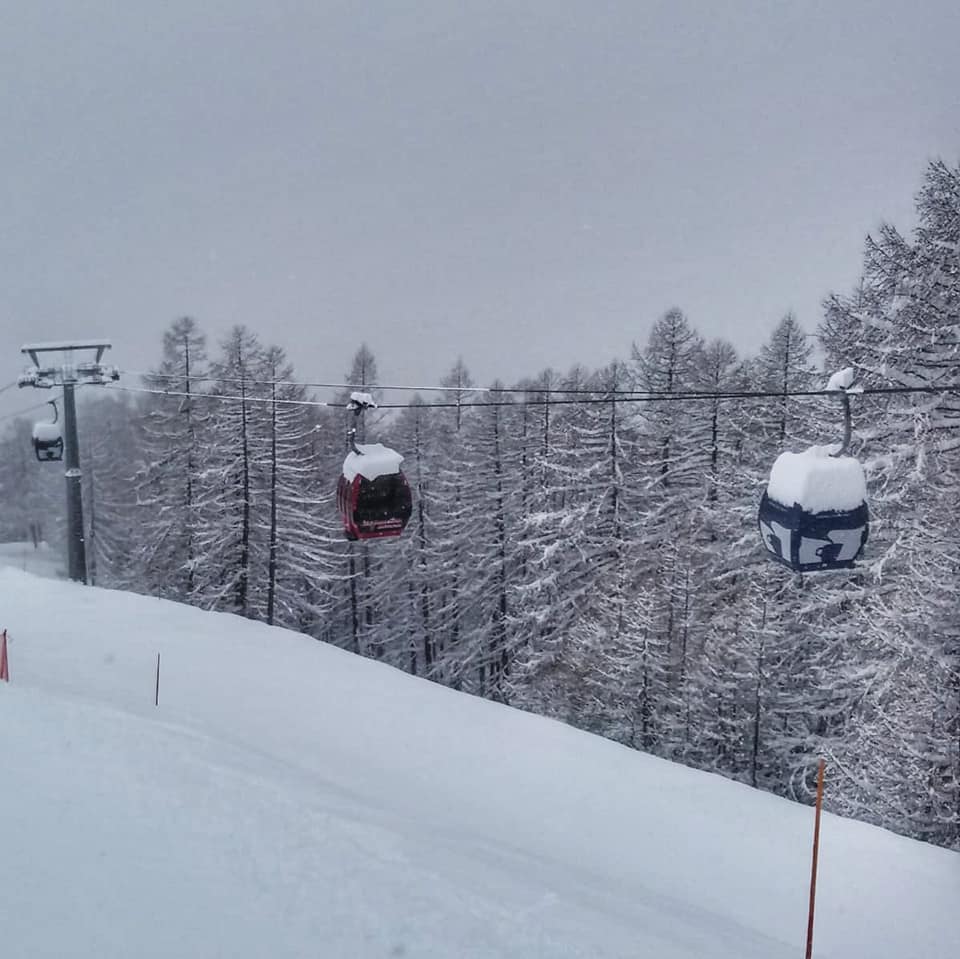
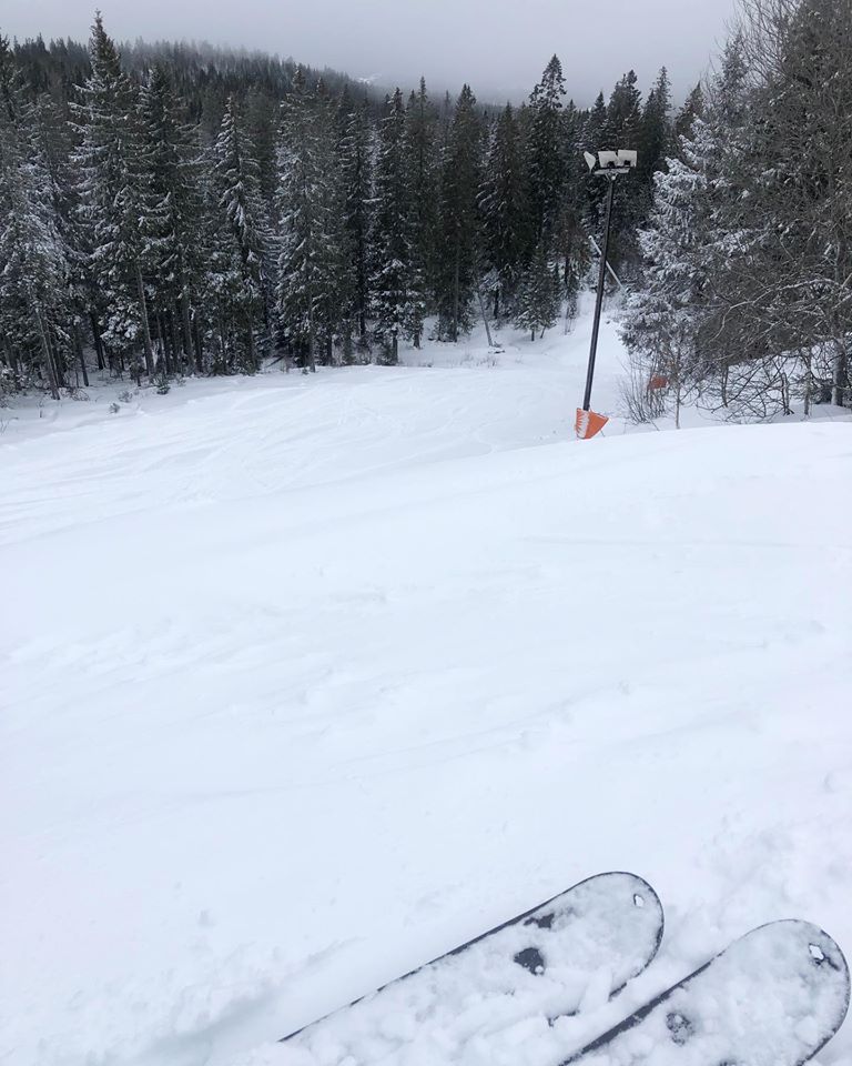
It has been one of the snowiest weeks of the season so far in the Alps with several resorts reporting more than a metre of snowfall in the past seven days, and even where they have not had that much, most have had good snowfalls. The snow has kept falling almost every day, with just a weekend lull when temperatures also got rather warm, before the next storm clouds moved in.
It’s not just the Alps either, it seems to have been a good week for snowfall almost everywhere. The Pyrenees got some light snow at the end of last week and are now getting a bigger snowfall – the biggest for around six weeks for many centres in fact. It’s also snowing in the Dolomites.
Eastern European ski areas have also reported very wintery conditions for the start of spring with 30cm accumulations and up in Scotland and Scandinavia, there have been good snowfalls too. In Scotland, conditions are now equalling the best they’ve got over the past few years and in Scandinavia, this week’s snowfall has been greater in parts of the region that have had little snow this season (Central and southern parts mostly), with Oslo’s local ski hill posting what is believed to be its first powder alarm of the season.
The areas that have seen the most snow, along with strong winds and fluctuating temperatures, are currently posting high avalanche danger warnings, either level 3: considerable or 4: High, on the scale to a maximum level 5 at present.
AUSTRIA

AUSTRIA REPORT Austria has seen a very snowy week across the country. Although the biggest falls were in the north and west, as they have been all year, ski areas in the south and east of the country in provinces like Carinthia saw some good snowfalls to start the week. Bad Kleinkirchheim (20/80cm / 8/32”) was one of those to get a nice dump at the start of this week. Conditions are a little marginal at lower elevations though – a recurring theme all season. There was rain on lower slopes at a number of areas as temperatures climbed above freezing, sometimes higher slopes too. The country’s glaciers, all with three-metre plus bases, are therefore looking the best for later in to spring although all the snowfall in the Arlberg has pushed St Anton (120/395cm / 48/158″) to the top of the snow depth table – the first time a non-glacier area has been up there all season.
AUSTRIA FORECAST There’s no sign off the current snowy period ending really, although there will be that moving altitude order line between rain and snow through this coming week. Currently, it looks like there’ll be heavier snowfall next weekend after the light to moderate falls across the country over the remainder of this week.
SWITZERLAND

SWITZERLAND REPORT Snow, snow and more snow has been the order much of the past week in the Swiss Alps with ski areas here reporting up to 52cm (21 inches) of fresh snowfall in 72 hours and some more than a metre in the past week. As with the rest of the Alps, all this snow isn’t always good news though as there’s been low visibility and strong winds at time leading Andermatt (50/450cm / 20/180”), which continues to post the deepest snow in the Alps although others are now coming close and resorts in Norway have overtaken it, forced to close a lot of its terrain earlier this week at the height of the storm, as did many other Swiss areas.
SWITZERLAND FORECAST After a brief lull in the snowy deluge on Wednesday and early Thursday, resumption is expected for the latter half of this week with temperatures expected to stay low and the snow currently likely to keep falling through the weekend with more significant accumulations possible.
FRANCE
FRANCE REPORT It has been a snowy week across France with the ‘lull’ expected last weekend not really happening and resorts issuing ‘powder alarms’ for 20cm (8 inches) or more of fresh snowfall pretty much every day through the last seven days. Along with building bases in the Alps to the deepest they’ve been all winter with some areas reporting more than a metre of snow in the past week, the even better news is some fresh snow in the southern Alps and French Pyrenees, which hadn’t had much. But before we get too ahead of ourselves, we better mention there have been rainy periods at low elevations and strong winds at times too and the avalanche danger off-piste is high. – up to level 4 on the scale to 5 in some regions.
FRANCE FORECAST After more than a week (nearer 10 days in fact) of almost non-stop snowfall for some resorts it does look like things should ease from around Thursday with, currently, a sunny weekend forecast for most areas. Temperatures look like they’ll be climbing above freezing to high altitude levels too.
ITALY

ITALY REPORT Against the PR effort to rescue Italy’s ski season from the negative press surrounding the coronavirus, the country has seen some of its best snowfalls of the season so far. These have included huge snowfalls in the Italian Alps, which were already in good shape from February falls but perhaps more noteworthy some decent falls in areas further south and east that have not had much snow this year. Bardonecchia (70/160cm / 28/64”) was one of the big winners earlier this week reporting 50cm (20 inches) of snowfall in 24 hours.
ITALY FORECAST Snowfall in much of Italy is expected to tail off from the middle of this week although temperatures should remain below zero so the fresh snow cover should stay in good shape into the weekend. Sunshine is also expected for potentially excellent conditions in the latter half of this week.
SCANDINAVIA

SCANDINAVIA REPORT The start of spring in Scandinavia has, if anything, seen more widespread low temperatures and snowfall than much of winter did – but with much longer daylight hours. Although this has been one of the few weeks this year when resorts in the alps have outperformed Western Norway for snowfall, Roldal (290/460cm / 116/184”) has overtaken the deepest base in the Alps (at least at the time of writing) to take Europe’s deepest snow after the months of snowfall there. But more noteworthy this week have been widespread snowfalls including at more southerly areas that have largely missed out, including Oslo’s urban Vinterpark ski centre (50/50cm / 20/20”) which reported it’d first powder alarm of the season with 20cm (8 inches) of snowfall on Sunday.
SCANDINAVIA FORECAST After all the snowfall over the past week it does look like a quieter week ahead for much of Scandinavia, with mostly cloudy but dry days, although more snowfall looking likely later in the weekend. Temperatures should stay a little below freezing most of the time but there’s a danger some areas will see positive temperatures and rain when others get snow.
GERMANY

GERMANY REPORT It has been a snowy start to the wee in German resorts with many of the country’s larger, more southerly centres, posting 30cm (12 inches) or more of snowfall over the past 72 hours, some double that. In fact with the snowfall set to continue through this week at any, it’s looking like one of the best weeks of the season so far, a shame it is arriving rather late with many German areas usually ending their seasons at the end of March each year. Although the highest slopes in the country upon the Zugspitze (220/350cm / 88/140″) has by far the deepest snow, other areas like Reit im Winkl (20/120cm / 8/48”) have about three times as much terrain open and plenty of fresh snow cover.
GERMANY FORECAST The snow that’s been falling all week is expected to keep falling through the rest of this week and probably intensify at the weekend – so a very snowy start to spring here after an often warm and dry winter. Most ski areas will see light to moderate snowfall each day this week before the heavy weekend falls. Temperatures should remain a few degrees below freezing.
BULGARIA and ROMANIA
BULGARIA / ROMANIA REPORT It’s definitely the best conditions of the season so far in Bulgaria and Romania following heavy snowfall in the past week. Bansko (30/90cm / 12/36″) reported a foot of fresh snowfall on Thursday/Friday last week and there were similar falls for other resorts in the region, leading to superb conditions at the weekend. The snow falling on top of old, frozen snow, then the snowpack subjected to wind and fast temperature fluctuation did make it very unstable however and one Russian skier was declared ‘lucky to be alive’ after being rescued after setting off an off-piste avalanche on Friday. Since the snowfall is has been mostly sunny and dry again but more snow now looks to be on the way.
BULGARIA / ROMANIA FORECAST The brief return to positive temperatures in the region should be ending from Wednesday with another front bringing a bit drop in temperatures to well below zero and more heavy snow, meaning meteorological spring is so far looking colder, snowier and more wintery in the region than most of the winter did. If anything the snowfall through the rest of this week looks like it will be heavier and more prolonged than last week’s falls.
CZECH REPUBLIC and SLOVAKIA
CZECH REPUBLIC / SLOVAKIA REPORT The Czech Republic and Slovakia have also been seeing some great snowfalls to start spring, with up to 420 (17 inches) reported over last weekend, resulting in some of the best conditions of the season so far to start March. Jasna (30/80cm / 12/32″) reported that biggest fall and has about two-thirds of its terrain open. Tatranská Lomnica (30/130cm / 12/52”) which is fully open posted 37cm (15”). It has been a little drier in recent days but temperatures have stayed pretty low with some more light snow flurries.
CZECH REPUBLIC / SLOVAKIA FORECAST After the heavy snowfall at the end of last week and into the weekend, more heavy snow is expected midweek in the region before driers conditions from Thursday onwards. It should stay cold (double digits below freezing) on the slopes though temperatures in the valleys could creep up above freezing at times now as we move further into early spring.
SPAIN and ANDORRA
SPAIN / ANDORRA REPORT The weather is finally changing in the Pyrenees with snow currently falling across the region. Last week’s accumulations were not so much as hoped but this time it is looking more promising with 30-50cm of snowfall expected by Thursday for ski areas in Andorra as well as in the French and Spanish Pyrenees. So with sub-zero temperatures, strong-winds at times and the snow dumping it’s a big change on the warm and sunny conditions that have dominated the region for much of the past two months.
SPAIN / ANDORRA FORECAST The current snowfall is expected to continue into the weekend with stormy weather at times. Some significant accumulations remain likely in the latter half of this week.
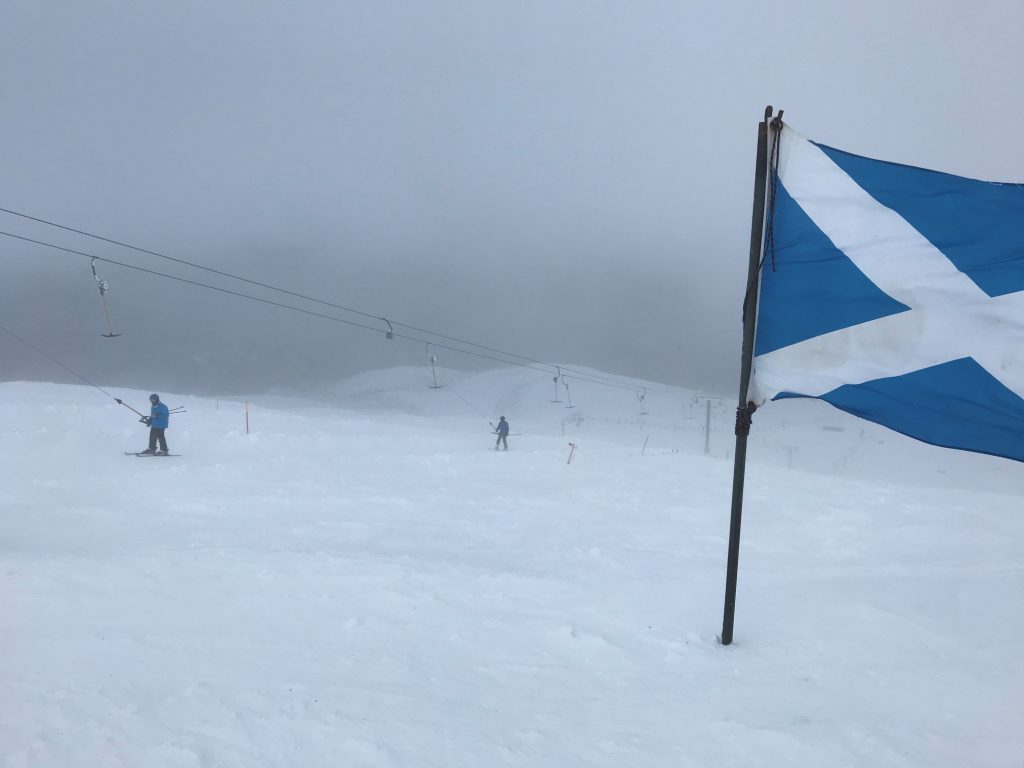
SCOTLAND

SCOTLAND REPORT Ski conditions in Scotland have continued to improve further with more snow falling and less strong winds meaning mote than 100 runs were open in the country at the weekend, believed to be the most for several years. Glencoe (10/205cm / 442″) reported summit depths have reached the two-metre mark and had all runs open except the steep Flypaper trail due to avalanche risk. The other four centres each have around two-thirds of their trails open and snow depths of up to 60cm (two feet).
SCOTLAND FORECAST It continues to look pretty good on Scottish slopes and our only fear is that we jinx it by being too enthusiastic. There are periods of rain and strong winds, but more of heavy snowfall or calm periods in the forecast with temperatures staying low, so it is continuing to look good at present at least into the second week of spring.
JAPAN
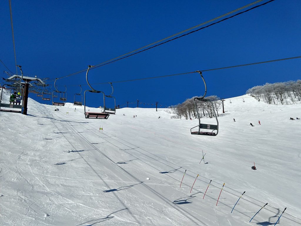
JAPAN REPORT An interesting development for Japan’s snow report this week with the governor of the country’s northerly province of Hokkaido, home to Niseko (125/295cm / 50/118”) declaring a state of emergency at the weekend, to last for at last the next three weeks, and asking everyone “not to go out” as the prefecture tries to prevent the spread of coronavirus which has infected more than 60 people there. But skiers did, on the whole, go out and the lifts kept turning. After what many skiers are saying is the worst ever winter in memory the last thing the ski areas needed was a health epidemic. As to the snow, well to some extent it is in the eye of the beholder. On Hokkaido at least bases continue to get deeper, Niseko had another 50cm (20 inches) of snowfall this weekend the famous former Swiss ski racer Didier Cuche in Hokkaido this week posted he had never seen such deep snow. But Hokkaido regulars are still saying it’s warmer and much less snowy than it should be still.
JAPAN FORECAST It looks like light snowfall will continue most days over the coming week in northern Japan. Small to moderate accumulations are expected most days with temperatures staying a little below freezing – so in short some of the best conditions of the season to date.