The Ski Map of the World

The biggest ever ski map, basically a ski map of the entire world, is now available online, and is looking for any skiers or boarders anywhere to help make it bigger and better still.
OpenSnowMap is a community-created and maintained ski map of the world, displaying more than 150,000km of ski pistes on its website.
Skiers and snowboarders can browse the map from Antarctica to Alaska, from California to Japan and look at the pistes available in each and every resort, from the smallest to the largest.
The coverage goes from the incredibly dense network of nordic trails around Oslo (Norway), to the biggest Alpine resorts of the Alps, to tiny hills in small Slovenian villages.
The project doesn’t ‘own’ all the information about these pistes however. The information comes from the freely available map of the world OpenStreetMap – often called the Wikipedia of maps.
Whilst OpenStreetMap is today the most complete open dataset when it comes to mapping our world, all ski-related features it contains also makes it the biggest global ski pistes database around.
And it’s all the creation of Yves Cainaud, who told Snow-Forecast:
“I’ve been fond of maps since my childhood, especially topographic maps. Then I discovered the OpenStreetMap community 11 years ago, a fantastic place where I was able to actually build a map by myself! Not only the image map you see now at www.opensnowmap.org, but also an access of the complete data powering a map of the whole world. I was able, along with thousands of other contributors, to complete this map by adding streets, houses, forests and of course ski pistes.”
“OpenStreetMap came with a complete ecosystem of open-source tools and software for anybody to make a map and share it on the web. At the time, there was already a ski map based on OpenStreetMap data called OpenPisteMap. As a cross-country skier, I thought there was more to propose on the map for nordic pistes, so I started a website called Pistes-Nordiques.org. The project then grew into OpenSnowMap after a couple of years, when OpenPisteMap creator, Steve Hill decided to follow other commitments,” Yves added.
Growing OpenSnowMap.org is not a priority in itself for Yves though, he says that although it may be a serious one, it is a hobby project for him, and apart the joy of sharing his own map, the other goal is simply to provide a nice display of the ski pistes to encourage other people to complete the map.
“The data being freely available, I’m not the only one proposing a map of ski pistes, but I’m happy that OpenSnowMap helped in motivating contributors to add their part of these pistes in the map!” says Yves.
More than 10,000km of pistes are added to the map each year, and although the biggest resorts are already on the map, the pace hasn’t slowed down much as yet, meaning that there’s still a lot of pistes and trails to add, particularly in the US, Yves says.
Your Chance To Add to the Map
Any skier with a GPS-capable phone in her or his pocket can add to the map. There are thousands of small contributors, and one shouldn’t have the false idea it’s done by professional cartographers: the bigger contributors are just more frequent skiers and boarders that travel more kilometres on their skis during the winter.
“It is worth noting that the map needs maintenance as pistes change around the world each year. Every day small changes are made to a lot of resorts, and every tiny bit of help counts when it come to having the best map possible,” says Yves.
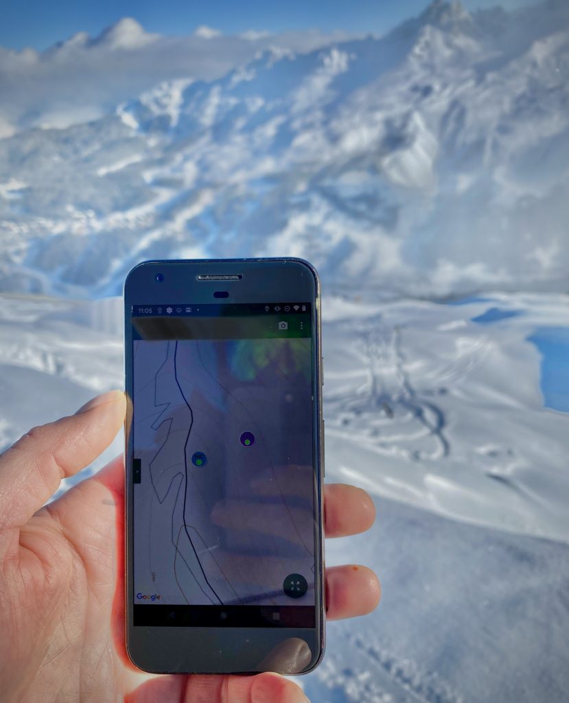
To create the map overlays, users usually use a GPS (a smart phone is sufficient) to record the trails they ski or board, which is mixed with aerial imagery to map the extent of the pistes.
“The aerial imagery also helps when the map’s makers need to refine the shape of woods, add the cliffs nearby, the lifts pylons and the snow cannons position and so on. One can become quite addicted in mapping details!,” Yves notes, adding:
“It really is fun to contribute and draw stuff in OpenStreetMap, but we are extremely serious when it comes to our sources: for the map to stay open and available to all freely, one never uses copyrighted sources to map in OpenStreetMap.”
The map data must be genuine and the images used for mapping must come from sources specifically authorized for this purpose. Luckily some providers offer aerial imagery for mapping in OpenStreetMap free of charge.
“We worship original data: 1km of pistes that one of our contributors logged this winter is more important than 100km copied from an ‘authorized source’ without checking on the ground if the pistes are actually maintained or not,” Yves explains.
It’s easy enough for anyone to get involved by going to OpenStreetMap.org, browse the map to your neighborhood, and choose ‘Edit the map’ from the top menu.
“There you are, start by adding your favourite bakery, maybe a bench, a fire hydrant, a tree, the road to your farm, … or a ski piste. I have to say that if you try it you will end up skiing more! I figured out that I do prefer skiing a piste that is not yet on the map, just to be the first to map it. This led me into discovering quite a few nice spots,” says Yves, who adds,
“I’m not a professional cartographer, and I have a day job as an engineer in the machine industry. Oddly enough, I’m a cross-country skier exclusively. I definitely prefer the calm of the Jura forests where you inevitably exchange a few words with the few other skiers you come across on a Sunday morning than queuing for a lift in the Alps. Some of the readers here maybe don’t know this, so let me tell you that it is possible to live a fantastic glide experience skiing uphill!”
“These past two years, Opensnowmap is used more and more throughout the web. Snow-Forecast.com has embraced the project in the individual resort website maps and in its mobile apps. Not only I’m sure this will bring more contributors, but this recognition also helps me to offer a better service in providing this map,” Yves concludes, adding: “On a less optimistic note, we are experiencing the warmest winter ever here in the Jura. The cross-country ski network prepared by locals is only a tenth or less of what it would normally be in February. The few times I skied this year were on trails where the snow is shovelled by hand daily to keep the trail skiable. I sincerely hope than in the coming years I will still be adding pistes on the map. Not removing some.”
Here’s a link to a simple guide on how to get up and running by adding to this mapping project yourself.


