US & Canada Weekly Snow Roundup #296
Weekly Snow News for North America, updated January 7, 2026: Deep freezes hit the East and Midwest while Pacific storms bring two feet of snow to Tahoe.
North America Snow Report: Complex Mix of Rain, Snow, and Deep Freezes
It’s a complex mix of conditions across North America this week, with some areas cold and dry, others experiencing heavy precipitation, and warm temperatures too, so a proportion of it has fallen as rain at lower elevations. The result is plenty of fresh, deep snow for some, whilst others have been forced to close as rain washes it away.
To break it down, Canada and the northern US border have seen temperatures 20-30 degrees below freezing, with little snow this week, but most areas have decent depths (up to 80" now), and most runs are open. The West Coast has seen plenty of precipitation, bolstering bases with fresh snow on higher runs, but heavy rain has damaged the snowpack and led to the closure of some areas in California and Oregon.
However, heavy snowfall to lower levels has now moved in again. Inland, the northern half of the US Rockies has had a good week, with several centers in Utah reporting proper powder conditions for the first time this winter, but some of Colorado's world-famous destinations have missed out and continue to struggle with limited cover and little open. The East Coast and the US Midwest have also seen bitterly cold weather moving down from the north at times.
- Revelstoke reports Canada's deepest snow depth.
- Whistler Blackcomb 90% open despite wind.
- Organized system to bring snow Friday.
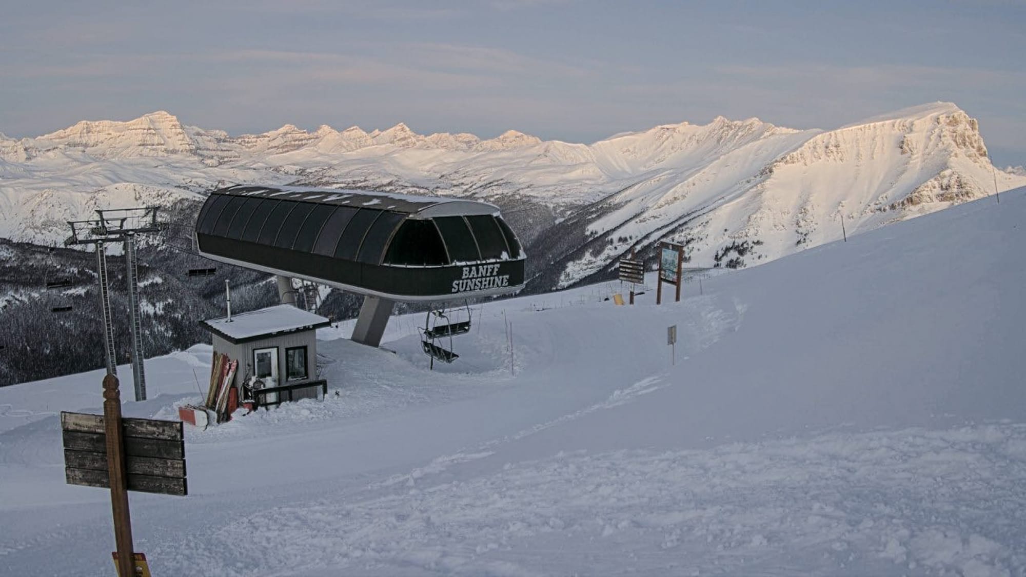
Canada West Snow Report and Ski Conditions 2025/26
Very cold weather has dominated inland conditions on the US West Coast. Temperatures have remained below freezing 24-7 at most resorts. Daytime highs have been in the 30°F to 23°F range, while overnight lows have dropped to 5°F. Some centers have been predominantly dry all week, and most of those resorts that have had snowfall have posted just an inch most days.

Others have seen larger accumulations, but few really big dumps have been reported. Revelstoke (32/84") has Canada's deepest reported snow depth and is close to fully open. Whistler Blackcomb (0/70") remains about 90% open, the most in North America. It has reported heavier snowfall than inland, but also strong winds at times.
Canada West Forecast
Further light snowfall accumulations are expected midweek. By Friday, a more organized system will bring moderate to heavy snowfall across Interior BC, with resorts expecting 4–5 inches and sub‑zero temperatures from base to summit. Higher slopes remain colder, often below 17°F, while bases hover between 28°F and 23°F. Stronger winds may accompany Friday’s snowfall, especially on exposed ridgelines, with occasional low cloud or fog during passing fronts.
- Tremblant reaches 90% open terrain.
- Blue Mountain posts region's deepest snow.
- Mont Sutton issues powder alarm for 8".
Canada East Snow Report and Ski Conditions 2025/26
It has been a mostly dry week across Eastern Canada, with plenty of sunshine, but temperatures dipped very low, down to -13°F overnight, in fact. Daytime highs reached only 14°F at resort bases at times, too. Mont Tremblant (8/16") still hasn't got a huge base, but it hit 90% of its terrain open over the New Year.
Ontario's Blue Mountain (28/28") is posting the region's deepest snowfall, whilst Mont Sutton down by the US border in Quebec reported one of the biggest snowfalls this week, including issuing a powder alarm for an 8" 24-hour accumulation.
Canada East Forecast
A slow‑moving system dominates Quebec and Atlantic Canada this week, pushing snow bands westward, an unusual “reverse” track for the region that leaves conditions unsettled. Quebec’s higher terrain may see up to 12”, with blowing snow at times reducing visibility to near zero. Ontario remains colder, with light snow possible around the Great Lakes mid‑week. Temperatures generally hover near freezing in Quebec, slightly colder inland, while Ontario’s bases stay well below zero. Expect occasional gusty winds on exposed slopes and pockets of low cloud or fog during heavier bursts.
- Palisades Tahoe picks up two feet of snow.
- Rain forces brief closures in Oregon.
- Stronger system builds late Friday.
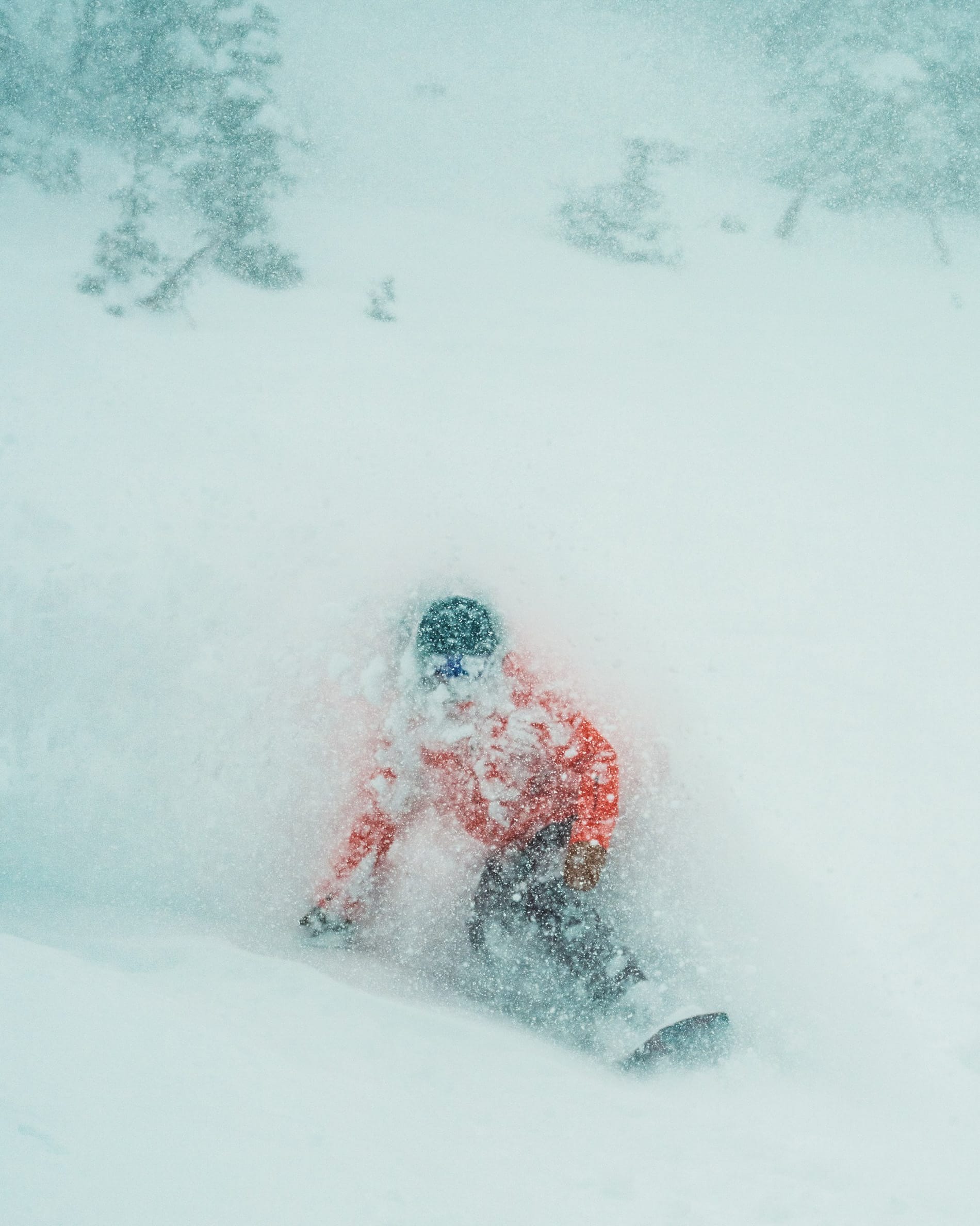
US West Coast Snow Report and Ski Conditions 2025/26
A mixed picture on the West Coast. After the transformative Christmas snowfalls led to mass slope openings, especially in California, transforming conditions from dire to superb, more moisture-laden storms moving in from the Pacific this week have improved things further for some, but brought rain for others, washing out the gains.
California's Mount Shasta Ski Park and Oregon's Mt Hood Meadows and rocks and other hazards emerged from under the thawing snow. Where winter proper is underway at higher resorts on the West Coast, they’re reporting 60-90% of their slopes open after the big Christmas snowstorms.
Now the snow train has started, it doesn't seem to be stopping either, with more significant snowfalls reported since the start of the New Year. Palisades Tahoe (20/48") posted one of the biggest falls at the start of the week, picking up two feet on the first day of the latest storm.
US West Coast Forecast
Some quieter days with only light flurries expected before the next stronger system builds late Friday into Monday, bringing heavier snowfall to the Sierra Crest and Mammoth, with snow levels dropping steadily and strong south‑west ridge winds likely. Oregon and Washington see passing fronts bringing light to moderate mountain snow, with colder upper‑mountain temperatures keeping conditions wintry. Alaska remains the coldest, with sub‑zero summit temperatures and occasional coastal snow bands.
- Park City and Snowbird see big snowfalls.
- Jackson Hole reports region's deepest snow.
- Avalanche danger rises in Colorado.
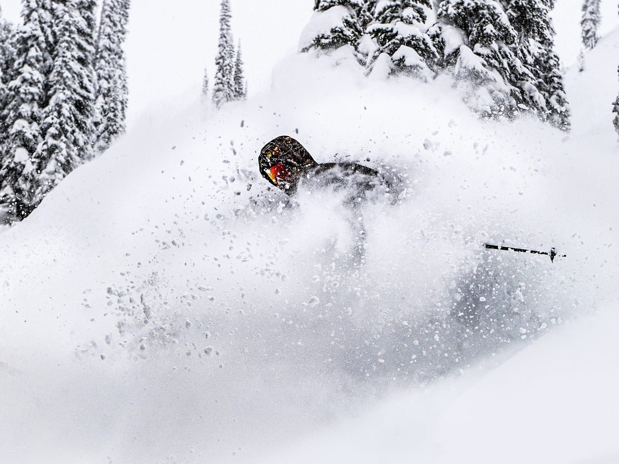
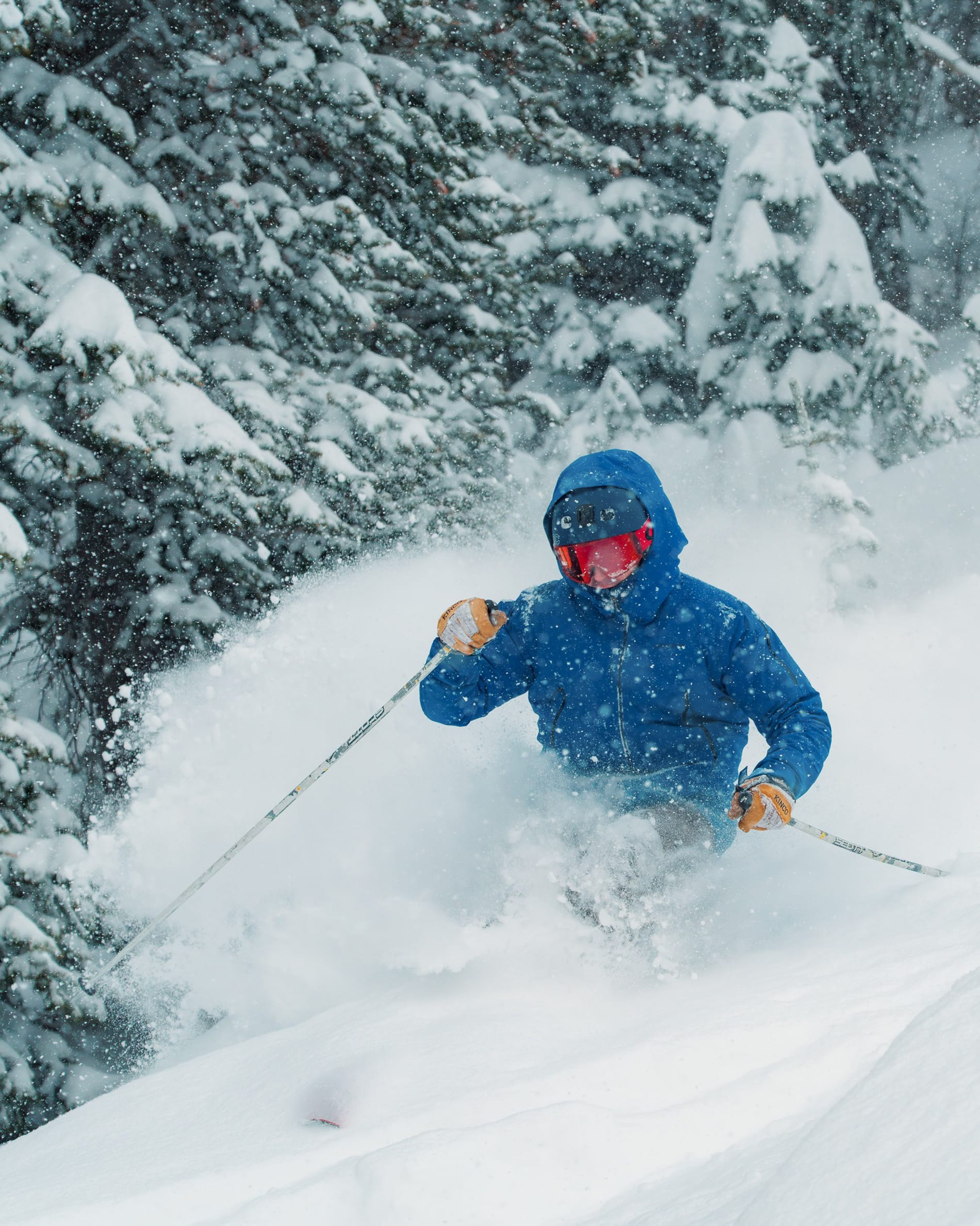
US Rockies Snow Report and Ski Conditions 2025/26
The northern Rockies have seen their best snowfalls of the season to date through the first week of the year, with snowstorms that had previously stalled in Wyoming, Montana and Idaho moving further south into parts of Utah, although, alas, still not making a huge impact on Colorado. But America's largest ski area, Park City Mountain Resort, along with ski areas like Snowbird, were big winners, posting several feet of snowfall and powder conditions since the weekend.
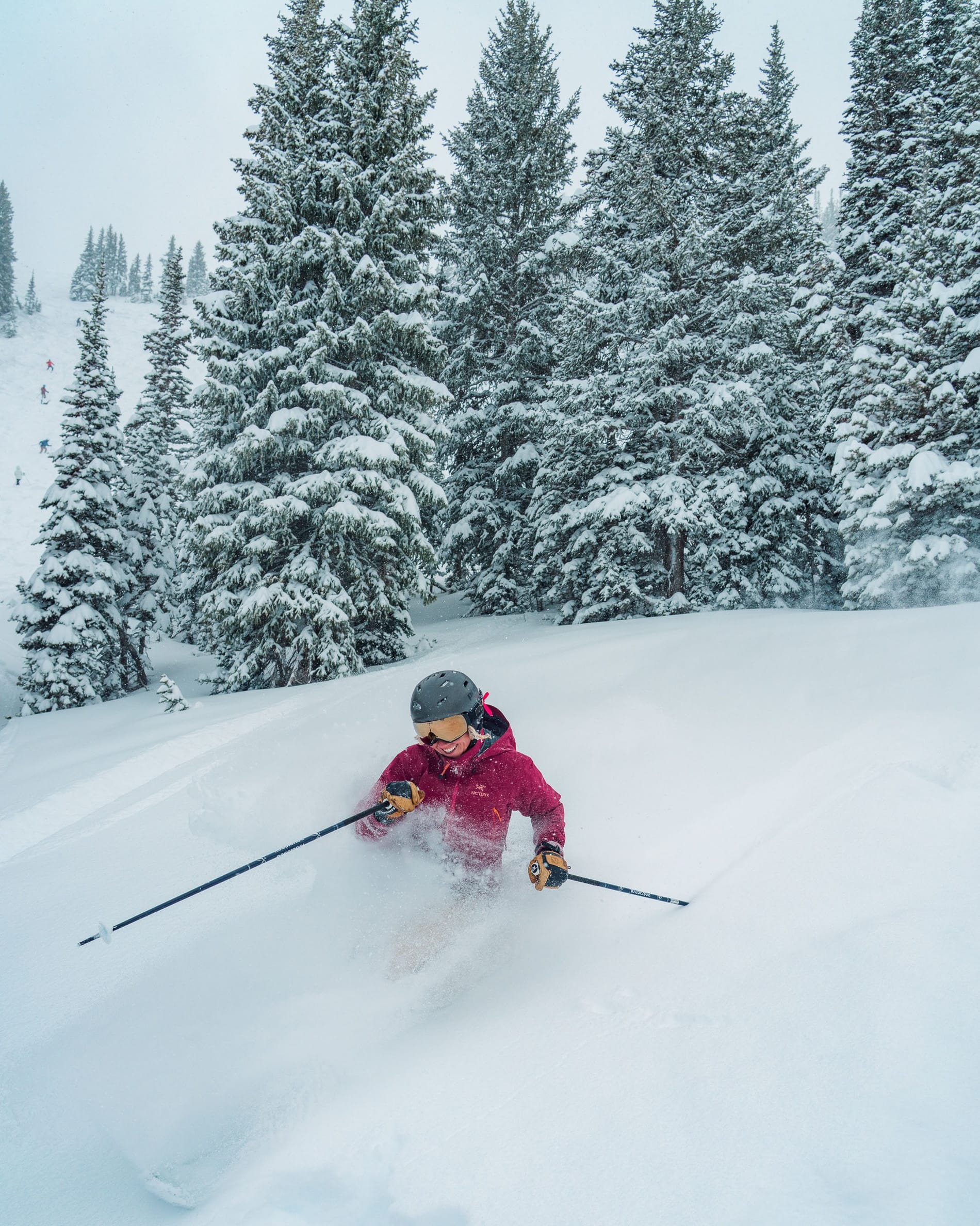
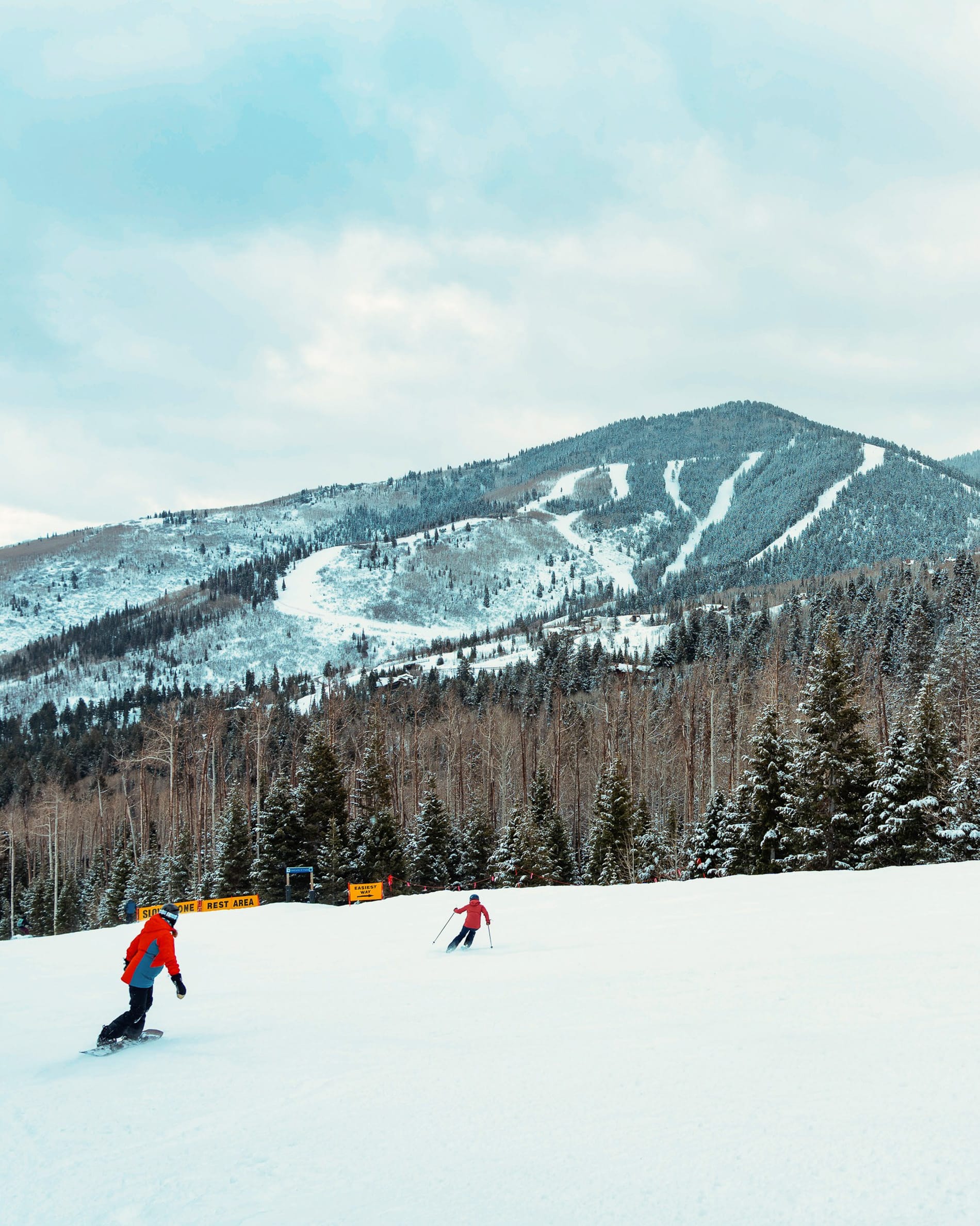
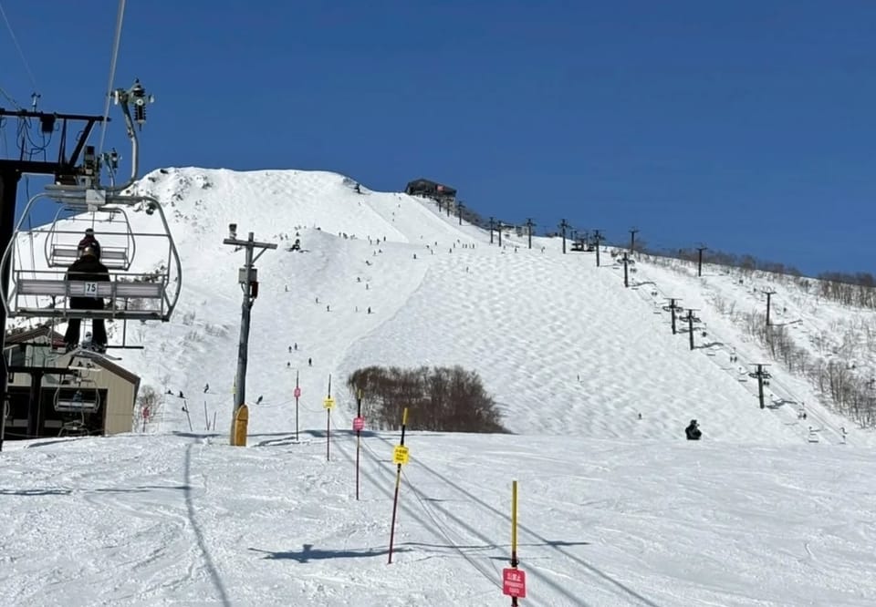
Ski images from Park City, Jan 5 2026
The avalanche danger has also risen, with parts of Colorado reporting unusually high levels, and several snowboarders were caught in a slide when they went outside the ski area boundary at Brighton in Utah at the weekend. Jackson Hole (12/80") again posted the biggest snowfall in the wider region this week.
US Rockies Forecast
Alas, further milder, generally drier weather is favored across much of the Rockies for the remainder of this week, with continuing above‑normal temperatures likely in Colorado, Wyoming, Utah and Montana. This limits widespread storm activity, though higher elevations may still see occasional light snow. That said, two systems should bring light to moderate snowfall to Wyoming, Utah and Colorado through January 12. Base temperatures trend towards freezing, while upper‑mountain readings stay well below, especially overnight. Winds remain moderate but can strengthen along exposed ridgelines during the passage of weak fronts.
- Whitecap Mountain leads Midwest snow depth.
- Snowriver Mountain Resort 86% open.
- Dynamic system to bring snow midweek.
US Midwest Snow Report and Ski Conditions 2025/26
A mixed bag of weather across the Midwest, with some areas seeing lake-effect snow moving down from the north, driven by Arctic weather systems, while others stayed mostly dry all week. Temperatures have also been highly variable, with overnight lows dipping into the single figures at times, then climbing to a few degrees above freezing, resulting in rain and sleet rather than snow.
Wisconsin’s Whitecap Mountain (64/64") has moved to the top of the table for snow depth in the region after fresh snowfall this week. Michigan’s Snowriver Mountain Resort (12/36") is posting the greatest number of runs open, with 64 of its 74 trails currently skiable.
US Midwest Forecast
A dynamic weather setup will affect the Midwest midweek, with a broad winter system bringing snow to many ski areas. Forecasts indicate over 6 inches in parts of the Tri-State region and along the Ohio–Indiana border, while the Great Lakes pick up heavier lake effect bands. Temperatures remain cold enough for consistent snowmaking, with bases well below freezing and upper mountain readings dropping further overnight. Visibility may deteriorate during stronger lake effect bursts, and winds could increase across exposed hills. Northern Michigan and Wisconsin appear best placed for reliable natural snowfall through the period.
- Kissing Bridge posts 33" of fresh snow.
- Killington has 60% of terrain open.
- Major storm possible January 11–12.
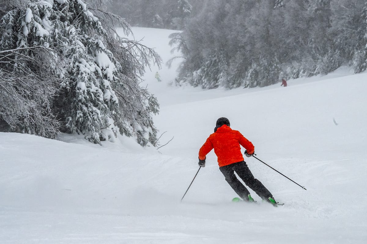
US East Coast Snow Report and Ski Conditions 2025/26
It has been largely good news for the US East Coast, with predominantly cold, sometimes snowy conditions over the past week. Media outlets tried to outdo each other with dramatic depictions of cold air moving down from the Arctic, using terms like "weather bomb". New York State seemed to get the brunt of it, with Kissing Bridge (62/62") posting 33" of snowfall in the first 48 hours of the New Year.
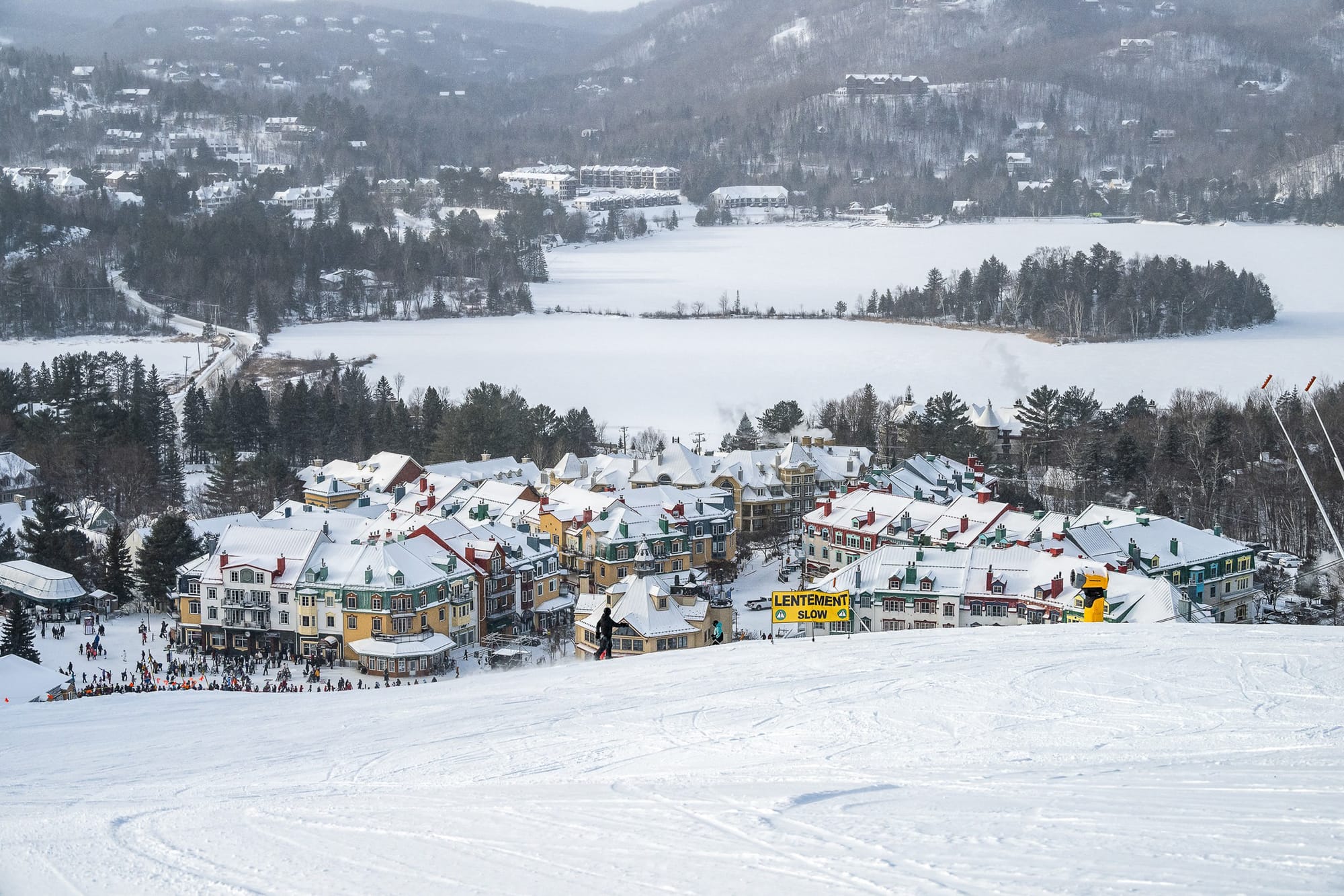
Pats Peak, Vermont Livecam
Accumulations in Vermont were lower, though the slopes there have received a good refresh. Killington (12/14") continues to post the most terrain open so far, about 60% of its full area. New Hampshire’s Cannon Mountain (19/79") has the region’s deepest snow.
US East Coast Forecast
Light snowfall is expected across parts of New England mid-week, with a larger storm system possible on January 11–12 that could deliver over a foot of new snow to some resorts. Temperatures remain seasonally cold, with bases generally below freezing and upper mountain readings well below zero overnight. Winds may increase as the weekend system approaches, especially on exposed summits, with occasional blowing snow reducing visibility. Resorts in Vermont, New Hampshire and Maine look best placed for meaningful accumulation, while the Mid Atlantic remains more variable, with mixed precipitation possible.