Up To A Metre (3ft) of Snow Forecast for the Alps: Sat – Mon
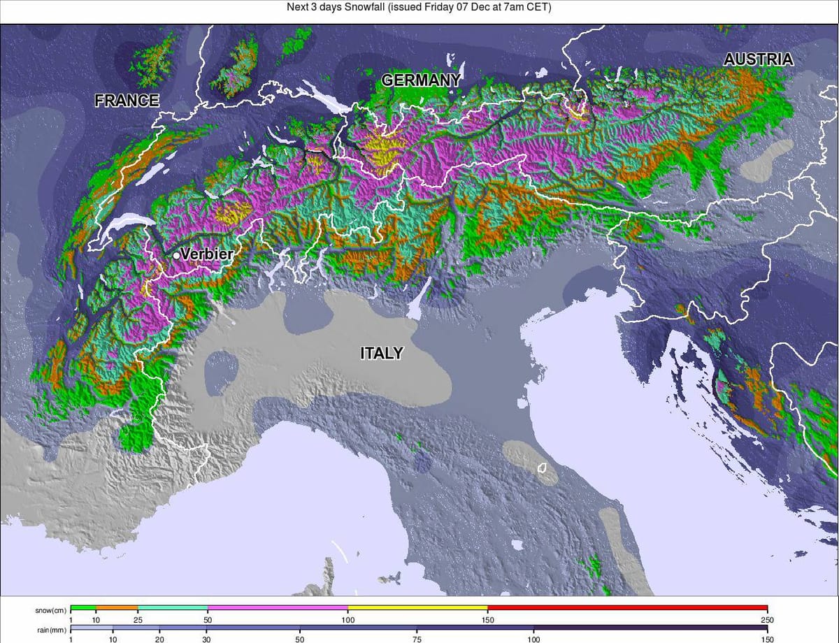
The short-range weather forecast is increasingly pointing towards very heavy snowfalls hitting the Alps from tomorrow until Monday. It looks like it will keep snowing further into next week too.
Sunday appears to be the day when the snowfall will be most intense, with a number of ski areas, particularly in the Western Alps, expected to get as much as 55cm in 24 hours on that day alone, but accumulations of 15-30cm are also forecast on Saturday and Monday. Our snow picks page ranks the resorts that will see the most snow.

Most resorts in the Western Alps have 65-85cm of new snow over the next three days with some of the biggest forecasts given for Grimentz in Switzerland (99cm including 50cm on Sunday) and St Anton in Austria (95cm including 49cm on Sunday).
In the Eastern Alps with lower
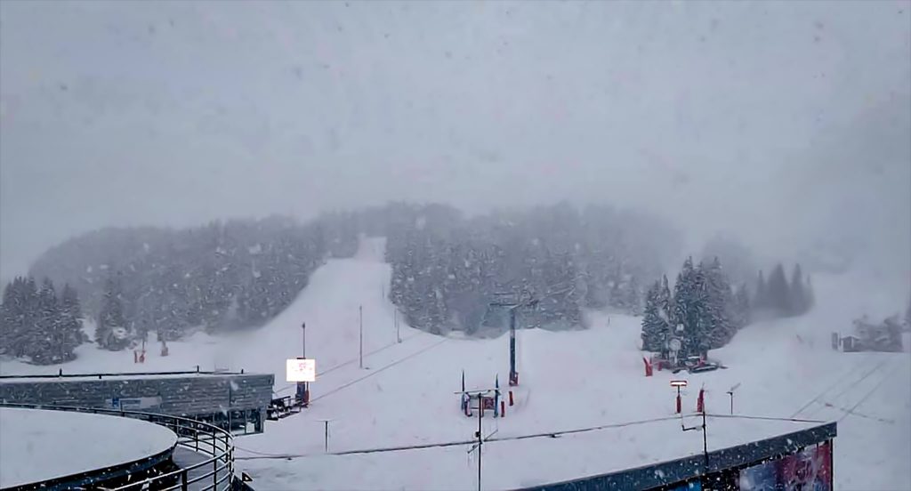
The fresh snow should have quite a transformative effect on ski areas, with early reports from already open ski areas suggesting conditions on piste are excellent at higher elevations but with limited cover lower down the mountain. However, the new snow will arrive with much lower temperatures than a week ago meaning that lower elevations will get to see some snow.