Snow-Forecast Data Shows This is The Best Start to the Season in The Alps for 21 Years
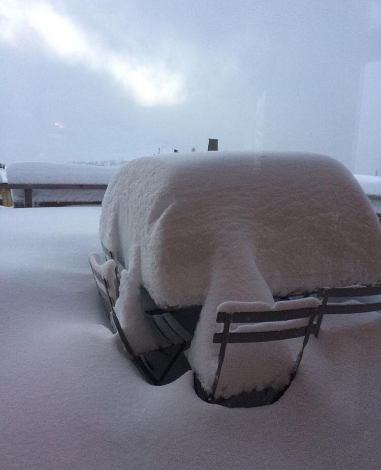
Research in to early season snow stats has revealed that this is the snowiest start to the season for 21 winters
“Although 1998, 2011, 2012 and 2008 were just as snowy in some Alpine resorts, we have to go all the way back to 1996 to find a ski season that was notably better in terms of early season snow depths across the whole of the Alps,” says Snow-Forecast’s Robert Davies, who adds,
“Let’s not forget that over that two-decade period we have suffered some disastrous seasons with hardly any natural snow below the Alpine glaciers until mid-January.”
Why so good this year?
Davies says that first, we avoided a weather event is usually the cause of our worst ski seasons: when the Azores high takes up residence over Western Europe in Autumn and then stays there into January.
Second, really snowy ski seasons, including this one, tend to be La Niña years. Although La Niña describes a low-temperature anomaly in the Pacific Ocean, it affects the whole globe: for example, by causing slightly cooler than usual global temperatures.
It’s sobering then that 2017 is set to be one of the three warmest years yet recorded, despite La Niña.
For several months, colder than normal equatorial sea temperatures in the Atlantic have been compensated by warmer than usual temperatures across the North Atlantic where Europe’s storm systems are generated.
This, in turn, is driving extra evaporation which manifests itself as heavy snowfall across the mountains of Europe, and it is snow rather than rain that has been falling because the wind has generally from a north-westerly quarter rather than the mild southwest, thanks to the jet stream.
In the UK, regardless of La Niña, El Niño or neutrality, the single most predictable weather event in the calendar is a very stormy period around New Year, occurring about 45 out every 50 years. This year is no exception and these Atlantic storms will affect the Alps too.
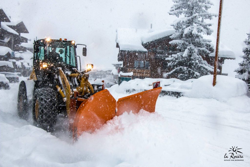
A welcome spell of settled and calm weather across the Alps is expected to give way to Atlantic fronts and more heavy snowfall from about the 27th; initially with a risk of rain below about 1500m before it turns to snow down to valley levels as secondary lows form in the Mediterranean.
Although nobody can predict with any certainty how the ski season will develop after the end-of-year storm cycle, computer models are confident that both La Niña and the current Atlantic sea temperature anomalies will persist until spring but with an increasing chance of settled spells as the winter tends towards normal.
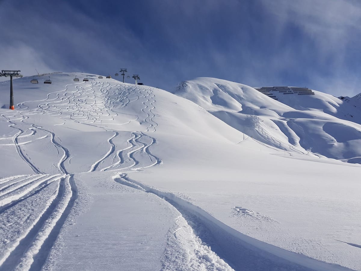
“Average weather from January through March would be good enough. With such a great base these early, good conditions are assured but snow depths in some resorts are already causing avalanche concern. All we really want for the next three months are regular top-ups of modest snowfalls,” concludes Davies.