USA and Canada Weekly Snow Roundup #292
Weekly Snow News for North America, updated 10 December 2025: Rockies and Midwest lead early-season terrain while West Coast waits for deeper snow.
. However,
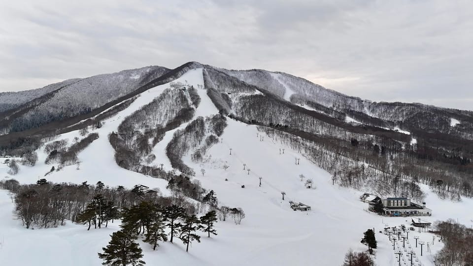
North America Snow Report and Ski Conditions — Early December 2025
- Early-season terrain strongest in the Rockies, Midwest and Northeast.
- West Coast waits on deeper snow and colder temperatures.
- Alberta and British Columbia post some of the deepest bases.
- Southern Rockies already report 100% open at key resorts.
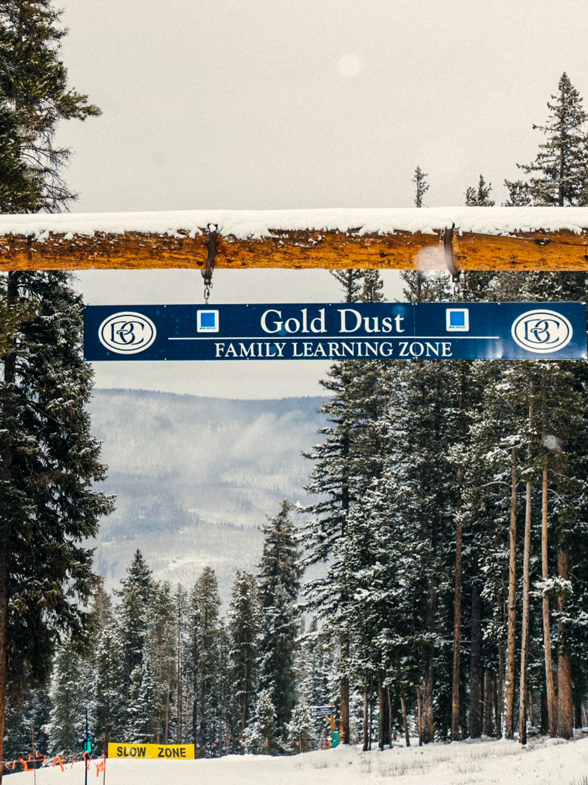
It’s been a better week for the US, with snow reported across mountain ranges. However, many well-known resorts, especially in the Pacific Northwest, are still awaiting a fuller opening as they wait for more snowfall and consistent cold weather. Some are approaching their latest-ever opening dates.
Unusually, the first of the larger resorts to report their terrain being 100% open are the more southerly ski areas like the Arizona Snowbowl and Wolf Creek in Colorado. It's also notable that the Midwest has experienced its characteristic very cold weather in recent days, while the Northeast continues to enjoy a fairly typical and healthy start to the season compared to recent years. Several resorts there have significantly more terrain open than larger centers further west.
Conditions are somewhat better in Western Canada, with all in Alberta currently occupying three of the top five positions in the 'most terrain open in North America' table.
Canada West Snow Report and Ski Conditions
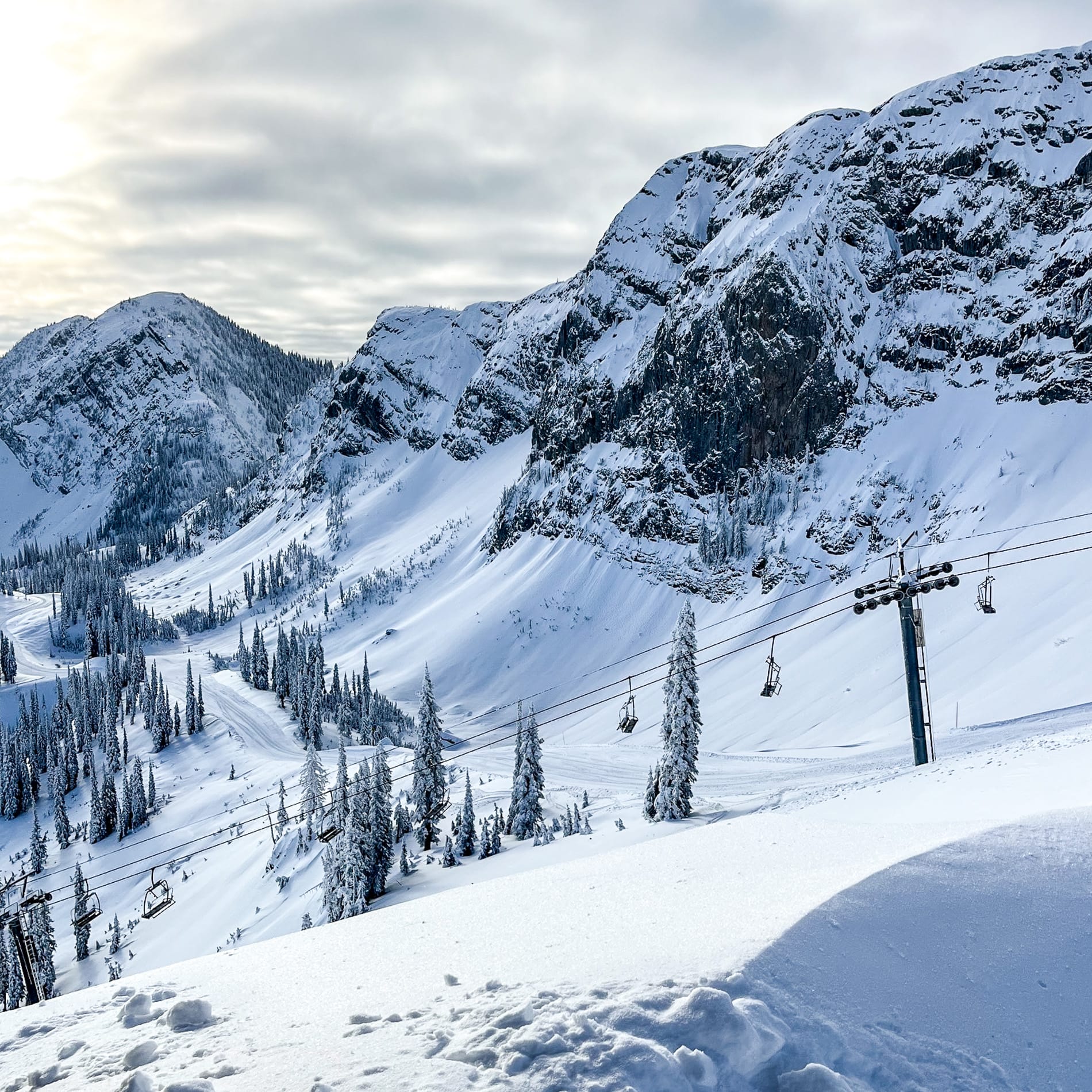
A mixed but generally positive week for Alberta and BC, with some low temperatures and snowfall, along with moderate to strong winds at times, the freezing point averaging around the 1000m mark. North America's biggest resort, Whistler Blackcomb (0/42"), has recorded one of the highest accumulations, with approximately two feet over the past few days, pushing its base past the meter mark at higher elevations. However, there has been rain at lower levels.
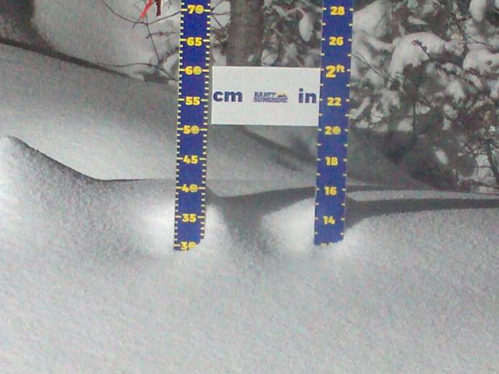
Sunshine (28/57") has the country's deepest snow cover, while fellow Banff area Lake Louise (24/24") has the most terrain open in the country (and the second most in North America) so far.
Canada West Weather and Snow Forecast
Ski areas in Alberta and British Columbia will experience fresh snow, cold summit temperatures, and unsettled weather throughout the rest of the week, offering good powder conditions at altitude. Scattered snow showers are expected across the Rockies and Coast Mountains, with 4–8 inches of new snow anticipated at higher elevations. Summit temperatures will range from –10 °C to –5 °C, maintaining wintry conditions, while valley levels will hover between –5 °C and +2 °C, bringing occasional sleet or rain. Westerly Pacific systems will bring gusty winds and cloud cover, which can reduce visibility.
Canada East Snow Report and Ski Conditions
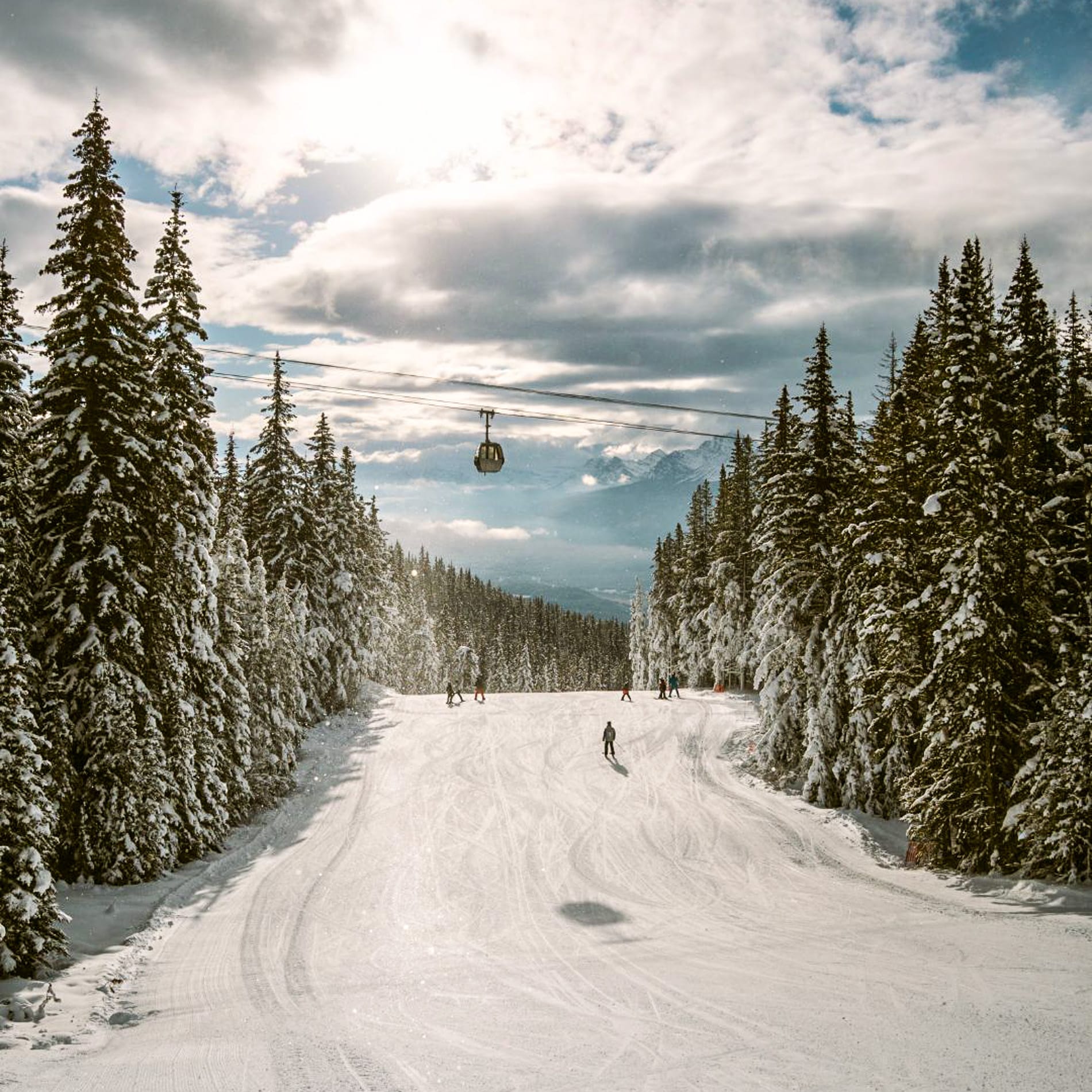
Ski racing fans focused on Quebec's Tremblant, the East's largest resort (8/12”), over the weekend as the women’s FIS World Cup Tour hosted slalom events. It has the most terrain open in the region, about a third of its slopes, though most of Ontario, Quebec, and the Atlantic Provinces’ ski areas are now open as well.
Recent days have been bitterly cold, with daytime highs ranging from 9–21 °F, and wind chills making it feel as low as –36 °F in exposed areas. This is advantageous for snowmaking, but there has only been limited natural snowfall.
Canada East Weather and Snow Forecast
Eastern Canadian ski resorts will experience mixed winter conditions through the weekend. Resorts in Ontario and Quebec can expect light to moderate snowfall totaling 2–4 inches at higher elevations, with occasional rain or sleet affecting lower slopes. Summit temperatures will maintain wintry conditions on the pistes, while lower altitudes hover around –2 °C to +3 °C, leading to variable snow quality. Winds will be moderate to strong from the west, reducing visibility during showers.
US West Coast Snow Report and Ski Conditions
Some improvement this week with a bit of natural snowfall, but West Coast ski areas continue to see a patchy start to winter. In California, Mammoth (12/41”) picked up light snow and continues to post the most terrain open in the region, up to about 40% of its terrain so far.
Most other areas in the state remain closed or are less than 5% open and only open at all thanks to snowmaking. Further north, ski areas in Oregon and Washington state are seeing a historic late opening to their seasons. It's a bit brighter up in Alaska, where Alyeska (4/56") has the deepest reported base in North America.
US West Coast Weather and Snow Forecast
West Coast ski areas are expected to experience a turbulent week ahead. Alaskan ski centers will see temperatures dropping into the 20s°F, while resorts in Washington state and Oregon should receive 12–19 inches of new snow. However, midweek warmth may raise freezing levels to 7,000–8,000 ft, increasing the risk of rain-on-snow. Californian ski areas will encounter temperatures in the 30s–40s°F, with precipitation alternating between snow and rain. A cold front late in the week is hoped to bring fresh powder along the coast.
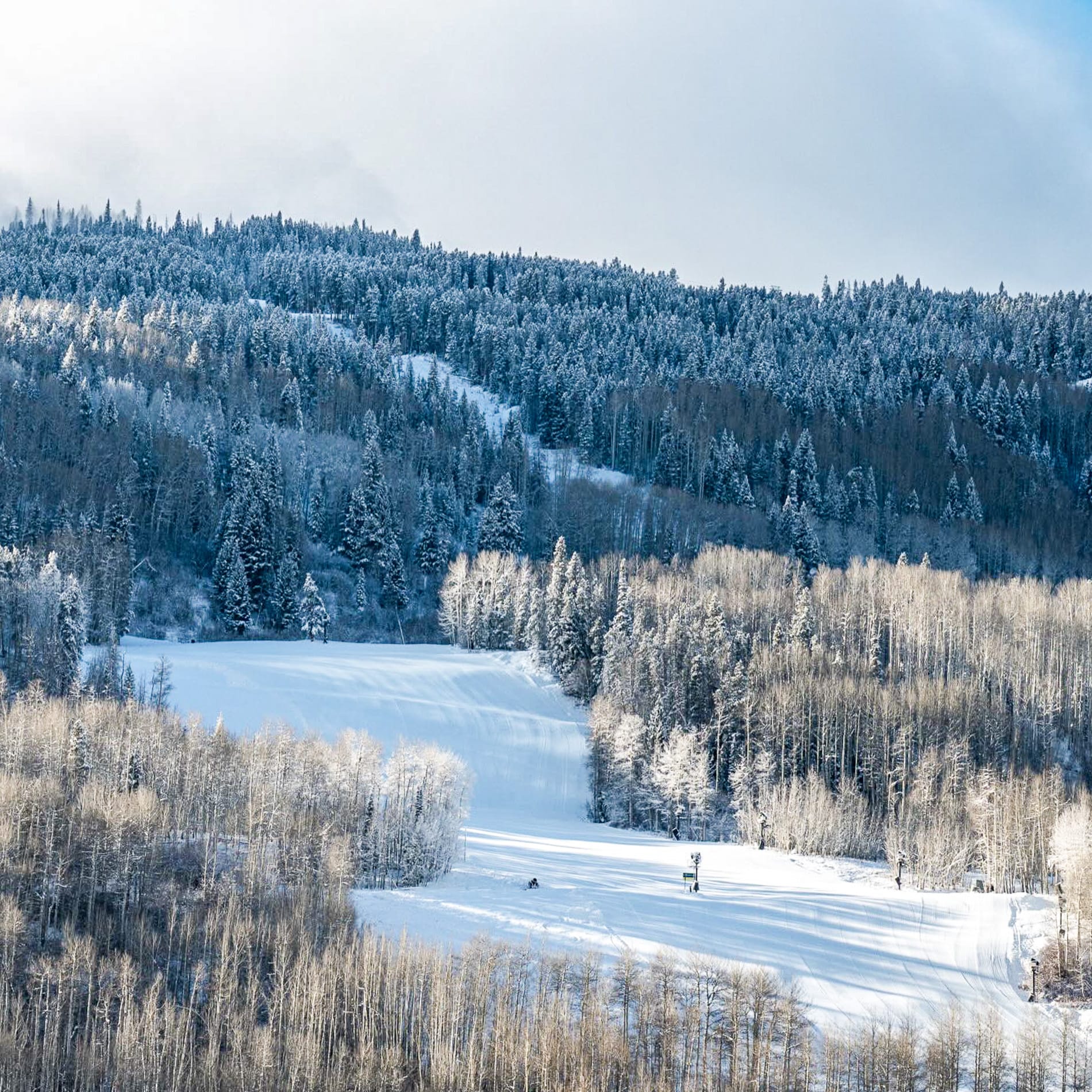
US Rockies Snow Report and Ski Conditions
The southern Rockies have the best conditions in North America, with fully open Wolf Creek (34/41") posting the most runs open. While many western US resorts are still struggling to open, the Arizona Snowbowl also reached 100% open over the weekend.
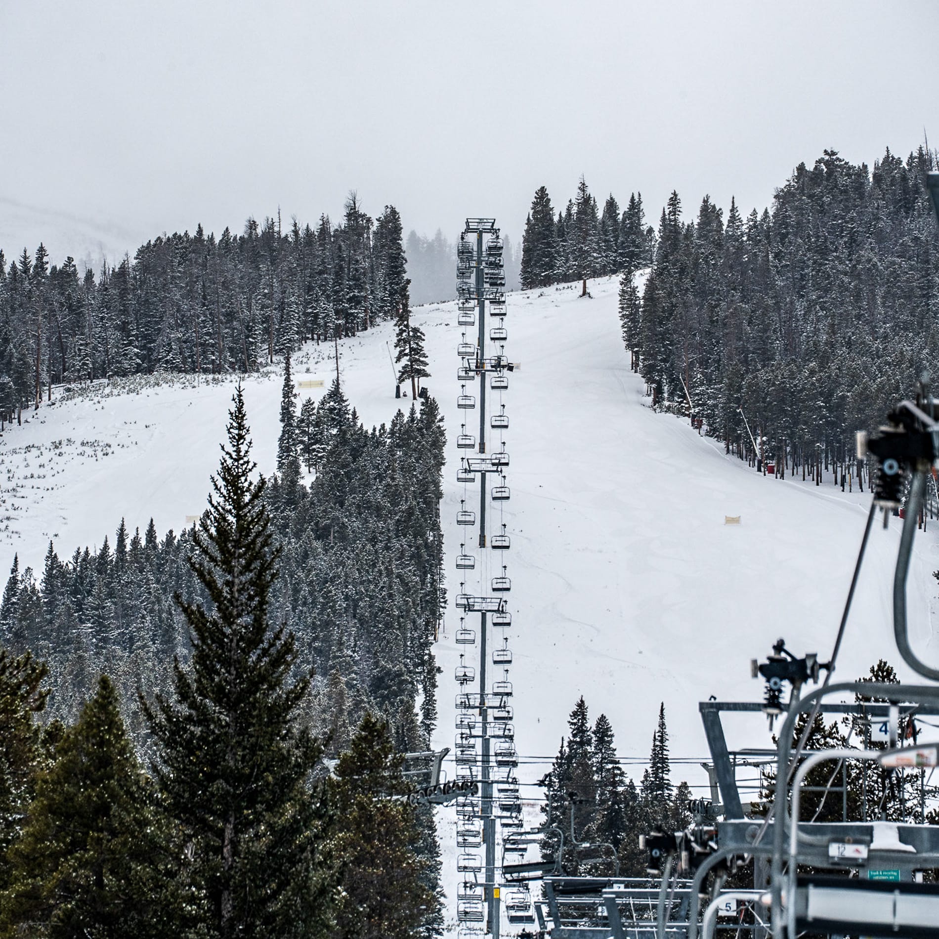
The past week has been better across the Rockies, with some good snowfall and cold temperatures (accompanied by strong winds), allowing more centers to open, though some remain closed and many well-known destinations still have only a few miles of runs skiable. After Wolf Creek, Montana’s Whitefish (28/41”) has the most terrain open, approaching half of its slopes, Wyoming’s Grand Targhee (16/35”) also has significantly more terrain open than some of America’s largest resorts in Utah and Colorado, and its fellow Wyoming area, Jackson-Hole, has about two-thirds of its terrain already open.
US Rockies Weather and Snow Forecast
Snowfall is expected to continue across the Rockies for the rest of this week, with Montana and Wyoming experiencing steady falls that refresh bases and keep conditions powdery. Temperatures will stay in the teens to 20s°F, ensuring light, dry snow. High resorts in Colorado should also see daytime highs remaining below freezing, in the 20s–30s°F, with a mix of natural snowfall and strong snowmaking maintaining excellent coverage. Utah's Wasatch resorts are also forecast to experience frequent storms, with temperatures in the 20s–30s°F and more snow expected later in the week. A brief midweek warm spell may lift freezing levels, but colder air will quickly return, promising fresh powder across the region.
US Midwest Snow Report and Ski Conditions
Midwest ski areas have enjoyed a wintry start to December, with Arctic air bringing frigid temperatures and frequent snowfalls across the Great Lakes and Plains. Snowstorms have already dropped 15–40cm across Iowa, Illinois, southern Wisconsin, and Michigan, creating solid early-season bases.
Most centers in the region are now open, with reported snowfalls of 5–10cm over the past few days, and some centers are opening 100% of their slopes already. Michigan's Ski Brule (80/125cm) reports the deepest snow, with about half of its runs open.
US Midwest Weather and Snow Forecast
Reinforcing waves of cold air from Canada will keep the region immersed in winter, with highs often struggling to go above 10°F and lows dropping below zero in Minnesota, the Dakotas, and northern Illinois. Lake-effect snow will intensify around the Great Lakes, bringing heavy accumulations and fresh powder.
US East Coast Snow Report and Ski Conditions
East Coast ski areas continue to lead the US early season, with deeper bases and consistent cold keeping conditions wintry, and many areas are still opening more terrain than larger regions in the Rockies and on the West Coast, despite improvements in conditions. Ski areas in the Northeast continue to receive decent snowfall, with some in Vermont reporting up to 12" in the past 24 hours.
Open terrain remains among the best in the country, with Killington (16/23") now about half open, ranking fourth in the US for available slopes.
US East Coast Weather and Snow Forecast
Conditions are expected to remain wintry along the US East Coast over the coming days, with northern New England leading the way. Vermont’s ski areas should experience steady snow showers, adding 3–6 inches, with daytime temperatures in the 20s–30s°F, keeping pistes firm. Ski centers in New Hampshire should encounter similar conditions, with a forecast of 2–5 inches and temperatures in the 20s°F. Maine ski areas are expected to receive heavier snowfall midweek, with 5–8 inches and highs in the 20s–30s°F range. Further south, resorts in Pennsylvania and West Virginia are likely to see flurries or mixed precipitation, with warmer temperatures in the 30s–40s°F, which will limit fresh snowfall.