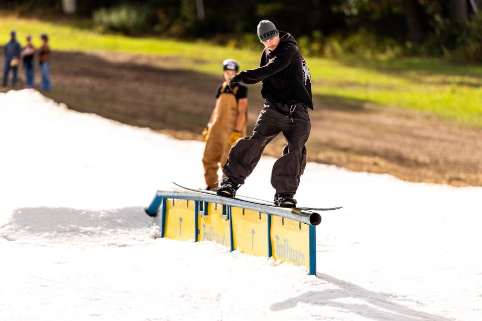
Northern Hemisphere Weekly Snow Roundup #336
Weekly Snow News for Northern Hemisphere, updated 15 October 2026: Three more Austrian glaciers open for 26-27 season; up to 14" (35cm) of snowfall reported high in US Rockies; snowmaking underway with target Nov 6 opening at Tahoe.
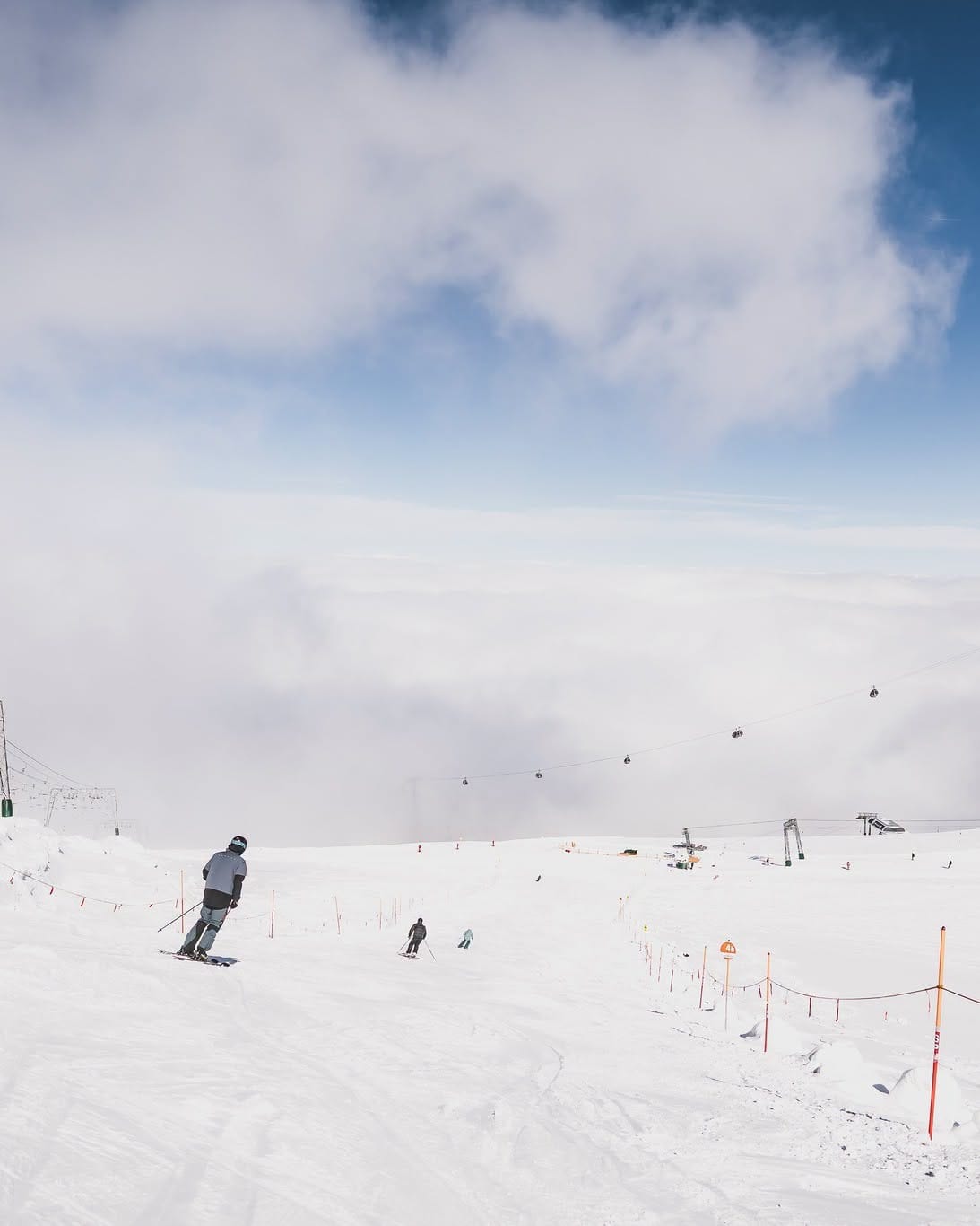
- Three more glaciers open for 26-27 seasons, now 8 open across the Alps.
- Up to 14" of snowfall reported in Utah.
- First snowfall reported in Scotland, Spain and Scandinavia.
- Widespread snowfall reported across the Alps down to as low as 1600m altitudes.
- Snowmaking after snowfall on Tahoe slopes with target opening Nov 6.
Overview
The 26-27 season is starting to gradually gather pace. More and more mountains are seeing fresh snowfall, and with eight glaciers now open in the Alps along with the four centres in Scandinavia, we're officially back into double figures for resort choice across six countries and now outnumbering the remaining tally of centres still operating in the southern hemisphere at the very end of their 2026 season.
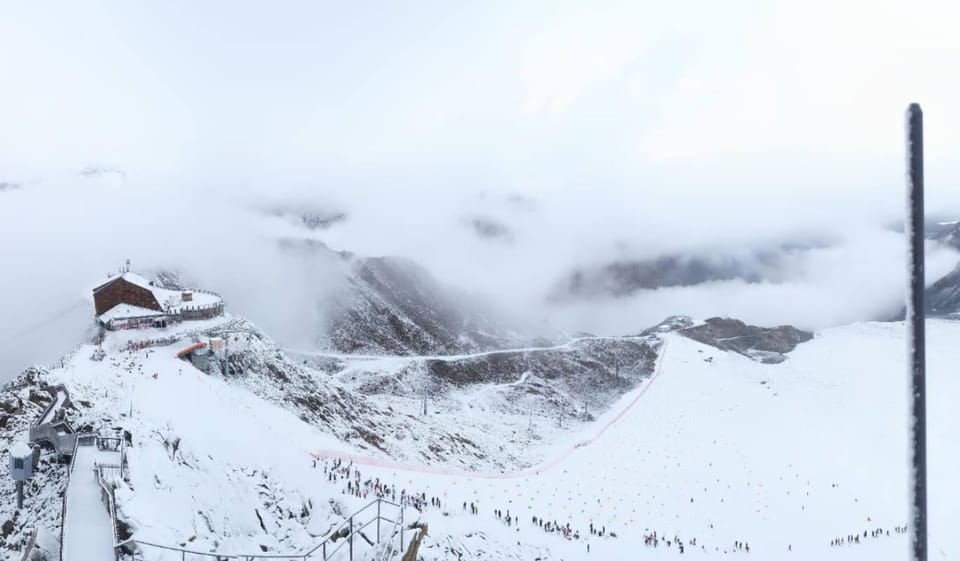
The weekend saw widespread snowfall reported on mountains pretty much right across Europe, from Spanish peaks to the Scottish Grampian mountains and right across Scandinavia and above 1600m in the Alps, with more snowfall on Eastern European mountains over the past few days.
Alps Report
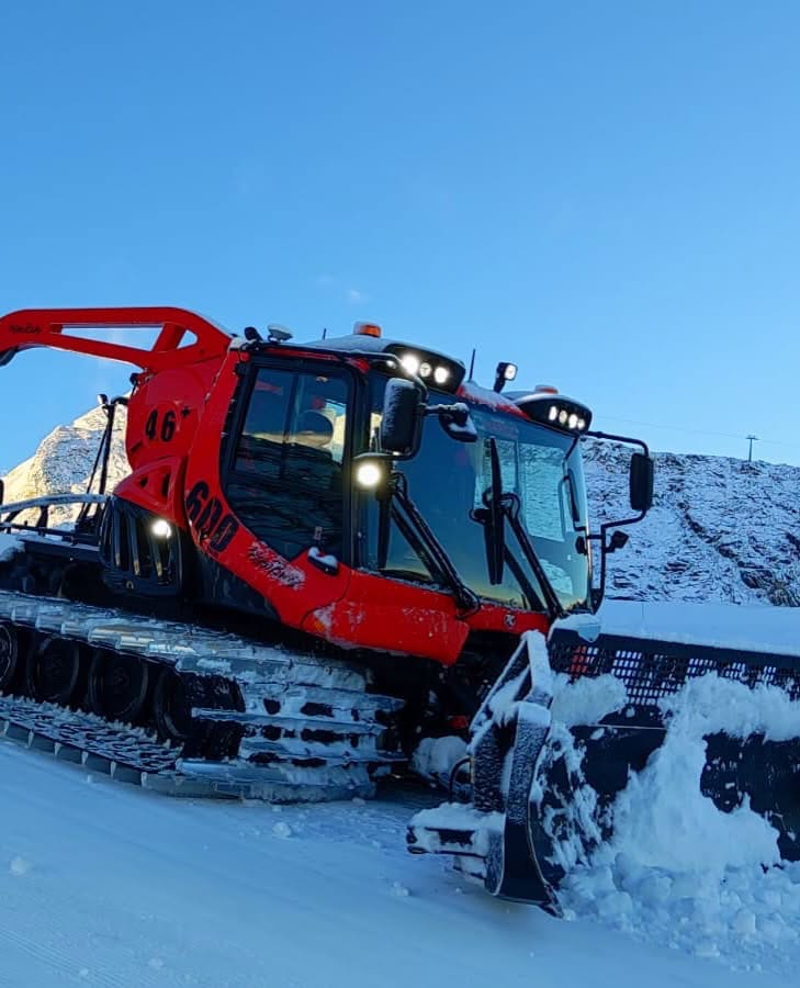
The ski season is beginning to gather pace in the Alps. Alas there's still not been a big dump to really get pulses racing, but the past week has seen 5-15cm (2-6") accumulations above about 1600m right across the region, which did get plenty of social media attention from the skiing and riding community. That's the lowest the snowline has gotten so far this autumn/fall. Three more Austrian glaciers started their seasons at the weekend, taking the total already operating for 26-27 there to five. Solden (0/49cm / 0/20") opened last Friday with fresh snow, three weeks before it's due to host the opening races of the FIS Alpine Skiing World Cup. Hintertux (0/10cm / 0/4") has the most terrain open at present, 18km (11 miles) of slopes, some way behind most of the areas still open in the southern hemisphere for a little while longer. Bases remain thin so far with the maximum upper depth a 50m (20"). With two glaciers open in Italy too and one in Switzerland, we're at eight areas open now, although the formerly year-round operation at Zermatt has now clocked up an unprecedented 10 closed weeks.
Alps Forecast
From Thursday, Alpine ski areas above 2,000m look unusually mild, with many high-altitude resorts reporting daytime temperatures between about 2°C and 10°C. Glacier and very high terrain around 3,000m remains cooler, generally near 1°C to 4°C, though some peaks stay below freezing overnight. Friday remains similarly mild before a notable cooling trend arrives over the weekend, with temperatures falling back towards or below 0°C at higher elevations by Saturday and Sunday. The freezing point is set to move between 2000 and 3700m altitudes. Sunday currently looks most promising for a return to snowfall at high elevations.
Scandinavia Report
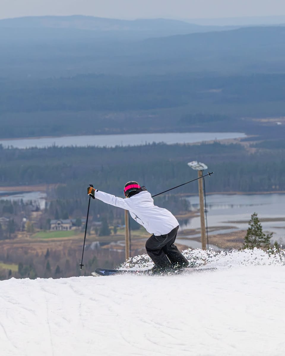
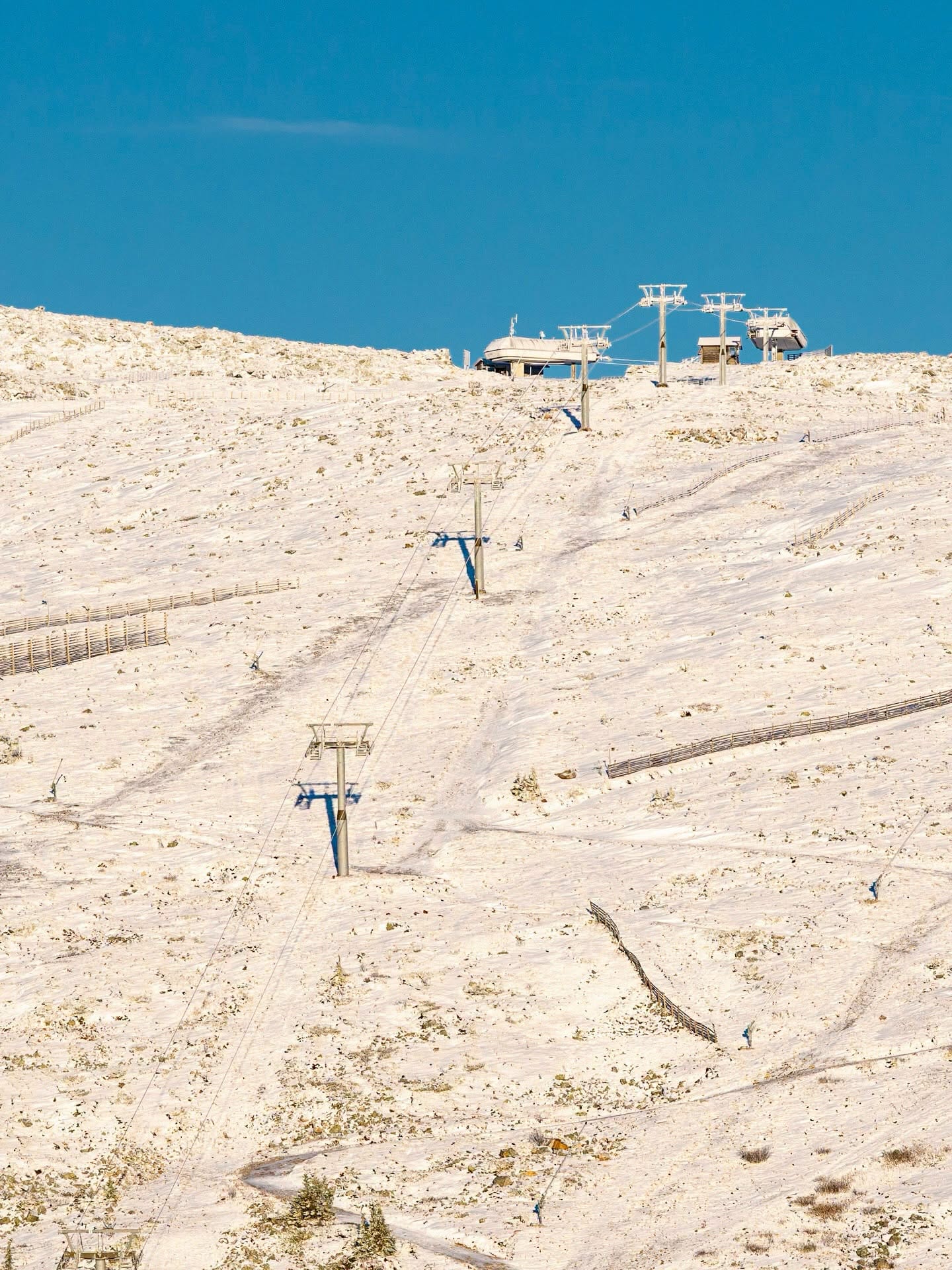
Finland’s two leading resorts of Levi (0/40cm / 0/16") and Ruka (0/40cm/ 0/16") are already two weeks into their 26-27 season, which they kicked off at the start of the month thanks to snow farming. The past week has brought mostly clear, cold weather with daytime highs close to freezing, overnight lows down towards -6C, so good news for both preserving the farmed snow and for snowmaking top-ups as required. Levi still has about 2.5km (1.5 miles) of runs available, Ruka a little less. There has been some natural snowfall as well, with many of the region's resorts posting images of snowfall, in some cases down to base level, at the weekend. Elsewhere, Sweden's Kläppen continues to operate a terrain park with farmed snow, and the Galdhøpiggen Glacier in Norway is open only to teams who have prebooked.
Scandinavia Forecast
Cool, mostly settled weather continues across Scandinavia’s open ski areas. Levi and Ruka stay near or just below freezing with largely cloudy skies and only light flurries possible. Galdhøpiggen remains the coldest, frequently sub‑zero with occasional snow showers and stronger winds. Sweden’s Kläppen and soon-to-open Idre Fjall trend milder, hovering a few degrees above freezing with mixed cloud and limited precipitation. Snowfall chances increase slightly at higher Norwegian elevations later in the period.
North America Report
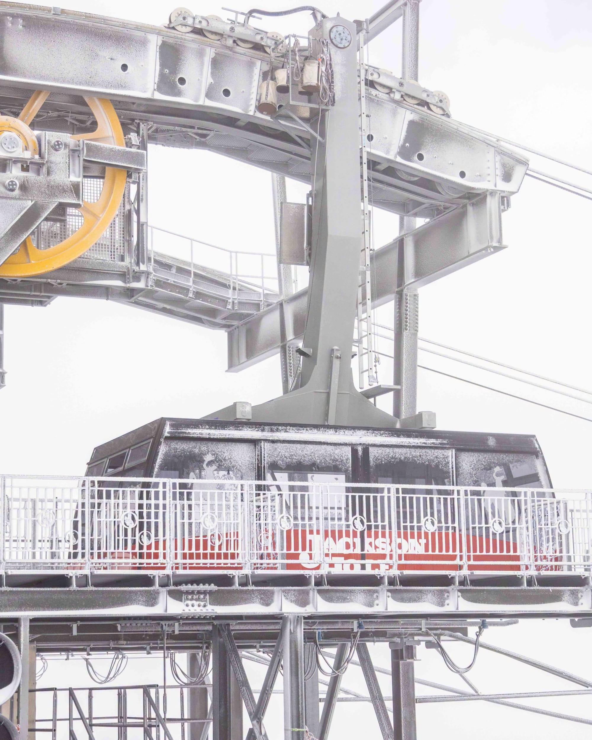
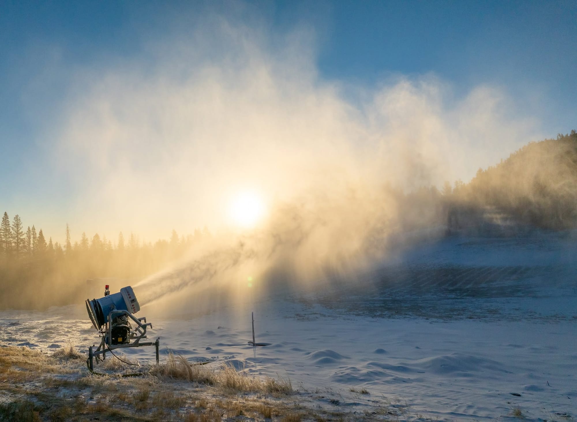
We're still not obviously close to anyone announcing an October opening in North America so far, but there continue to be promising signs with high terrain seeing fresh dustings of snowfall on mountains from coast to coast, albeit particularly in the north and high Rockies. Sunshine and Marmot Basin in Alberta both reported white weekends on their slopes as snowfall covered them again. Parts of Montana saw heavy wet snow tied to Tropical Storm Rachel, which was also credited with bringing at least some snow to high ground in over 20 states. Otherwise, temperatures have fluctuated a good deal but have been cold enough for more test firings across the continent again. Although there's usually somewhere open before the end of October, we are actually now only three weeks off the first scheduled target season opening dates where resorts have actually named the day, albeit with the "if conditions allow" proviso, rather than just going with "as soon as possible". Breckenridge and Copper in Colorado are amongst those targeting the first weekend of next month.
North America Forecast
North America’s mountains face an active week, with several ranges seeing periodic snowfall at higher elevations. Colorado’s high peaks are forecast to receive 6–9 inches (15- 22 cm) through mid‑week, with snow mainly above 9,500–12,500 ft. Major Rockies resorts may see up to a foot over seven days, again mostly above 9,000–11,000 ft. The northern Rockies and Wyoming’s Snowy Range also pick up light to moderate accumulations around 9,600 ft. Lower‑elevation areas in the Pacific Northwest and Northeast stay mixed, with only limited high‑terrain snow. Overall, the best snow chances remain concentrated in the central and southern Rockies at higher elevations.