North America Weekly Snow Roundup #295
Weekly Snow News for North America, updated 31 December 2025: major Christmas storms delivered deep snow to the West Coast and parts of the East.
North America Snow Overview and Ski Conditions 2025/26
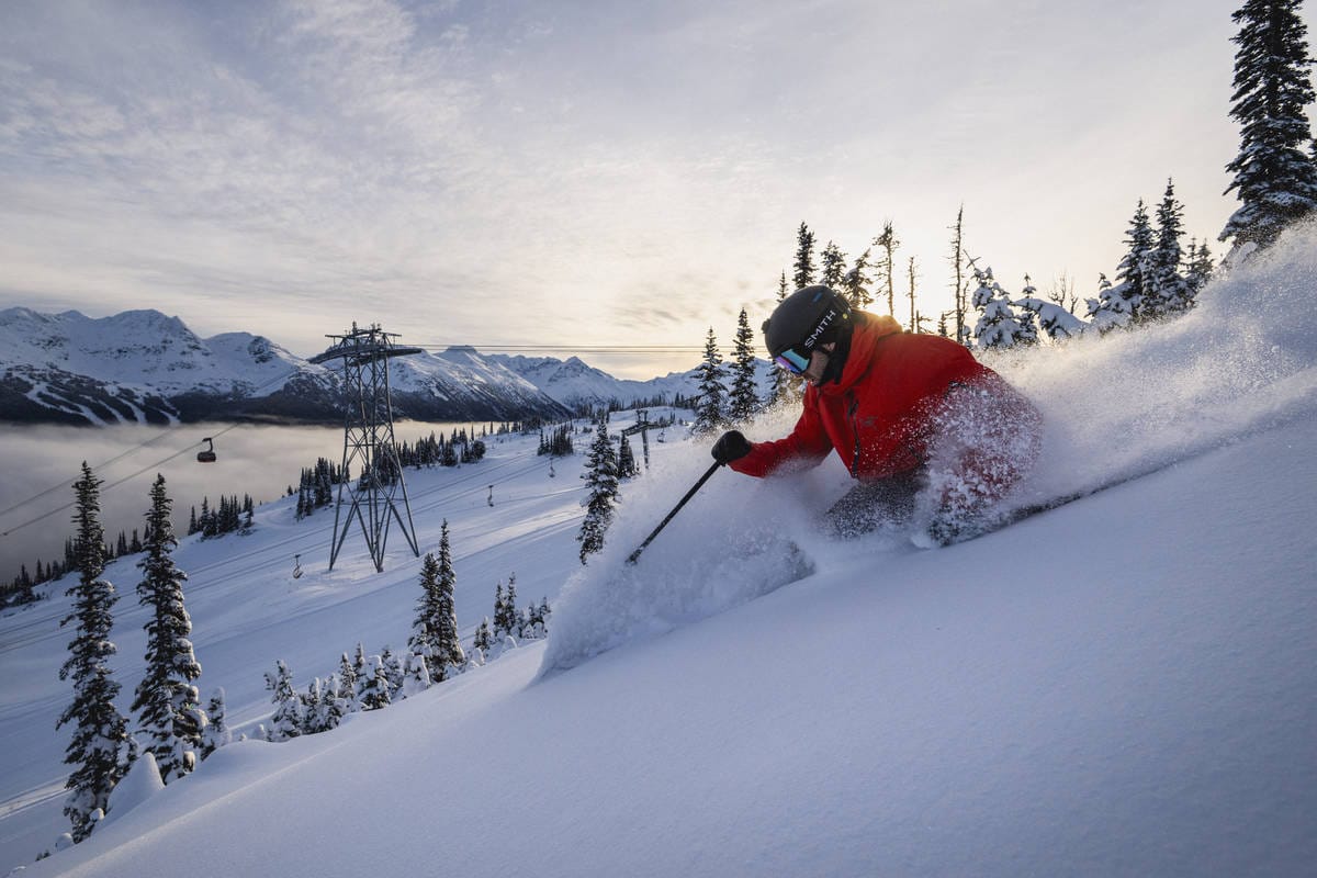
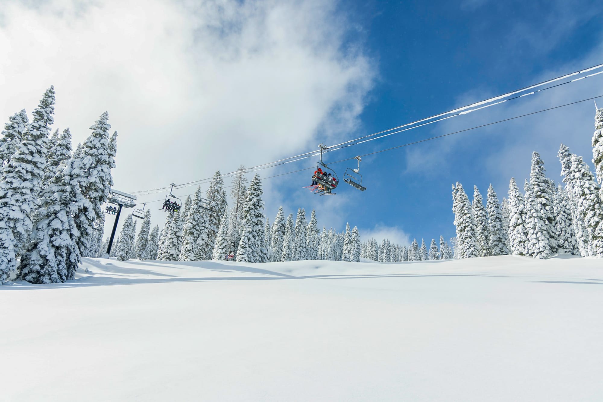
Both the East and West Coasts of North America were hit by stormy conditions at or just after Christmas. The greater impact was on the West Coast, where California, in particular, received huge 4-7 feet (1.2-2.1m) accumulations. This allowed resorts that had been struggling to open much terrain to suddenly open vast swathes of their domains, and those that hadn't opened at all to do so.
That was after the storm's impacts – closed roads, power outages and very high avalanche danger – had been mitigated. There was also significant snowfall in the northern half of the Rockies, with Lake Louise now reporting its snowiest ever November/December period.
There was much improvement for ski areas in Northern Utah, Montana, Wyoming and Idaho, too, but further south, despite some snowfall, big-name ski areas in Colorado and Utah are still struggling to open much terrain as we start the new year.
- Western Canada posts world-leading early-season conditions
- Pacific Coast resorts finally turn colder and snowy
- Inland Rockies continue exceptional run
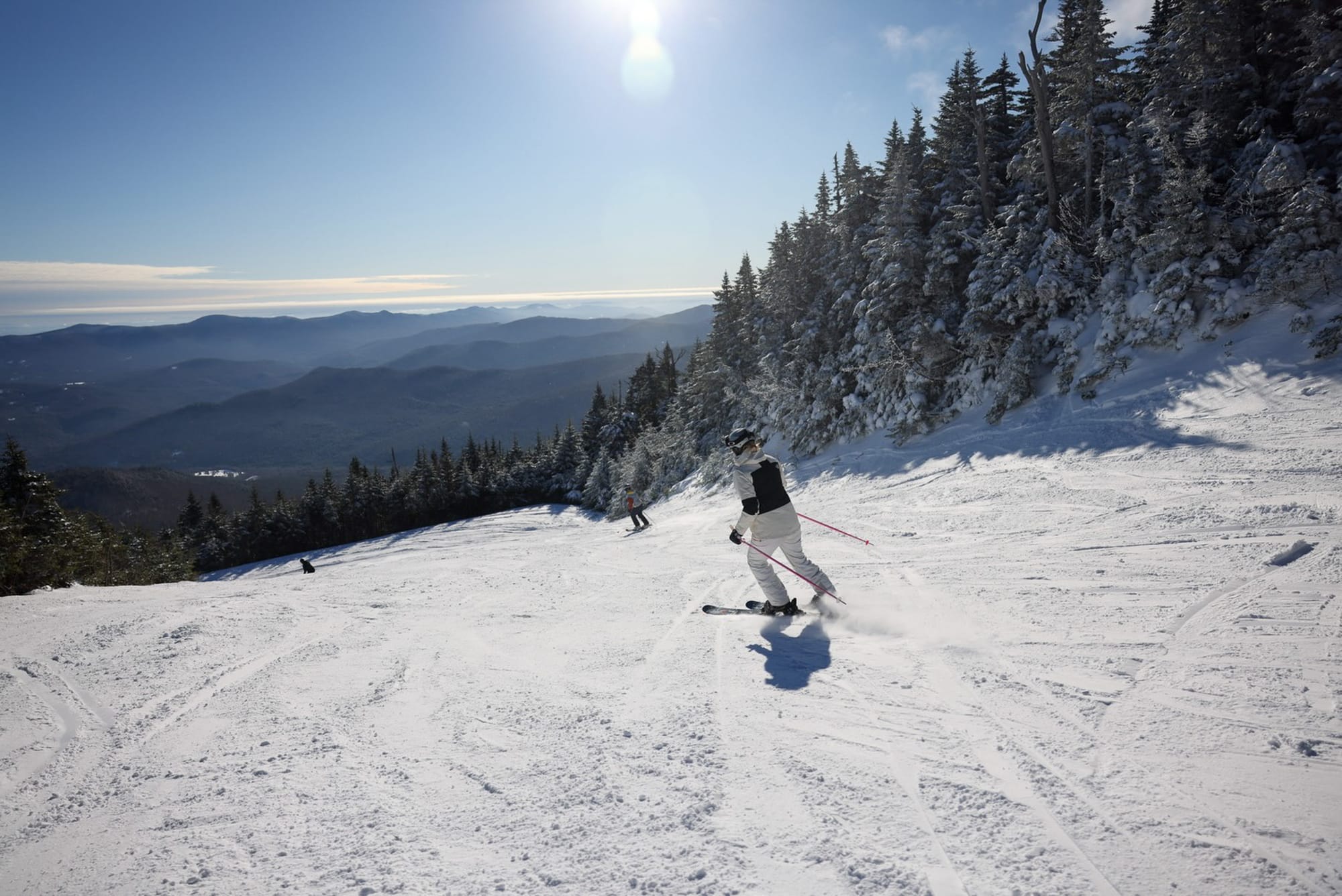
Western Canada Snow Report and Ski Conditions 2025/26
Western Canada continues to post the best conditions in the world at present. Previously, we had to caveat that claim with the fact that BC's Pacific Coast, including North America's largest ski area, Whistler Blackcomb (0/190cm / 0/76"), was missing out on warm, wet weather and little snow.
However, the past week or so has finally brought colder conditions and abundant snowfall here too, so it's up to about 90% open. Inland, though, it remains cold and snowy, as it has for the past two months, so much so that Lake Louise reports a record accumulation topping 5 metres (200") by year-end, its best in more than 75 years.
Western Canada Forecast
There’s no sign of the snowfall train slowing in Western Canada, with consistently cold temperatures forecast and only modest day-to-day variation. In British Columbia, major resorts such as Whistler, Sun Peaks and Big White have summit temperatures between about –7°C and –11°C, with milder bases occasionally rising a few degrees above freezing. Alberta’s resorts remain colder overall, often between –9°C and –15°C at higher elevations. Winds are generally light to moderate, and although widespread heavy snowfall isn’t expected, light top-ups continue in places, helping maintain the great early-season conditions across both provinces.
- Cold, sunny spell follows Christmas snowfall
- Terrain openings expand across Quebec and Ontario
- Deep freeze maintains firm piste conditions
Eastern Canada Snow Report and Ski Conditions 2025/26
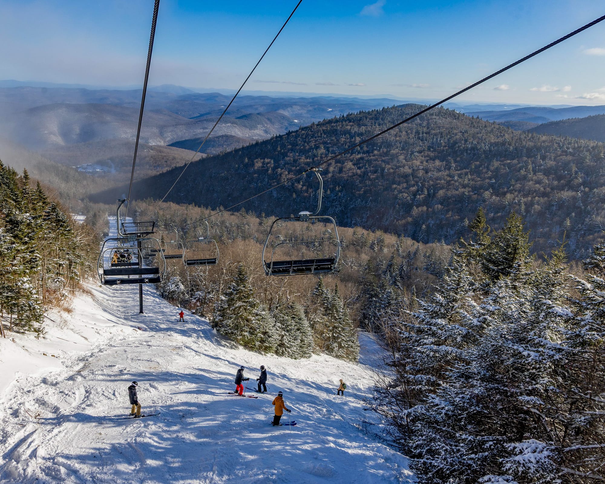
It's been cold and sunny in eastern Canada over the last few days, following some good snowfalls over Christmas. Temperatures have dropped to -20C in the mountains and rarely risen above -10c. The slopes are crisp.
The largest resort, Tremblant (20/40cm / 8/16"), continues to lead in terms of open terrain, with about 90% of its runs open now. Blue Mountain (50/60cm / 20/24") in Ontario is posting the deepest snow cover.
Eastern Canada Forecast
Eastern Canada looks set to remain locked in a deep freeze through the rest of the week, with consistently sub‑zero temperatures from base to summit. Mountain highs are around –6°C to –12°C, while nights plunge to –14°C and, at times, below –20°c. The pattern is mostly dry, though the odd light flurry may drift through Quebec’s higher areas. Winds remain generally light to moderate, keeping conditions manageable on exposed ridges. Overall, it’s a cold, stable spell, which should be excellent for maintaining firm, grippy pistes across Quebec and Ontario’s major ski areas.
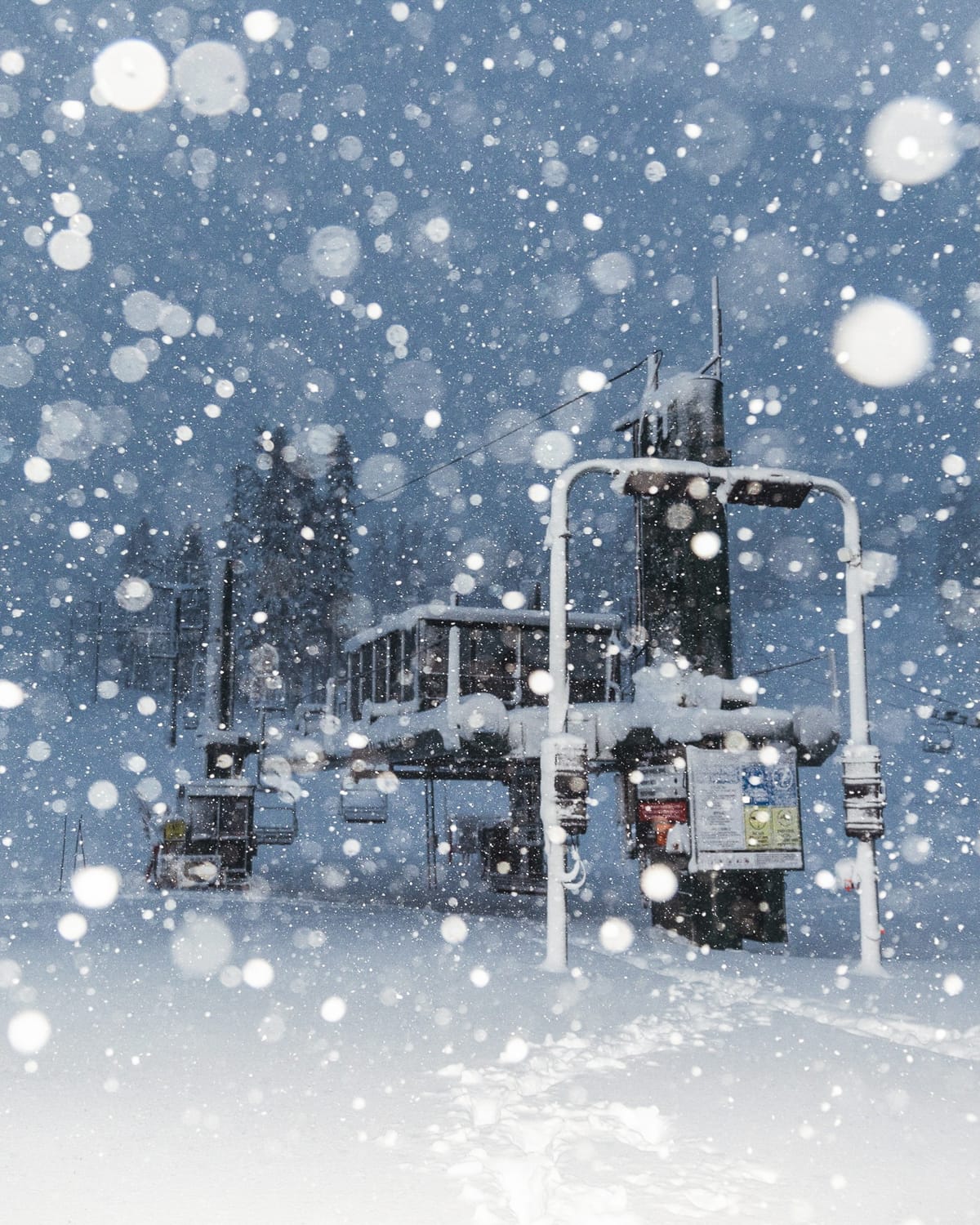
- Christmas storm transforms California ski conditions
- Avalanche danger remains elevated off piste
- Terrain reopening continues after closures
US West Coast Snow Report and Ski Conditions 2025/26
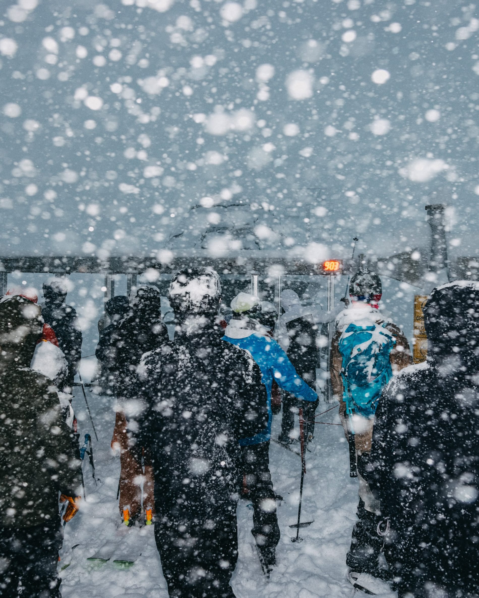
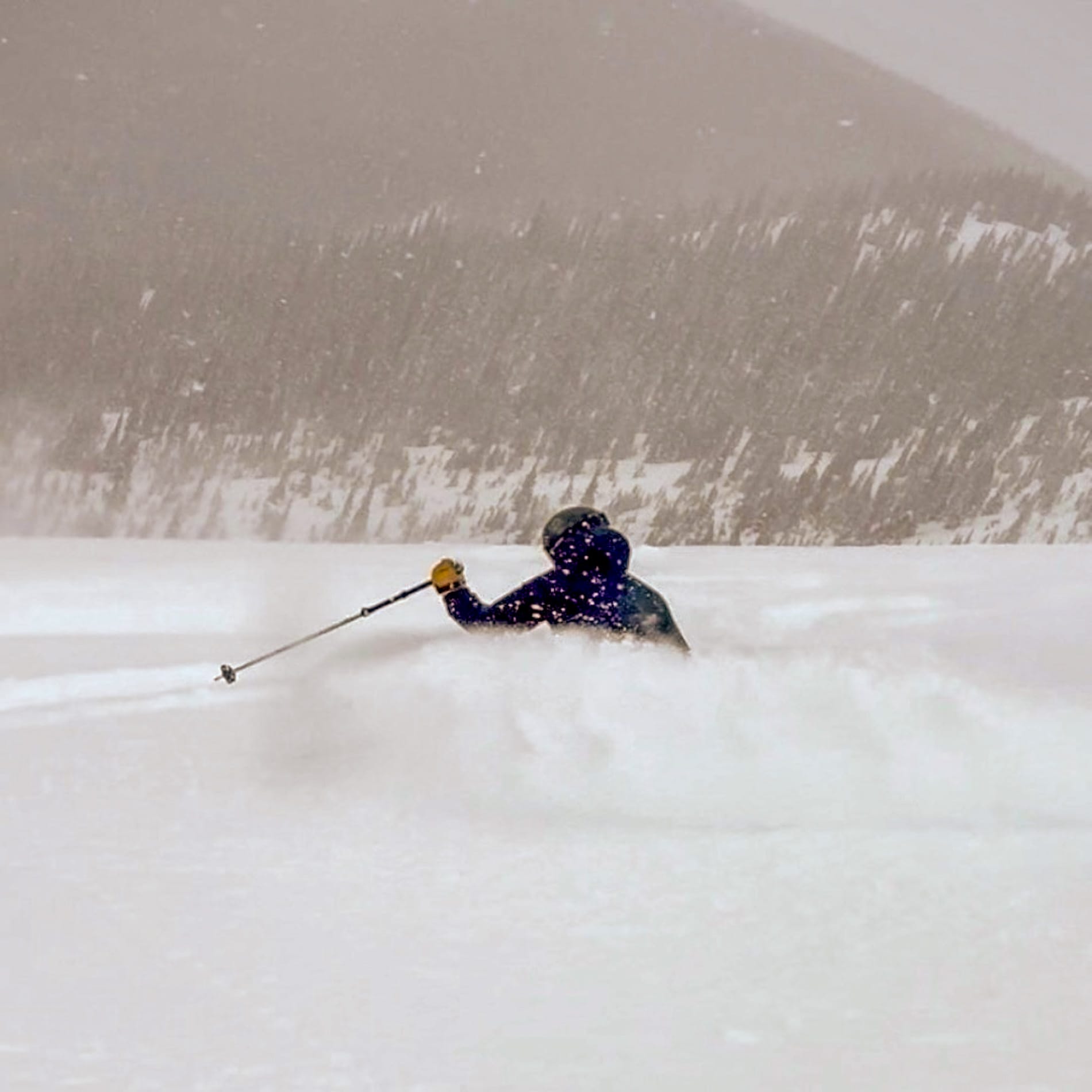
There have been significant changes on the West Coast since snow finally arrived in abundance, particularly in California, where resorts are celebrating after a powerful Christmas storm delivered up to 6 feet (1.8 m) of snow to the Tahoe region, transforming what had been one of the worst season starts on record.
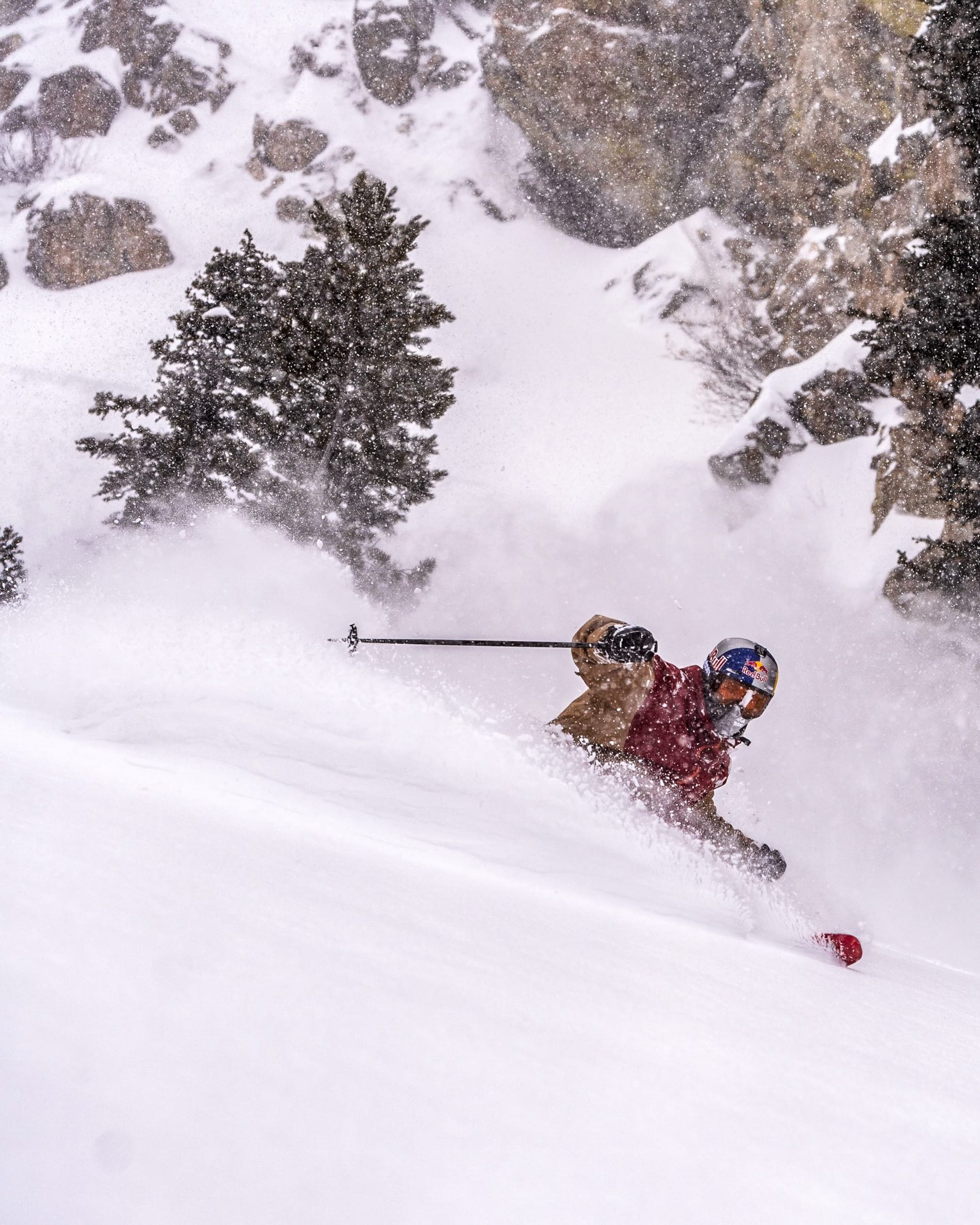
Warm, wet weather had kept many areas closed, with The Palisades running just three of nearly 300 trails before receiving 64” (160 cm) of Christmas snow. Blizzard conditions over Christmas brought closures, avalanche danger and power outages, but skies have now cleared, and terrain is reopening, with warnings about off-piste hazards, including tree wells and avalanche danger.
Mt. Rose reports 90% of terrain open after 6 ft (1.8m) of new snow, while Mammoth, closed for two days due to extreme avalanche risk, which injured two staff workers, one of whom sadly later died of his injuries. The snowfall hasn't been so intense further north, but there have been fresh falls and conditions are improving in Oregon and Washington state, too.
US West Coast Forecast
Mixed conditions through the rest of the week. Washington and Oregon should see frequent light snowfall, with summit temperatures often ranging from about 27–14°F (–3°C to –10°C) and base temperatures hovering near or just above freezing. California’s higher Sierra resorts swing between brief mild spells and colder incursions, with mountain temperatures fluctuating from roughly 23–36°F (–5°C to 2°C). Winds vary from light to moderate, occasionally stronger over exposed ridges. Overall, it’s a changeable but supportive setup for maintaining and gradually improving snow cover across the region.
- Rockies remain mixed despite fresh snowfall
- Major destinations still largely closed
- Northern ranges outperform southern areas
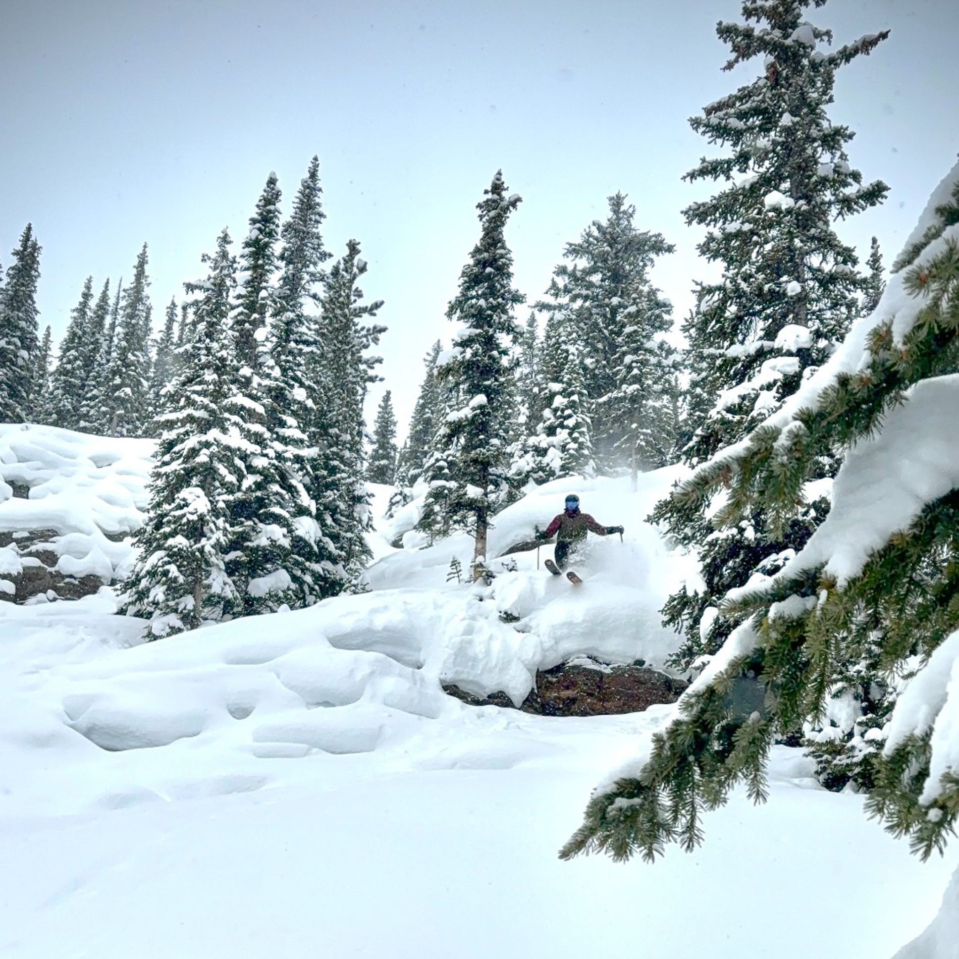
US Rockies Snow Report and Ski Conditions 2025/26
A mixed picture across the Rockies, and unfortunately, despite some fresh snowfall this week, it's still not a great one. The region has seen a few inches of snow, with some areas recording 7-day totals of more than a foot, but for most it hasn't been enough to change things much yet.
We remain with many big-name destinations still with less than 10% of their slopes open in the busiest weeks of the season, including the country's largest, Park City (22/22" / 55/55cm). However, ski areas in the northern US Rockies and in the far south of the region remain in better shape.
Montana's Whitefish Mountain Resort (13/62" / 35/155cm), for example, has almost 90% of its slopes open.
US Rockies Forecast
Remaining mostly dry across the Rockies. Mountain temperatures vary widely, with colder northern areas dipping towards single digits°f and warmer southern zones experiencing occasional freeze–thaw cycles, reaching the mid-30s°f at times. Nights remain much colder, often falling below 10°f. Winds range from light to fresh, with stronger gusts on exposed ridges, especially in Montana and Wyoming. While widespread heavy snowfall isn’t expected, light top-ups continue.
- Midwest maintains machine-groomed snowpacks
- Post-Christmas blizzard boosts conditions
- Snowmaking benefits from cold pattern
US Midwest Snow Report and Ski Conditions 2025/26
Despite reports of some “clear snow” (also known as rain) at times, most ski areas across Michigan, Wisconsin, Minnesota and Ohio maintain firm, machine groomed snowpacks, with recent light top ups in places such as Wisconsin and Michigan.
A blizzard just after Christmas helped improve conditions, although it also led to power outages that closed some ski areas, including Trollhaugen, for a day or two. Michigan's Ski Brule (40/60” / 100/150cm) posted a foot (30cm) of fresh snowfall in the 24 hours leading up to Tuesday morning and has the region’s deepest reported snowpack. 95% of its slopes are open.
US Midwest Forecast
Remaining in a cold, fairly stable pattern through the rest of the week. Temperatures remain consistently below freezing, with daytime values often in the 10–25°F range and colder nights dipping into the single digits. Winds stay mostly light to moderate, keeping conditions manageable on exposed hills. While no major storms are expected, occasional light snow showers continue to refresh surfaces. Temperatures and humidity levels should be good news for snowmakers.
- Northeast storm delivers heavy snowfall
- Cold air preserves light, dry snow
- Terrain openings expand across Vermont
US East Coast Snow Report and Ski Conditions 2025/26
A powerful winter storm swept across the Northeast at the start of the week, bringing a fresh blanket of snow to New England’s ski regions. Heavy snow fell at rates of 1–3 inches (2.5–7.5 cm) per hour. Totals quickly climbed past 10 inches (25 cm) in some areas.
Colder air followed the storm, keeping the snow light and dry, ideal for skiing. Northern New England saw a mix of snow and freezing rain, particularly from upstate New York through Maine, creating variable surfaces but boosting overall base depths.

Vermont’s Killington (16/24” / 40/60 cm) has about two-thirds of its terrain open, the most in the region; Smugglers' Notch (16/40” / 40/101 cm) is posting the deepest snow cover and has over 80% of its slopes open now.
US East Coast Forecast
The region should remain in a sharp, cold spell through the rest of the week. Summit temperatures across Vermont, Maine and New York range from about 7°F to –9°F, with base areas around 14°F to 30°f. The pattern remains mostly dry, though a few light flurries may brush higher peaks; however, conditions should support continuous snowmaking across the Northeast. Winds should remain light to moderate, keeping conditions manageable even on exposed ridges.