North America Weekly Snow Roundup #289
Weekly Snow News for North America, updated 19 November 2025: fresh storms improve early-season cover as US and Canadian resorts expand terrain.
- Storm cycles build deeper early-season base in the West
- Rockies ski areas expand terrain with fresh snow
- Canadian resorts report improving coverage and colder temps
- More lifts opening ahead of US Thanksgiving week
North America
North America Update
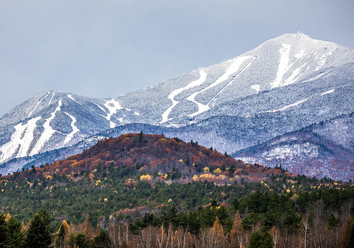
Ski areas in opposite corners of North America, the Northwest and Southeast, have reported the best conditions on the continent over the past few weeks. The northwest has experienced the most snowfall, while the Southeast has seen its coldest early November temperatures on record. However, warmer-than-usual weather has been an issue in most areas, delaying some resorts’ openings in the Rockies (although several, including Vail, have opened on schedule) and in California, where Mammoth has postponed its opening by a week after a forecast storm failed to deliver much snow. Even in Alberta, Canada, Jasper’s Marmot Basin announced a delay in the start of its season.
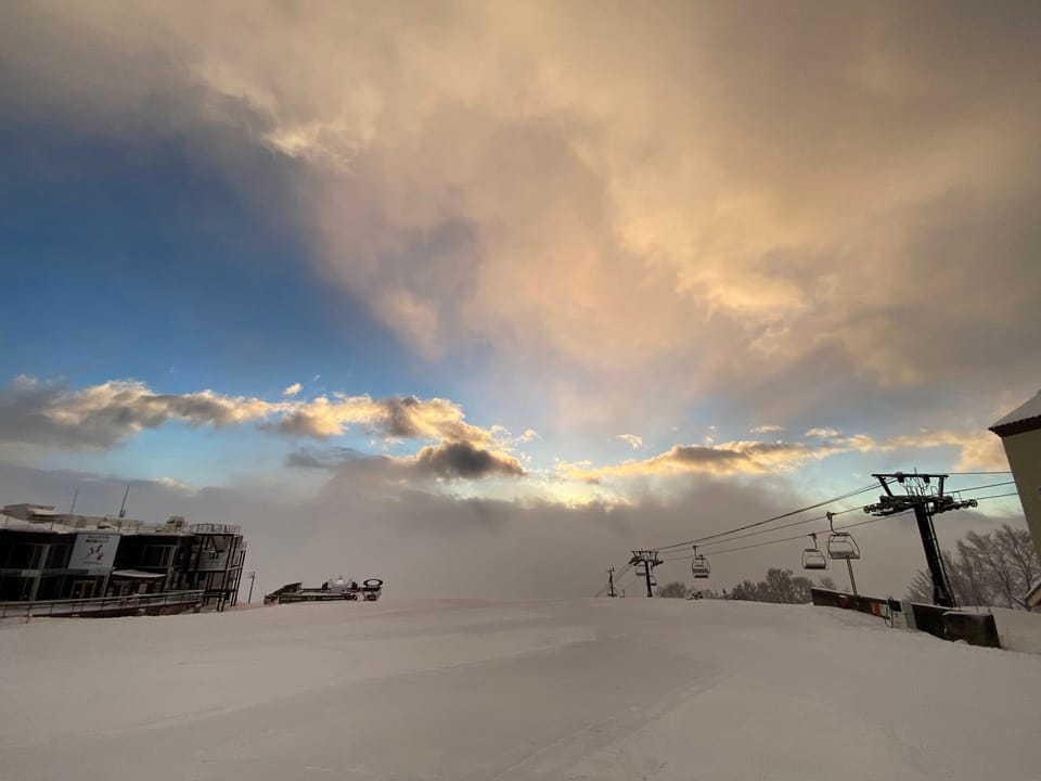
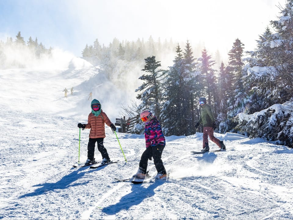
Conditions look more promising in New England, where multiple resorts are already open top-to-bottom following a prolonged cold and snowy spell. The Midwest experienced warmer weather after its cold snap, but resorts that had opened have remained open so far. Overall, about 20 ski areas are now open across North America, with the US set to have the most open areas in the world, and Colorado boasting the highest number of open areas in the country, the continent, and the world. Current monitoring shows that two headline US Rocky Mountain resorts, Vail and Arapahoe Basin, have 46 cm of snow at both upper and lower elevations, with 4 and 1 lifts running respectively, while the likes of Mammoth Mountain, Alta, Heavenly and others have seen some fresh snowfall but remain closed for now.

CANADA WEST Snow Report and Ski Conditions 2025/26
Although there has been warmer weather in parts of western Canada than many resorts would like, initially delaying the opening of several ski areas including, currently, Jasper’s Marmot Basin, there has been more fresh snowfall and lower temperatures in recent days. Banff’s Sunshine (30/110cm / 12/44”) ski area continues to have the most terrain open in North America, as well as the deepest snowpack, at present. Fellow Albertan ski area Nakiska (25/30cm / 10/12”) has also opened for the season, joining the other two already-open Banff-area resorts, Mt Norquay (30/35cm / 12/14”) and Lake Louise (45/60cm / 18/24”).
Meanwhile, on the West Coast of BC, ski areas including Whistler have been recording some very healthy pre-season snowfall, ahead of their 25-26 season start later this week on November 21st. Updated figures for the six monitored Canadian resorts show Sunshine Village with 9 of 10 lifts running and an upper base of 109 cm (56 cm lower), and Lake Louise with 5 of 9 lifts operating and 56 cm at the top, while other monitored resorts such as Whistler and Marmot Basin remain closed with little or no settled base so far.
CANADA WEST Weather and Snow Forecast
Western Canada ski resorts can expect colder air and fresh snowfall over the next few days, with up to 20cm (8 inches) anticipated on higher slopes in some locations. A series of Pacific weather systems will bring intermittent snowfall and falling temperatures across BC and Alberta ski regions. Daytime highs at ski resorts will range from -2 to 4°C, with overnight lows sub-zero.
CANADA EAST Snow Report and Ski Conditions 2025/26
Eastern Canada is currently experiencing a chilly transition into winter, with ski areas seeing early-season snow and temperatures dipping below seasonal norms. Daytime highs have been around 5–8 °C, and lows have been near freezing, colder overnight, of course. Snowfall has begun in earnest across Quebec and Atlantic Canada. Quebec’s Sommet Saint-Sauveur (0/20cm / 0/8”) has already opened limited terrain and bigger centres, including Mont Tremblant and Le Massif, are prepping for early openings, with both natural and machine-made snow.
CANADA EAST Weather and Snow Forecast
Unfortunately, milder weather, with periods of rain and above-freezing temperatures, is expected for ski areas in Ontario and Quebec, with daytime highs reaching 11°C by Saturday. There may still be some light snowfall at higher elevations midweek, but rain and warmer air will dominate by Friday and Saturday. Freezing levels will rise above 1500m, limiting snowmaking and natural accumulation. In the longer term, colder air is expected to return next week.