North America Weekly Snow Roundup #285
Weekly Snow News for North America, updated 22 October 2025: Big early dumps hit BC and Alberta, while Colorado resorts ramp up snowmaking ahead of imminent openings.
- Colorado resorts prepare for imminent openings as snowmaking ramps up.
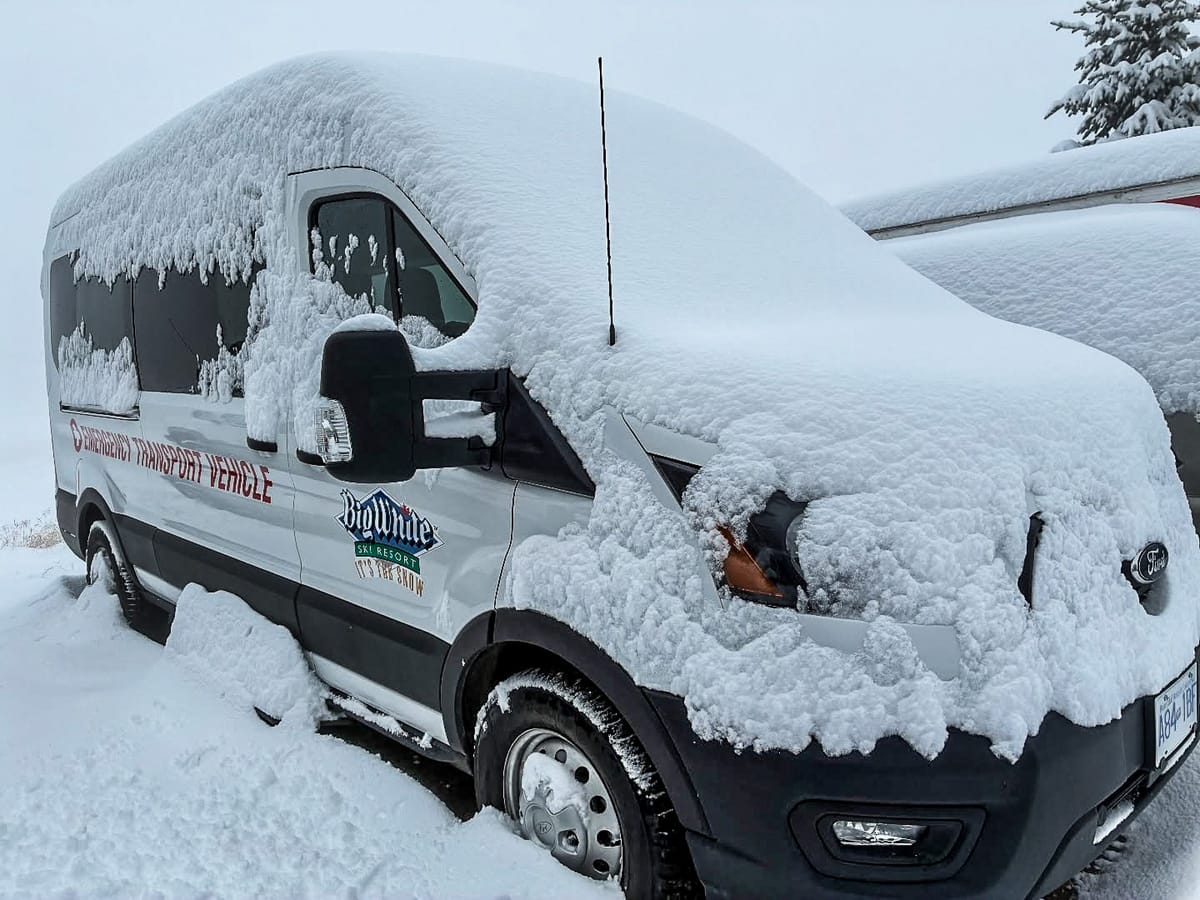
- British Columbia and Alberta receive up to 30cm (12") fresh snow.
- Mt. Rose Tahoe records more than a foot of snowfall.
- La Niña influences early cold and snow across western ranges.
North America Ski Season Update and Conditions 2025/26
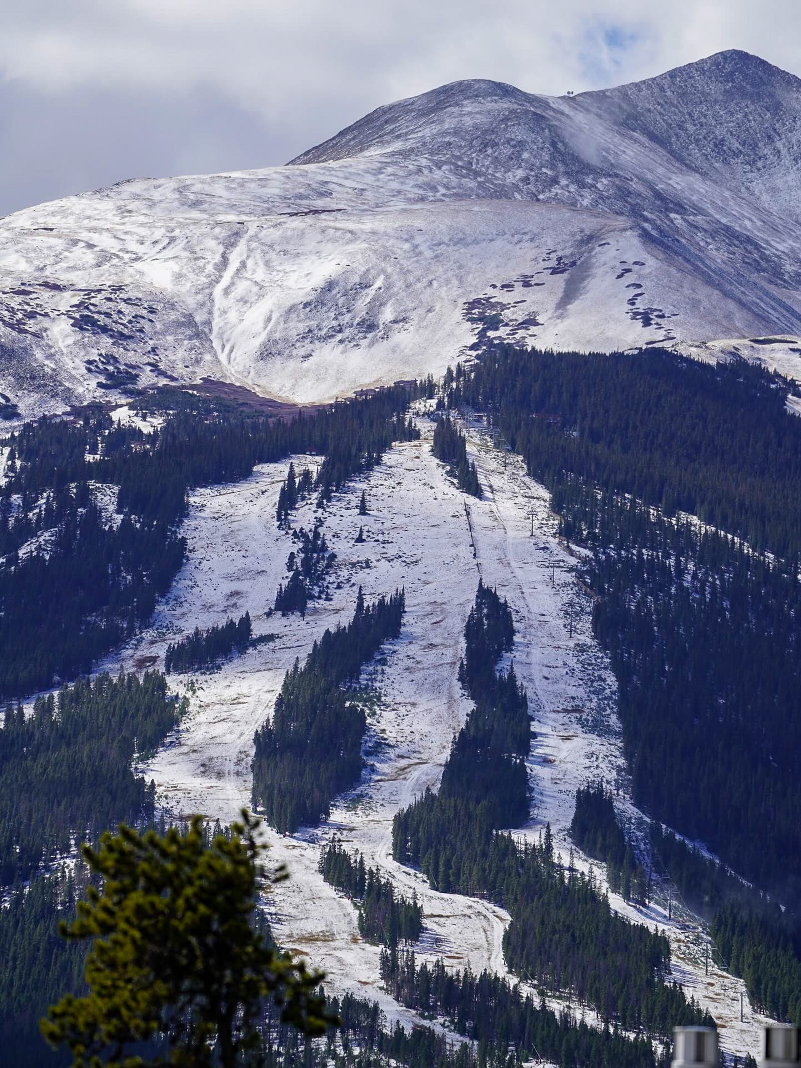
After the snowstorm that struck northern and western North America last week to boost pre-season excitement levels, attention has shifted to high-altitude centres in Colorado. Here, a period of persistent cold, dry days and nights has enabled altitude resorts to commence consistent base-building snowmaking. "Now is the time to get excited," a statement from Arapahoe Basin proclaimed on Friday, with further indications that their season start could be very imminent. Copper Mountain, Keystone, and Loveland have all been making snow with an eye on early openings.
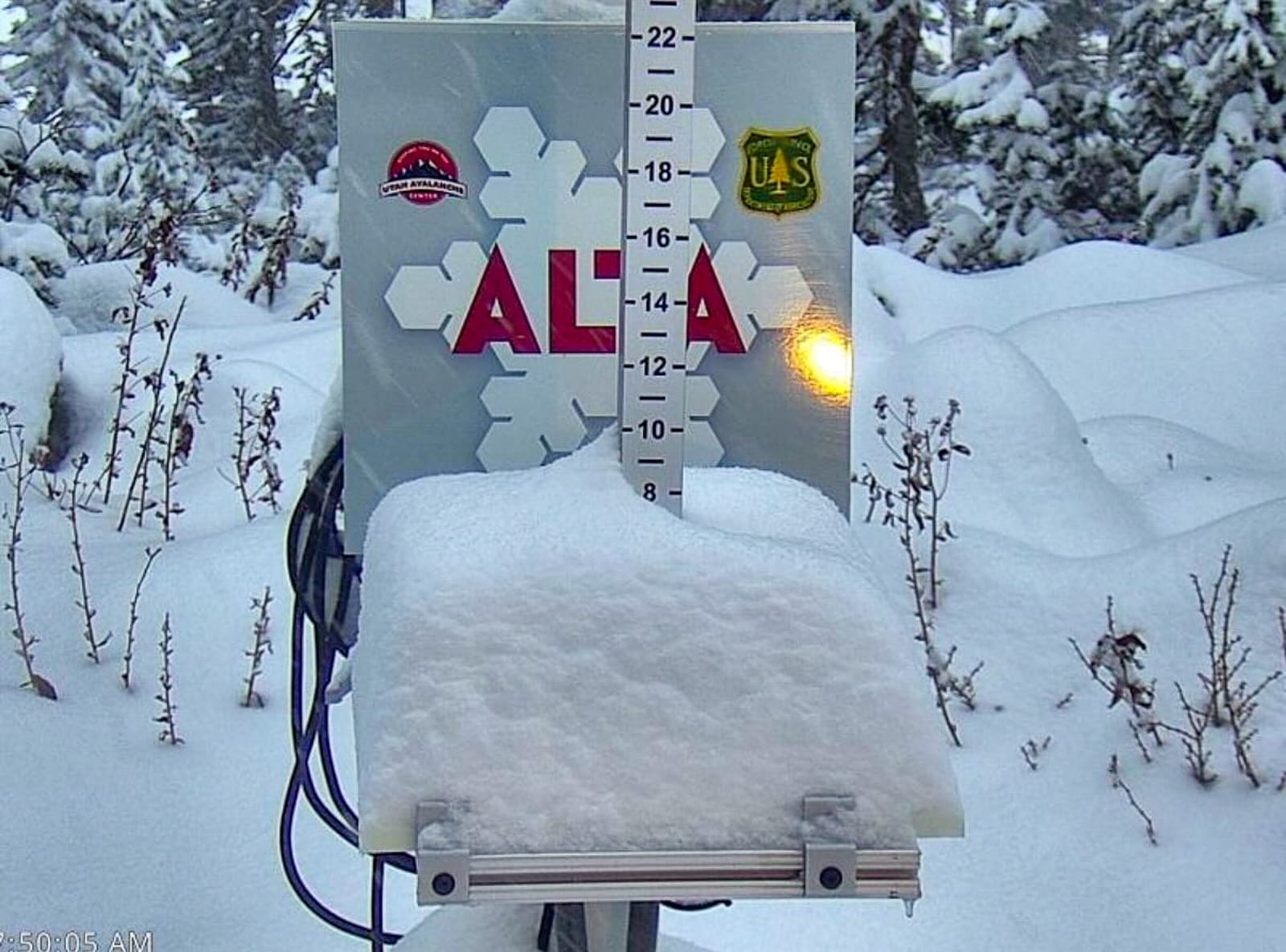
The multi-day storm hitting North America’s West Coast last week became the largest so far this autumn, dropping up to 45cm (18”) of snow. Mt. Rose Ski Tahoe, the highest resort in the Tahoe region, was among the biggest winners with more than a foot (30cm) of snow. It plans to open on 8 November. The resort sits at 8,260 feet (2,520m) at its base and 9,700 feet (2,960m) at its summit, providing reliable early-season snow.
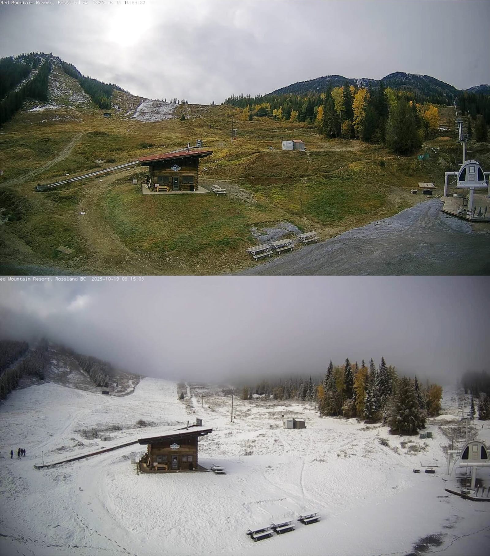
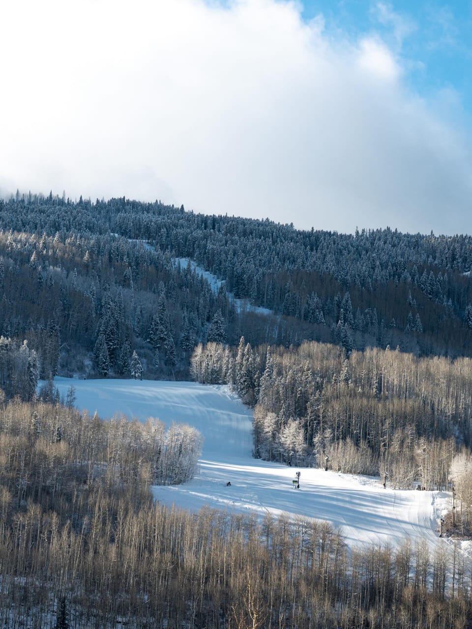
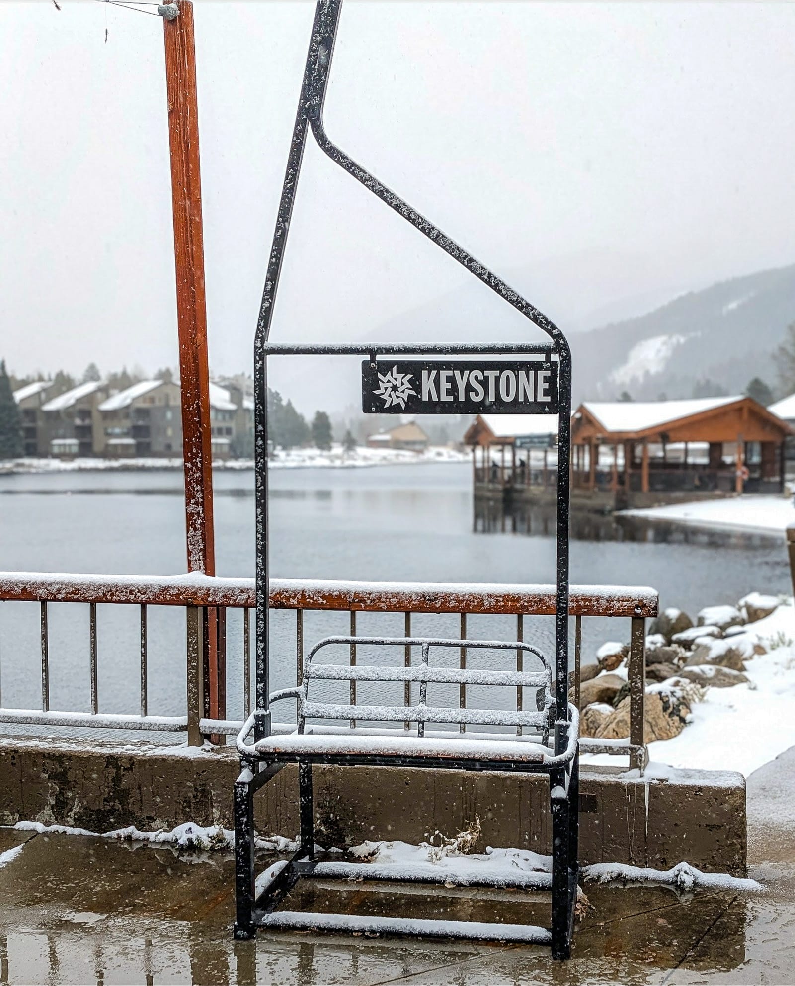
The freshest snowfall this week fell north of the border, with Revelstoke reporting a 30cm (12”) accumulation on Sunday. Alberta and BC ski areas also reported good dumps. Resorts around Banff, including Lake Louise, Sunshine, and Nakiska, are targeting the first weekend of November to open.
North America Weather and Snow Forecast
A mixed early-season pattern continues across Canada and the USA, bringing a combination of colder air, scattered snowfall, and intervals of sunshine.
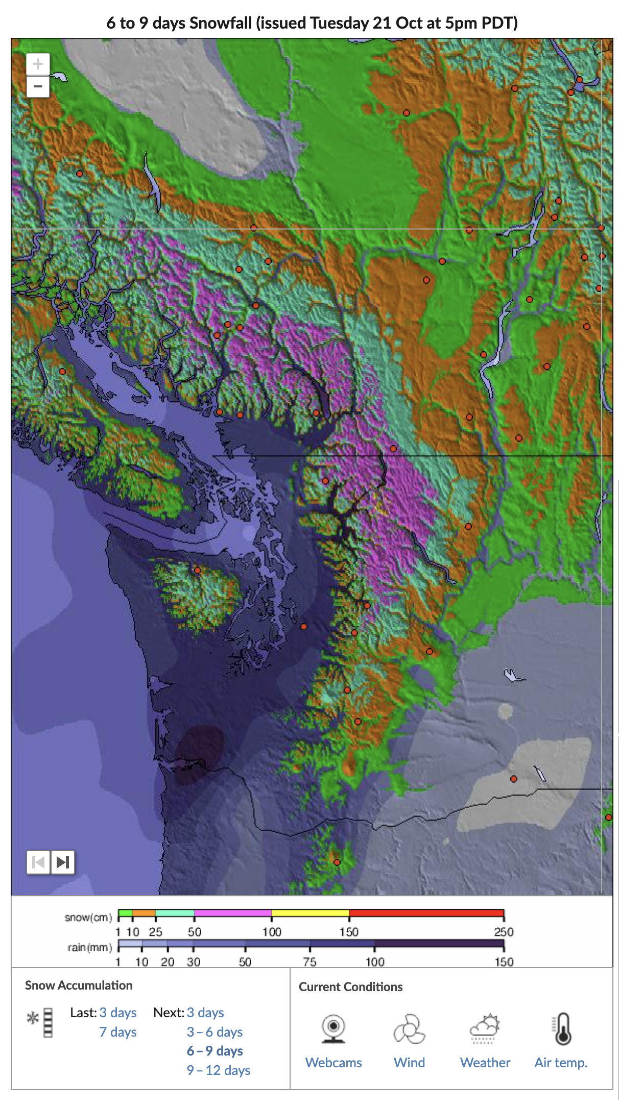
A weak La Niña signal is beginning to take shape, favouring cooler, wetter conditions across British Columbia and the Pacific Northwest. Freezing levels will drop to around 1,500–1,800 metres, supporting light to moderate snowfall midweek, especially over higher terrain in coastal and interior BC.
Farther inland, the Rockies and Wasatch Range can expect occasional flurries and light accumulations, while the Northeast remains mild with periods of rain as Atlantic moisture dominates. In contrast, Colorado’s high-elevation resorts will enjoy excellent snowmaking conditions, with overnight lows well below freezing and low humidity.