North America Weekly Snow Roundup #290 – Thanksgiving Storm Cycle
Weekly Snow News for North America, updated 26 November 2025: Thanksgiving storms deliver early-season snowfall across Canada and the USA.
- Thanksgiving storms boost US Rockies and West Coast
- Canada West opens big terrain with deep early snow
- East Coast turns wintery with strong snowmaking
North America Snow Report and Ski Conditions – Week Ending 26 November 2025
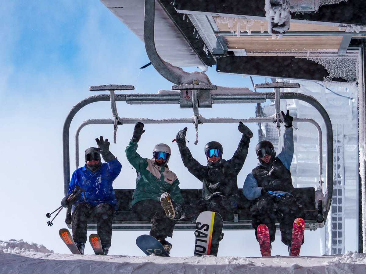
NORTH AMERICA INTRO | With the Thanksgiving holiday weekend almost upon us, there has been a last-minute surge among North American ski areas, particularly in the US, to open. Many regions across the continent have benefited from a return to colder, snowier conditions, but it remains a typical mixed picture for this time of year, with some areas opening earlier than planned, while others are delaying their expected start date due to insufficient snow cover. The US, however, is leading all other nations in terms of the number of ski areas open, with the first centres in numerous states, including Arizona, California, Montana, Nevada, and Utah, having commenced their 25-26 seasons over the past few days.
North of the border, North America's largest ski area, Whistler Blackcomb, kicked off its season, whilst Eastern Canada's largest plans to join it later this week.
Canada West Snow Report and Ski Conditions
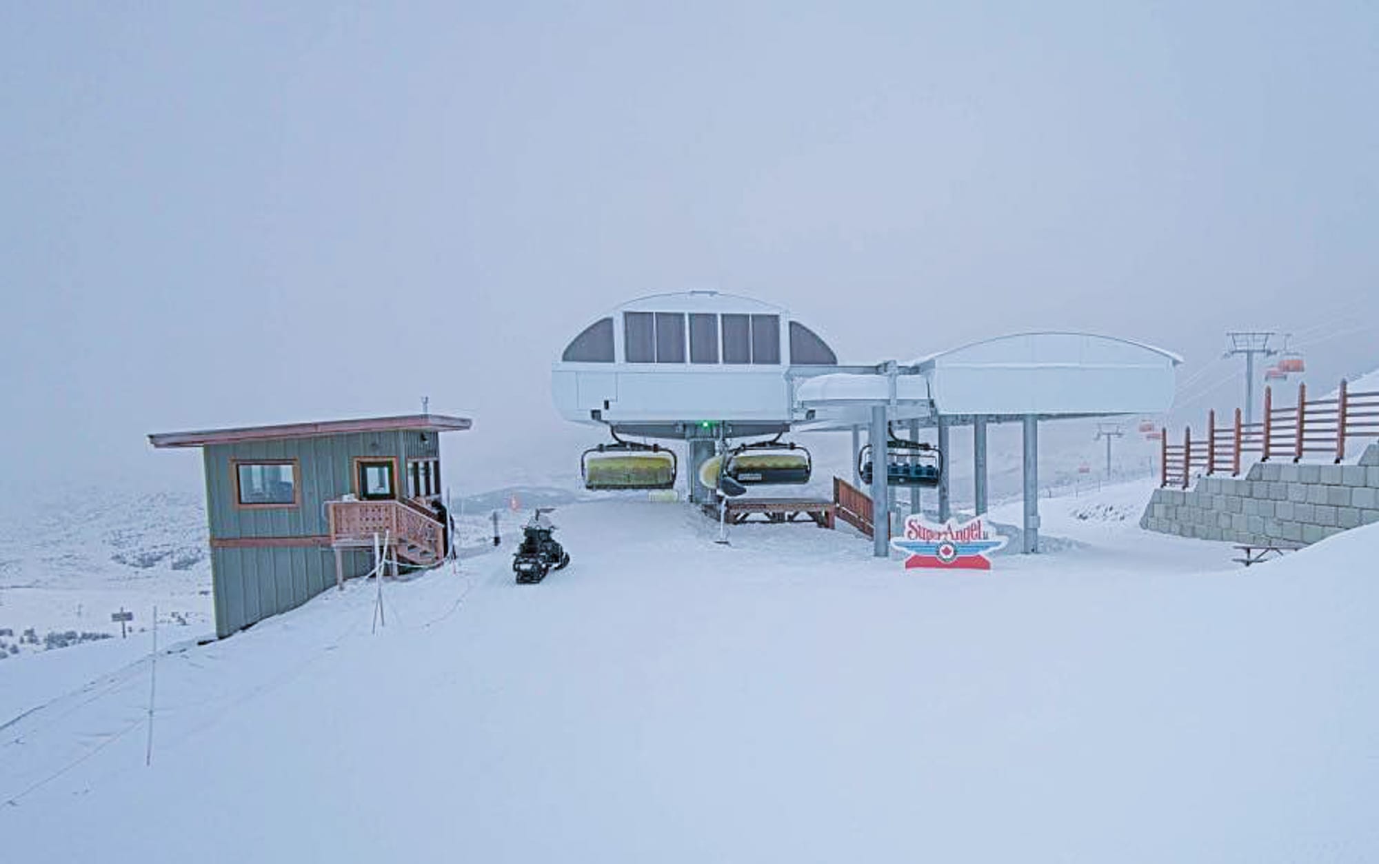
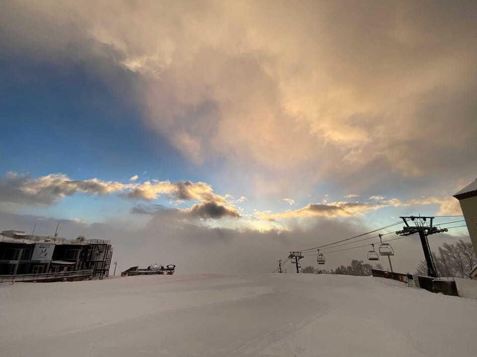
CANADA WEST REPORT | The major news from Canada this week, arguably, is the North American continent's largest ski area, Whistler Blackcomb, starting its 25-26 season. Despite posting impressive pre-season snowfall totals earlier this month, its initially open terrain served by the Blackcomb Gondola, Excalibur Gondola, and Jersey Cream Express was limited. The resort warned that early season conditions exist and advised skiers to stay on marked runs and not to venture off Wishbone. So for now, Banff's Sunshine (30/103cm / 12/41") continues to have the most terrain open in the country, with about 40km (25 miles) of slopes available and over 70 individual runs already skiable, along with some of the deepest snow cover.
Marmot Basin (after some delays) and Revelstoke are among the resorts opening this week.
CANADA WEST FORECAST
Western Canada’s mountains will experience regular snowfall and cold air over the next few days. In British Columbia, Wednesday starts crisp with scattered showers above 1,600 m, while Thursday brings more widespread snowfall. Friday becomes brighter, with sunshine and sub-zero nights helping to preserve the cover. By Saturday, a stronger front will bring heavier snowfalls and gusty winds, especially in the Rockies around Banff and Lake Louise.
Canada East Snow Report and Ski Conditions
CANADA EAST REPORT | The outlook remains quite promising in Eastern Canada, where the season has not yet truly begun, but the region's largest resort, Mont Tremblant, is scheduled to open for its season on Thursday. A strong storm has already brought fresh snow, with around 20cm (8 inches) recorded at higher elevations, and generally cold temperatures have helped to preserve the base. Daytime temperatures have been hovering close to freezing and dropping below overnight to aid snowmaking. Sommet St Sauveur (25/30cm / 10/12 inches) is currently the only open ski centre in the region, thanks to its snowmaking capabilities, with reports of 3km (2 miles) of slopes initially available.
CANADA EAST FORECAST
Across Ontario, Québec, and Atlantic Canada, forecasts indicate ongoing winter weather for the remainder of this week. There will be scattered light precipitation midweek, shifting to snow at higher elevations. Later in the week, Quebec’s Laurentians will experience accumulating snowfall. Friday will turn even colder, with significant snowfall expected in central and eastern Quebec, while Ontario may see flurries. The weekend will bring heavier snowfalls, especially in Quebec and parts of Atlantic Canada, accompanied by gusty winds.
US West Coast Snow Report and Ski Conditions
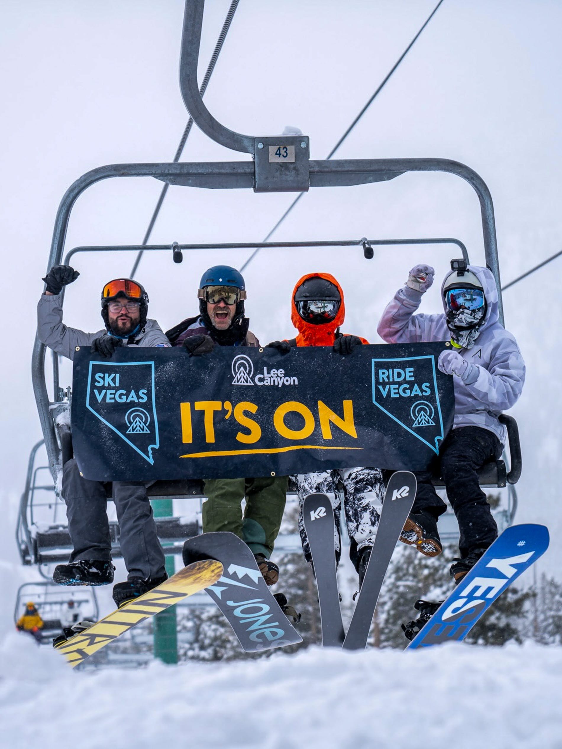
Heavy snow at Lee Canyon
US West Coast Report | There has been some snowfall and colder temperatures on the West Coast, but not a large amount for most areas, so it's a case of some regions managing to open with a thin base, while others are delaying. The first to open was Mammoth Mountain (15/75cm / 6/30”), a week later than planned, but it reported more than 50 slopes open from day one. At Tahoe, Heavenly and Northstar were among the areas announcing they wouldn't be opening as hoped over the weekend due to inadequate cover, with no new target date given. "Despite those dedicated efforts, Mother Nature arrived fashionably late to the party, so we will not hit our originally targeted openings this Friday.
The good news is that snow and colder temperatures have arrived, and the forecast looks promising," a statement from Vail Resorts said. Heavenly has now opened, but early visitors report thin coverage and not many runs open. However, the region’s highest resort, Mt Rose (10/14” / 25/35cm), did manage to open, again a week later than planned, making it the first in the region for the fourth consecutive year. Across in Nevada, Las Vegas’s local ski area of Lee Canyon posted one of the most impressive season starts in North America, with 30” (75cm) of fresh powder and every run open for the weekend.
US WEST COAST FORECAST
The US Pacific Coast mountains will experience ongoing cold air with snowfall for some. In the Cascades, midweek showers will turn into heavier snowfall on higher slopes, adding several inches across resorts in Oregon and Washington State. Further south, the Sierra Nevada and Tahoe should also see several inches on higher slopes midweek, with heavier falls expected at the weekend.
US Rockies Snow Report and Ski Conditions
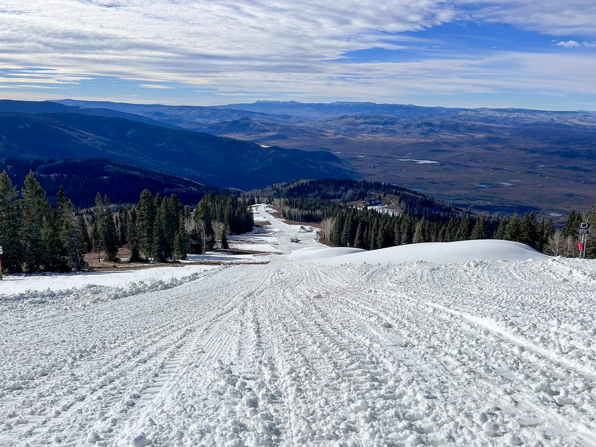
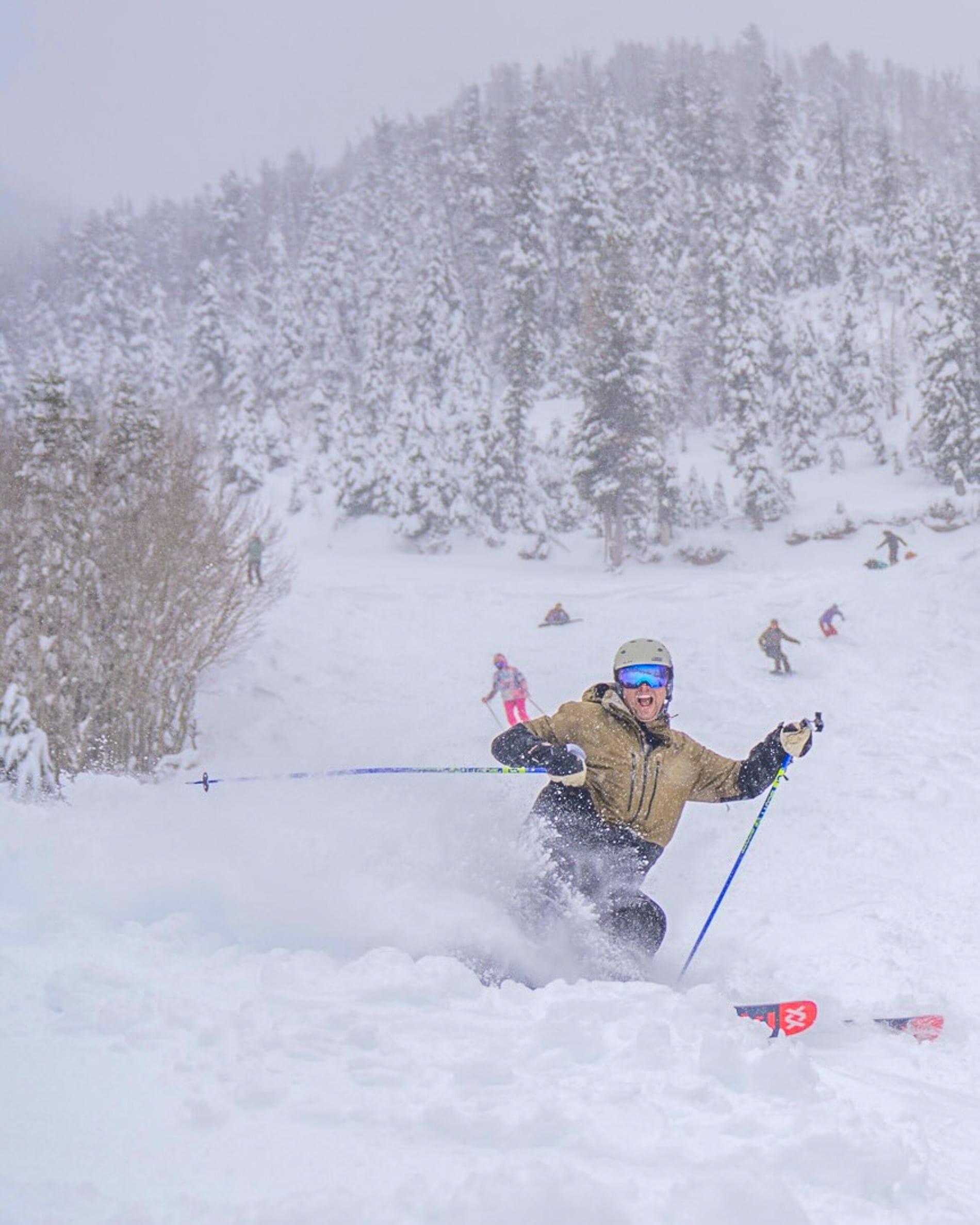
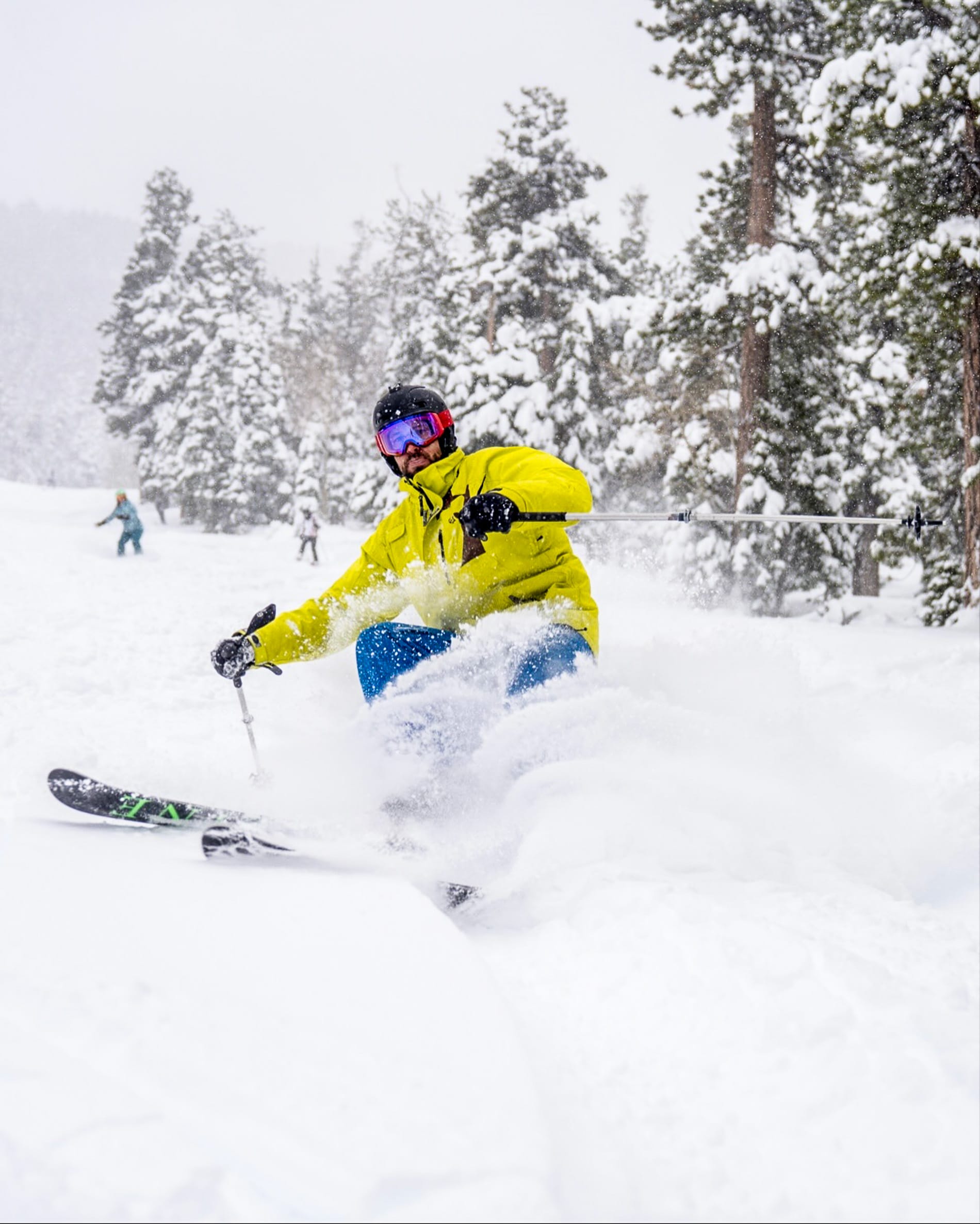
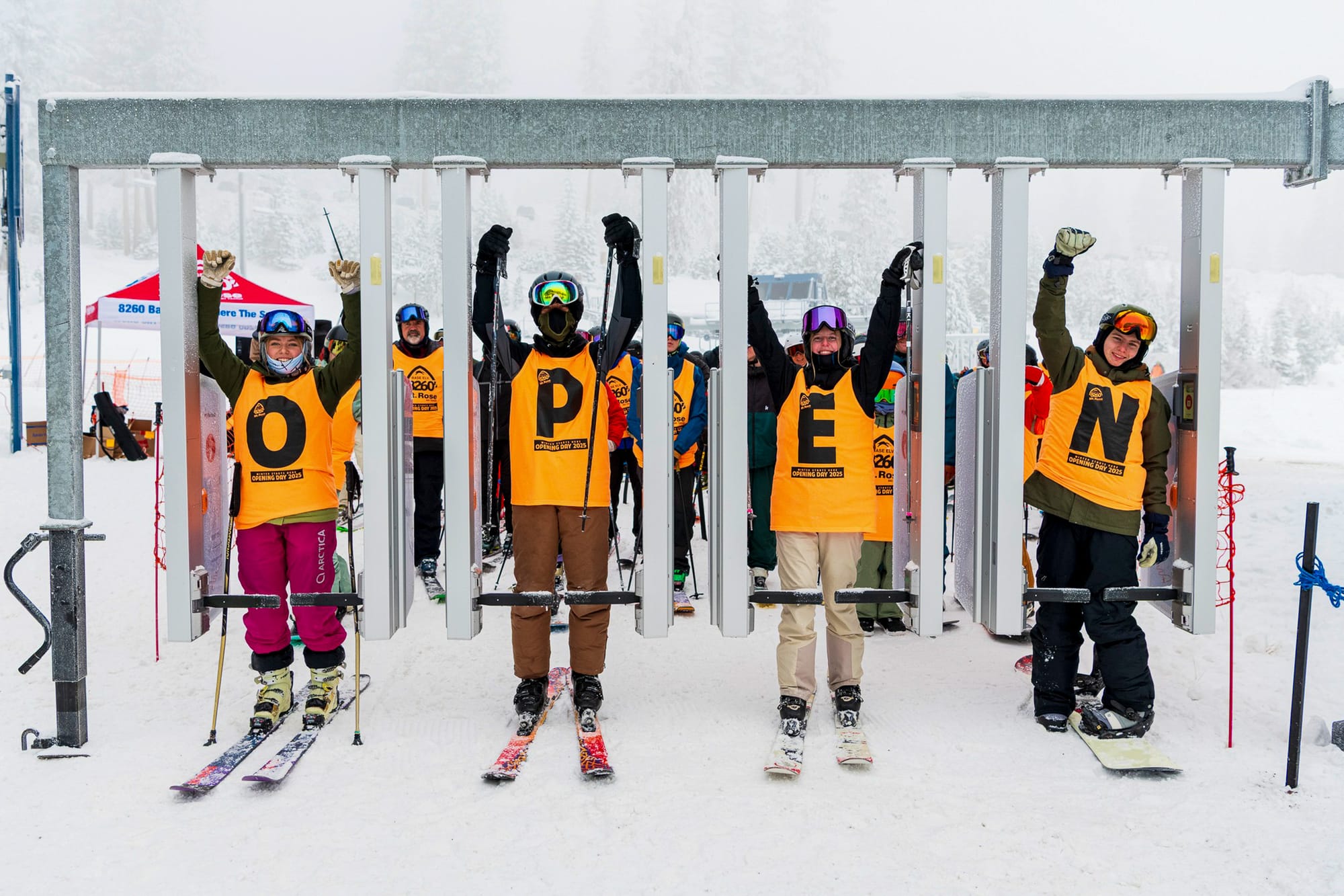
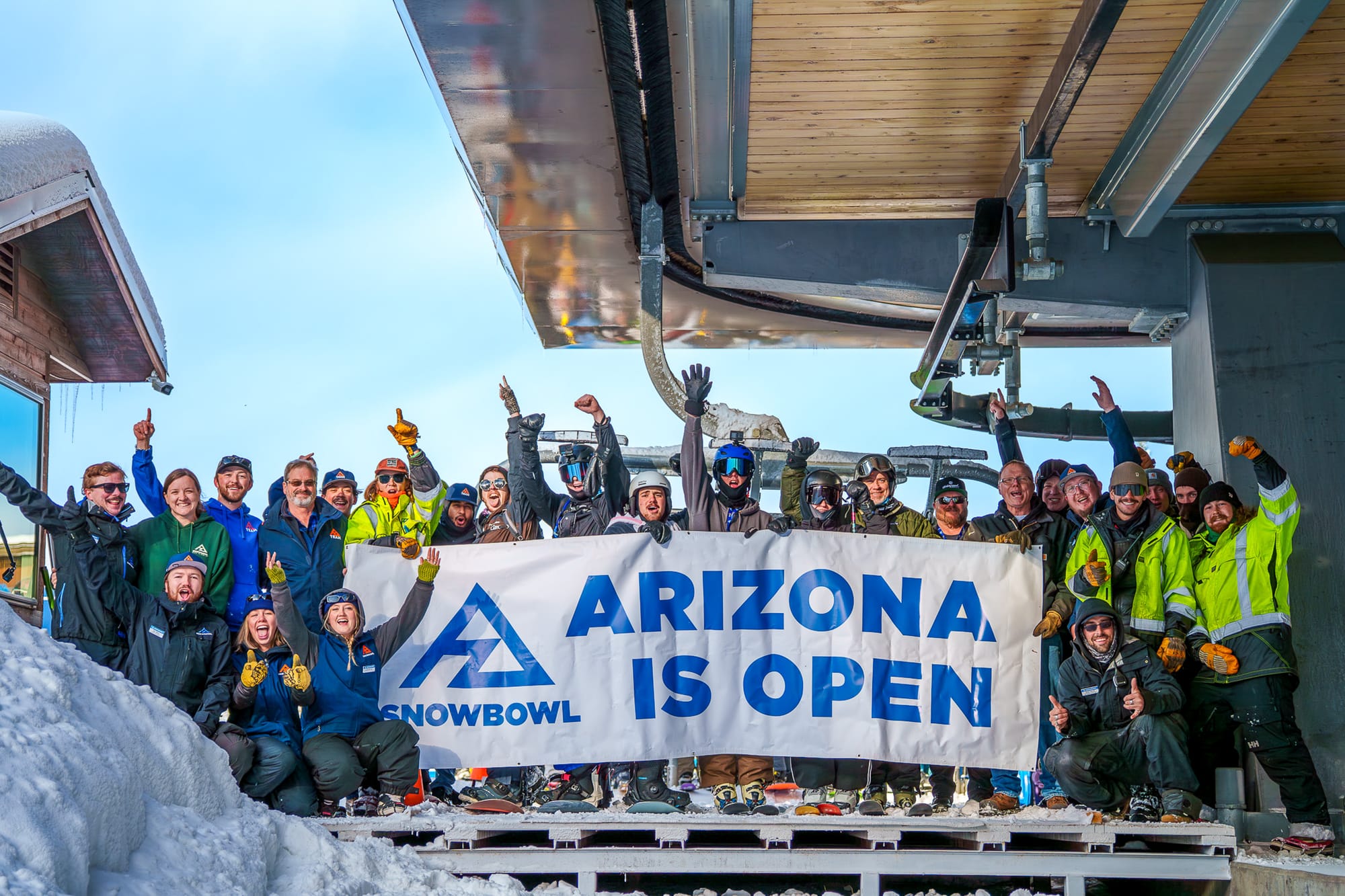
US ROCKIES UPDATE | Conditions in the Rockies have significantly improved, with some resorts reporting over three feet (90cm) of snowfall in the past week. Ski areas have started opening in Arizona and Utah, and the number of open resorts in Colorado has now reached double figures. The Arizona Snowbowl had one of the largest openings this week, reporting 87cm (35") of snowfall, which prompted it to open half a day earlier than planned, at midday on Thursday rather than Friday morning. It states that its early-season terrain is best suited to experienced skiers. To the north, Colorado continues to lead globally with the most open ski areas, now exceeding a dozen.
Conditions remain fairly marginal (Winter Park reports 10/19" / 25/48cm of snow, the deepest cover), though it is still early season, with Purgatory and Powderhorn delaying their openings. Steamboat, however, managed to start its season on schedule over the weekend. Despite many centres being open, there is limited skiable terrain at each location. Breckenridge (10/18" / 25/45cm) likely has the most, offering roughly five miles (8km) of runs.
US ROCKIES FORECAST
The weather is expected to become increasingly wintry in the Rockies with regular snowfall, peaking around Thursday and Friday, accompanied by cold air. Friday will be brighter, with sunshine and nights below zero, which should be beneficial for snowmaking and maintaining coverage. A stronger front will arrive on Saturday, bringing heavier snow and gusty winds, especially in Wyoming and Montana.
US Midwest Snow Report and Ski Conditions
US MIDWEST REPORT | After last week’s warm spell, the Midwest is firmly back in winter mode, with cold air gripping the region and snow already lying on northern slopes. Lake-effect systems around the Great Lakes are producing heavy, localised falls, while Michigan’s Upper Peninsula has seen significant accumulations. Sub-zero nights are preserving cover, setting up promising early-season conditions for ski resorts across Michigan, Wisconsin, and Minnesota. More centres have opened this week, including Andes Tower Hills Ski Area (3/12" / 7/30cm) in Minnesota, which joins Wild Mountain, which reported a 9” (23cm) accumulation earlier this week. There’s also Ski Brule (6/36” / 15/90cm) in Michigan and Trollhaugen (6/36” / 15/90cm) in Wisconsin already open. Each reports a few miles of slopes open initially.
US MIDWEST FORECAST
A wintry mix of snow and cold air for the Midwest over the next few days, heaviest across northern Michigan and Wisconsin. The week will end with brighter conditions, with sunshine and sub-zero nights preserving cover. A stronger front arrives Saturday, delivering heavier snow and gusty winds across the Great Lakes.
US East Coast Snow Report and Ski Conditions
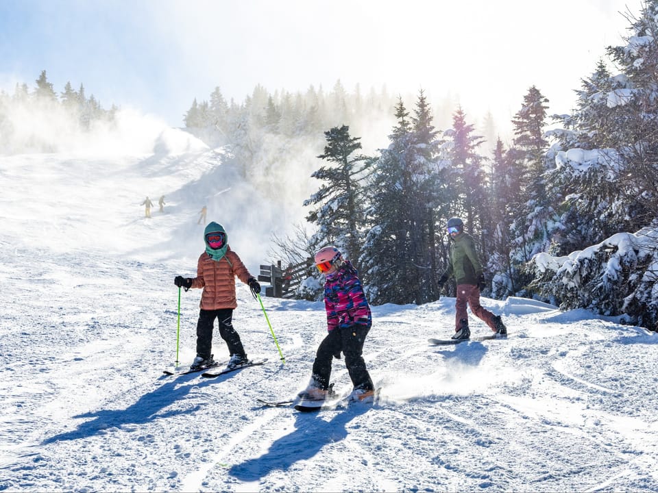
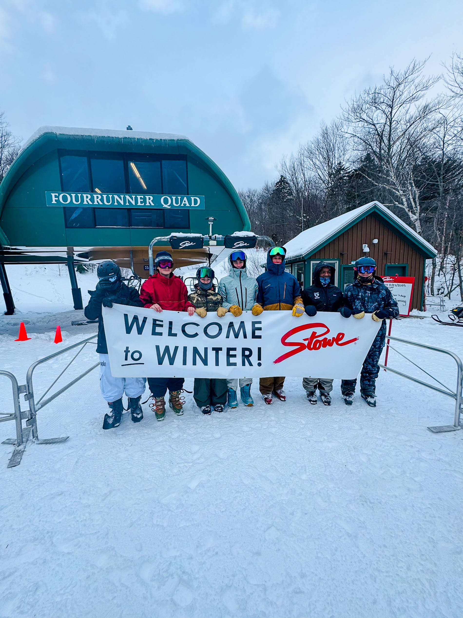
US EAST COAST REPORT | It's been a fantastic week on the US East Coast with more wintry weather and a variety of ski areas opening ahead of Thanksgiving, showing better snow depths and, in many cases, more terrain open than many of their usually larger and often snowier Western counterparts. Among the notable resorts starting their seasons were Vermont's Stowe (16/24" / 40/61cm), which opened with about a third of its terrain from day one, and Sugarloaf (8/12" / 20/30cm) in Maine. Over the past week, East Coast ski areas have experienced light to moderate snow accumulations (1–4 inches/2-10cm), daytime highs in the 20s–30s °F, and cold nights in the teens Fahrenheit.
Resorts have been able to ramp up snowmaking to supplement Mother Nature's efforts.
US EAST COAST FORECAST
The promising start to the season should continue along the East Coast with more cold air and fresh snowfalls forecast. In New England, Wednesday begins crisply with scattered showers, turning to snow on higher slopes, which will become more widespread as the week progresses. Friday is expected to be brighter, with sunshine and sub-zero nights preserving the snow cover. Saturday should bring heavier snowfalls and strong winds, especially in Vermont and New Hampshire.