N. America & Canada Christmas Snow Roundup #294
Weekly Snow News for North America, updated 24 December 2025: Major Pacific storms bring dramatic improvements as snowfall spreads coast to coast.

- Pacific storms transform West Coast conditions
- Western Canada reports deepest snowpacks
- Rockies terrain slowly expanding
- Midwest sees lake-effect snowfall
- Early-season snowfall continues in New England
North America Overview
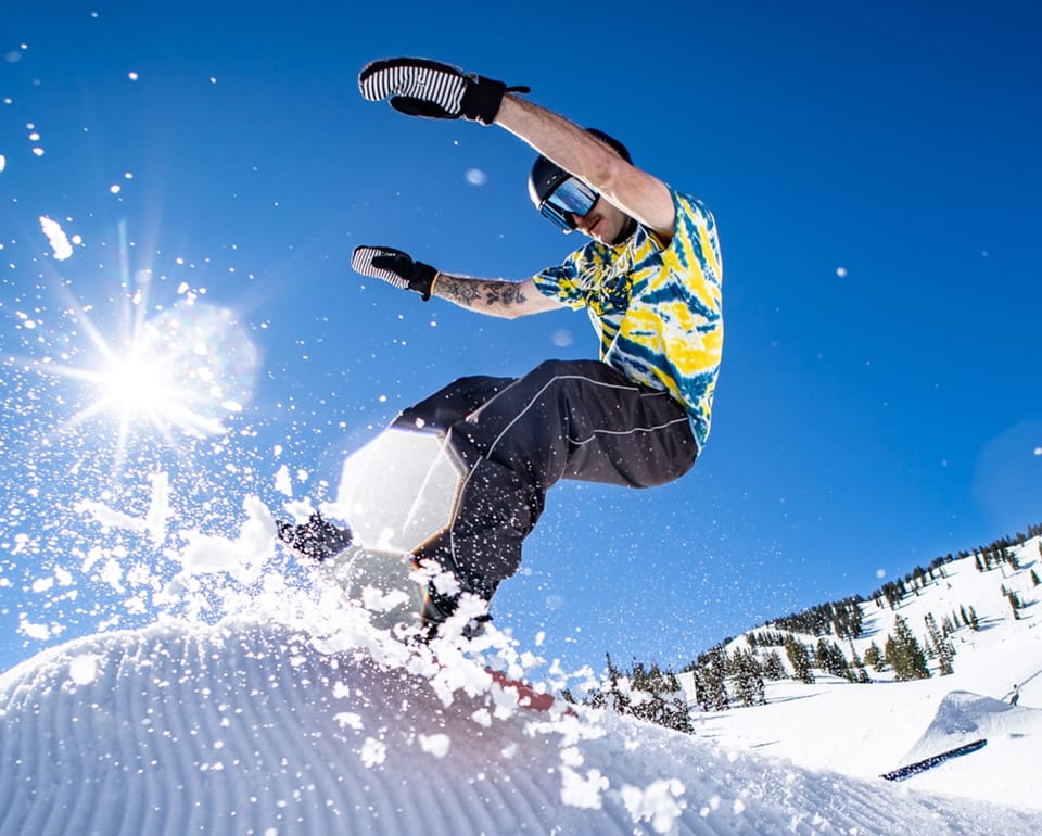
It’s been a week of improvements across North America in almost all regions. The big change for the better is currently underway along the Pacific coast. It’s the first of a series of storms set to continue over the next few days, which will hopefully bring snow rather than rain to lower elevations right down to California, and potentially five feet or more of it for some, really transforming conditions from the almost snowless state up to now.
Resorts have started opening and reporting up to 48 inches in 48 hours, so it's looking promising initially. Not so much will make its way to the Rockies, but things are slowly improving here too on the US side of the border, whilst on the Canadian side, up to a metre more snowfall has been reported, so steep and deep terrain is go. On the East Coast, a warm weather blip ended last week, but it's been back to mostly cold and snowy since.
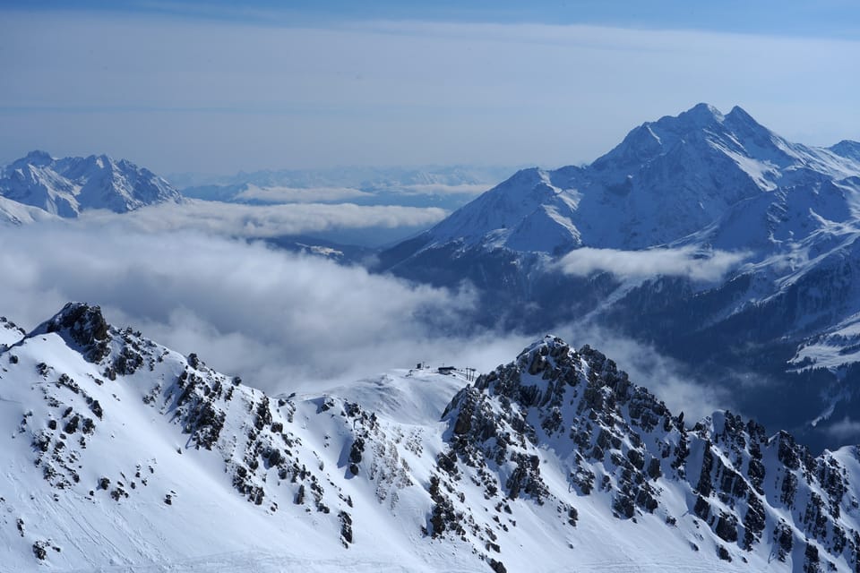
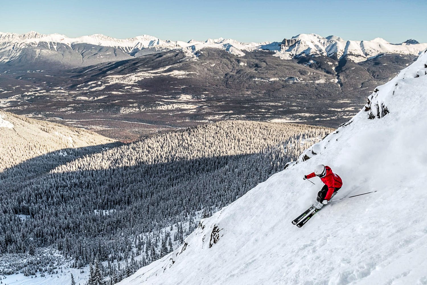
Western Canada Snow Report and Ski Conditions
Things seem to keep getting better in western Canada, with inland British Columbia and Alberta ski areas widely reporting up to 40 inches of snowfall over the past seven days. It’s powder all around, along with the highest percentages of terrain and deepest snowpacks in western North America. The Pacific coast had previously been excluded from this good news, but now, whilst still not back to normal, rain has turned to snow at lower levels.
This has allowed resorts like House Mountain to finally open and North America's biggest, Whistler Blackcomb, to edge past a third of its terrain open, with 38 inches of snowfall in the past seven days. Back inland, resorts like Marmot Basin and Sunshine in Alberta now have enough snow cover to open their steep and deep terrain for the first time this season.
7-Day Weather and Snow Forecast
More cold weather is forecast as Pacific systems feed regular snowfall into British Columbia’s Coast and Interior ranges. Alberta remains colder and slightly drier, though Banff, Sunshine and Lake Louise still see light snow at times. Freezing levels remain at or below valley floors, with alpine temperatures often very cold.
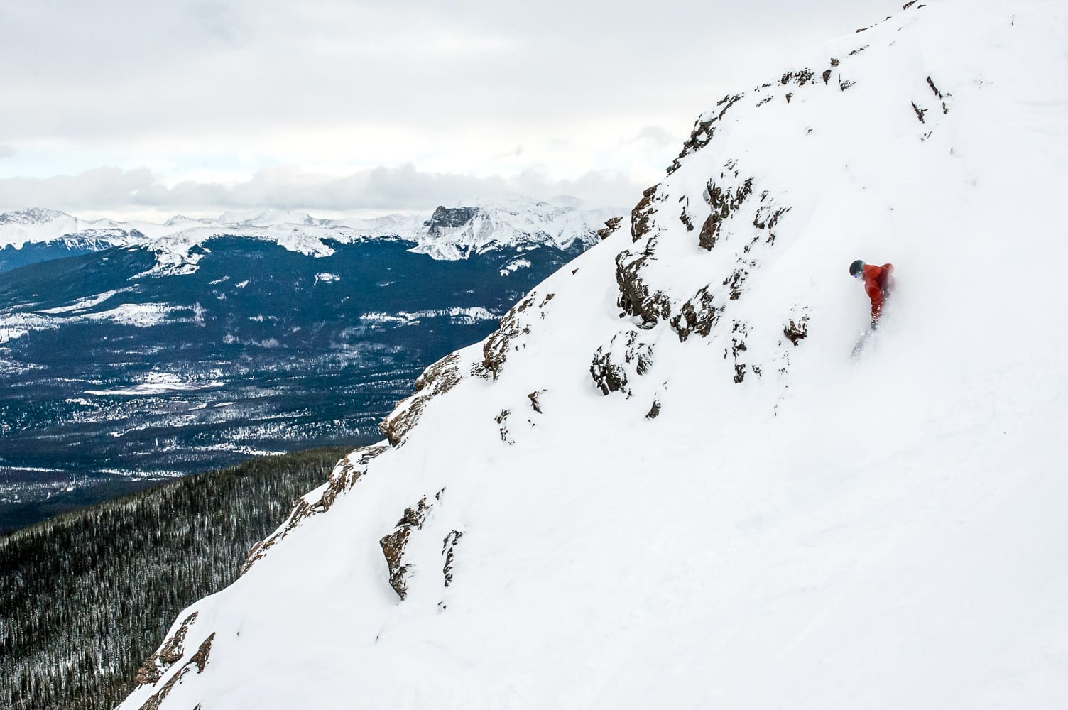
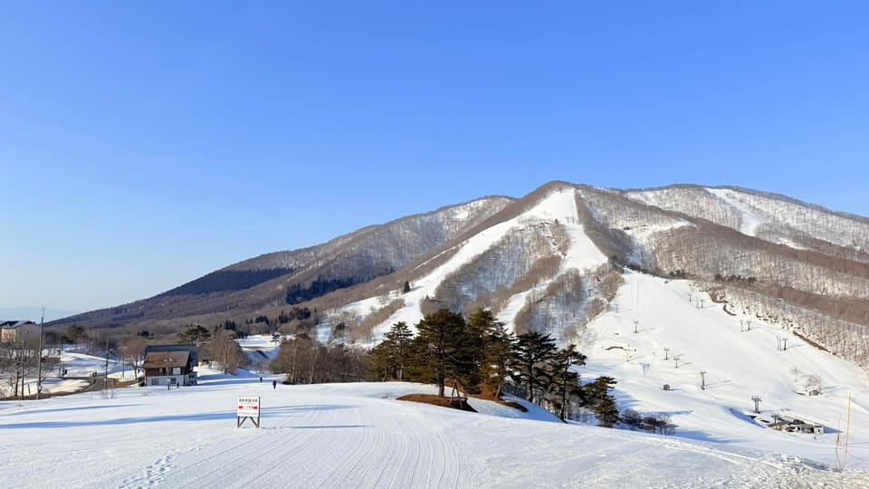
Marmot Basin, 20th December
Eastern Canada Snow Report and Ski Conditions
Conditions remain pretty good in eastern Canada, although the region did experience one of its warm, wet weather blips at the end of last week, when temperatures rose into the 50s, and heavy rain led some centres, including Sommet St Sauveur, to close as it passed through. On the whole, though, temperatures have remained well below freezing.
There have been more light-to-moderate fresh snowfalls, although reported bases aren't yet huge and most centers are at 30–60% open. Quebec’s Tremblant has about half of its runs open, the most in the region.
7-Day Weather and Snow Forecast
Eastern Canada will remain consistently colder, with mostly cloudy skies and occasional light snow. Quebec and the Maritimes have the highest chance of flurries, especially midweek and again late in the weekend.
US West Coast Snow Report and Ski Conditions
There have finally been improvements on the US West Coast, with snowfall in the north of the region late last week, allowing ski areas in Oregon and Washington to open, albeit with very limited terrain, mostly beginner. A bigger storm then hit further south, bringing significant improvements to resorts in California.
That snowfall was limited to higher elevations, and now all eyes are on a multi-day storm expected to arrive over Christmas, bringing much more snow to lower levels. Mammoth Mountain continues to post the most terrain open in the West, at around one-third of its full area.
7-Day Weather and Snow Forecast
A major Christmas storm is expected to deliver between one and six feet of snowfall, potentially transforming California’s Sierra Nevada. Further storms may follow, bringing additional snowfall further north.
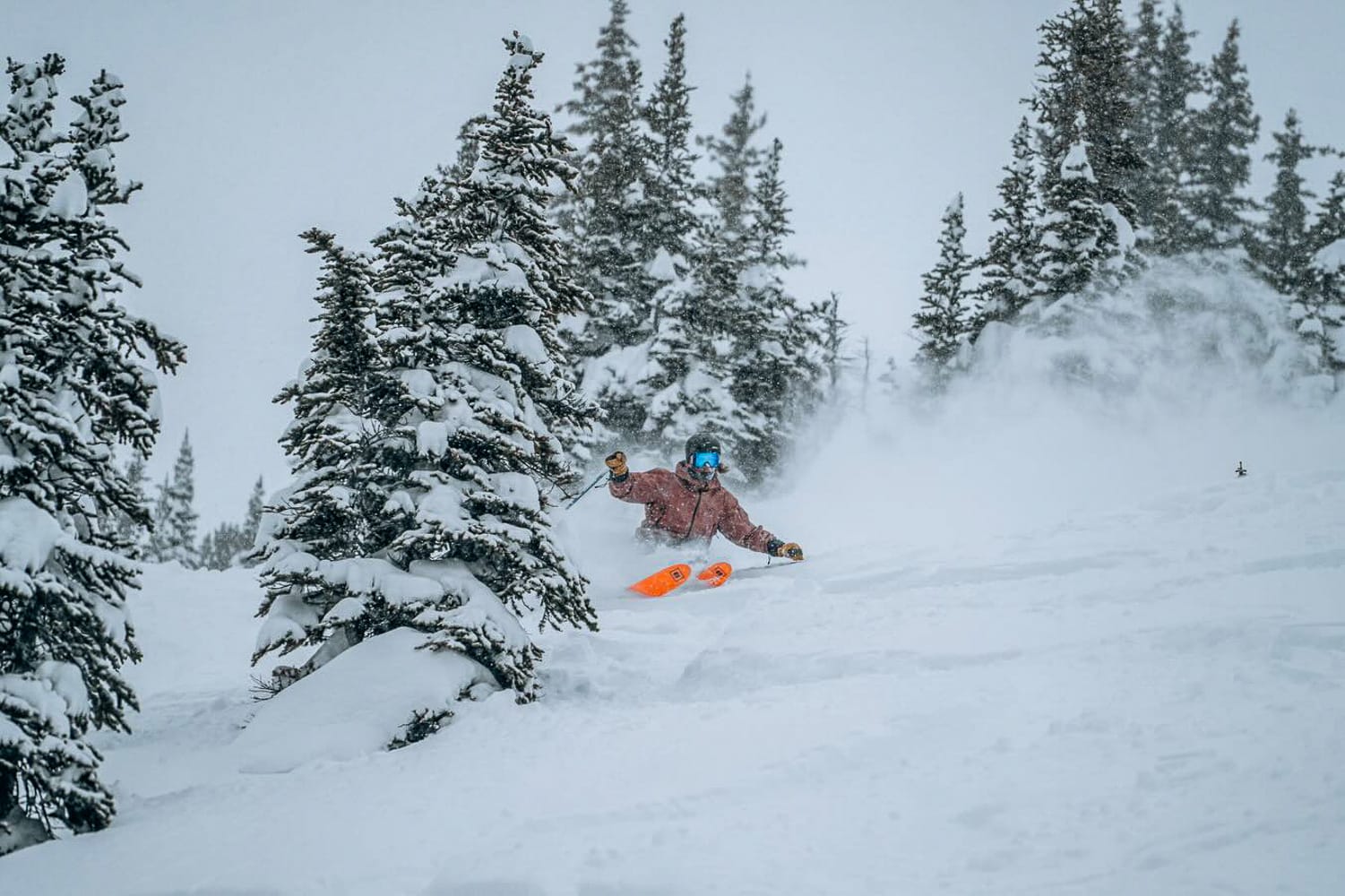
US Rockies Snow Report and Ski Conditions
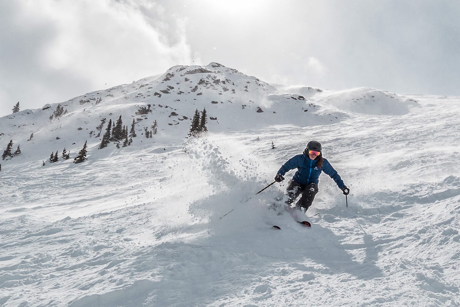
Jackson Hole recorded the world’s biggest snowfall over the three days leading into the weekend, delivering 23 inches on its higher terrain and producing the powder conditions the resort is famous for.
Elsewhere, there have been moderate accumulations, and the amount of open terrain is creeping up slowly across Colorado and Utah. Wolf Creek continues to outperform larger areas further north, maintaining full slope access thanks to its stronger snow base.
7-Day Weather and Snow Forecast
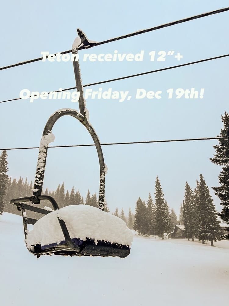
A wintry regime continues, with Pacific energy feeding regular snowfall into the northern and central Rockies. Heavier snow favors the Tetons, Wasatch and northern Colorado, with temperatures well below freezing.
US Midwest Snow Report and Ski Conditions
An up-and-down week in the Midwest, with warm, wet weather at times mixed with sudden deep freezes and lake-effect snowfall. Daily snowfall totals of three to six inches have been reported across the region.
Ski areas in Michigan are posting the deepest snow, led by Crystal Mountain, with strong snowmaking support across Minnesota, Wisconsin and Ohio.
7-Day Weather and Snow Forecast
Colder conditions persist with occasional light snow. Machine-made bases remain firm, with modest freshening possible later in the week.
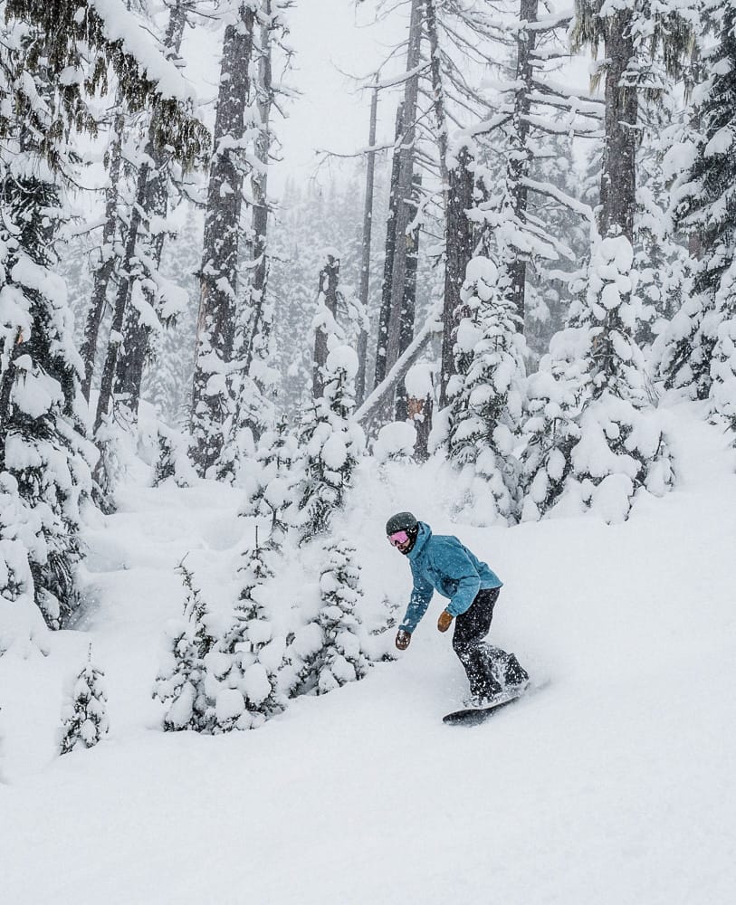
US East Coast Snow Report and Ski Conditions
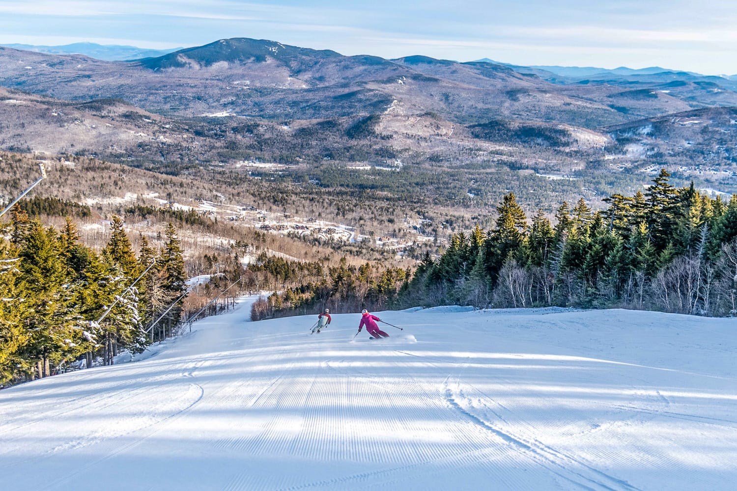
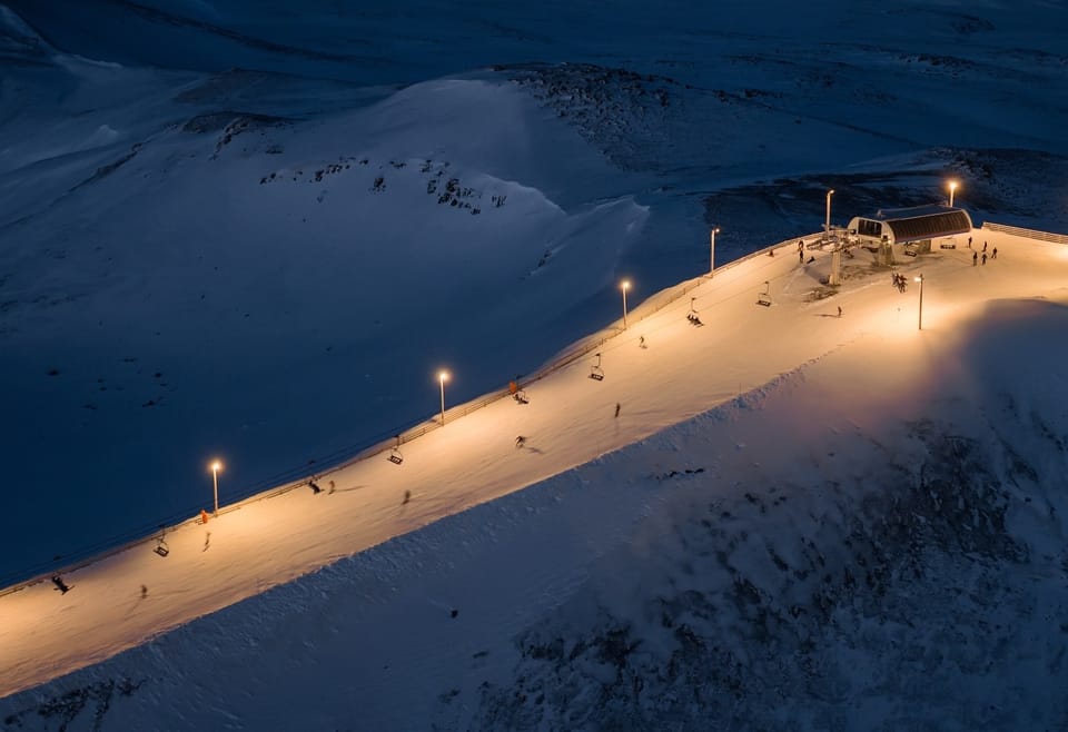
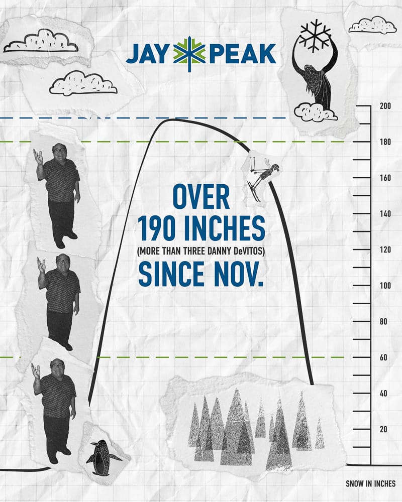
Conditions remain favorable for the early season in New England, with low temperatures and further fresh snowfall. Vermont’s Jay Peak is experiencing a record-breaking start and has humorously measured snowfall totals in “Danny DeVitos.”
New Hampshire’s Cannon Mountain currently reports the deepest base in the region, with snowfall totals of up to 10 inches in 24 hours.
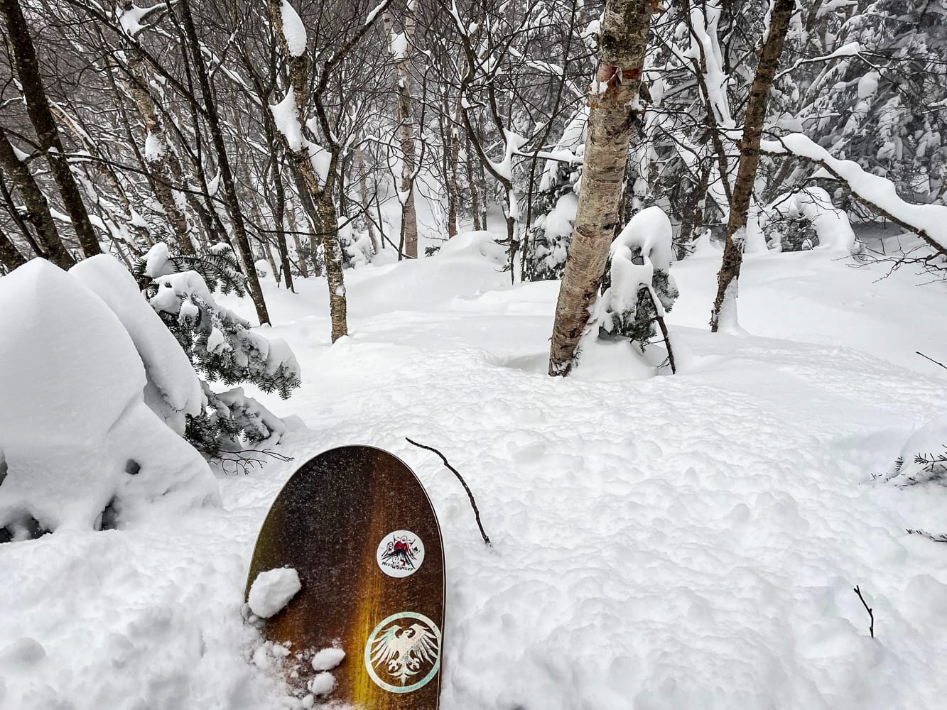
Recent image from Jay Peak
7-Day Weather and Snow Forecast
A warmer spell is expected after Christmas, with temperatures rising into the 50s and rain possible before colder conditions return.