North America Weekly Snow Roundup #284
Weekly Snow News for North America, updated 15 October 2025: Mission Ridge 25cm (10"), Mammoth buried, Rockies snowmaking; BC and Alberta chalk multiple autumn snowfalls.
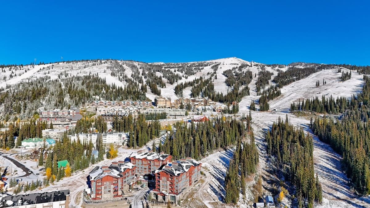
- Widespread October snow primes the West for early openings.
- Mission Ridge sees 10” as Mammoth experiences mid-month storm.
- Colorado snowmaking surges; Nov 6 target set at Copper.
- Canadian Rockies see repeated falls across Alberta and BC.
Pacific Northwest and Cascades Snow Report and Ski Conditions
The start of the 25-26 season feels close in North America with widespread snowfall on mountain peaks and temperatures cold enough for pre-season snowmaking to ramp up in many areas.
The past week saw weather warnings for snowfall in eight states, with Alaska, Idaho, Oregon and Montana seeing the heaviest accumulations.
Washington’s Mission Ridge was one of the big winners, reporting 10” of snowfall before the sunshine returned on Tuesday.
Pacific Northwest and Cascades Snow Forecast
A series of cool, moisture-rich Pacific systems will move through the Pacific Northwest this week, bringing frequent snow showers to the Cascades and British Columbia’s Coast Mountains. Higher elevations can expect 6–12 inches (15–30 cm) of accumulation, with locally higher amounts on west-facing slopes. Snow levels will fluctuate between 3,000 and 4,500 feet (900–1,400 m), lowering late in the week as colder air arrives.
Daytime highs will range from the mid-30s to mid-40s °F (2–7°C) in the mountains and 45–55°F (7–13°C) in lower valleys, with nighttime lows dipping into the 20s and 30s (–4 to 2°C). Gusty ridgeline winds of 25–40 mph (40–65 km/h) may create blowing snow and occasional whiteout conditions, particularly on passes such as Stevens, Snoqualmie, and Coquihalla. Travellers should prepare for slick roads and reduced visibility during heavier bursts. This pattern, driven by a persistent upper trough near the Gulf of Alaska, will keep the region cool and unsettled through the week — a classic early-season setup marking the first true taste of winter.
California Sierra Nevada Ski Update and Weather Outlook
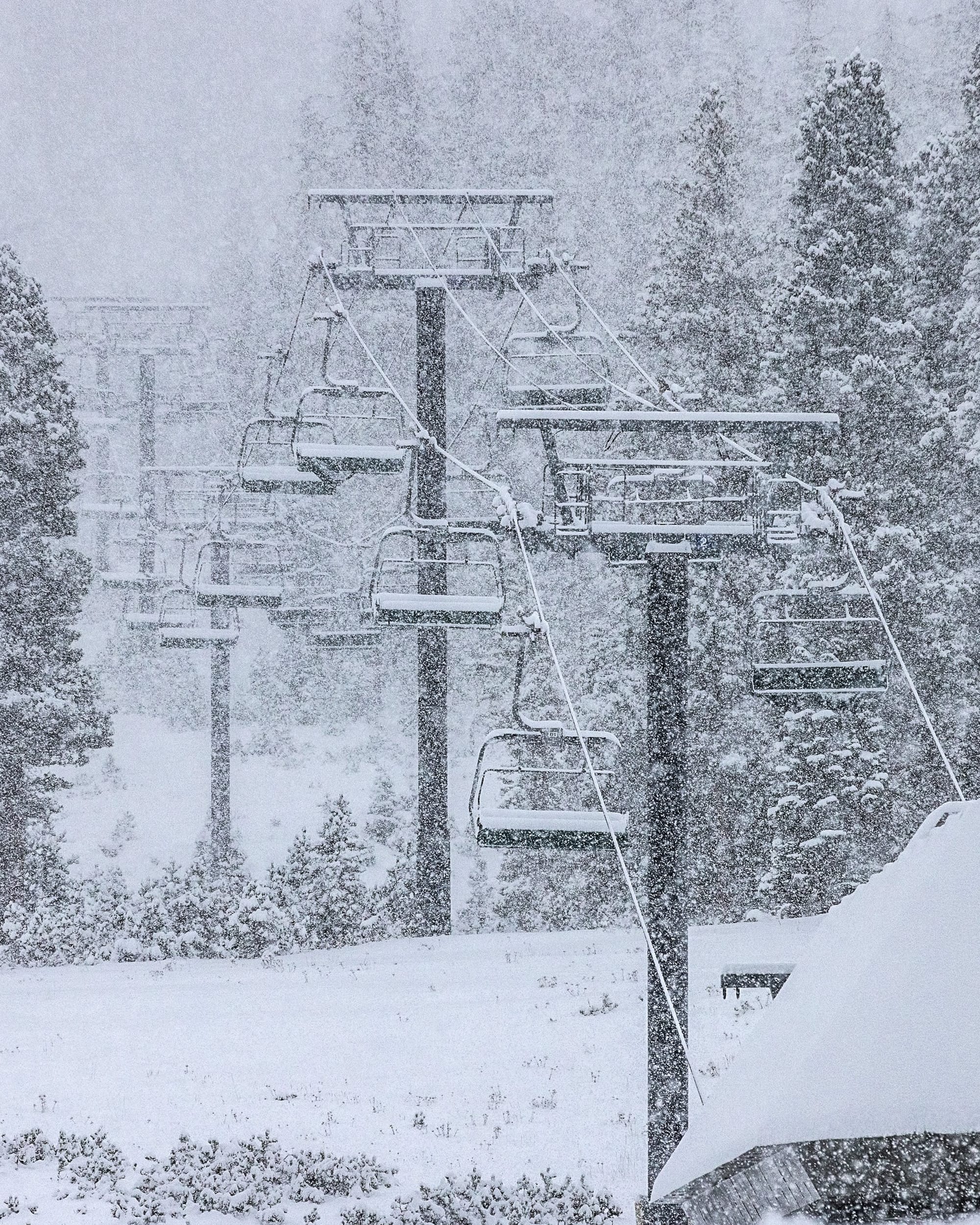

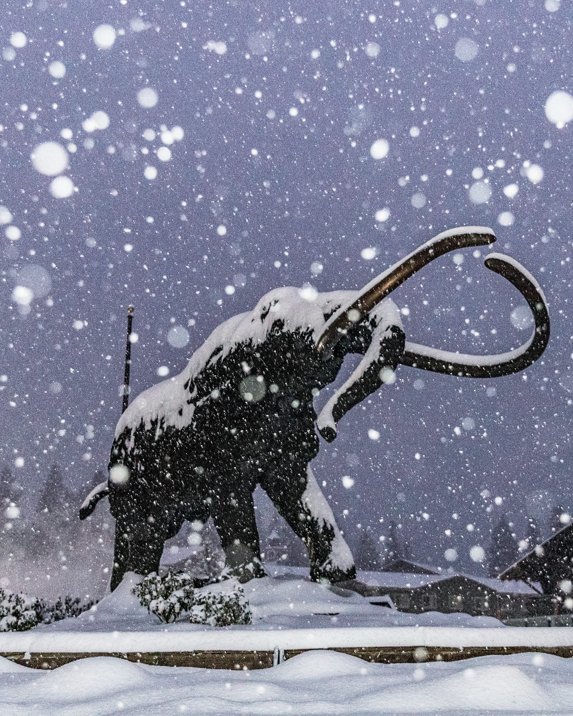
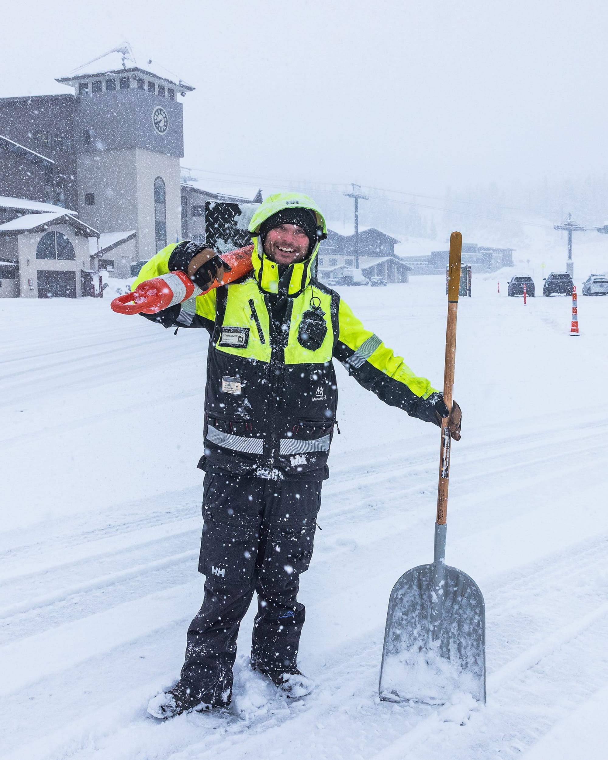
Heavy snow in Mammoth last week
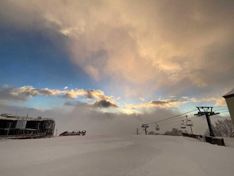
Further south, there was a decent mid-October dump on Californian mountains too, with Mammoth Mountain posting pics of snow ploughs working as the snow accumulated on Tuesday.
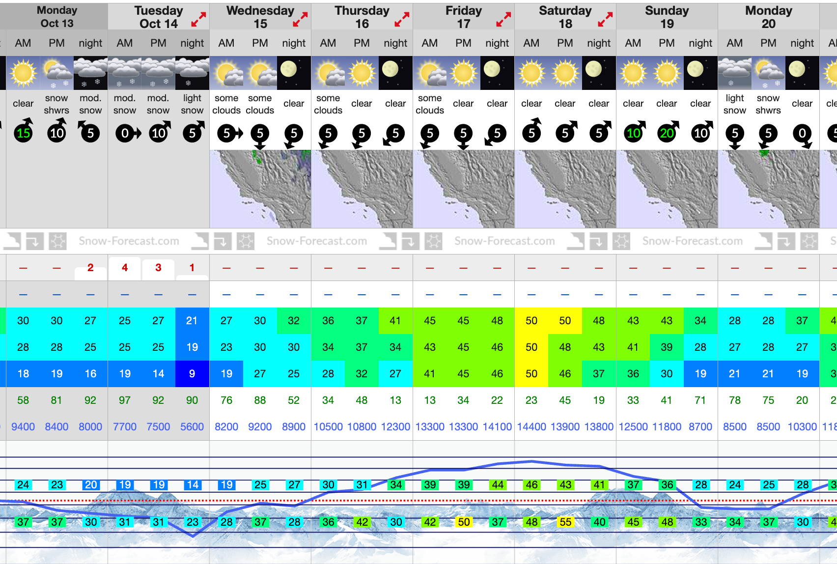
Opening day is just a month away now.
California Sierra Nevada Snow Forecast
A brief midweek system will brush across California’s Sierra Nevada, bringing light snow mainly above 7,000 feet (2,100 m). The heaviest totals are expected along the crest near Mammoth Lakes and Lake Tahoe, where 1–4 inches (2–10 cm) may accumulate Wednesday into early Thursday. Lower elevations will likely see a mix of rain and wet flakes, with little accumulation. Behind the system, cooler, clearer air will settle in late week, providing a crisp, calm finish and excellent mountain visibility.
USA Rockies Early-Season Snow Report and Forecast
Snowmaking systems have also fired up at a growing number of resorts with the battle to open first strong between resorts like Arapahoe Basin (which announced its snowmaking was underway on Monday), Loveland and Keystone, all aiming to be October openers.
Copper Mountain is snowmaking ahead of its fixed target opening date of November 6th – one of the earliest named dates.
USA Rockies Weather and Snow Forecast
The Rockies, particularly in Colorado, Utah, and Wyoming, will see intermittent snowfall, with light to moderate accumulations and colder air settling in by Friday.
Canadian Rockies and British Columbia Snow Report and Forecast
North of the border, there's been plenty of snowfall reported on high slopes again in Alberta and BC, with Silver Star reporting its first snowfall of the autumn, whilst for ski areas like Marmot Basin near Jasper and Sunshine near Banff, it's just the latest of multiple accumulations this fall, with provisional season start dates now less than a month away.
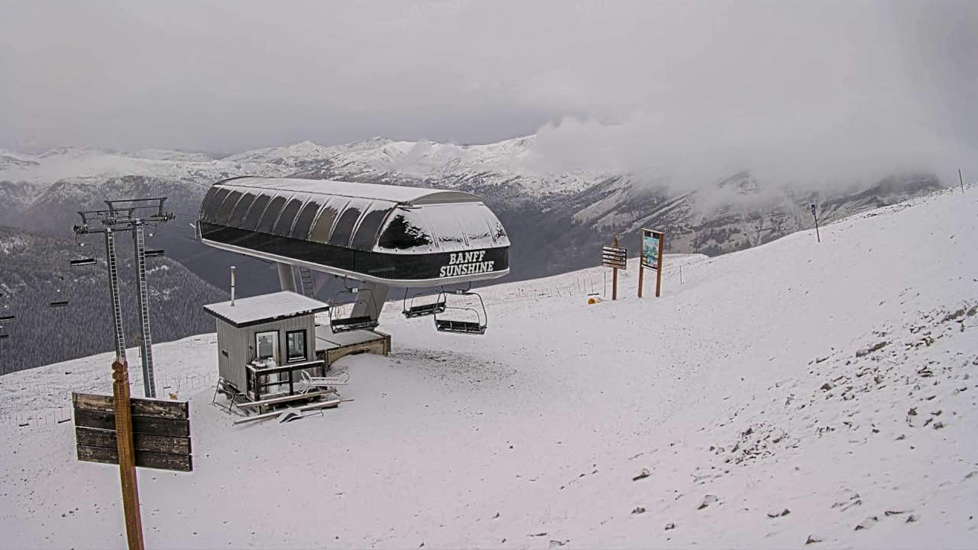
Canadian Rockies and BC Snow Forecast
The Northern Rockies in Montana and Alberta could see persistent flurries this week as a series of weak disturbances track east of the Continental Divide. The Canadian Rockies, including Banff and Lake Louise, will turn colder with light snow showers, especially Thursday and Friday, as Arctic air deepens over the region. Daytime highs will remain below freezing across higher terrain, with overnight lows dipping into the single digits (°F) / –10s°C.
Overall, conditions will favour pre-season snowmaking and alpine touring, with a fresh dusting of natural snow enhancing early base layers. Early-season conditions are steadily improving, especially in the West, as colder air and light new snow lay the groundwork for ski area preparations and backcountry travel later this month.
Eastern US and New England Early Season Outlook
While the West contends with early mountain snow, the Eastern US — including the Appalachians, Adirondacks, and New England — will stay mostly dry and seasonably cool through the week.
Expect crisp autumn days with highs in the 40s and 50s°F (5–15°C) and chilly nights dipping into the 30s°F (–1 to 4°C), bringing widespread frost to sheltered valleys. A weak coastal disturbance late in the week could bring a slight chance of light rain or a few flakes across northern New England by Saturday, but overall conditions favour clear skies, low humidity, and vivid fall colours.

