North America Weekly Snow Roundup #288
Weekly Snow News for North America, updated 12 Nov 2025 — early openings from Colorado to Quebec as winter spreads across the continent. Save 60% on Whislter passes
- Winter settles across much of North America
- Over a dozen resorts open in Alberta and Colorado
- East and Midwest turn wintry with early snowmaking
- Western Canada snowy and cold; Alyeskaover tops snowfall charts
- Early-season momentum builds from coast to coast
North America Early-Season Snow Report and Ski Conditions
Winter appears to be settling in across much of North America this week, particularly in the East and Midwest, which had been milder than average up to this point. Resorts have been racing to take advantage and open early there as a result, and we’re now into double figures for the number of centres open across the continent. Most are in both Alberta and Colorado, where more resorts have started their season, so they now have a dozen centres open between them, and more to follow later this week.
Western Canada remains snowy and cold, while eastern Canada has flipped to wintry, sparking snowmaking across Quebec and Ontario. Mont-Saint-Sauveur was the first to launch the East’s season at the weekend. In the U.S., Tahoe’s blizzards gave way to warmth, delaying Mt. Rose’s opening.
,Mammoth Mountain was on track to open on November 14, but announced it would delay by a day due to an expected storm on Friday. Alaska’s Alyeska saw the biggest reported snowfall this week. Colorado now boasts six open resorts, including Loveland, Breckenridge, and Copper Mountain. A cold wave is sweeping the Midwest and East, triggering lake-effect snow and early-season prep. Vermont's Jay Peak and Killington fired up snowmaking amid 30 cm of natural snowfall over the weekend — the most promising week yet for the Northeast.
Western Canada Snow Report and Forecast
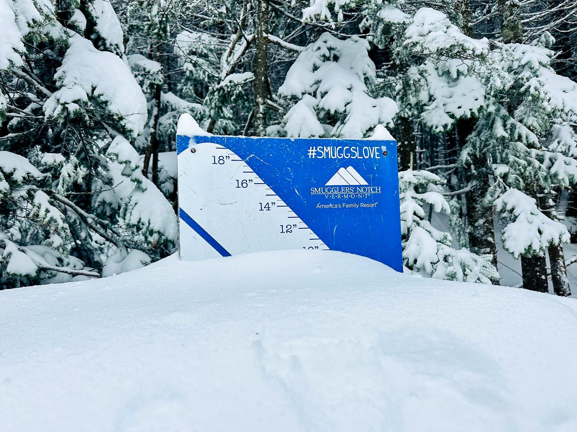
Chic Pea Hut (mid mountain) Whistler snow stake, 2nd November
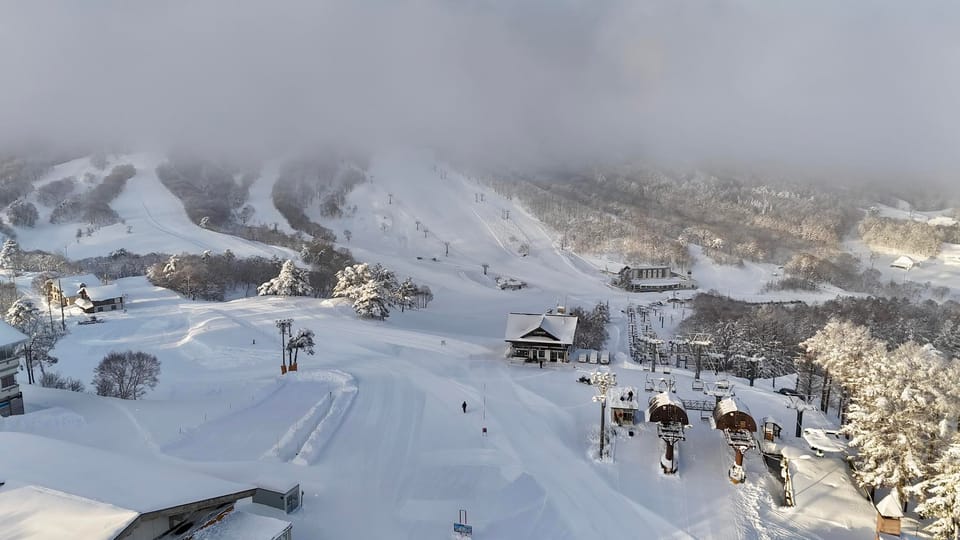
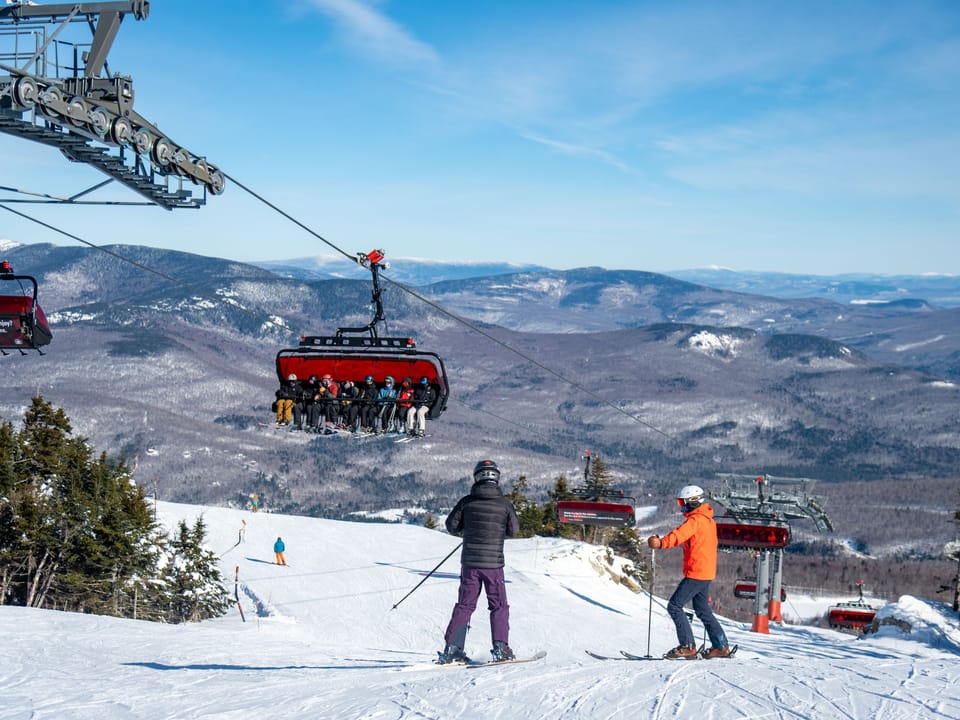
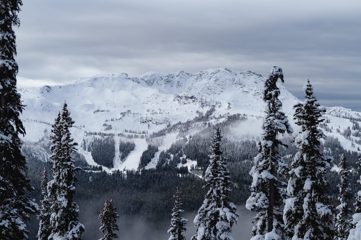
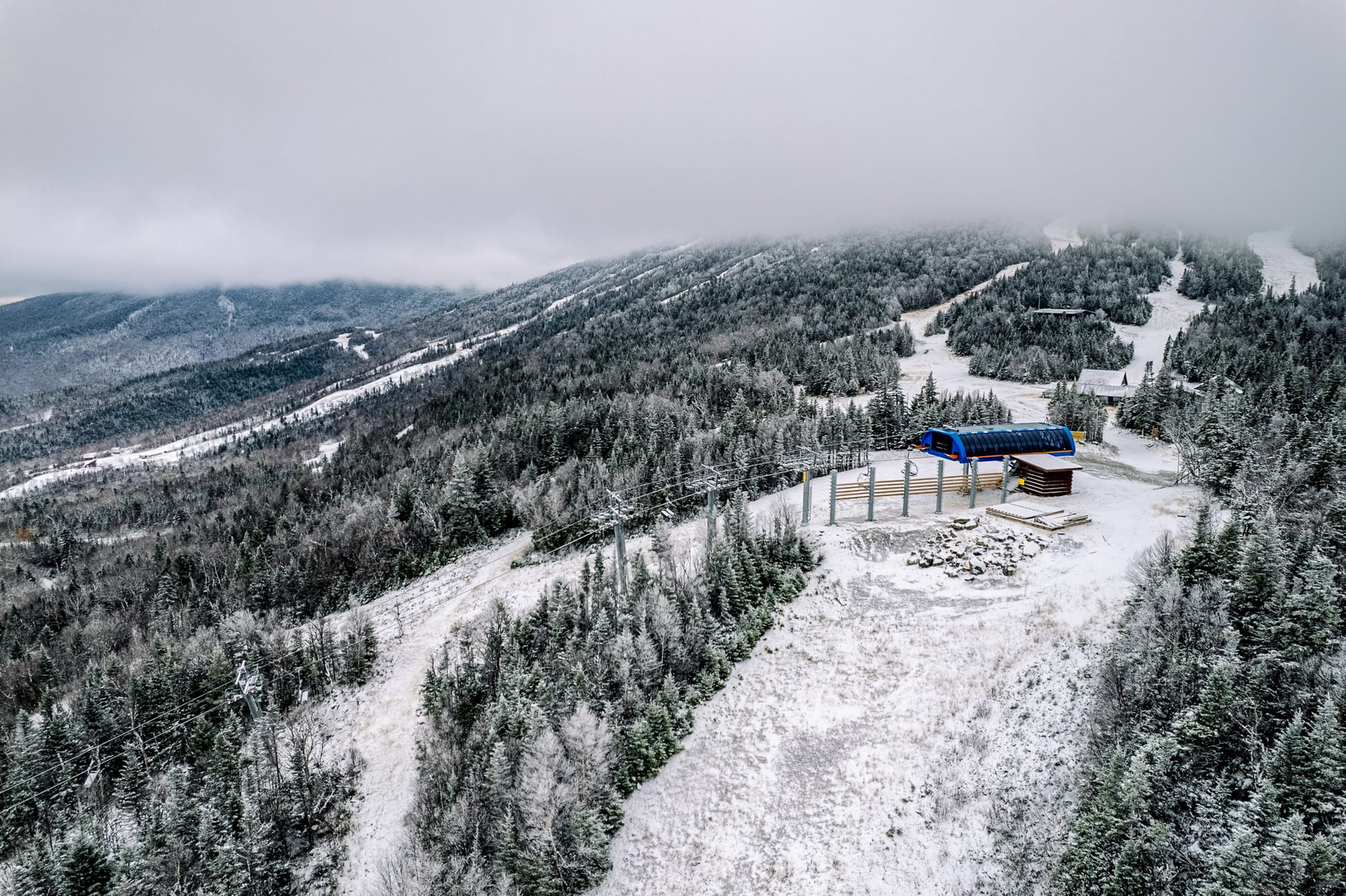
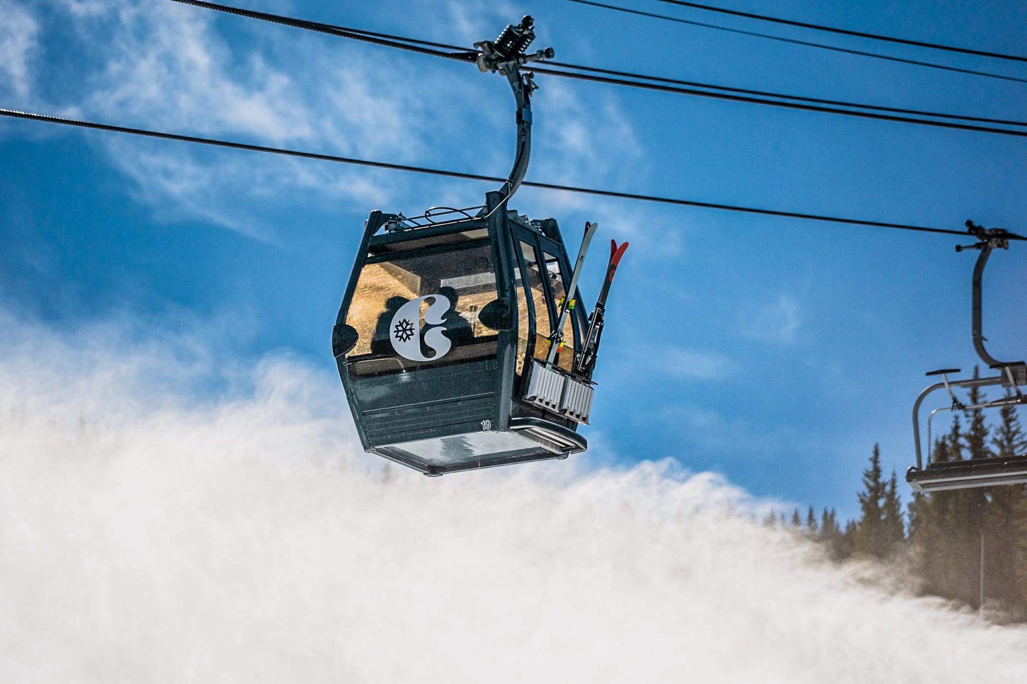
It’s been another good week of low temperatures and fresh snowfall in Western Canada, with resorts reporting up to 25 cm (10”) in 24 hours and most seeing 5–10 cm (2–4”) at least daily. Two more centres have opened for the 2025–26 season — Calgary's closest, Nakiska (25/30 cm / 10/12”), and Banff’s third area, Norquay (30/35” / 12/14”), which joins already open Lake Louise (45/55 cm / 18/22”) and Sunshine (45/85 cm / 18/34”). Sunshine is posting the most terrain open in North America at this early stage, with around 24 km (15 miles) of slopes already skiable. Some centres are currently only open at weekends, though.
In Whistler, the countdown to opening day — November 21 — is officially on. With temperatures at higher elevations remaining cold, the snow base up high will be ready to receive skiers and snowboarders.
Western Canada Forecast
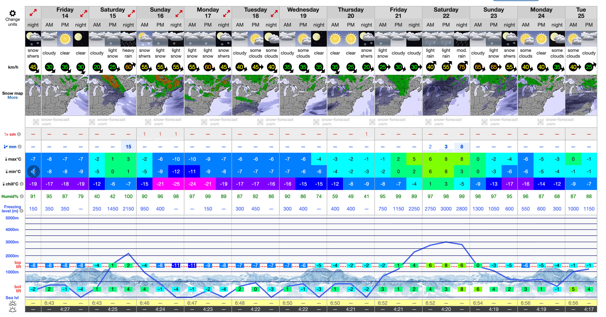
Further snowfall and cold temperatures are expected for the rest of this week, with ski areas in Alberta and British Columbia forecast to receive moderate to heavy snow midweek, with temperatures dipping to –15 °C at higher elevations. Snowfall will intensify on Thursday and Friday, with freezing levels staying low, supporting excellent early-season conditions. Winds will be moderate, but visibility will inevitably vary during heavier flurries.
Eastern Canada Snow Report and Forecast
There’s been a shift to more wintry conditions in eastern Canada after a prolonged period of warmer-than-average temperatures. That’s led to snowmaking systems firing up across Quebec and Ontario, as well as some natural snowfall on mountain tops. Mont-Saint-Sauveur, which had been the last in the region to close in mid-May at the end of last season, announced it was opening — initially for season pass holders only — on Sunday, and like many others has kept all guns blazing through the current cold spell.
Eastern Canada Forecast
Eastern Canada's ski regions should continue to see wintry conditions for the remainder of the week, with light to moderate snowfall forecast and temperatures on mountains ranging from –10 °C to +1 °C, with wind gusts increasing midweek. Overall conditions look promising for pre-season snowmaking and natural accumulation across the region.
U.S. West Coast Snow Report and Forecast
After the big snowfalls in California a few weeks ago, with blizzard-like conditions reported at Tahoe as recently as last Wednesday, the resort that had hoped to be the first in the West to open, Mt. Rose Ski Tahoe, has decided to postpone. The storm system that hit the region wasn’t enough to cancel out the impact of a warm stretch over the intervening weeks. “We're optimistic about colder temps ahead that should allow us to crank up the snowmaking system,” Mt. Rose Ski Tahoe's Marketing Director Mike Pierce told media, adding that the resort had invested millions into the upcoming season, including new snowmaking equipment. It’s now looking like Mammoth Mountain, due to open on Friday, November 14, will be the first. Further north, the snow has kept dumping with Alaska's Alyeska reporting another 18” (45 cm) accumulation going into the weekend.
U.S. West Coast Forecast
Along the Pacific Coast, mountain regions are forecast to experience variable conditions for the rest of this week, with colder air moving in and intermittent snowfall. Californian resorts should see snow at higher elevations (rain below) from Thursday as a storm system moves through, bringing strong winds too. Oregon and Washington resorts should see moderate snowfall, especially Thursday and Friday, with freezing levels dropping. Alaska's ski areas will remain cold and snowy, with consistent flurries and strong winds.
U.S. Rockies Snow Report and Forecast
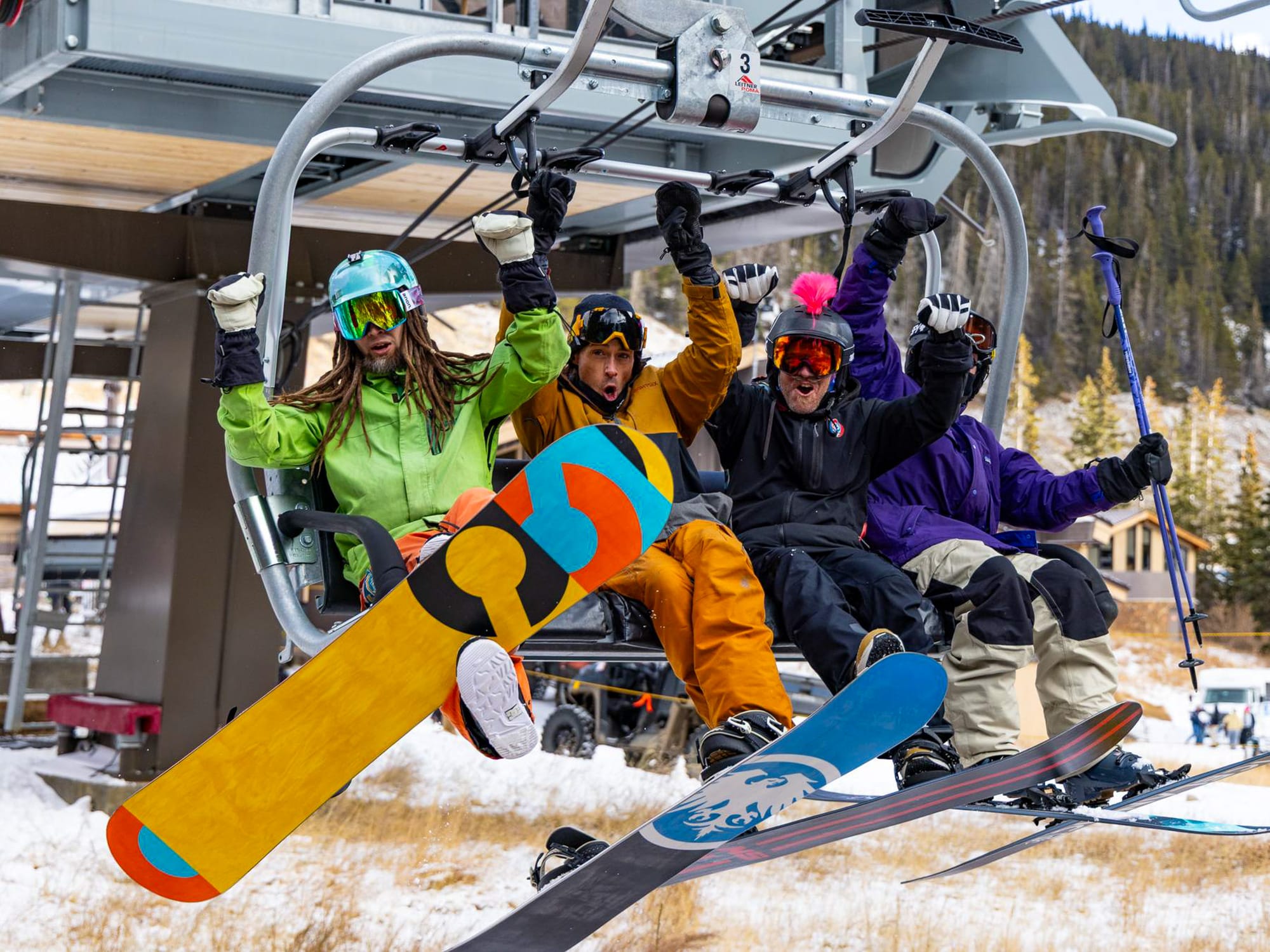
The Rockies experienced very mild weather over the latter half of the week and the weekend, with temperatures reaching the 50s even at altitude. However, overnight lows were still low enough for snowmaking. While Utah's Brian Head decided to delay opening, Colorado's Loveland reported it had enough snow to open and announced last Wednesday that it would open for its 88th season on Saturday, initially running Chet’s Dream for top-to-bottom turns. The ski area’s opening-day terrain gave skiers and riders nearly 1,000 vertical feet and 1.5 miles of early-season terrain. Breckenridge (18/18” / 45/45 cm) and Copper Mountain (18/18” / 46/46 cm) have also opened, each with about a mile of runs. These join already open Arapahoe Basin, Keystone, and Winter Park, giving Colorado six centres open for 2025–26 — equal to Austria’s Tirol for the most of any region in the world.
U.S. Rockies Forecast
Mixed conditions are forecast for the rest of the week with intermittent snow and freeze–thaw cycles in the Rockies. Light snow showers midweek, especially Thursday, and temperatures ranging from the mid-20s to mid-40s °F depending on elevation. Winds will increase Thursday into Friday, reaching gale force at times, before easing into the weekend. While snowfall will be modest, freezing levels will drop significantly by Friday, supporting snowmaking. Most resorts will see dry but cold conditions by the weekend.
U.S. Midwest Snow Report and Forecast
Winter-like conditions moved into the Midwest over the weekend, allowing resorts to run their snowmaking systems to the max and dramatically increasing pre-season excitement levels. The arrival of December-like temperatures and the season's first natural snowfall is funnelling Arctic air south into the region. The low temperatures are clearly good news for midwestern ski areas looking to start up as soon as they can, and Minnesota’s Wild Mountain (9/9” / 17/17 cm) and Trollhaugen (12/12” / 30/30 cm) in Wisconsin were among those taking advantage, starting their seasons in the past 24 hours. Lake-effect snow has also been generated as cold air traverses the relatively warm waters of the Great Lakes.
U.S. Midwest Forecast
Cold, sometimes snowy conditions are expected to continue in the Midwest with further lake-effect snow likely. Resorts in the region will benefit from an active jet stream and consistent flurries. Temperatures will remain well below freezing, supporting snowmaking and natural accumulation. While not much natural snowfall is expected, conditions remain promising for early-season operations, especially near the Great Lakes, where moisture and cold air converge.
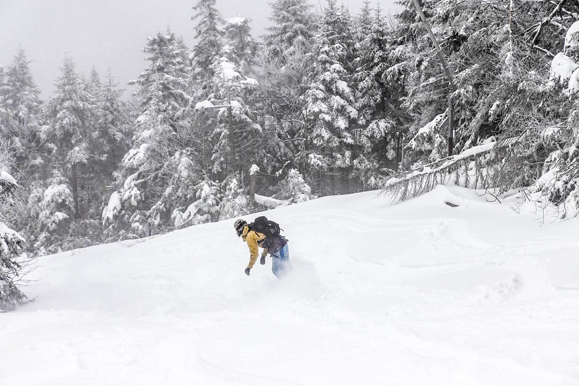
U.S. East Coast Snow Report and Forecast
It’s been the most promising week of the pre-season so far in the Northeast with some significant snowfalls, particularly in Vermont, where up to 12” (30 cm) accumulations were noted. Jay Peak reported 5 inches (13 cm) at lower elevations and 10 inches (25 cm) at higher elevations, with staff already out enjoying it. Killington, the largest resort in the region and often first to open, announced they were “Kicking off snowmaking with a record 175 guns,” according to Greg Gleason, snowmaking manager at Killington Resort and Pico Mountain.
“With our new low-energy guns and infrastructure upgrades, we can make more snow while using less energy.”
By Monday, the resort announced plans to open from Wednesday, the 12th, for pass holders and from the 14th for all. Maine’s Sunday River also announced openings, as did two areas in the Southeast — Cataloochee and Sugar Mountain in North Carolina. At the time of writing, lift-accessed skiing was open at Ski Ward in Massachusetts using all-weather snowmaking.
U.S. East Coast Forecast
A mix of light snow and colder air will persist across Vermont, New Hampshire, and Maine through the rest of this week. Conditions will be typical of early-season snowfall, with temperatures dipping below freezing at higher elevations. Snowmaking conditions will remain favourable, though natural accumulation may be modest. Winds will be light to moderate, and freezing levels will remain low enough to support base-building.