North America Weekly Snow Roundup #291
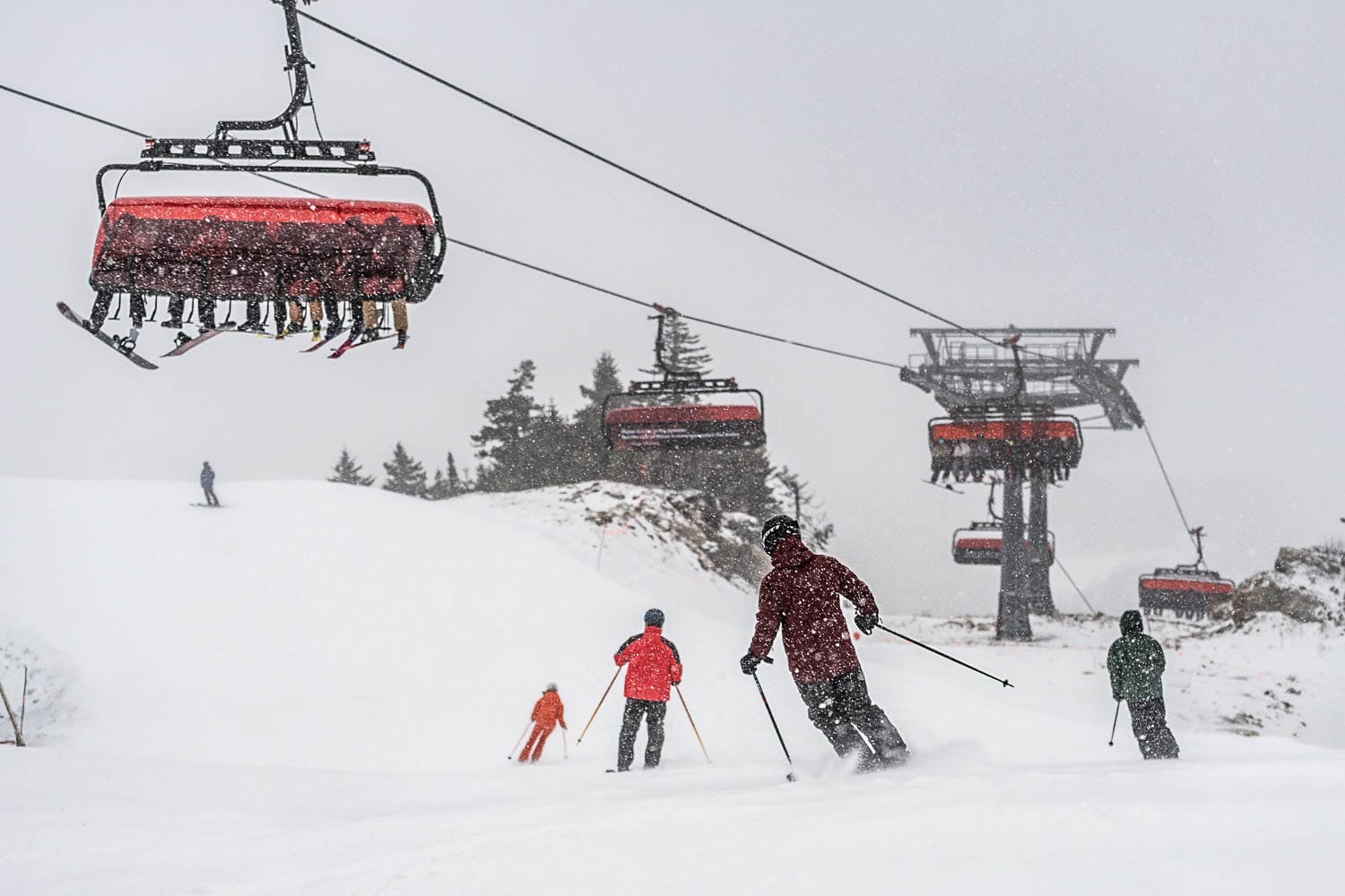
Weekly Snow News for North America, updated December 3, 2025: Season start remains challenging with light snowfall across the west; East Coast leads with deeper bases.
- Alaska's Alyeska leads the nation with 46" base and two-thirds terrain open
- East Coast shows stronger start with deeper bases than Rockies
- Wolf Creek offers 80% of terrain, most in lower 48 states
- Lake Louise posts 30" fresh snowfall, opens 92 runs in Canada
- Most western resorts still waiting for major snowfall to expand terrain
North America Snow Report and Ski Conditions 2025/26
North America's 25-26 season start continues to face challenges, although temperatures have become more consistently cold, with light snowfall across the west intensifying slightly over the past 48 hours. We haven't yet experienced a major dump or two to really kickstart the season.
Instead, resorts like Schweitzer and Jackson Hole remain cautious, delaying their opening, and most resorts that have opened are still offering only a few miles of slopes, with 95% or more of their terrain still closed.
There are exceptions - up in Alaska, Alyeska opened with snow lying 4 feet (1.2m) deep at the top and more than half of its runs available from day one. Further south, resorts like California's Mammoth, Colorado's Wolf Creek, and the Arizona Snowbowl boast much more open terrain. The most wintry weather has again been experienced on the East Coast and in the Midwest. Nonetheless, dozens of ski areas have opened over the past week, many aiming to capitalize on the recent Thanksgiving holiday.
Western Canada Snow Report and Ski Conditions
Western Canada's ski areas have experienced a cold and snowy start to December. In Alberta, there was light snow on Monday with highs near -1 °C, while in BC, conditions remain chilly, with fresh snow on Monday here too and consistent sub-zero mountain temperatures over the past few days.
Lake Louise (60/80cm / 24/32") now offers the most terrain open in Canada, with 92 runs available, including 16 groomed. Two terrain parks are operational, and the resort reports 75 cm (30") of fresh snowfall in the last week. "The stoke is sky high - it's been nothing but hooting, hollering, and big-grin energy all across the slopes this entire week.
Western Canada Weather and Snow Forecast
Ski areas in Alberta and British Columbia will receive consistent snowfall, with heavier falls Thursday into Friday across interior BC and the Rockies. Temperatures stay cold, preserving the early snowpack, while coastal resorts will see wetter snow at lower elevations. By Saturday, clearer skies will bring crisp conditions.
Eastern Canada Snow Report and Ski Conditions
The weather in eastern Canada has turned wintry again this week. Ontario resorts experienced heavy snow on Sunday, which eased into lighter flurries later, with highs around -1 °C.
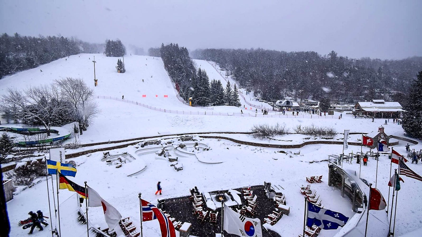
Quebec ski areas, including Tremblant (20/30cm / 8/12"), have seen consistent snowfall from Sunday through Wednesday, with temperatures dropping to -5 °C and remaining below freezing, ensuring fresh cover and good snowmaking conditions. Tremblant is, in fact, one of only a few centers currently open, with initial reports indicating about 10% of its slopes are accessible. More are expected to open this weekend.
Eastern Canada Weather and Snow Forecast
Canada's East Coast ski areas are expected to experience a wintry mix in the coming days. Eastern resorts will see snow showers midweek, with heavier falls on Thursday and Friday. At the same time, occasional rain may affect lower slopes. Temperatures remain cold inland, maintaining the snow cover, and Saturday is set to bring clearer skies.
US West Coast Snow Report and Ski Conditions
A little improvement with Californian resorts seeing low temperatures and light snow on Monday, with highs in the mid-30s Fahrenheit, but no sign yet of a big snowfall to really make a difference. Despite this, ski areas like Northstar have announced their delayed opening is now imminent (this weekend) with a bit of fresh snow and a lot of snowmaking efforts.
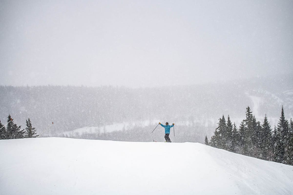
The Oregon and Washington mountains have remained cold, with snow flurries over the past few days. Further north, Alaska ski areas have seen some stormy weather with heavier snowfalls and temperatures plunging to -6 °C.
Alyeska (10/46" / 25/115cm) up in Alaska has about two-thirds of its terrain open already, along with one of the deepest bases in the country. It's edged ahead of California's Mammoth (12/40" / 30/101cm) in terms of open terrain. Most of the rest of the ski areas along the west coast have delayed opening or just half a mile or two (less than 5%) of their terrain open so far.
US West Coast Weather and Snow Forecast
West Coast ski areas face mixed conditions for the rest of this week, with the Pacific Northwest experiencing a series of steady storms bringing fresh snow. At the same time, California's Sierra Nevada is expected to see lighter snowfall and occasional rain at lower elevations. Temperatures trend colder inland, preserving the snowpack so far, with mid-mountain slopes and higher elevations enjoying improving coverage and hopefully offering powder days by the weekend.
US Rockies Snow Report and Ski Conditions
The Rockies are experiencing a mixed early-season picture, with some resorts already offering extensive terrain while most still have very limited slopes open or have delayed opening altogether. Thanksgiving storms brought fresh snow across Colorado, Utah, and Montana, enabling resorts to open more runs.
Wolf Creek (20/20" / 50/50cm) has the most terrain open in the main part of the US, with 80% of its slopes available, only surpassed by Alaska's Alyeska. It also boasts the largest amount of terrain open in the country.
Recent days have seen some of the biggest snowfalls in the past month, although it's not huge; Snowbird has received 15" (37cm) in 72 hours, and Jackson Hole now plans to open on Thursday, 4th December. Conditions remain cold, with sub-zero nights supporting snowmaking, and further snowfall is expected midweek, particularly in Colorado's central mountains.
US Rockies Weather and Snow Forecast
The Rockies will experience light snow early, particularly Thursday into Friday, with likely modest accumulations. Temperatures stay well below freezing, dropping sharply at night, which is good news for snowmakers. Winds decrease midweek before picking up again by Saturday, resulting in crisp, cold conditions at resorts.
US Midwest Snow Report and Ski Conditions
It's been a good week for midwestern ski areas, with some decent snowfalls and low snowmaking temperatures reported since the weekend. Several dozen ski areas have opened slopes across the region now, with Ski Brule (24/48" / 60/120cm) in Michigan posting the deepest early-season snow lying and packed powder on its slopes.
Alpine Valley Resort (1/3" / 3/8cm) in Wisconsin is reporting a very thin base but also noted 11 inches (27cm) of snowfall over the weekend, and says around 70% of its terrain, about 15 of 21 slopes, are already open for the season.
US Midwest Weather and Snow Forecast
Midwest ski areas should experience mostly cold, settled weather over the next few days. Light snow showers will drift through Thursday and Friday, adding a dusting to pistes, while clearer skies dominate Saturday. Temperatures remain well below freezing, ensuring snowpack stability, although winds may pick up at times, leaving crisp, chilly conditions across regional resorts.
US East Coast Snow Report and Ski Conditions
Sunday River 30th November
It still looks very much like winter in the eastern US, with more centers open here and a good fall of fresh snow to start the week, providing some excellent powder conditions for some. Unlike most areas in the west, centers that are open typically have 10-25% of their terrain available, compared to less than 5% at most western resorts.
Snow depths in the Appalachians are also deeper than in the Rockies right now, with Vermont's Smuggler's Notch (12/27" / 30/66cm) at the top of the snow depth chart. Killington (16/24" / 40/60cm) has the most terrain open in the east, even though only 20% of its runs are currently available.
US East Coast Weather and Snow Forecast
East Coast ski areas face a wintry weather mix for the rest of this week: northern resorts in Vermont and Maine should see steady snow showers and colder temperatures, building fresh cover. At the same time, the mid-Atlantic slopes will experience lighter flurries with occasional rain at lower levels. Nights remain sharply cold, great for snowmaking, and the weekend should see crisp, bright skiing conditions.