N. America & Canada Weekly Snow Roundup #293
Weekly Snow News for North America, updated 17 December 2025: Heavy snowfall boosts inland resorts as polar cold grips the Midwest and East.
- Warm Pacific storms limit coastal snowfall
- Inland resorts build deep early-season bases
- Polar cold boosts Midwest and East
- Christmas conditions strongest away from coasts
North America Snow Report and Ski Conditions 2025/26
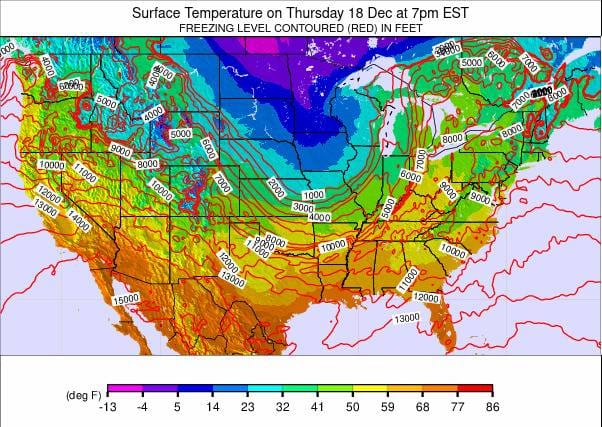
There have been no major changes in the early-season weather trends across North America. The most notable feature remains temperatures far warmer than usual from the Pacific, meaning much of the incoming moisture is falling as rain rather than snow at quite high altitudes. It becomes drier and colder further inland, so central British Columbia east into Alberta, as well as northern US states like Montana and Wyoming, remain in the ideal zone.
These inland regions have been receiving heavy snowfall again this past week, resulting in the deepest snow and most terrain open as Christmas approaches. Meanwhile, a polar vortex has brought very cold temperatures, fresh snowfall, and excellent snowmaking conditions to the Midwest and East, making winter feel much more typical there.
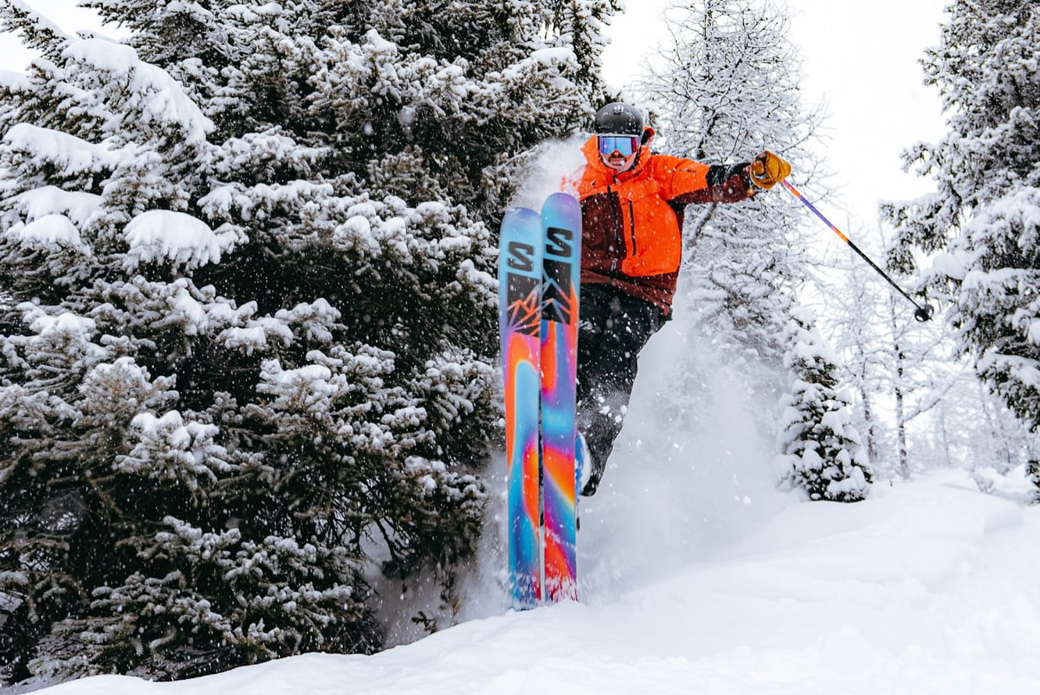
Western Canada Snow Report and Ski Conditions
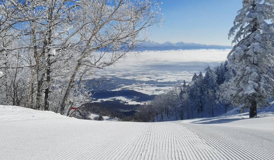
Western Canada continues to show a sharp contrast across locations. Inland resorts are benefiting from cold air meeting Pacific moisture. Lake Louise (32/45”) is now among the most extensive ski areas in Canada and nearly the top overall in North America, after receiving 16” in the past 48 hours and 28” over the past week.
Lake Louise now has 114 runs open, two terrain parks operating, and almost all lifts running. Revelstoke (20/60”) has also reported substantial snowfall. Further west, colder air has been in short supply, limiting snowfall. While Whistler Blackcomb (0/43”) has expanded high alpine terrain, resorts such as Cypress Mountain have delayed opening, citing unusually warm conditions.
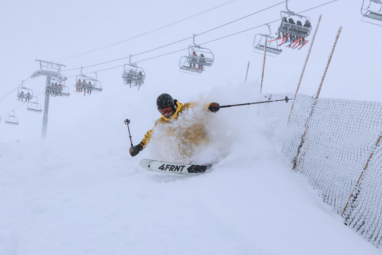
Lake Louise | 11th December
Western Canada Weather and Snow Forecast
Another productive week of snowfall is expected inland, with 5–8” forecast across Alberta and interior British Columbia. Coastal resorts are likely to see lighter totals of just 1–2”.
Eastern Canada Snow Report and Ski Conditions
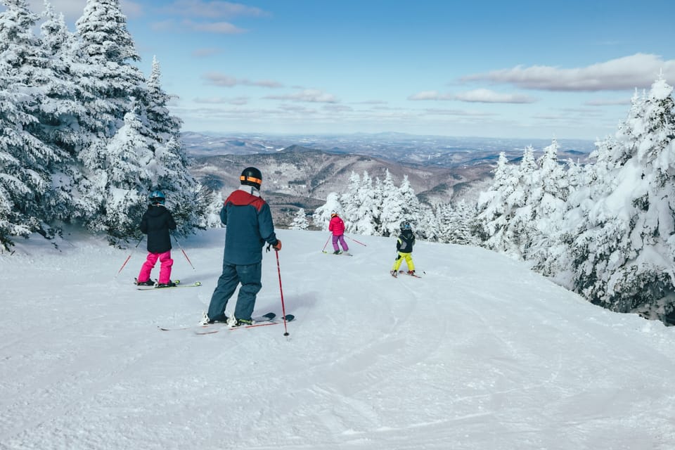
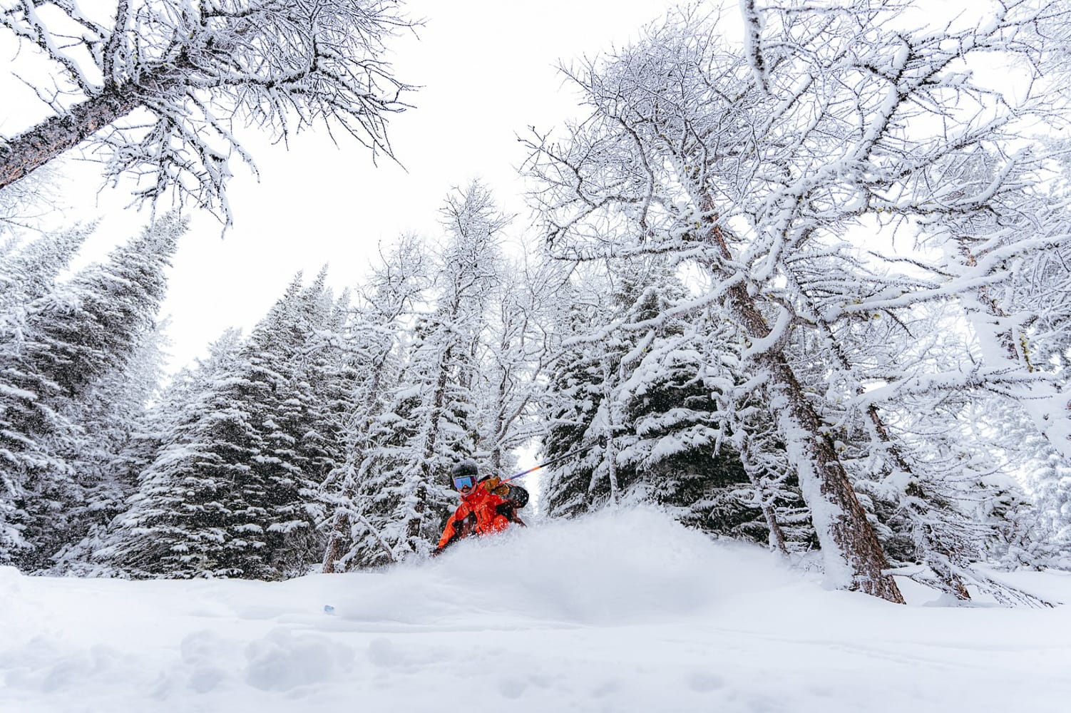
Tremblant 12th December
It has been a solid, seasonable December week across Eastern Canada. Temperatures have remained consistently below freezing, with overnight lows of -10°F to -4°F on higher terrain. Unsettled conditions have brought regular snow showers, typically delivering 2–4” in a 24-hour period.
Snowmaking conditions have been excellent. Tremblant (12/16”) leads the region for open terrain, with around 40% of slopes currently skiable.
Eastern Canada Weather and Snow Forecast
Cold and snowy conditions continue, with a further 2–4” expected by the end of the week to refresh piste cover.
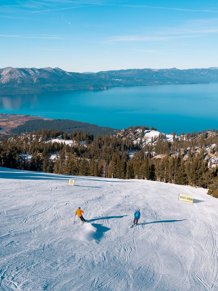
US West Coast Snow Report and Ski Conditions
A clear north–south divide persists along the US West Coast. California remains largely dry, while Oregon and Washington have seen more frequent Pacific systems. Unfortunately, unseasonably warm temperatures mean much of the precipitation has fallen as rain, resulting in limited snowfall and historically late starts at some resorts.
Most areas remain closed or only partially open. Mammoth continues to lead California with around 40% of terrain open. Alyeska in Alaska reports the deepest snow on the coast.
US West Coast Weather and Snow Forecast
Colder air is expected to arrive later this week. California resorts could receive 10–15”, Oregon 8–12”, and Washington 12–18”, with temperatures cold enough to support dry snowfall.
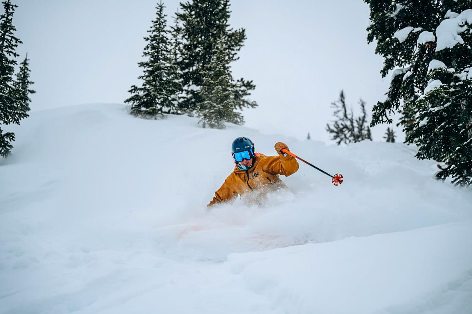
US Rockies Snow Report and Ski Conditions
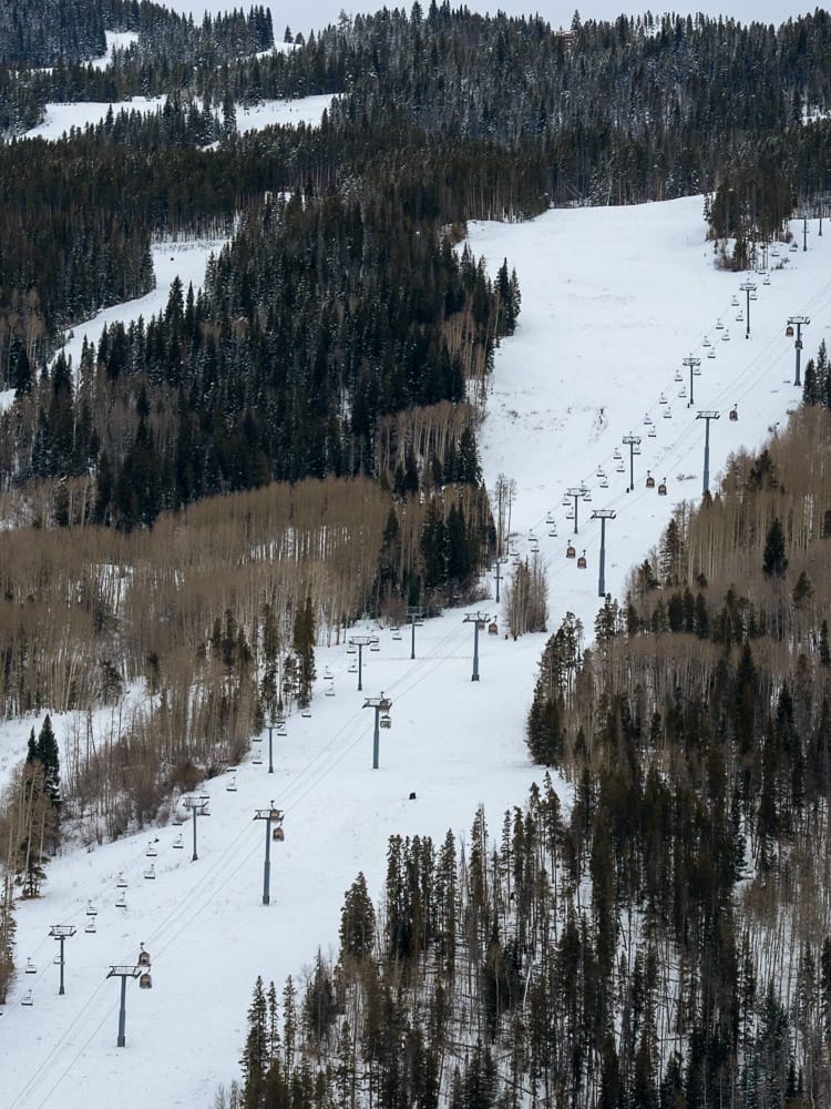
It has been another difficult week in the Rockies, with temperatures remaining 15–20°F above normal. Sunshine has dominated, and snow levels have stayed high, meaning much of the limited precipitation has fallen as rain. Many resorts still have less than 10% of terrain open, although most are now offering at least limited skiing.
Whitefish Mountain Resort in Montana reports the deepest snow in the region, while Wolf Creek in southern Colorado has the most terrain open and claims full coverage.
US Rockies Weather and Snow Forecast
A return to wintry conditions is expected, with 10–15” forecast for Colorado, 12–18” for Utah, and similar totals across Montana and Wyoming.
US Midwest Snow Report and Ski Conditions
The early season is shaping up well across the Midwest following the arrival of a polar vortex. Very cold temperatures, some natural snowfall, and excellent snowmaking conditions have allowed most ski areas to open.
Resorts across Minnesota, Michigan, and Wisconsin reported 6–12” of snowfall heading into the weekend. Cascade Mountain has the deepest snow, while Whitecap Mountain was among the earliest to open.
US Midwest Weather and Snow Forecast
Light snowfall of 2–4” is expected, with some areas seeing up to 6” by Friday, alongside continued excellent snowmaking conditions.
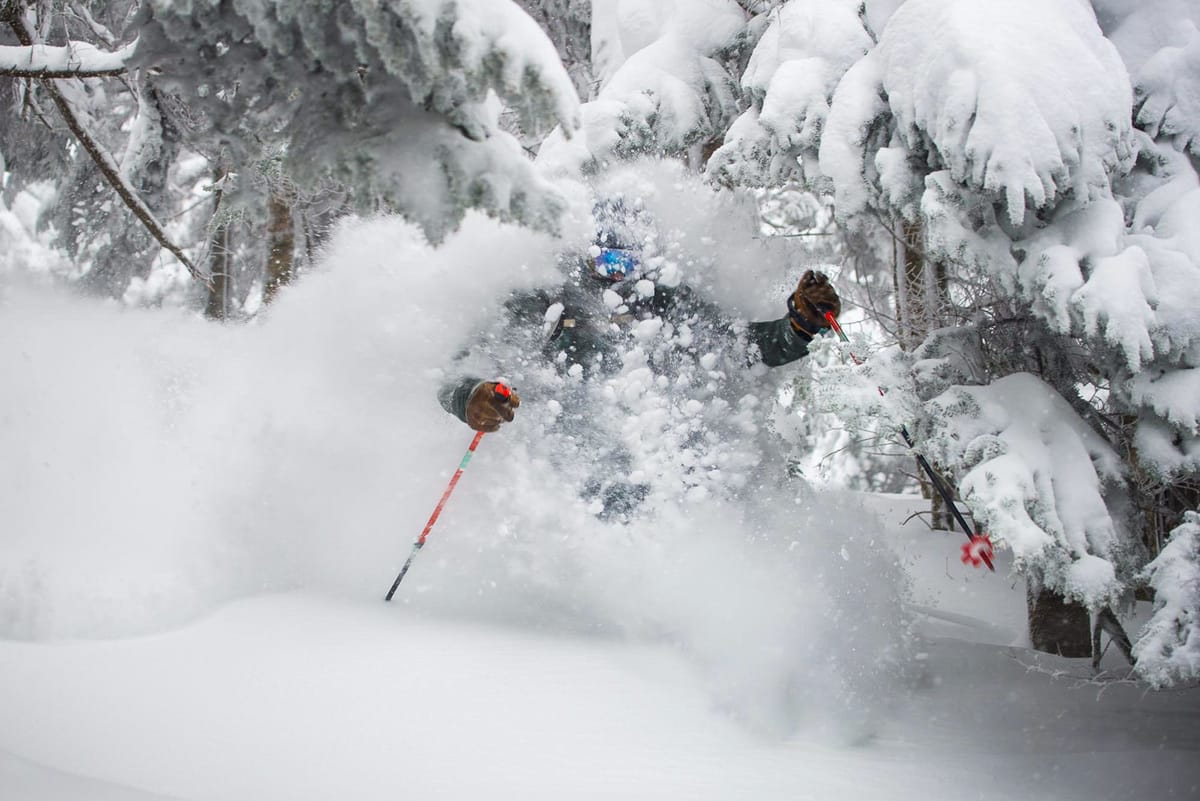
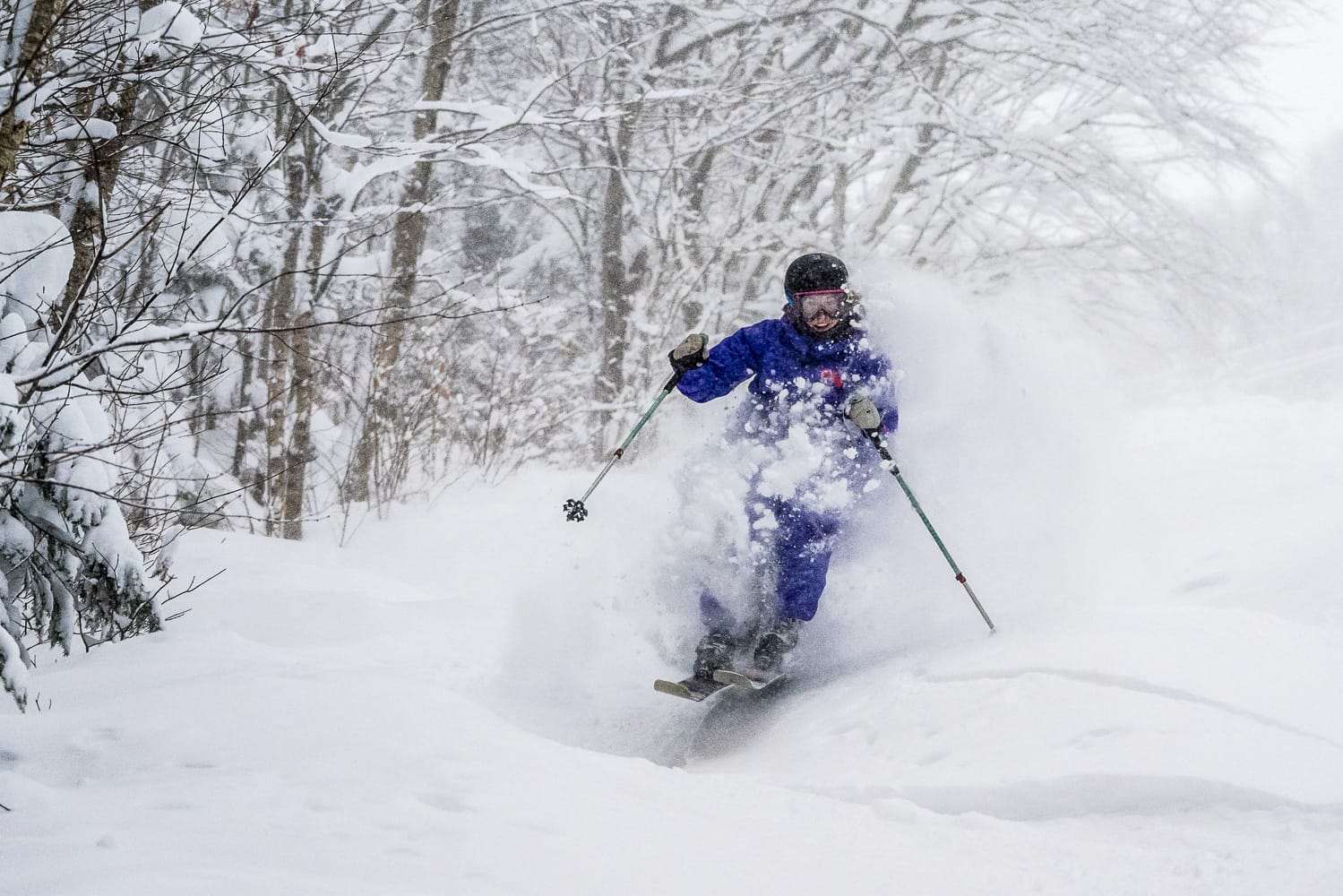
US East Coast Snow Report and Ski Conditions
Classic December conditions continue along the US East Coast. Temperatures remain well below freezing, with overnight lows near 0°F at higher elevations. Frequent light snowfall, often a few inches per day, has maintained excellent surface conditions.
Killington has the most terrain open, around half its slopes, while Stowe is close behind. Smugglers’ Notch reports the deepest regional snowpack.
US East Coast Weather and Snow Forecast
Light snowfall continues, with Vermont expecting 4–6”, New Hampshire slightly less, and New York State 2–4”, all with sustained cold temperatures.