Heavy Snowfall Begins in the Alps
Ski resorts in the Alps have begun reporting snowfall at the start of a weekend storm that looks like it will bring the most snowfall of the season over the next 48 hours.
Cervinia – open to May – already posted two feet (60cm) of fresh snowfall in the 24 hours to Friday morning and forecasts point to high slopes in the north-western Alps receiving over a metre of snowfall by Sunday.
Europe’s deepest snowpack has also increased back up to 3 metres (10 feet) for the first time in two months on high slopes above both Avoriaz and Tignes.
The negative side of the storm is that the freezing point is currently between around 1200 and 1800m, meaning lower lying slopes and resorts have seen rain and may see heavy rain over the next few days. This could be bad news for those with only thin cover on low runs at the same time as high resorts see their best conditions in months.
Inevitably the avalanche danger level has begun to rise with ski areas in the region most impacted by the snowfall are widely up to level 3 or “considerable” on the scale to five. This is considered the most dangerous on the scale as studies have shown skiers and boarders opting to take a risk at level 3 when they wouldn’t at 4 or 5, sometimes with fatal consequences. Levels look set to rise further.
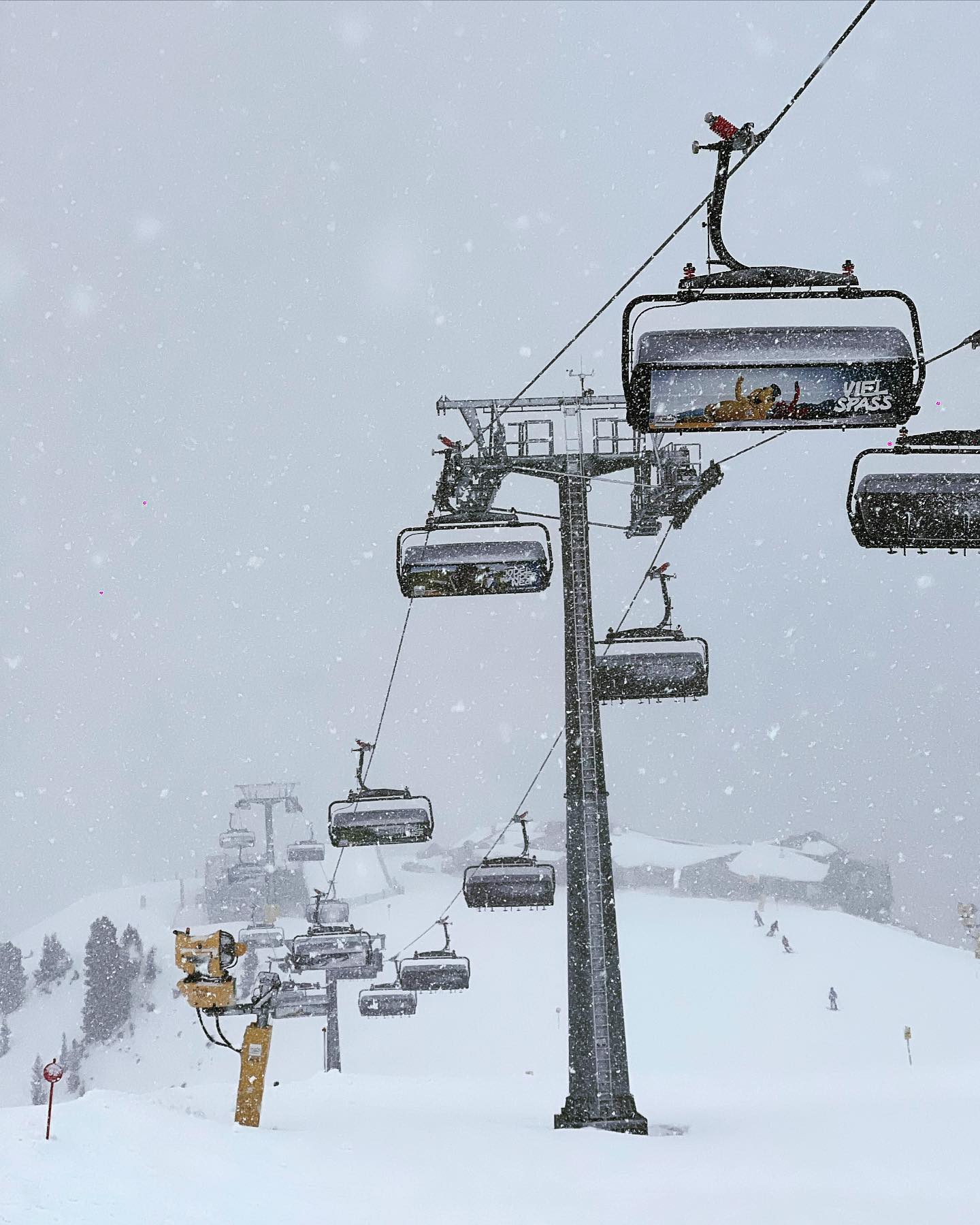
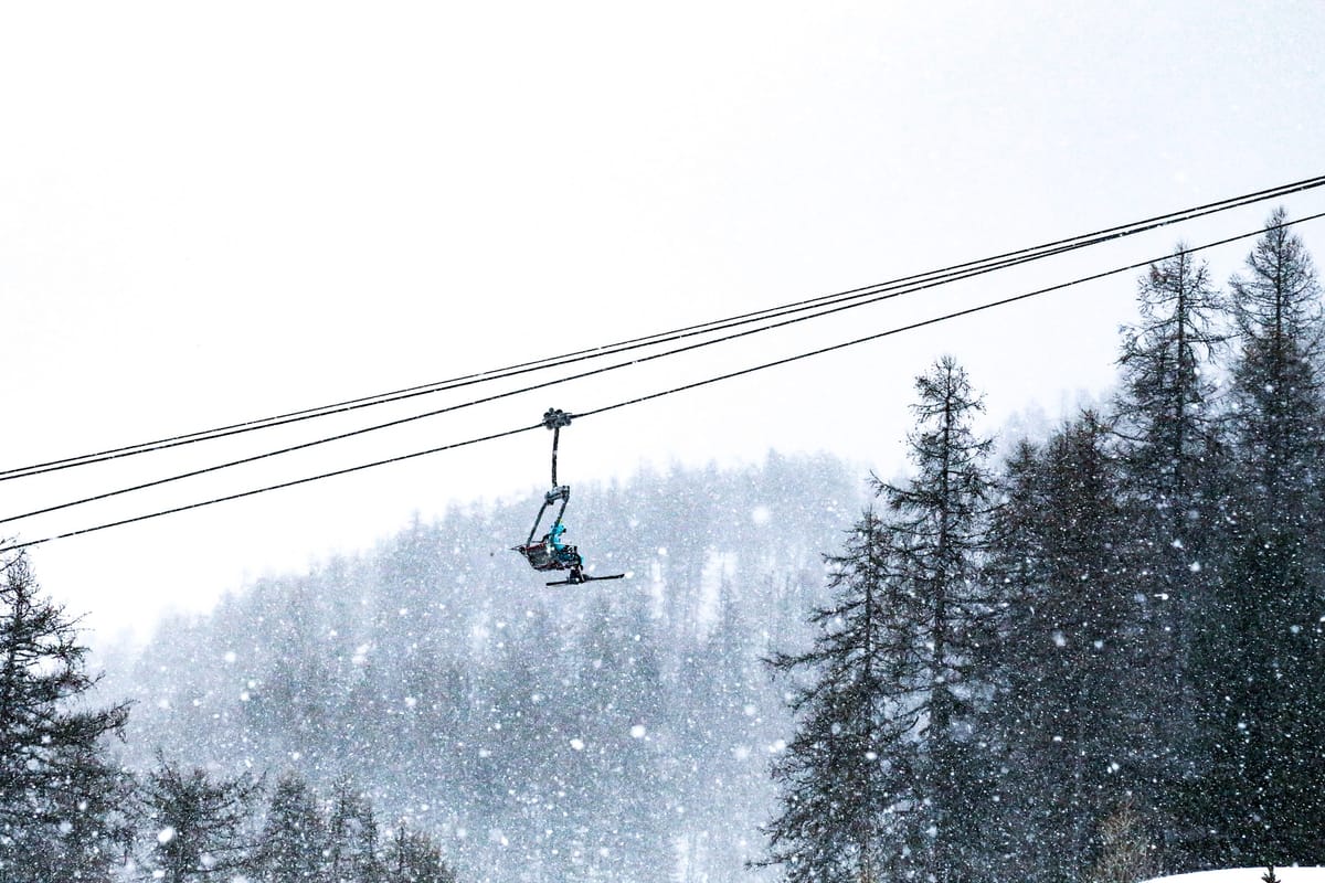
Vars pictured top, Zillertal Arena below.