Europe Weekly Snow Roundup #296
Weekly Snow News for Europe, updated 7 January 2026: Eastern Europe and Scandinavia see significant fresh snow as the Alps prepare for a return to wintry conditions.
Europe Snow Report: Arctic Blast Hits North as Alps Await Storms
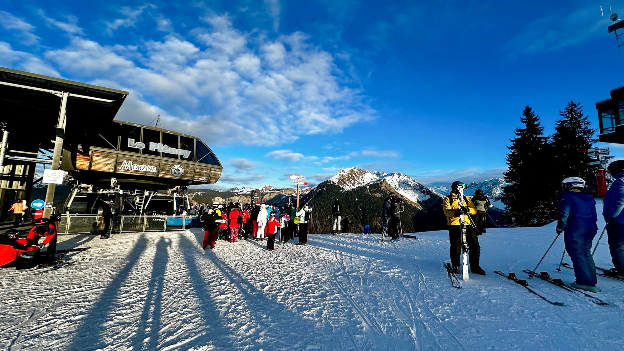
The forecast of heavy snowfall in the southern and western Alps largely failed to materialise after the New Year. However, many areas did see a few centimetres as conditions became more unsettled. For most, though, it's now been a month since the last significant snowfall.
That means there's little or no fresh snow off piste, but major resorts still have most of their groomed runs. In fact, many managed to increase their coverage during the peak New Year week, although some skiers reported icy, hard-packed conditions.
There has been fresh snow this week, particularly in northern Europe, where centres in Scandinavia, Scotland and north-eastern Europe (Czechia, Poland and Slovakia) have benefited from an “Arctic blast" of cold air from the north, bringing bitterly cold temperatures and 20-50 cm of snowfall. There are also signs that a weather system will bring snowfall (along with strong winds and potentially heavy rain) to the north-western Alps.
- SkiWelt offers the most open terrain in Austria.
- Cold temperatures preserve pistes despite dry spell.
- Snow forecast for the northern Alps midweek.
Austria Snow Report and Ski Conditions
It’s been a cold week in the Austrian Alps, with temperatures below freezing across the valley floors and throughout the day, not just overnight. Lows at higher elevations have dropped below -10 °C in most areas. There’s been some snowfall, but for most it has been limited to an occasional centimetre here and there rather than anything significant. There's been much more cloud and flat light, too, although sunshine has broken through at times.
The SkiWelt (30/50cm / 12/20”), home to resorts including Ellmau, Brixen, Soll and Westendorf, has finally overtaken Ischgl to offer the most terrain open in the country, with around 200km of slopes. It has stayed ahead of larger areas like the Arlberg (60% open) and Saalbach (50% open).
Austria Forecast
A changeable, wintry pattern for the latter half of this week, with several waves of snow across the northern Austrian Alps. Light snow is expected early in the period, followed by a stronger pulse that will bring more widespread accumulations midweek, particularly at higher elevations. Summit temperatures often range between –6 °C and –15 °C, dropping even lower overnight, while bases fluctuate near freezing before turning colder later in the week. Snow lines vary but generally lower as colder air arrives. Winds can strengthen on exposed ridges, and visibility may deteriorate during heavier snowfall.
- Les 3 Vallées expands open terrain.
- Dry start to January for French resorts.
- Heavy snow and colder temperatures forecast.
France Snow Report and Ski Conditions
France had been forecast to see some of the biggest snowfalls in the first few days of the New Year, with some snow-starved lower-lying centres excitedly expecting up to 70 cm (28”) on January 1st/2nd. The failure of even 10% of that to arrive after a mostly dry December is a bit of a blow. A few areas were posting a centimetre or two (an inch) of fresh snow, but nothing significant, meaning some resorts have now gone a month without much fresh.
Les 3 Valleys (55/105 cm / 22/42") has managed to open a little more terrain, about 20 more runs, now up to 270 of its 360 runs are skiable; however, the percentage of more advanced terrain open, which requires more snow cover, is limited to 14 of the 38 black runs.
France Forecast
The French Alps will turn markedly colder as snowfall increases. At 1000 m, temperatures hover between –3°C and –6°C, while at 3000 m they plunge to –18°C to –25 °C. Light flurries midweek give way to heavier, more persistent snow, with significant accumulations around high elevation massifs such as Mont Blanc as we approach the weekend. Winds are expected to strengthen towards the end of the week, and a period of warm air driven in by the front is likely to push the snowfall/rainfall line temporarily up to 1500-1800m before dropping again to around 1000m.
- Milky Way leads with 200km open.
- Cold weather maintains snow for Olympics prep.
- Unsettled conditions bring light snow.
Italy Snow Report and Ski Conditions
Unsettled conditions persist across much of Italy, with plenty of cloud and some areas seeing light snowfall, though not enough to create much fresh cover, and most resorts continue to rely primarily on machine-made snow. With the start of the 2026 Winter Olympics now only four weeks away, interest in snow cover and the lack of much natural snow is intense.
As with the other big four alpine nations, though, most of Italy's larger resorts have plenty of terrain open. The Milky Way (Via Lattea) (20/80cm / 8/32”) on the country’s western border with France now has the most runs open of any linked area, with over 200km (125 miles) of runs, following fresh snowfall in the final weeks of December there.
Italy Forecast
A cold, mostly settled pattern dominates from 7 January, with only light snowfall expected mid-week across the Dolomites and the broader Italian Alps. Temperatures remain very low, with Dolomite highs around –6 °C, nights dropping to –13 °C or colder, and summit temperatures widely between –14 °C and –21 °C, with bases often between –8 °C and –2 °c. Winds stay generally light to moderate, though exposed ridges may see brief gusts. Visibility varies, with clearer spells punctuated by occasional low cloud during weak fronts.
- Fresh snow for eastern and northern resorts.
- Glacier 3000 holds the world's deepest snowpack.
- Zermatt-Cervinia 80% open at altitude.
Switzerland Snow Report and Ski Conditions 2025/26
Some Swiss ski areas have reported fresh snowfall this week. Still, unlike those in the west and south of the country that had seen some snowfall in the latter half of December and were expected to again at the start of this month, it was resorts mostly to the east and north that reported 10-20cm (4-8 inches) of fresh at the weekend. They benefited from the same arctic air that reached parts of Austria and northeastern Europe. Most areas, though, stayed dry.
On average, the Swiss snowpack is a little under 50% its seasonal norm for early January, but as elsewhere in the Alps, most runs above 1800m are open; it's the smaller, lower centres that are still suffering. The 4 Vallées around Verbier (20/120cm / 8/48”) has about 240km (150 miles) or 60% of its terrain open. The higher altitude slopes around Zermatt-Cervinia (10/85cm / 4/34”) are at 80% open. Gstaad’s Glacier 3000 (170/380cm / 68/152”) still has the world’s deepest reported snowpack.
Switzerland Forecast
The Swiss Alps should see colder, more unsettled weather in the latter half of this week. Temperatures range from around –4°C to –1°C at 1000 m, dropping to roughly –17°C to –22°C at 3000 m. Light snowfall should begin mid-week, intensifying on Friday and Saturday, especially at higher elevations. Initially, rain may reach up to about 1600m before heavy snowfall moves in. Winds strengthen on Thursday and Friday, reaching moderate to occasionally strong levels on exposed ridges. Cloud cover dominates, though brief sunny spells may appear between fronts.
- Pyrenees conditions among best in Europe.
- Grandvalira leads with 90% terrain open.
- Piau-Engaly reports 97% slopes skiable.
Pyrenees Snow Report and Ski Conditions 2025/26
Cold weather has dominated the Pyrenees over the past week, with daytime highs rarely rising more than a degree or two above freezing, even at low elevations, and overnight lows well below -10C at altitude. Otherwise, the weather has been mixed, with most areas seeing a few centimetres (an inch) of snowfall now and then, interspersed with periods of sunshine and some cloudy, low-light days, but dry.
Conditions in the region remain among the best in Europe at present, with most areas between 70 and 90% open. Andorra's giant Grandvalira (40/80cm / 16/32”) leads in open terrain, with about 90% of its slopes – nearly 200km (125 miles) – skiable. Piau-Engaly (59/150cm / 20/60") on the French side, with 97% of its slopes open, reports the deepest snowpack in the Pyrenees.
Pyrenees Forecast
A return of more wintry weather is forecast, with frequent snow showers across the Pyrenees. Snow showers on Wednesday should be followed by heavier snowfall on Thursday and Friday, with temperatures ranging from about –3 °C to –19 °C depending on elevation. Very cold upper‑mountain temperatures are expected, down to –16 °C to –21 °C at 2,300–2,500 m, with bases remaining below freezing 24-7. Winds remain moderate, occasionally gusty on exposed ridges, and visibility will drop during heavier snowfall.
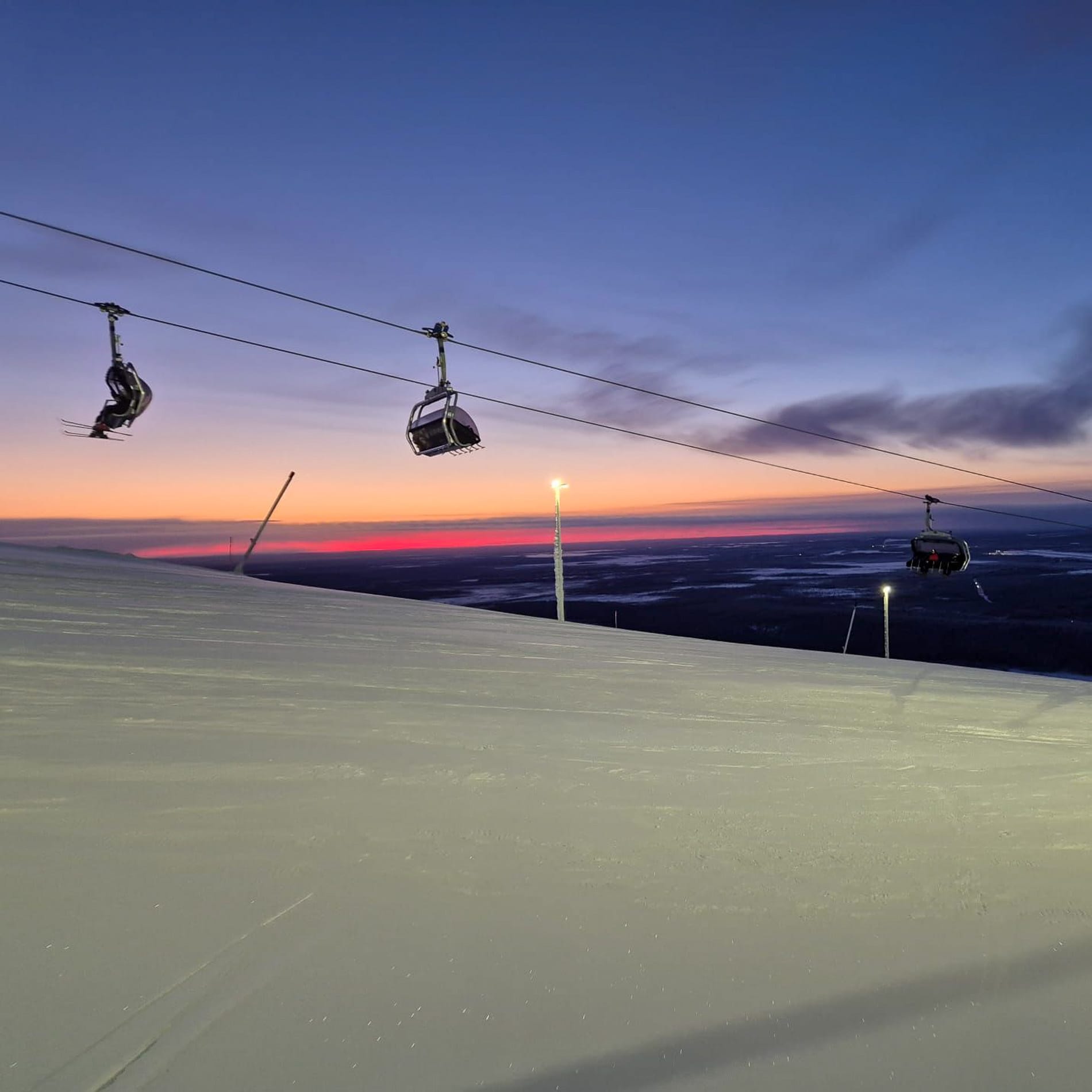
- Levi sees sun return after polar night.
- Roldal posts 25cm fresh snow.
- Åre has most terrain open in region.
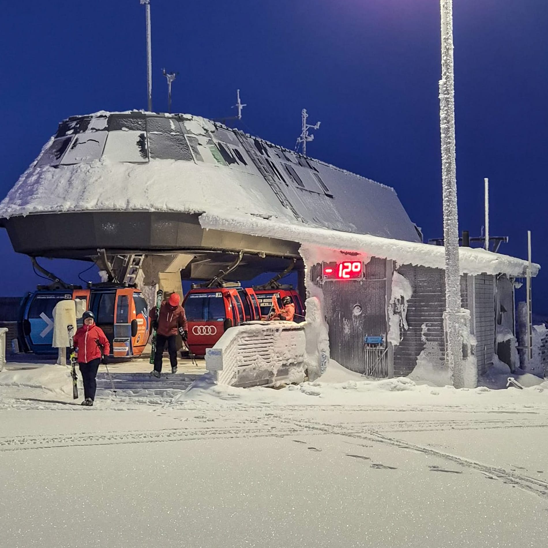
Scandinavia Weather and Snow Forecast
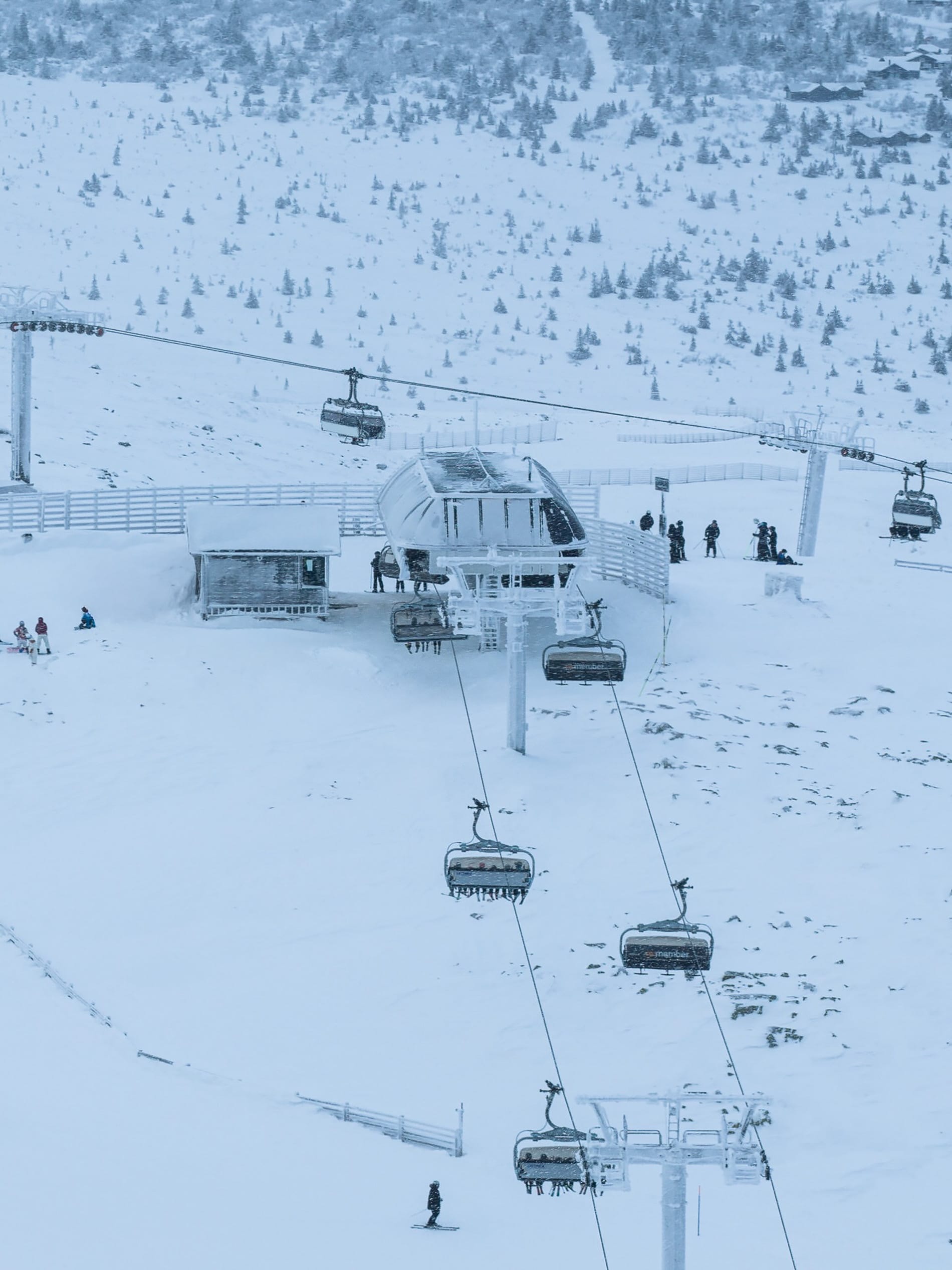
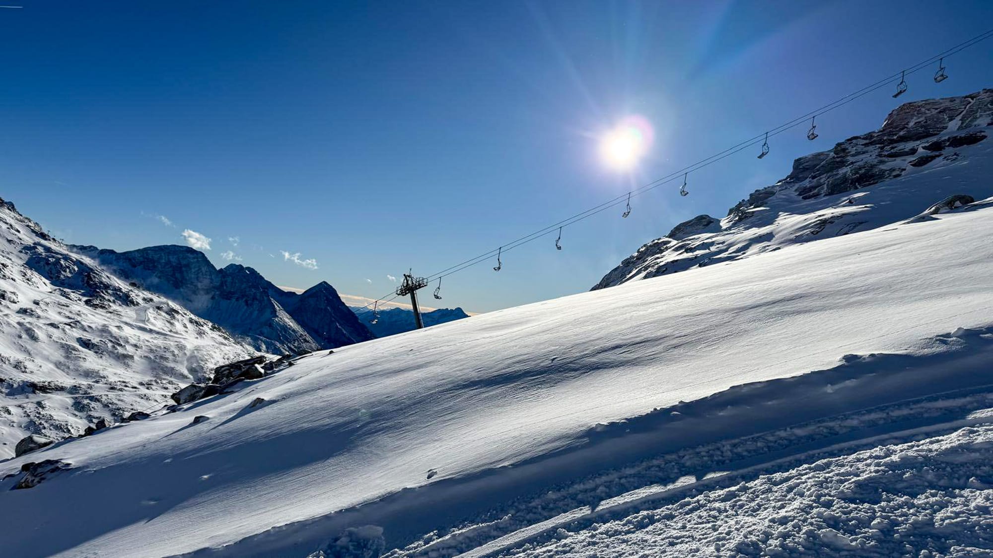
Trysil, Norway | 6th January
Scandinavian ski areas have had a good week, with plenty of fresh snowfall and daylight hours gradually increasing – Levi in northern Finland saw the sun briefly return above the horizon on New Year’s Day for the first time in three weeks. Snow depths remain about half their season average in Western Norway, but Roldal (3-0/40cm / 12/16”) posted 25cm (10”) over the New Year’s holiday. The region’s largest ski area, Sweden’s Åre (25/40cm / 10/16"), continues to have the most terrain open, although it's still only around half of its slopes, with around 45km (28 miles) of runs in total.
Levi, Finland | 3rd January
Scandinavia Forecast
A deep Arctic air mass keeps Scandinavia exceptionally cold through the rest of this week, with Norway, Sweden and Finland all experiencing severe low temperatures. Many major resorts report summit readings between –20 °C and –30 °C, with Finland’s Levi dropping below –35 °C at times. Bases remain very cold, often below –15 °C. Snowfall is generally light and intermittent, but blowing snow and very low wind chill are common, especially in exposed areas of the Norwegian and Swedish ranges. Visibility varies sharply, with clear spells interrupted by brief whiteouts. Winds strengthen with passing weak fronts, though no major storms are indicated.
- Tatranská Lomnica posts 30cm of fresh snow.
- Zakopane reports 20cm accumulation.
- Arctic air brings best conditions of season.
Eastern Europe Snow Report and Ski Conditions 2025/26
The snow started falling in Northeastern Europe on New Year’s Eve as Arctic air moved south, creating the best conditions of the season so far for most areas and bringing plenty of fresh snow at last. Ski areas in the Czech Republic, Slovakia and Poland were all winners, with Tatranská Lomnica (50/50cm / 20/20") posting Europe's biggest snow total for the 48 hours into New Year's Day, with 30cm (12") of fresh.
Many other ski areas in the region posted 15-25cm (6-10") accumulations in the same period, with Poland's famous ski town Zakopane (30/40cm / 12/16") reporting 20cm (8"). Less good news further south, with dry conditions and a return of warm temperatures at resort bases in Bulgaria.
Eastern Europe Forecast
More of the same, really, with colder, more wintry weather across Central and Eastern Europe, including frequent light to moderate snowfall in Poland, Slovakia and Czechia as temperatures drop well below freezing on upper slopes. Mountain highs often sit between –6 °C and –12 °C, with bases hovering around –2 °C to –5 °c. Further south, Bulgaria and the Balkan ranges remain variable, with current mild spells giving way to cooler air and renewed snowfall at altitude later this week. Resorts such as Bansko and Borovets may see mixed precipitation at the base but more reliable snow above 1,800 m. Gusty winds and low clouds remain possible during passing fronts.
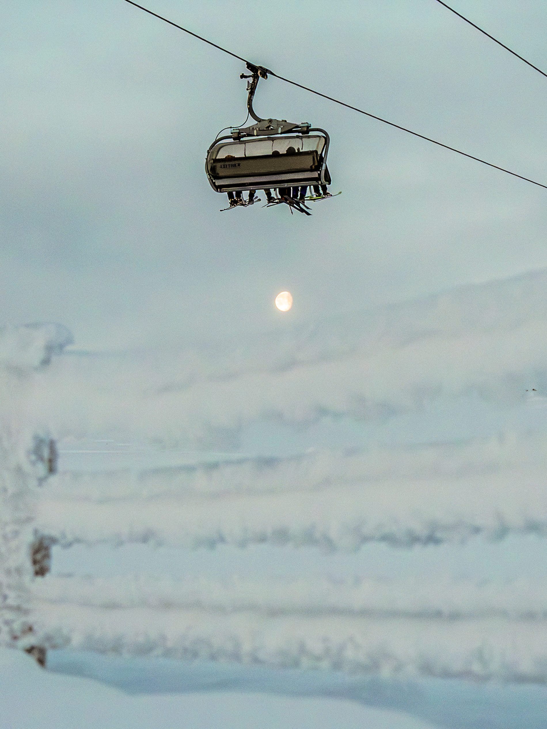
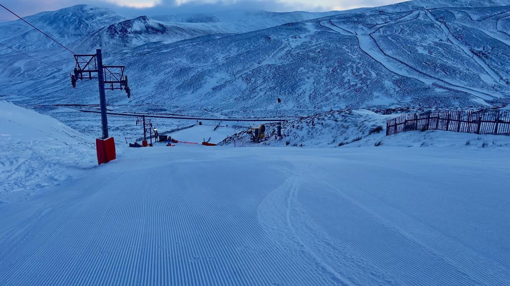
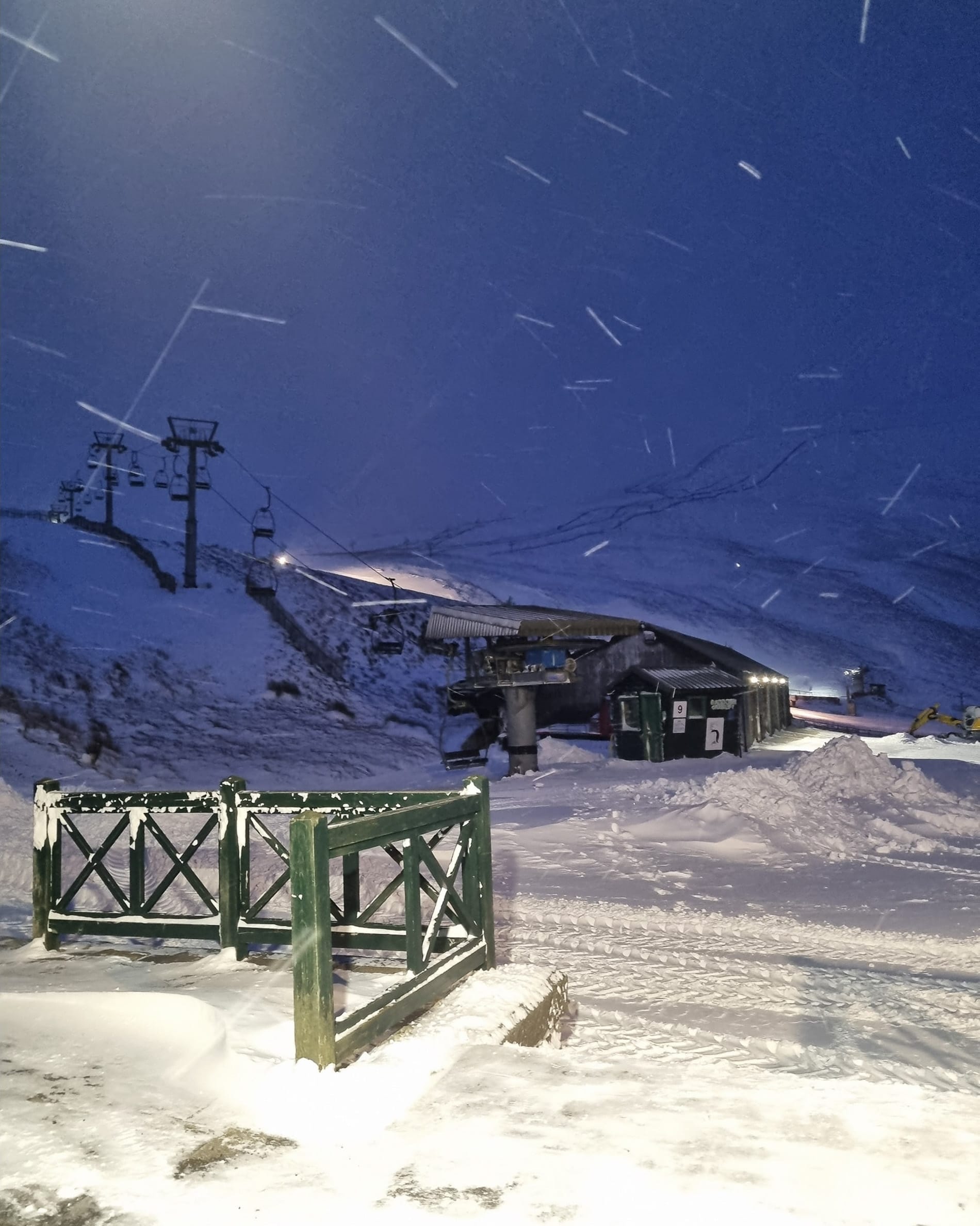
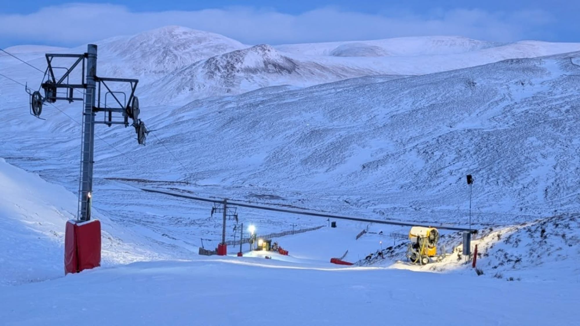
- Best week of season for Scottish ski areas.
- Cairngorm opens first top-to-bottom run.
- Amber warning brings consistent snow.
Scotland Snow Report and Ski Conditions 2025/26
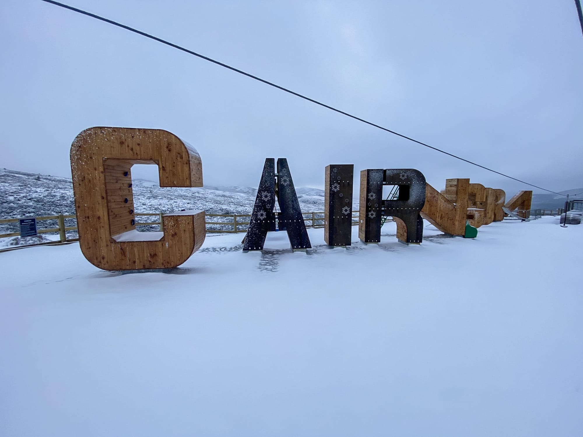
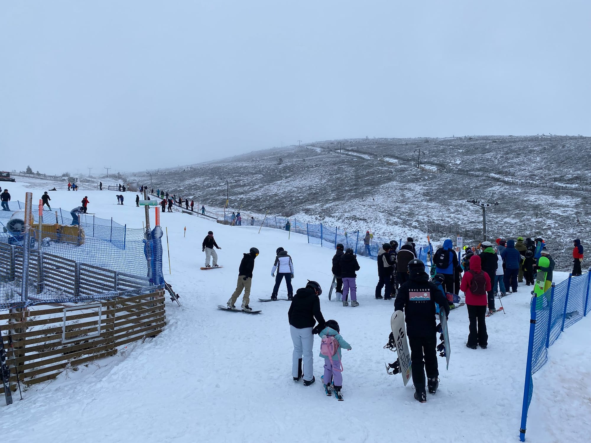
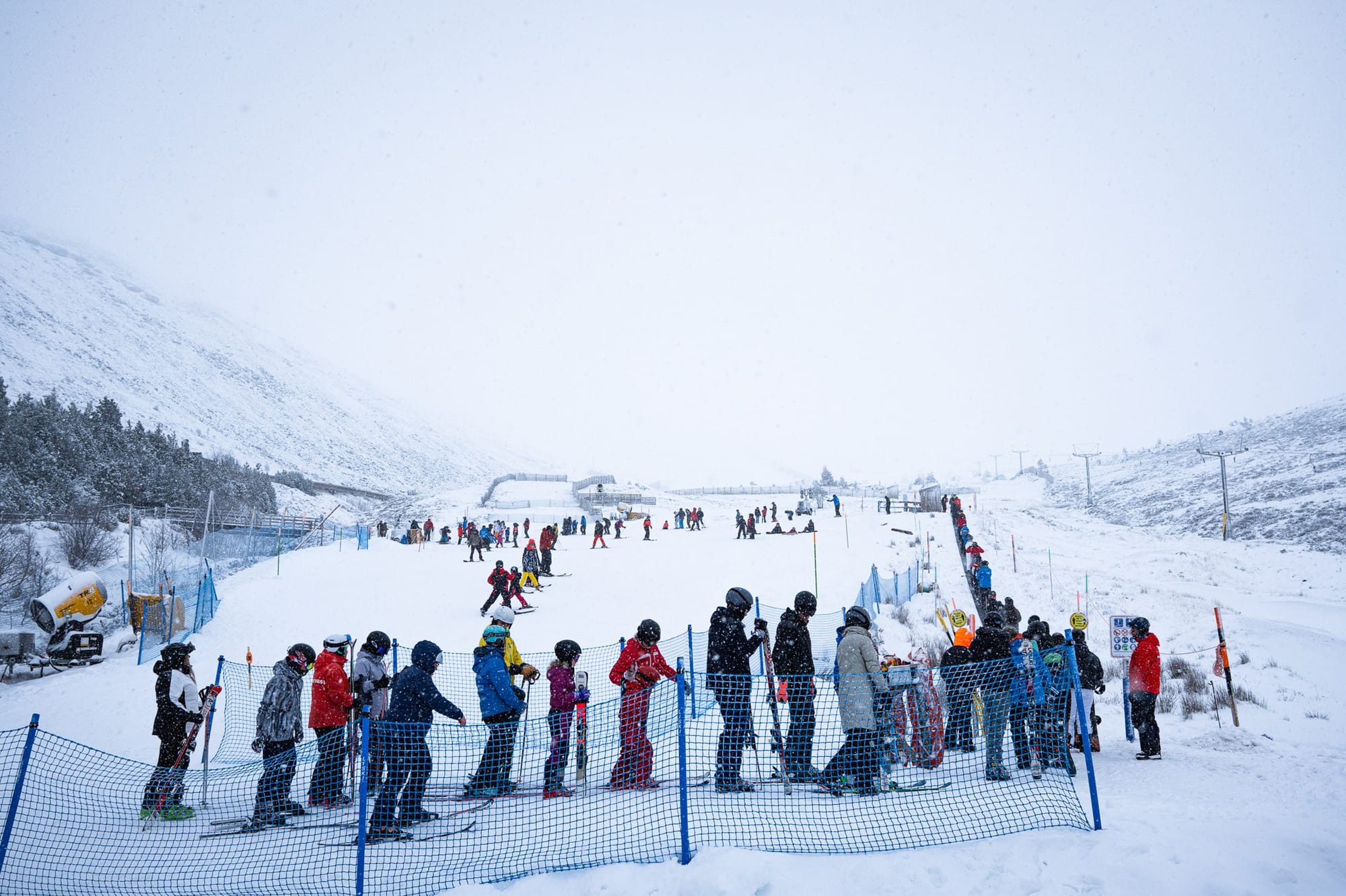
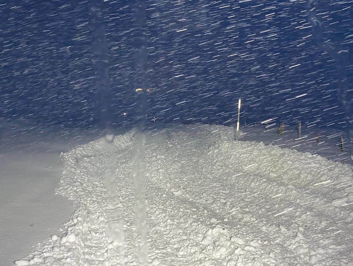
Cairngorm | 1-3rd January 2026
Scottish ski areas have had their best week of the season so far, with consistent low temperatures and regular snowfall. An amber winter weather warning from January 1-3 led to road closures to several centres for a time, and all have stressed that a good deal of snowfall is required to fill in runs and build bases before they can open terrain beyond short, beginner runs. That said, Cairngorm was the first to do so, opening its Ptarmigan T Bar at the weekend, followed by a top-to-bottom run as coverage allowed.
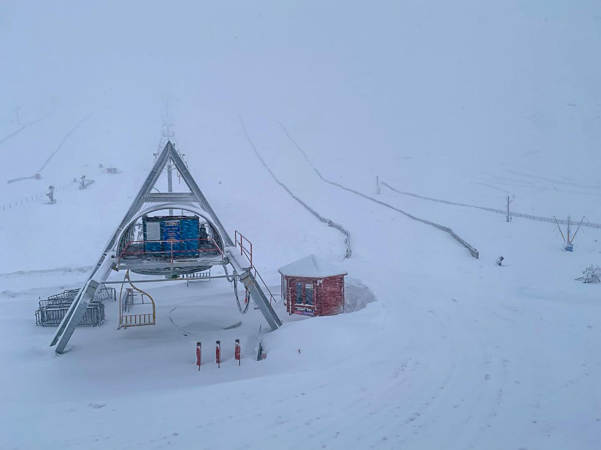

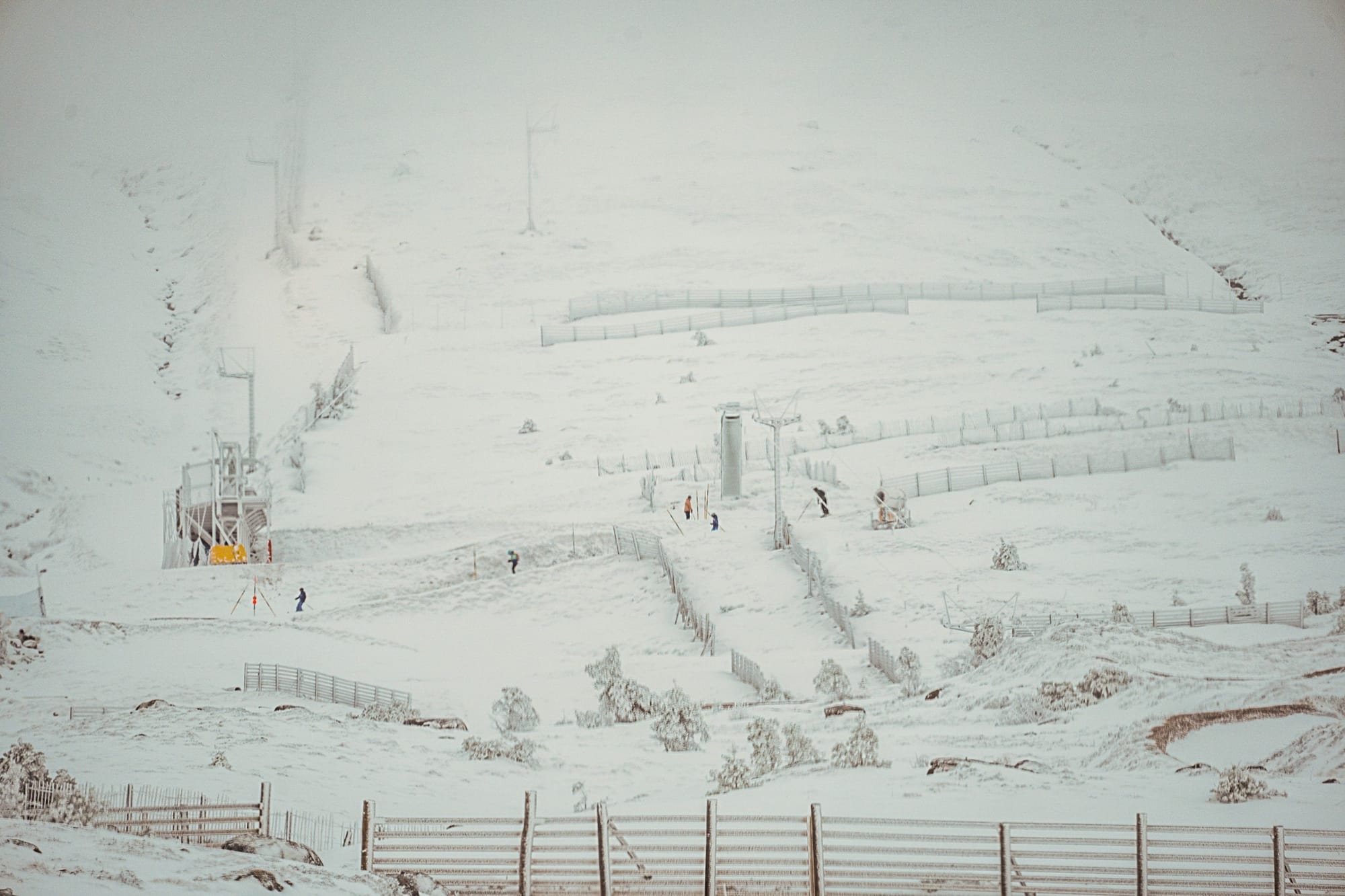
Glensee and The Lecht, Scotland | Jan 2026
Scotland Forecast
The cold, wintry pattern is set to continue with frequent snow and hail showers across the Northwest Highlands and lighter flurries reaching the Cairngorms and Glenshee. Summit temperatures stay extremely cold, often around –5 °C to –7 °C at 900 m, but feel closer to –15 °C to –20 °C in strong winds. Freezing levels sit very low, between 300 and 500 m, keeping most terrain frozen. Visibility varies sharply: clear spells inland, but coastal and western areas see frequent white‑outs in heavier showers. Winds remain gusty on exposed tops, with occasional squalls.
Wales
Finally, Wales has once again seen wintry weather with snow over much of the high ground.