The above table gives the weather forecast for Zurs at the specific elevation of 2085 m. Our sophisticated weather models allow us to provide snow forecasts for the top, middle and bottom ski stations of Zurs. To access the weather forecasts for the other elevations, use the tab navigation above the table. For a wider view of the weather, check out the Weather Map of Austria.
Click here to read further information on freezing levels and how we forecast our temperatures.
What a shame!
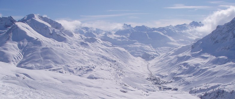
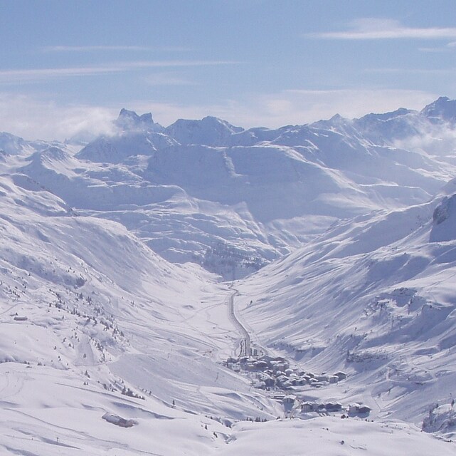
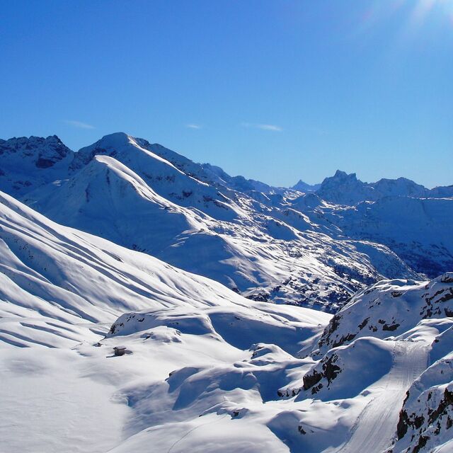
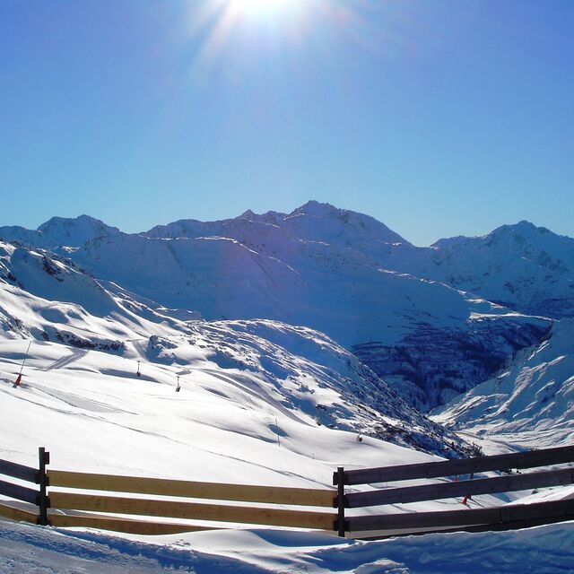
I revisited one of my favourite resorts last Monday as part of a ski safari day in the Arlberg. I have skied Zurs and Lech many times over the past 20 years and have always been impressed by the exclusiveness of the pistes offered in this high end resort; it was what made it so special.
Regrettably, the opening of the Flexenbahn connection (technical marvel that it undoubtedly is with the St Anton sector) has changed all of this for the worse.
Follow the ski circuits 'Run of Fame' and the 'White Ring' and the pistes resemble the M25 after a multiple collision. Sub-standard skiers on narrow connections is never a pretty sight and there were sections that were frankly dangerous. Worse still was the 20 minutes queue for the Ruffikopf cable car in Lech to commence the return leg at 3.00pm in the afternoon; a far cry from even as recently as last year when a mid afternoon ski to Zurs meant no queuing and empty pistes..
To put that in perspective I skied the Gschwandtkopf, which is a little hill in Seefeld, the following day. Small it might be but the American and Norwegian World Cup squads use it for race training when the World Cup is in nearby Garmisch. The slopes were deserted and in perfect condition. Truly millionaires skiing; a classic case of less is more!
What a shame!
I revisited one of my favourite resorts last Monday as part of a ski safari day in the Arlberg. I have skied Zurs and Lech many times over the past 20 years and have always been impressed by the exclusiveness of the pistes offered in this high end resort; it was what made it so special.
Regrettably, the opening of the Flexenbahn connection (technical marvel that it undoubtedly is with the St Anton sector) has changed all of this for the worse.
Follow the ski circuits 'Run of Fame' and the 'White Ring' and the pistes resemble the M25 after a multiple collision. Sub-standard skiers on narrow connections is never a pretty sight and there were sections that were frankly dangerous. Worse still was the 20 minutes queue for the Ruffikopf cable car in Lech to commence the return leg at 3.00pm in the afternoon; a far cry from even as recently as last year when a mid afternoon ski to Zurs meant no queuing and empty pistes..
To put that in perspective I skied the Gschwandtkopf, which is a little hill in Seefeld, the following day. Small it might be but the American and Norwegian World Cup squads use it for race training when the World Cup is in nearby Garmisch. The slopes were deserted and in perfect condition. Truly millionaires skiing; a classic case of less is more!
Free Snow-Forecast.com weather widget for your website
Embed the Zurs weather widget on your site for free. It provides a weekly snapshot of snow and rain conditions across all elevations. Follow the two quick steps to grab your custom code and paste it into your site. Choose between metric or imperial units. Click here to get the code.


 Nearest