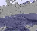
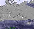
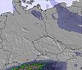
The above table gives the weather forecast for Zieleniec at the specific elevation of 935 m. Our sophisticated weather models allow us to provide snow forecasts for the top, middle and bottom ski stations of Zieleniec. To access the weather forecasts for the other elevations, use the tab navigation above the table. For a wider view of the weather, check out the Weather Map of Poland.
Click here to read further information on freezing levels and how we forecast our temperatures.
Zieleniec is a great resort for learner and beginner skiers/boarders. It's also good for more experienced riders looking to break in the legs prior to a real holiday. They have two new chairlifts built in 2008 making three in total and plenty of other drags accessing many other runs. Basically the whole resort is on one side of a hill, Czech Republic being the other side.
Zieleniec has a surprisingly decent snow park near the church at the bottom and three big air hits on the first run as you drive in to resort, a 5, 10 and 15 m hit, they're not too user friendly but there if you have the skills. The drag lift accessing these is only open on weekends. They dug out a Half pipe in 2008, this should be open for the 09/10 season.
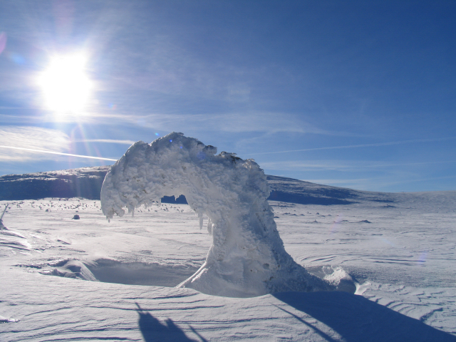
Due to the unreliable climate in Poland snow conditions vary considerably.
Zieleniec is a great resort for learner and beginner skiers/boarders. It's also good for more experienced riders looking to break in the legs prior to a real holiday. They have two new chairlifts built in 2008 making three in total and plenty of other drags accessing many other runs. Basically the whole resort is on one side of a hill, Czech Republic being the other side.
Zieleniec has a surprisingly decent snow park near the church at the bottom and three big air hits on the first run as you drive in to resort, a 5, 10 and 15 m hit, they're not too user friendly but there if you have the skills. The drag lift accessing these is only open on weekends. They dug out a Half pipe in 2008, this should be open for the 09/10 season.
Due to the unreliable climate in Poland snow conditions vary considerably.
Free Snow-Forecast.com weather widget for your website
Embed the Zieleniec weather widget on your site for free. It provides a weekly snapshot of snow and rain conditions across all elevations. Follow the two quick steps to grab your custom code and paste it into your site. Choose between metric or imperial units. Click here to get the code.


 Nearest