The above table gives the weather forecast for Zauchensee at the specific elevation of 1560 m. Our sophisticated weather models allow us to provide snow forecasts for the top, middle and bottom ski stations of Zauchensee. To access the weather forecasts for the other elevations, use the tab navigation above the table. For a wider view of the weather, check out the Weather Map of Austria.
Click here to read further information on freezing levels and how we forecast our temperatures.
My Wife and I went there to celebrate 2021 on New Year's Day with no particular expectations.
We left the resort speechless. We have skied across the Alps and this place Is hands down our favourite.
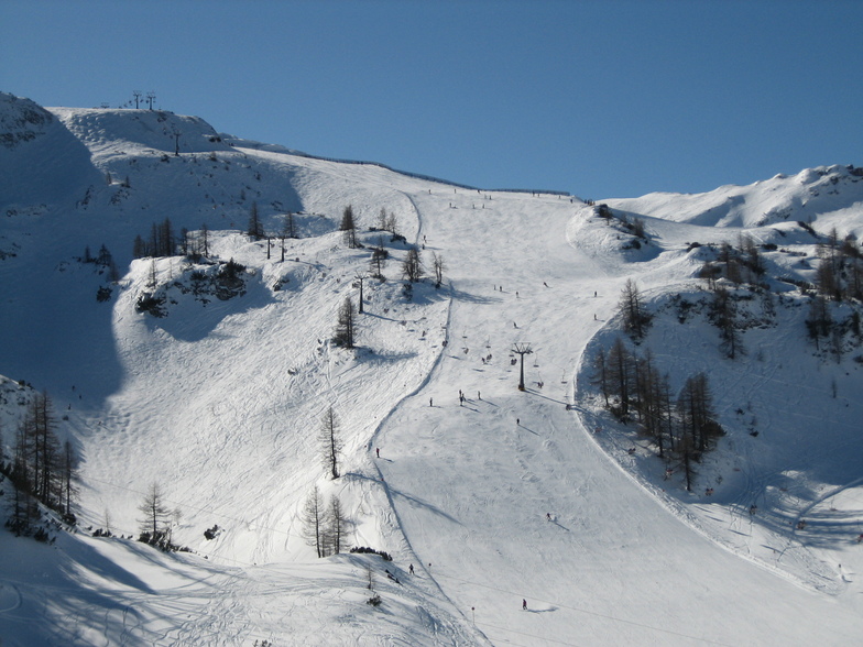
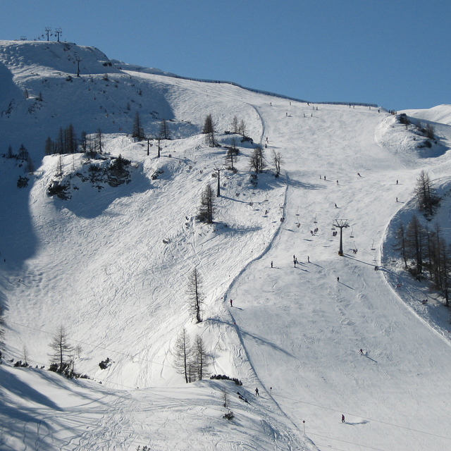
The Tauernkar black is a magnificent run, perfect pitch, wide open pistes and you can blast it as fast as you like. Opposite the World Cup downhill run which is a varied brute and superb as well.
Prior to today, my favourite skiing was Grand Montets, Chamonix. Whilst Tauernkar is shorter than Grand Montets, it is of the same calibre, and you leave feeling you have had the best run...
My Wife and I went there to celebrate 2021 on New Year's Day with no particular expectations.
We left the resort speechless. We have skied across the Alps and this place Is hands down our favourite.
The Tauernkar black is a magnificent run, perfect pitch, wide open pistes and you can blast it as fast as you like. Opposite the World Cup downhill run which is a varied brute and superb as well.
Prior to today, my favourite skiing was Grand Montets, Chamonix. Whilst Tauernkar is shorter than Grand Montets, it is of the same calibre, and you leave feeling you have had the best run...
Free Snow-Forecast.com weather widget for your website
Embed the Zauchensee weather widget on your site for free. It provides a weekly snapshot of snow and rain conditions across all elevations. Follow the two quick steps to grab your custom code and paste it into your site. Choose between metric or imperial units. Click here to get the code.


 Nearest