


Global Weekly Snow Roundup #320
Weekly Snow News for the world, updated 25 June 2026: Chile and New Zealand's seasons proper set to begin, Tignes and Sunshine reopen for summer skiing. weekend as Riksgransen ends its 2026 season.

Next 3 days weather summary:Moderate rain (total 17.0mm), heaviest on Sun afternoon. Warm (max 23°C on Mon afternoon, min 18°C on Sat morning). Wind will be generally light. | Days 4-6 weather summary:Light rain (total 9.0mm), mostly falling on Thu night. Warm (max 31°C on Thu afternoon, min 20°C on Tue morning). Wind will be generally light. | |||||||||||||||||
Saturday 27 | Sunday 28 | Monday 29 | Tuesday 30 | Wednesday 1 | Thursday 2 | |||||||||||||
AM | PM | night | AM | PM | night | AM | PM | night | AM | PM | night | AM | PM | night | AM | PM | night | |
light rain | t-storm risk | rain shwrs | some clouds | t-storm risk | rain shwrs | clear | rain shwrs | clear | clear | some clouds | rain shwrs | clear | clear | rain shwrs | clear | clear | rain shwrs | |
km/h | ||||||||||||||||||
Snow map |  |  |  |  |  |  | ||||||||||||
— | — | — | — | — | — | — | — | — | — | — | — | — | — | — | — | — | — | |
mm | 1 | 3 | 4 | — | 5 | 3 | — | 1 | — | — | — | 2 | — | — | 1 | — | — | 6 |
max °C | 18 | 18 | 19 | 20 | 22 | 21 | 20 | 23 | 22 | 22 | 26 | 25 | 25 | 29 | 27 | 27 | 31 | 24 |
min °C | 18 | 18 | 18 | 18 | 21 | 18 | 19 | 23 | 19 | 20 | 25 | 21 | 23 | 27 | 24 | 24 | 29 | 23 |
chill °C | 18 | 18 | 18 | 18 | 21 | 18 | 19 | 23 | 19 | 20 | 25 | 21 | 23 | 27 | 24 | 24 | 29 | 23 |
Humid % | 84 | 90 | 87 | 79 | 75 | 90 | 85 | 68 | 91 | 77 | 58 | 76 | 58 | 46 | 63 | 55 | 38 | 57 |
Freeze m | 4300 | 4450 | 4450 | 4600 | 4550 | 4650 | 4800 | 4900 | 4900 | 4900 | 5050 | 5100 | 5050 | 5100 | 5150 | 5000 | 4950 | 5100 |
5:54 | — | — | 5:54 | — | — | 5:54 | — | — | 5:56 | — | — | 5:56 | — | — | 5:56 | — | — | |
— | — | 8:40 | — | — | 8:40 | — | — | 8:40 | — | — | 8:40 | — | — | 8:40 | — | — | 8:40 | |
Go pro and carve into:
Avalanche information: National Avalanche Center
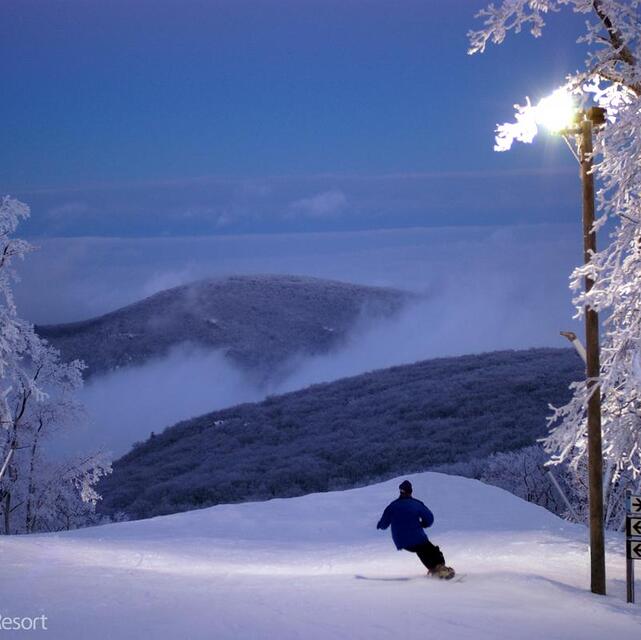
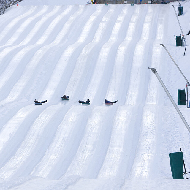
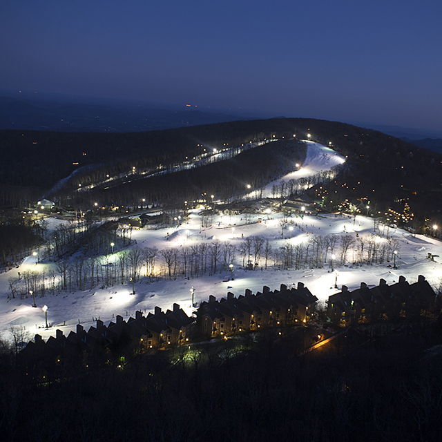
Latest snow reports near Wintergreen Resort:
| Top snow depth: | — |
|---|---|
| Bottom snow depth: | — |
| Fresh snowfall depth: | — |
| Last snowfall: | 16 Mar 2026 |
| Snow Alerts | Create Alert |
0.0 | Bluebird Powder days Fresh snow, mostly sunny, light wind. |
|---|---|
0.0 | Powder days Fresh snow, limited sun, any wind. |
0.0 | Bluebird days Average snow, mostly sunny, light wind. |
The above table gives the weather forecast for Wintergreen Resort at the specific elevation of 1071 m. Our sophisticated weather models allow us to provide snow forecasts for the top, middle and bottom ski stations of Wintergreen Resort. To access the weather forecasts for the other elevations, use the tab navigation above the table. For a wider view of the weather, check out the Weather Map of United States.
Click here to read further information on freezing levels and how we forecast our temperatures.
Overall 2.6 Based on 4 votes and 4 reviews
It just is not that good. Lifts go at a snail pace, and the longest snow stays after falling is a week. It all just melts. Almost no off-piste snow unless it is fresh and a lot of it (doesn't happen a lot..). Staff are rude, lift lines are a mile long, and it's just not fun! One star!
Barrack Obama from United States writes:
It just is not that good. Lifts go at a snail pace, and the longest snow stays after falling is a week. It all just melts. Almost no off-piste snow unless it is fresh and a lot of it (doesn't happen a lot..). Staff are rude, lift lines are a mile long, and it's just not fun! One star!
Read 3 more reviews of Wintergreen Resort or submit your own


 Nearest