The above table gives the weather forecast for Winter Park at the specific elevation of 3674 m. Our sophisticated weather models allow us to provide snow forecasts for the top, middle and bottom ski stations of Winter Park. To access the weather forecasts for the other elevations, use the tab navigation above the table. For a wider view of the weather, check out the Weather Map of United States.
Click here to read further information on freezing levels and how we forecast our temperatures.
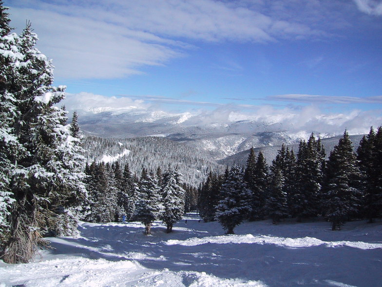
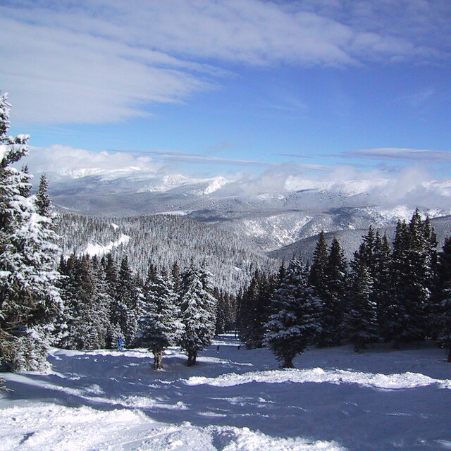
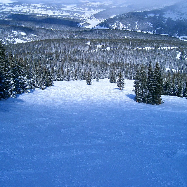
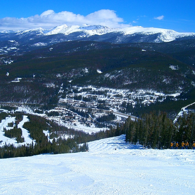
I went to Winter Park in March, 2014. Loved. I had 17 hours of snowboarding classes that should be group, but it was only myself and the teacher. I passed from beginner level to intermediate. I went by myself and on the day before the last I broke my arm. The doctors and all the crew were so kind and helped me with everything. I had insurance, so I did not have to spend any more money. And they gave me back 142 dollars for I could not use the resort for a day. Locals are really friendly and I made some friends over there. It is sooooo beautiful. But, the pistes are more ski like than snowboarding. And the snow..! Powder most of the days! Good amount of snow fall! Loved. Recommend.
I went to Winter Park in March, 2014. Loved. I had 17 hours of snowboarding classes that should be group, but it was only myself and the teacher. I passed from beginner level to intermediate. I went by myself and on the day before the last I broke my arm. The doctors and all the crew were so kind and helped me with everything. I had insurance, so I did not have to spend any more money. And they gave me back 142 dollars for I could not use the resort for a day. Locals are really friendly and I made some friends over there. It is sooooo beautiful. But, the pistes are more ski like than snowboarding. And the snow..! Powder most of the days! Good amount of snow fall! Loved. Recommend.
Free Snow-Forecast.com weather widget for your website
Embed the Winter Park weather widget on your site for free. It provides a weekly snapshot of snow and rain conditions across all elevations. Follow the two quick steps to grab your custom code and paste it into your site. Choose between metric or imperial units. Click here to get the code.


 Nearest