Issued by Snow-Forecast.com at:7 am (local time) / 30 Jun 2026
Last 6 daysScroll left for last 6 daysNow
Next 3 days weather summary:
Heavy rain (total 34.0mm), heaviest during Wed afternoon. Very mild (max 18°C on Tue afternoon, min 6°C on Wed afternoon). Wind will be generally light.
Days 4-6 weather summary:
Light rain (total 8.0mm), mostly falling on Sun night. Very mild (max 15°C on Sat afternoon, min 8°C on Sun night). Wind will be generally light.
The above table gives the weather forecast for Westendorf (SkiWelt) at the specific elevation of 1957 m. Our sophisticated weather models allow us to provide snow forecasts for the top, middle and bottom ski stations of Westendorf (SkiWelt). To access the weather forecasts for the other elevations, use the tab navigation above the table. For a wider view of the weather, check out the Weather Map of Austria.
Click here to read further information on freezing levels and how we forecast our temperatures.
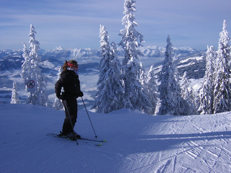
Have discovered I've written a review already, but have missed off that Feratel, the streaming camera company, have cameras all over the area. The Westendorf cameras view two of the main skiing starting points and give a very good indication of snow conditions. There's a camera on Choralpe and on Talkaser.
Be wary that the snow across the valley can look very poor, even though Westendorf has snow. Westendorf keeps its snow far longer, as the far valley side is sun-facing.
Also, if you fly to Innsbruck, have a look for direct trains from Innsbruck. 15 min bus transfer from the airport to the main station and straight to Westendorf in about an hour. If there's 5 of you, or so, consider a taxi. Upside? 45mins quicker, elapsed.
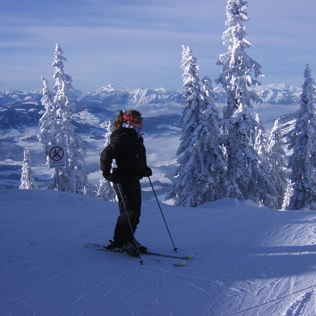
Free Snow-Forecast.com weather widget for your website
Embed the Westendorf (SkiWelt) weather widget on your site for free. It provides a weekly snapshot of snow and rain conditions across all elevations. Follow the two quick steps to grab your custom code and paste it into your site. Choose between metric or imperial units. Click here to get the code.


 Nearest