
Europe Weekly Snow Roundup #321
Weekly Snow News for Europe, updated 2 July 2026: Fresh snowfall has been reported on high terrain in the Alps after the very warm end to June. Les 2 Alps ends its 7 months plus season this week.

Next 3 days weather summary:Light rain (total 9.0mm), mostly falling on Tue night. Very mild (max 18°C on Sun afternoon, min 6°C on Sun night). Wind will be generally light. | Days 4-6 weather summary:Heavy rain (total 21.0mm), heaviest during Thu afternoon. Very mild (max 14°C on Fri afternoon, min 6°C on Fri night). Wind will be generally light. | |||||||||||||||||
Sunday 2 | Monday 3 | Tuesday 4 | Wednesday 5 | Thursday 6 | Friday 7 | |||||||||||||
AM | PM | night | AM | PM | night | AM | PM | night | AM | PM | night | AM | PM | night | AM | PM | night | |
some clouds | cloudy | clear | clear | cloudy | some clouds | cloudy | light rain | mod. rain | light rain | light rain | cloudy | light rain | mod. rain | light rain | light rain | light rain | cloudy | |
km/h | ||||||||||||||||||
Snow map | 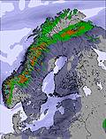 |  | 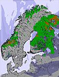 | 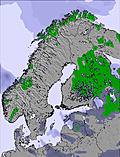 | 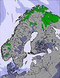 | 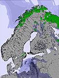 | ||||||||||||
— | — | — | — | — | — | — | — | — | — | — | — | — | — | — | — | — | — | |
mm | — | — | — | — | — | — | — | 2 | 7 | 3 | 1 | — | 3 | 8 | 3 | 1 | 2 | — |
max °C | 14 | 18 | 16 | 15 | 18 | 16 | 16 | 17 | 11 | 12 | 12 | 12 | 11 | 11 | 11 | 12 | 14 | 12 |
min °C | 11 | 18 | 6 | 11 | 17 | 8 | 12 | 12 | 11 | 11 | 12 | 10 | 10 | 10 | 11 | 11 | 14 | 6 |
chill °C | 10 | 18 | 5 | 11 | 17 | 8 | 12 | 11 | 11 | 11 | 12 | 10 | 10 | 10 | 11 | 11 | 13 | 4 |
Humid % | 57 | 35 | 66 | 56 | 36 | 62 | 58 | 92 | 95 | 91 | 86 | 82 | 95 | 97 | 99 | 91 | 77 | 70 |
Freeze m | 2100 | 2350 | 2200 | 2100 | 2350 | 2400 | 2550 | 2550 | 2950 | 2750 | 2750 | 2800 | 2800 | 2900 | 2600 | 2350 | 2500 | 2200 |
4:43 | — | — | 4:45 | — | — | 4:48 | — | — | 4:50 | — | — | 4:52 | — | — | 4:54 | — | — | |
— | — | 9:49 | — | — | 9:45 | — | — | 9:43 | — | — | 9:39 | — | — | 9:37 | — | — | 9:35 | |
Go pro and carve into:
Avalanche information: Varsom.no Avalanche Warnings
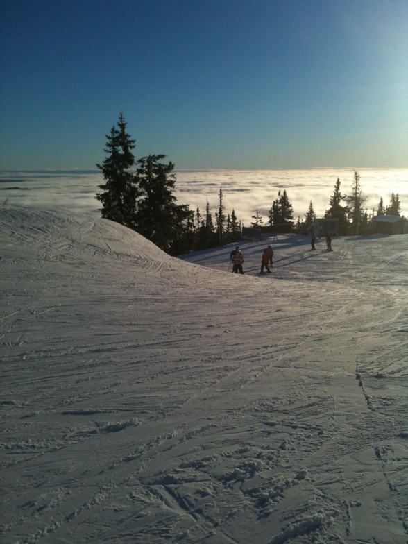
Latest snow reports near Trysil:
| Top snow depth: | 0 cm |
|---|---|
| Bottom snow depth: | 0 cm |
| Fresh snowfall depth: | — |
| Last snowfall: | 16 May 2026 |
| Snow Alerts | Create Alert |
0.0 | Bluebird Powder days Fresh snow, mostly sunny, light wind. |
|---|---|
0.0 | Powder days Fresh snow, limited sun, any wind. |
0.0 | Bluebird days Average snow, mostly sunny, light wind. |
The above table gives the weather forecast for Trysil at the specific elevation of 415 m. Our sophisticated weather models allow us to provide snow forecasts for the top, middle and bottom ski stations of Trysil. To access the weather forecasts for the other elevations, use the tab navigation above the table. For a wider view of the weather, check out the Weather Map of Norway.
Click here to read further information on freezing levels and how we forecast our temperatures.
Overall 3.5 Based on 22 votes and 6 reviews
Visited Trysil during Feb half-term holiday 2012. Snow was good and perfect for teaching my 10 year old son on his second ski trip. If you are looking for meg miles and mega slopes - not Trysil - but for the rest of us, the runs are reasonably long and with the good snow great fun. Have a BIG breakfast and make up some sandwiches, take a bottle of water and have lunch in the warming huts around the slope - stay away from the beer, it will bankrupt you!
Andrew Keeley from United Kingdom writes:
Visited Trysil during Feb half-term holiday 2012. Snow was good and perfect for teaching my 10 year old son on his second ski trip. If you are looking for meg miles and mega slopes - not Trysil - but for the rest of us, the runs are reasonably long and with the good snow great fun.
Have a BIG breakfast and make up some sandwiches, take a bottle of water and have lunch in the warming huts around the slope - stay away from the beer, it will bankrupt you!


 Nearest