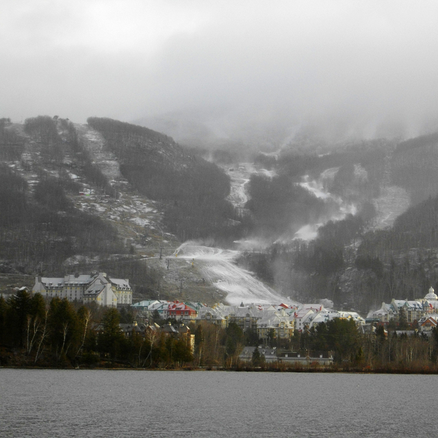
The above table gives the weather forecast for Mont Tremblant at the specific elevation of 230 m. Our sophisticated weather models allow us to provide snow forecasts for the top, middle and bottom ski stations of Mont Tremblant. To access the weather forecasts for the other elevations, use the tab navigation above the table. For a wider view of the weather, check out the Weather Map of Canada.
Click here to read further information on freezing levels and how we forecast our temperatures.
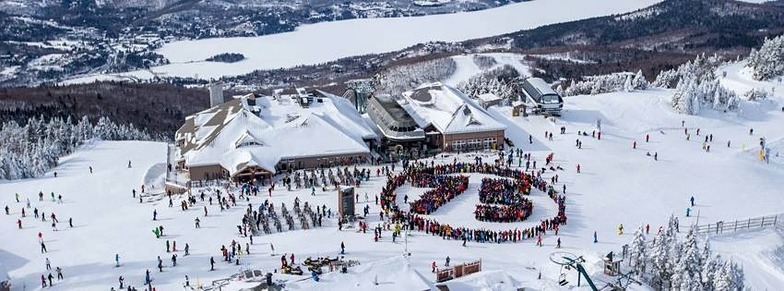
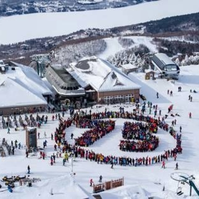
Skied Mont Tremblant in 2008 and 2018 and it hasn’t changed too much. The town still has character and the skiing is diverse and good quality though not as extensive as you see in the “extended” resorts in Europe. As mentioned by others it is often windy and cold, which although that is what winter sports are all about, the out-dated chair system lets the resort down. It’s a poor comparison with many European resorts due to old, slow open chairs (no covers) and few cable cars/gondola and no heated seats. May sound trivial but when the wind is blowing at <15degreesC it takes the edge of the experience but more annoying is you pay the same for the lift pass as in Europe so why no investment; someone just banking the profits. That said, the skiing is good with a good range of challenging blacks, fast reds and some fun off-piste (wooded/trees). It gets crowded at weekends but really just at the lifts (again symptom of too small and slow) so beware. The number of restaurants on the mountain isn’t great and again they are busy but the food is good.
The town offers some good apres-ski and a lot of varied restaurants and bars and you can get a decent pint rather than just lager. Long way to come from the UK and not sure it beats the resorts on offer across Europe.
Free Snow-Forecast.com weather widget for your website
Embed the Mont Tremblant weather widget on your site for free. It provides a weekly snapshot of snow and rain conditions across all elevations. Follow the two quick steps to grab your custom code and paste it into your site. Choose between metric or imperial units. Click here to get the code.


 Nearest