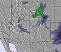
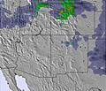
The above table gives the weather forecast for The Canyons at the specific elevation of 3045 m. Our sophisticated weather models allow us to provide snow forecasts for the top, middle and bottom ski stations of The Canyons. To access the weather forecasts for the other elevations, use the tab navigation above the table. For a wider view of the weather, check out the Weather Map of United States.
Click here to read further information on freezing levels and how we forecast our temperatures.
WOW....What an amazing resort.
I snowboard all round the world, including Europe, Canada and Australia.
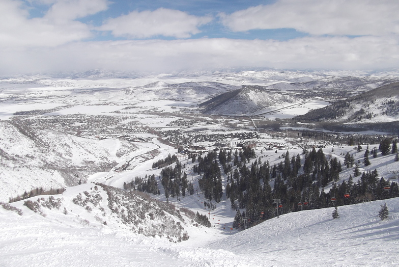
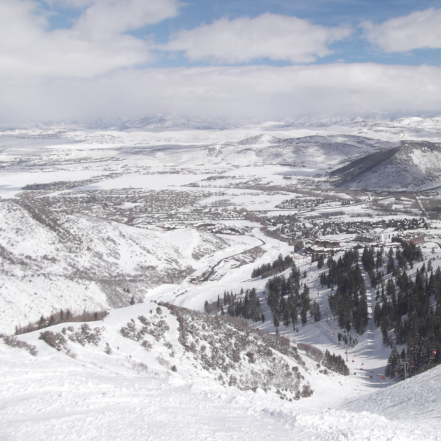
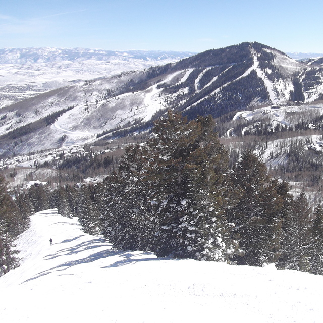
The Canyons has so much to offer now with it's massive improvements last season. The relocation of the village gondola makes morning loading a breeze. Also, the only resort I know that has a bubble chair with heated seats! They have also opened up a new section of mountain called 'Iron Mountain' so it now boasts an amazing 4000 acres of fun! This resort just keeps getting better. Definitely the most professional ski school I've come across. Their staff come across so passionate for what they do and seem so proud of where they work.
If you enjoy the snow, then you simply have to visit the Canyons!
WOW....What an amazing resort.
I snowboard all round the world, including Europe, Canada and Australia.
The Canyons has so much to offer now with it's massive improvements last season. The relocation of the village gondola makes morning loading a breeze. Also, the only resort I know that has a bubble chair with heated seats! They have also opened up a new section of mountain called 'Iron Mountain' so it now boasts an amazing 4000 acres of fun! This resort just keeps getting better. Definitely the most professional ski school I've come across. Their staff come across so passionate for what they do and seem so proud of where they work.
If you enjoy the snow, then you simply have to visit the Canyons!
Free Snow-Forecast.com weather widget for your website
Embed the The Canyons weather widget on your site for free. It provides a weekly snapshot of snow and rain conditions across all elevations. Follow the two quick steps to grab your custom code and paste it into your site. Choose between metric or imperial units. Click here to get the code.


 Nearest