Issued by Snow-Forecast.com at:1 pm (local time) / 30 Jun 2026
Last 6 daysScroll left for last 6 daysNow
Next 3 days weather summary:
Mild with moderate rain (total 13.0mm) on Wed afternoon, Becoming colder with a light covering of snow, mostly falling on Wed afternoon. Freeze-thaw conditions (max 8°C on Tue afternoon, min -1°C on Wed afternoon). Wind will be generally light.
Days 4-6 weather summary:
Light rain (total 2.0mm), mostly falling on Fri night. Mild temperatures (max 6°C on Sat afternoon, min 2°C on Sat morning). Wind will be generally light.
The above table gives the weather forecast for Stubai Glacier at the specific elevation of 3201 m. Our sophisticated weather models allow us to provide snow forecasts for the top, middle and bottom ski stations of Stubai Glacier. To access the weather forecasts for the other elevations, use the tab navigation above the table. For a wider view of the weather, check out the Weather Map of Austria.
Click here to read further information on freezing levels and how we forecast our temperatures.
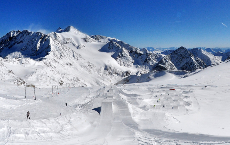
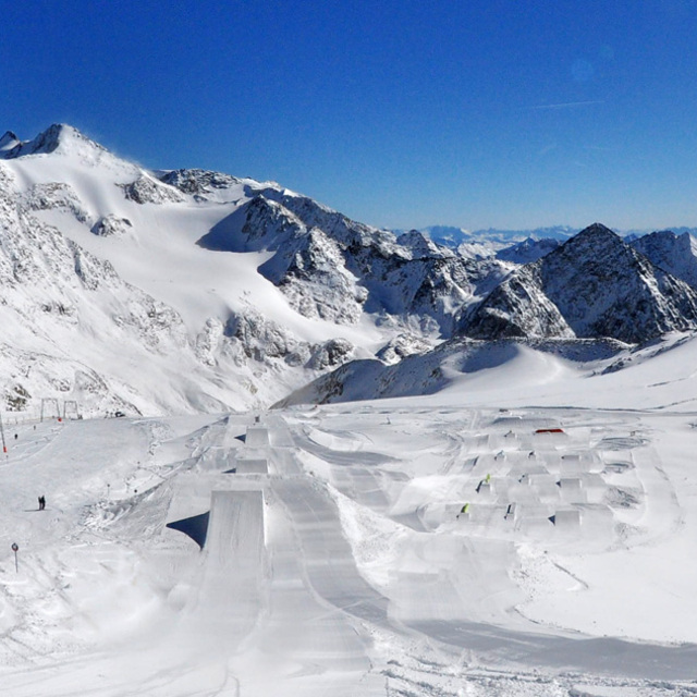
I've skied Stubai on 3 sperate days in the past 12 months and have to say the place is epic! It's so much more than a glacier with 110 km of marked pistes, many of which are non glacial. The snow is always great from the Dresdener Hut upwards and Ski Route (Itinerary)14 to the bottom is magnificent.
For hard core skiers the off-piste is virtually unlimited, with further challenges for ski-touring and couloir thrill seekers. There are crevasses but in the core season these are no issue, however, off-piste is a no-no in the summer months.
For beginners the area around Gamsgarten is perfect with dry snow guaranteed throughout the winter and well into April.
Great choice of restaurants on the mountain with the Dresdener Hut being great value.
Apres-ski at Gamsgarten is incredible, especially when they open the roof and everybody starts dancing on the tables, before de-camping down to the Mutterberger Alm at the bottom for more of the same! Classic Austrian party time.
Mutterberger Alm is also a great 4 star hotel and very reasonably priced for ski in-ski out lovers.
Free Snow-Forecast.com weather widget for your website
Embed the Stubai Glacier weather widget on your site for free. It provides a weekly snapshot of snow and rain conditions across all elevations. Follow the two quick steps to grab your custom code and paste it into your site. Choose between metric or imperial units. Click here to get the code.


 Nearest