

North America Weekly Snow Roundup #321
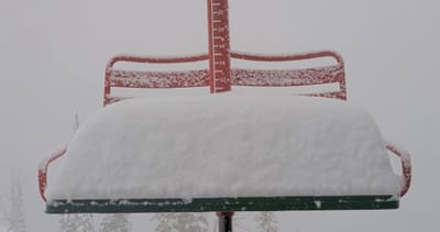
Weekly Snow News for North America, updated 2 July 2026: Beartooth Basin summer ski area ends 2026 season with fresh snow falling and Banff's Sunshine celebrates Canada Day on the slopes.

Next 3 days weather summary:Mostly dry. Very mild (max 16°C on Thu afternoon, min 10°C on Fri night). Mainly strong winds. | Days 4-6 weather summary:Moderate rain (total 11.0mm), heaviest on Sun night. Very mild (max 19°C on Tue afternoon, min 11°C on Sun night). Mainly fresh winds. | |||||||||||||||||
Thursday 2 | Friday 3 | Saturday 4 | Sunday 5 | Monday 6 | Tuesday 7 | |||||||||||||
AM | PM | night | AM | PM | night | AM | PM | night | AM | PM | night | AM | PM | night | AM | PM | night | |
cloudy | some clouds | clear | clear | clear | clear | clear | clear | clear | cloudy | cloudy | mod. rain | light rain | light rain | rain shwrs | clear | cloudy | cloudy | |
km/h | ||||||||||||||||||
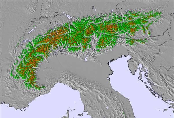
Snow map |  |  |  |  |  |  | ||||||||||||
— | — | — | — | — | — | — | — | — | — | — | — | — | — | — | — | — | — | |
mm | — | — | — | — | — | — | — | — | — | — | — | 7 | 1 | 1 | 2 | — | — | — |
max °C | 13 | 16 | 15 | 15 | 15 | 13 | 12 | 15 | 14 | 13 | 17 | 16 | 12 | 15 | 14 | 16 | 19 | 19 |
min °C | 11 | 16 | 14 | 14 | 15 | 10 | 10 | 15 | 12 | 12 | 16 | 11 | 12 | 14 | 13 | 15 | 19 | 16 |
chill °C | 8 | 15 | 12 | 12 | 13 | 6 | 7 | 13 | 9 | 10 | 15 | 10 | 10 | 13 | 12 | 14 | 19 | 14 |
Humid % | 70 | 57 | 59 | 64 | 49 | 54 | 48 | 40 | 59 | 58 | 46 | 86 | 76 | 62 | 61 | 54 | 43 | 48 |
Freeze m | 3700 | 3650 | 3800 | 3500 | 3650 | 3650 | 3250 | 3300 | 3250 | 3250 | 3350 | 3250 | 3400 | 3250 | 3350 | 3450 | 3700 | 3600 |
5:05 | — | — | 5:07 | — | — | 5:07 | — | — | 5:07 | — | — | 5:09 | — | — | 5:09 | — | — | |
— | — | 8:57 | — | — | 8:57 | — | — | 8:55 | — | — | 8:55 | — | — | 8:55 | — | — | 8:54 | |
Go pro and carve into:
Avalanche information: European Avalanche Warning Services (EAWS)
Latest snow reports near Sankt Radegund bei Graz/Schöckl:
| Top snow depth: | — |
|---|---|
| Bottom snow depth: | — |
| Fresh snowfall depth: | — |
| Last snowfall: | 12 May 2026 |
| Snow Alerts | Create Alert |
0.0 | Bluebird Powder days Fresh snow, mostly sunny, light wind. |
|---|---|
0.0 | Powder days Fresh snow, limited sun, any wind. |
0.0 | Bluebird days Average snow, mostly sunny, light wind. |
The above table gives the weather forecast for Sankt Radegund bei Graz/Schöckl at the specific elevation of 1445 m. Our sophisticated weather models allow us to provide snow forecasts for the top, middle and bottom ski stations of Sankt Radegund bei Graz/Schöckl. To access the weather forecasts for the other elevations, use the tab navigation above the table. For a wider view of the weather, check out the Weather Map of Austria.
Click here to read further information on freezing levels and how we forecast our temperatures.
Resort name is also written as St. Radegund-Schoeckel.


 Nearest