The above table gives the weather forecast for St Johann-Alpendorf at the specific elevation of 1342 m. Our sophisticated weather models allow us to provide snow forecasts for the top, middle and bottom ski stations of St Johann-Alpendorf. To access the weather forecasts for the other elevations, use the tab navigation above the table. For a wider view of the weather, check out the Weather Map of Austria.
Click here to read further information on freezing levels and how we forecast our temperatures.
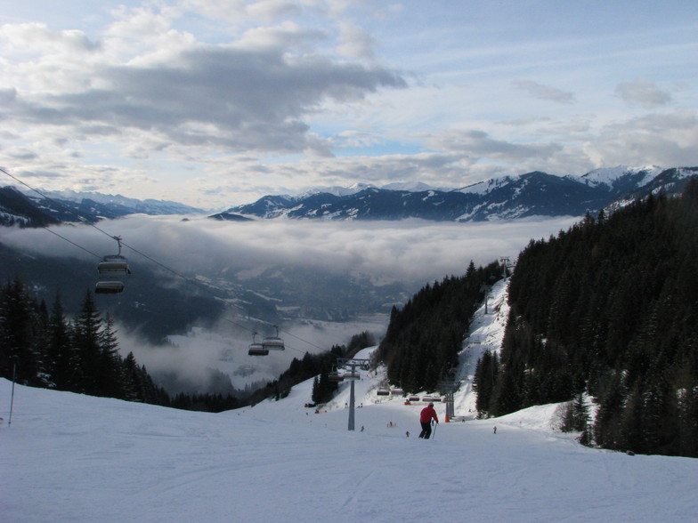
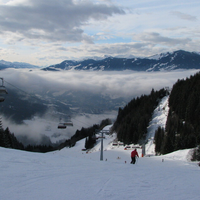
Here now at the peak week of the season. According to #WePowder, 5 million people headed to the Alps this week as the UK/Dutch and German half-term weeks created a perfect storm. Yes, it is crowded; avoid the bottom lifts between 08.45 and 09.45 and take a picnic as the restaurants are chaos, But the snow is the best in years; we've had two full on powder days and may even squeeze another in before the week is over. It is true that 80% of people go to 20% of the resorts, so we had a day in Grossarl (uncrowded) a day in Schladming (big enough to take the numbers) and will ski Hochkonig on "changeover" day, so it is possible to get some great runs in despite the crowds.
I can't comment on hotels but our 8 bed apartment in the Steakhouse Rauchkuchen at €750 per week is a bloody good deal. We're only 4 so plenty of room and usable kitchen.
Love Ski Amade and the Austrian Apres so much that we're buying in Flachau.
Off ski touring next week so may post an update.
Free Snow-Forecast.com weather widget for your website
Embed the St Johann-Alpendorf weather widget on your site for free. It provides a weekly snapshot of snow and rain conditions across all elevations. Follow the two quick steps to grab your custom code and paste it into your site. Choose between metric or imperial units. Click here to get the code.


 Nearest