The above table gives the weather forecast for Sölden at the specific elevation of 1370 m. Our sophisticated weather models allow us to provide snow forecasts for the top, middle and bottom ski stations of Sölden. To access the weather forecasts for the other elevations, use the tab navigation above the table. For a wider view of the weather, check out the Weather Map of Austria.
Click here to read further information on freezing levels and how we forecast our temperatures.
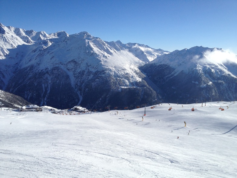
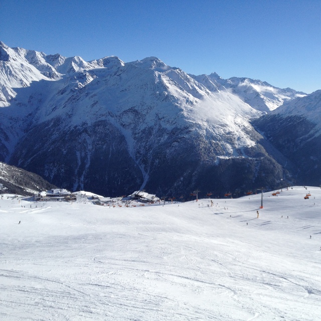
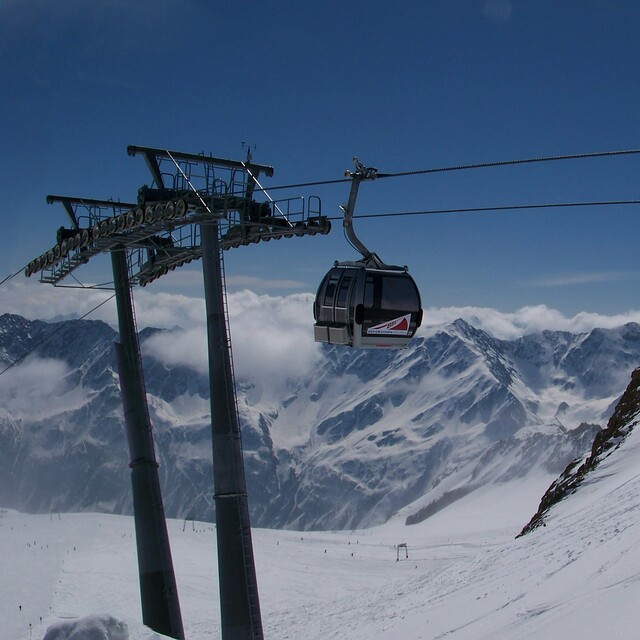
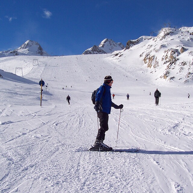
Brilliant resort for intermediates. Easy short transfer, great variety of high quality hotels and accommodation. Good variety of high up snow sure skiing. Ski all the way from the top of the glacier to the village in most conditions from December to March. Efficient bus service to Obergurgl /Hochgurgul included in the pass. Plenty of variety of mountain food and not a rip off like France or Switzerland. Apres has everything you need from rocking bars to cosy stubles and nice hotel bars. Not a pretty village but never bothered me.
Brilliant resort for intermediates. Easy short transfer, great variety of high quality hotels and accommodation. Good variety of high up snow sure skiing. Ski all the way from the top of the glacier to the village in most conditions from December to March. Efficient bus service to Obergurgl /Hochgurgul included in the pass. Plenty of variety of mountain food and not a rip off like France or Switzerland. Apres has everything you need from rocking bars to cosy stubles and nice hotel bars. Not a pretty village but never bothered me.
Free Snow-Forecast.com weather widget for your website
Embed the Sölden weather widget on your site for free. It provides a weekly snapshot of snow and rain conditions across all elevations. Follow the two quick steps to grab your custom code and paste it into your site. Choose between metric or imperial units. Click here to get the code.


 Nearest