


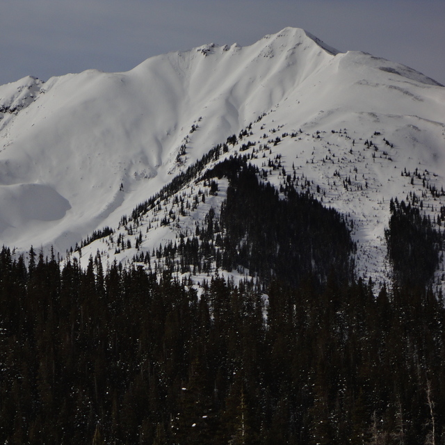
Portillo Storm Snowfall Total Passes 5m / 17 Feet
A snow storm that has now continued for nine days has taken Chilean ski resort Portillo to a snowfall total of 5.2 metres (17 feet) so far, with more snow forecast.

Next 3 days weather summary:Mostly dry. Very mild (max 17°C on Sat afternoon, min 10°C on Thu morning). Wind will be generally light. | Days 4-6 weather summary:Some drizzle, heaviest during Tue afternoon. Very mild (max 18°C on Sun afternoon, min 9°C on Tue night). Wind will be generally light. | |||||||||||||||||
Thursday 30 | Friday 31 | Saturday 1 | Sunday 2 | Monday 3 | Tuesday 4 | |||||||||||||
AM | PM | night | AM | PM | night | AM | PM | night | AM | PM | night | AM | PM | night | AM | PM | night | |
clear | some clouds | clear | clear | some clouds | clear | clear | clear | clear | clear | clear | clear | some clouds | some clouds | some clouds | some clouds | rain shwrs | some clouds | |
km/h | ||||||||||||||||||
Snow map | 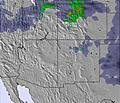 |  |  |  |  |  | ||||||||||||
— | — | — | — | — | — | — | — | — | — | — | — | — | — | — | — | — | — | |
mm | — | — | — | — | — | — | — | — | — | — | — | — | — | — | — | — | 1 | — |
max °C | 12 | 14 | 12 | 14 | 15 | 13 | 14 | 17 | 15 | 16 | 18 | 15 | 17 | 17 | 14 | 15 | 16 | 13 |
min °C | 10 | 14 | 10 | 12 | 14 | 10 | 12 | 16 | 11 | 13 | 18 | 13 | 15 | 17 | 11 | 13 | 12 | 9 |
chill °C | 8 | 12 | 10 | 12 | 13 | 10 | 11 | 15 | 11 | 13 | 18 | 13 | 15 | 16 | 11 | 12 | 11 | 8 |
Humid % | 58 | 25 | 36 | 33 | 21 | 32 | 26 | 14 | 26 | 28 | 13 | 16 | 19 | 27 | 23 | 29 | 29 | 39 |
Freeze m | 5350 | 5650 | 5300 | 5350 | 5600 | 5300 | 5400 | 5700 | 5650 | 5650 | 5900 | 5650 | 5650 | 5700 | 5500 | 5450 | 5650 | 5200 |
6:05 | — | — | 6:05 | — | — | 6:07 | — | — | 6:07 | — | — | 6:09 | — | — | 6:09 | — | — | |
— | 8:21 | — | — | 8:20 | — | — | 8:19 | — | — | 8:17 | — | — | 8:16 | — | — | 8:15 | — | |
Go pro and carve into:
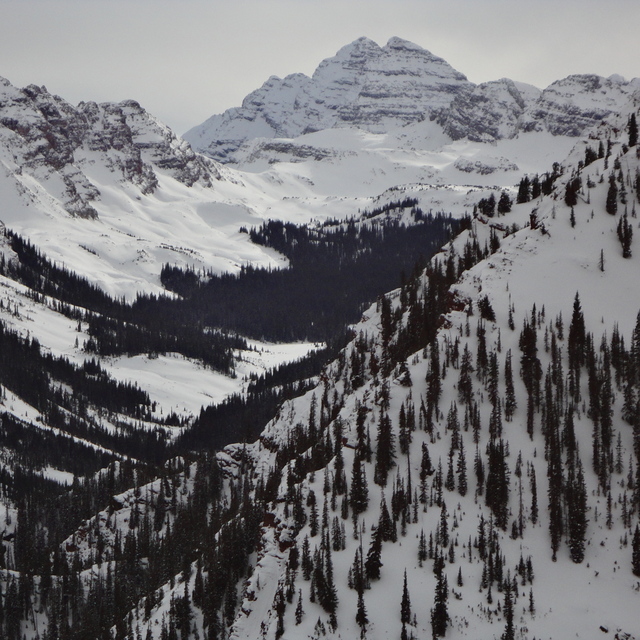
Avalanche information: Colorado Avalanche Information Center
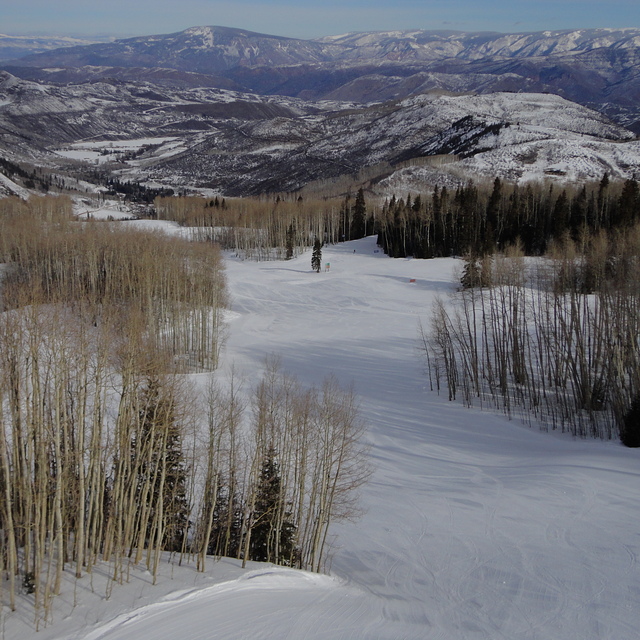
Latest snow reports near Snowmass:
| Top snow depth: | 0 cm |
|---|---|
| Bottom snow depth: | 0 cm |
| Fresh snowfall depth: | — |
| Last snowfall: | 18 May 2026 |
| Snow Alerts | Create Alert |
0.0 | Bluebird Powder days Fresh snow, mostly sunny, light wind. |
|---|---|
0.0 | Powder days Fresh snow, limited sun, any wind. |
0.0 | Bluebird days Average snow, mostly sunny, light wind. |
The above table gives the weather forecast for Snowmass at the specific elevation of 3812 m. Our sophisticated weather models allow us to provide snow forecasts for the top, middle and bottom ski stations of Snowmass. To access the weather forecasts for the other elevations, use the tab navigation above the table. For a wider view of the weather, check out the Weather Map of United States.
Click here to read further information on freezing levels and how we forecast our temperatures.
Overall 4.1 Based on 15 votes and 2 reviews
Cruiser's paradise. Cruising doesn't get any better than the Big Burn and Alpine Springs areas. I'm looking forward to going back and checking out more advanced terrain. Huge vertical.
Chris from United States writes:
Cruiser's paradise. Cruising doesn't get any better than the Big Burn and Alpine Springs areas. I'm looking forward to going back and checking out more advanced terrain. Huge vertical.


 Nearest