

Portillo Storm Snowfall Total Passes 5m / 17 Feet
A snow storm that has now continued for nine days has taken Chilean ski resort Portillo to a snowfall total of 5.2 metres (17 feet) so far, with more snow forecast.

Next 3 days weather summary:Some drizzle, heaviest during Wed morning. Very mild (max 18°C on Fri afternoon, min 12°C on Wed morning). Wind will be generally light. | Days 4-6 weather summary:Mostly dry. Warm (max 20°C on Sat afternoon, min 15°C on Mon night). Winds increasing (calm on Sat night, fresh winds from the SW by Sun night). | |||||||||||||||||
Wednesday 29 | Thursday 30 | Friday 31 | Saturday 1 | Sunday 2 | Monday 3 | |||||||||||||
AM | PM | night | AM | PM | night | AM | PM | night | AM | PM | night | AM | PM | night | AM | PM | night | |
light rain | some clouds | clear | clear | clear | clear | clear | clear | clear | clear | clear | clear | clear | clear | clear | some clouds | clear | clear | |
km/h | ||||||||||||||||||
Snow map | 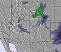 | 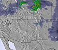 | 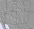 |  |  |  | ||||||||||||
— | — | — | — | — | — | — | — | — | — | — | — | — | — | — | — | — | — | |
mm | 1 | — | — | — | — | — | — | — | — | — | — | — | — | — | — | — | — | — |
max °C | 13 | 13 | 13 | 14 | 16 | 16 | 17 | 18 | 17 | 18 | 20 | 19 | 19 | 20 | 20 | 17 | 19 | 19 |
min °C | 12 | 12 | 13 | 13 | 16 | 16 | 16 | 18 | 17 | 17 | 19 | 19 | 18 | 20 | 17 | 17 | 19 | 15 |
chill °C | 11 | 10 | 12 | 12 | 15 | 15 | 15 | 18 | 16 | 17 | 19 | 19 | 18 | 20 | 16 | 17 | 18 | 14 |
Humid % | 53 | 48 | 46 | 35 | 27 | 21 | 20 | 13 | 14 | 15 | 11 | 11 | 12 | 12 | 12 | 17 | 17 | 19 |
Freeze m | 5200 | 5200 | 5200 | 5050 | 5300 | 5400 | 5350 | 5600 | 5600 | 5750 | 5900 | 5900 | 5700 | 5800 | 5750 | 5450 | 5700 | 5550 |
6:20 | — | — | 6:20 | — | — | 6:22 | — | — | 6:22 | — | — | 6:24 | — | — | 6:24 | — | — | |
— | 8:45 | — | — | 8:44 | — | — | 8:43 | — | — | 8:42 | — | — | 8:40 | — | — | 8:38 | — | |
Go pro and carve into:
Avalanche information: National Avalanche Center
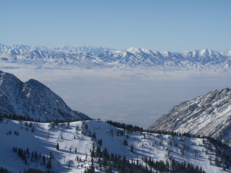
Latest snow reports near Snowbird:
| Top snow depth: | 0 cm |
|---|---|
| Bottom snow depth: | 0 cm |
| Fresh snowfall depth: | — |
| Last snowfall: | 28 Jun 2026 |
| Snow Alerts | Create Alert |
0.0 | Bluebird Powder days Fresh snow, mostly sunny, light wind. |
|---|---|
0.0 | Powder days Fresh snow, limited sun, any wind. |
0.0 | Bluebird days Average snow, mostly sunny, light wind. |


The above table gives the weather forecast for Snowbird at the specific elevation of 3352 m. Our sophisticated weather models allow us to provide snow forecasts for the top, middle and bottom ski stations of Snowbird. To access the weather forecasts for the other elevations, use the tab navigation above the table. For a wider view of the weather, check out the Weather Map of United States.
Click here to read further information on freezing levels and how we forecast our temperatures.
Overall 4.0 Based on 16 votes and 8 reviews
Snowbird offers an impressive terrain with 988 m of vertical drop, 85 trails across 1,011 hectares, and a solid infrastructure with 13 lifts. Because its snow conditions are closely tracked — including average snow-days in December of ~3.4 snow days/week. For users of the Snow Day Predictor tool, Snowbird is a strong test case: its well-monitored snow history and predictable seasonal patterns mean that forecasting models (like yours) can be calibrated effectively. The detailed data (snow depth, recent accumulation, live weather conditions) available for Snowbird helps refine and validate the predictor’s algorithms. In short: Snowbird is not just a world-class resort — it also provides the reliable snow-weather data context that makes your Snow Day Predictor more accurate and meaningful to users planning for a snow day.
Alex from U.S. Virgin Islands writes:
Snowbird offers an impressive terrain with 988 m of vertical drop, 85 trails across 1,011 hectares, and a solid infrastructure with 13 lifts. Because its snow conditions are closely tracked — including average snow-days in December of ~3.4 snow days/week.
For users of the Snow Day Predictor tool, Snowbird is a strong test case: its well-monitored snow history and predictable seasonal patterns mean that forecasting models (like yours) can be calibrated effectively. The detailed data (snow depth, recent accumulation, live weather conditions) available for Snowbird helps refine and validate the predictor’s algorithms.
In short: Snowbird is not just a world-class resort — it also provides the reliable snow-weather data context that makes your Snow Day Predictor more accurate and meaningful to users planning for a snow day.


 Nearest