A heavy fall of snow, heaviest during Sat night. Temperatures will be below freezing (max -2°C on Thu afternoon, min -6°C on Fri night). Winds decreasing (fresh winds from the SSE on Thu afternoon, calm by Fri morning).
Days 4-6 weather summary:
A dusting of new snow. Temperatures will be below freezing (max -2°C on Tue afternoon, min -5°C on Sun night). Winds decreasing (fresh winds from the WSW on Sun afternoon, light winds from the SSE by Tue night).
Light rain reported from Smithers Airport at 710 metres elevation only 3 kms NNE of Hudson Bay Mountain but it is forecast cold enough for snow at higher elevations in the ski area from Hudson Bay Mountain
23 hours ago
Light rain reported from Smithers Airport at 710 metres elevation only 3 kms NNE of Hudson Bay Mountain but it is forecast cold enough for snow at the ski area from Hudson Bay Mountain
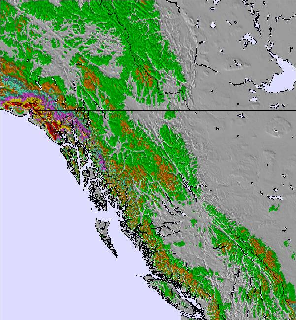
The above table gives the weather forecast for Hudson Bay Mountain at the specific elevation of 1676 m. Our sophisticated weather models allow us to provide snow forecasts for the top, middle and bottom ski stations of Hudson Bay Mountain. To access the weather forecasts for the other elevations, use the tab navigation above the table. For a wider view of the weather, check out the Weather Map of Canada.
Click here to read further information on freezing levels and how we forecast our temperatures.
The ski hill is fun and challenging up to intermediate; not a lot of tough stuff for experts looking for day long adventure. It qualifies as a fun local hill with lots of benefits for easy access, varied terrain and few lineups. When the powder is hitting the mountain all day and night before you ski, it's awesome! And within 30 minutes of home. But when it hasn't snowed for 2 weeks and just been cold and clear, then it gets to be groomer/skied out boredom. Can't have it all, otherwise there would be 5,000 people on the hill if it was that good. Normally, a few hundred people on the hill so no lineups. Sadly, even if there was a high speed quad, it's unlikely that enough people would support it. So we are stuck with what we got!! I enjoy it and really appreciate the effort that the staff put in to make it fun and exciting! I see a few of their names doing reviews here!
The ski hill is fun and challenging up to intermediate; not a lot of tough stuff for experts looking for day long adventure. It qualifies as a fun local hill with lots of benefits for easy access, varied terrain and few lineups. When the powder is hitting the mountain all day and night before you ski, it's awesome! And within 30 minutes of home. But when it hasn't snowed for 2 weeks and just been cold and clear, then it gets to be groomer/skied out boredom. Can't have it all, otherwise there would be 5,000 people on the hill if it was that good. Normally, a few hundred people on the hill so no lineups. Sadly, even if there was a high speed quad, it's unlikely that enough people would support it. So we are stuck with what we got!! I enjoy it and really appreciate the effort that the staff put in to make it fun and exciting! I see a few of their names doing reviews here!
Free Snow-Forecast.com weather widget for your website
Embed the Hudson Bay Mountain weather widget on your site for free. It provides a weekly snapshot of snow and rain conditions across all elevations. Follow the two quick steps to grab your custom code and paste it into your site. Choose between metric or imperial units. Click here to get the code.




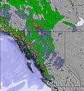
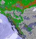
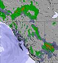
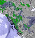


 Snow
 Hourly & 16-day forecasts



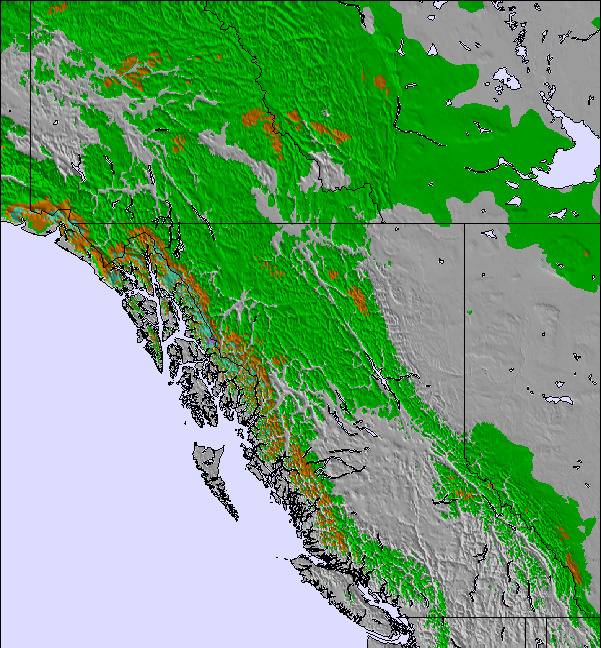
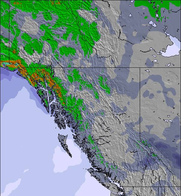
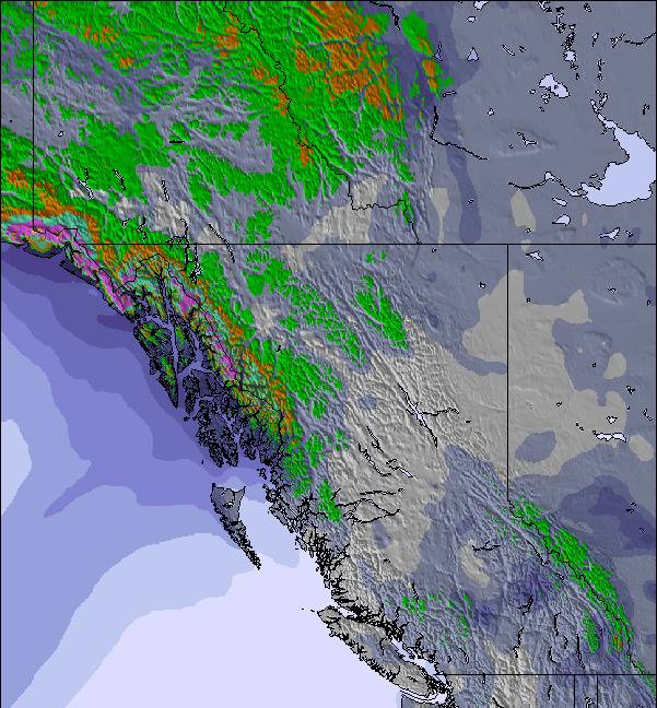
 Sign up or Login to access


 Upload new photo

 Nearest