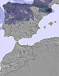
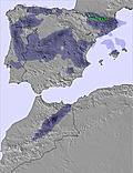
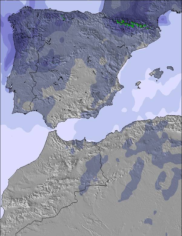
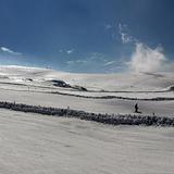
The above table gives the weather forecast for Sierra de Béjar - La Covatilla at the specific elevation of 1989 m. Our sophisticated weather models allow us to provide snow forecasts for the top, middle and bottom ski stations of Sierra de Béjar - La Covatilla. To access the weather forecasts for the other elevations, use the tab navigation above the table. For a wider view of the weather, check out the Weather Map of Spain.
Click here to read further information on freezing levels and how we forecast our temperatures.
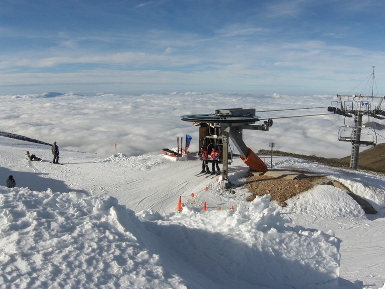
Resort name is also written as Sierra de Bejar - La Covatilla.
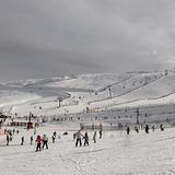
El diseño de la estación es bueno: más de 20km esquiables (si hay nieve) a los que se accede con un único telesilla que enlaza con una percha. El impacto medioambiental es bajo y el mantenimiento más barato. El problema es que el único telesilla, por el que tiene que pasar todo el mundo, es lentísimo (el más lento de Europa?) y de 4 asientos nada más. Consecuencia: las colas son interminables y apenas se esquía. Un telesilla de 6 atentos con embrague (van me rápidos y, a la vez, es más fácil subirse) se antoja esencial para convertir a la Covatilla en una buena estación (ahora es, directamente, mala). Pasar a diario la máquina acondicionadora de la nieve (la oruga) tampoco vendría mal.
El diseño de la estación es bueno: más de 20km esquiables (si hay nieve) a los que se accede con un único telesilla que enlaza con una percha. El impacto medioambiental es bajo y el mantenimiento más barato. El problema es que el único telesilla, por el que tiene que pasar todo el mundo, es lentísimo (el más lento de Europa?) y de 4 asientos nada más. Consecuencia: las colas son interminables y apenas se esquía. Un telesilla de 6 atentos con embrague (van me rápidos y, a la vez, es más fácil subirse) se antoja esencial para convertir a la Covatilla en una buena estación (ahora es, directamente, mala). Pasar a diario la máquina acondicionadora de la nieve (la oruga) tampoco vendría mal.
Free Snow-Forecast.com weather widget for your website
Embed the Sierra de Béjar - La Covatilla weather widget on your site for free. It provides a weekly snapshot of snow and rain conditions across all elevations. Follow the two quick steps to grab your custom code and paste it into your site. Choose between metric or imperial units. Click here to get the code.


 Nearest