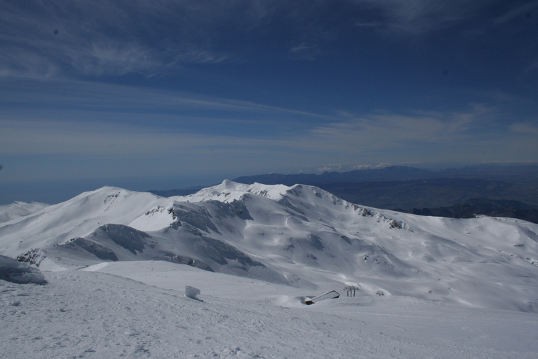


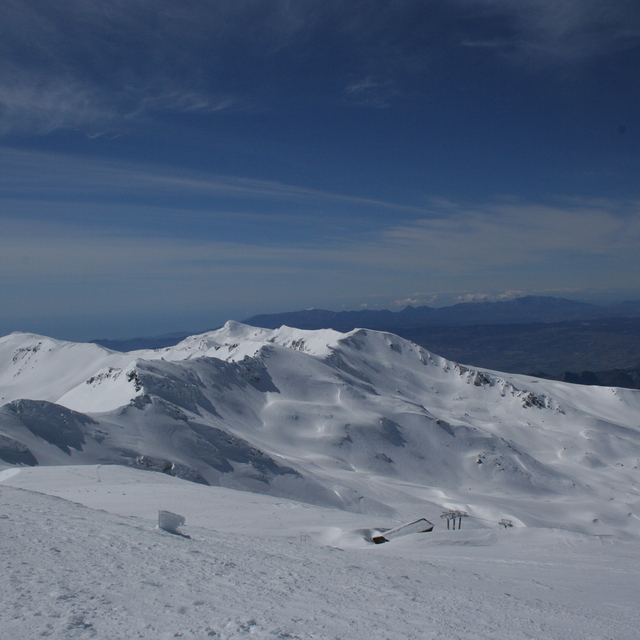
Banff Sunshine Village Opening for Summer Skiing
Banff Sunshine Village has confirmed it will reopen for a fortnight of summer skiing, from this weekend. The only ski area in Canada to be open into July.

Next 3 days weather summary:Some drizzle, heaviest during Mon night. Warm (max 23°C on Sat afternoon, min 17°C on Sat night). Wind will be generally light. | Days 4-6 weather summary:Mostly dry. Warm (max 25°C on Wed afternoon, min 14°C on Thu night). Wind will be generally light. | ||||||||||||||||
Sat 20 | Sunday 21 | Monday 22 | Tuesday 23 | Wednesday 24 | Thursday 25 | ||||||||||||
PM | night | AM | PM | night | AM | PM | night | AM | PM | night | AM | PM | night | AM | PM | night | |
clear | clear | clear | clear | clear | clear | some clouds | rain shwrs | clear | clear | some clouds | some clouds | some clouds | some clouds | clear | clear | clear | |
km/h | |||||||||||||||||
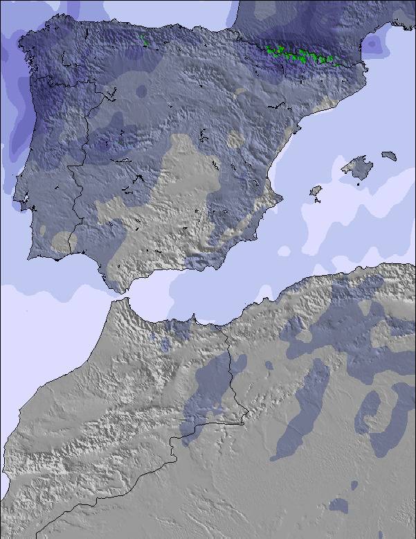
Snow map | 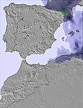 | 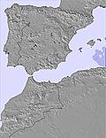 | 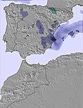 | 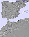 | 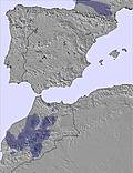 | 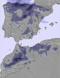 | |||||||||||
— | — | — | — | — | — | — | — | — | — | — | — | — | — | — | — | — | |
mm | — | — | — | — | — | — | — | 1 | — | — | — | — | — | — | — | — | — |
max °C | 23 | 22 | 21 | 23 | 22 | 21 | 23 | 20 | 22 | 24 | 23 | 22 | 25 | 22 | 20 | 22 | 21 |
min °C | 22 | 17 | 17 | 23 | 17 | 18 | 23 | 17 | 17 | 24 | 17 | 18 | 24 | 16 | 16 | 22 | 14 |
chill °C | 22 | 16 | 16 | 23 | 16 | 18 | 23 | 17 | 17 | 24 | 17 | 18 | 24 | 16 | 16 | 22 | 13 |
Humid % | 16 | 30 | 23 | 20 | 33 | 31 | 29 | 24 | 19 | 21 | 23 | 22 | 23 | 28 | 33 | 31 | 33 |
Freeze m | 4700 | 4800 | 4800 | 4750 | 4750 | 4850 | 4850 | 4800 | 4800 | 4850 | 4900 | 4850 | 4950 | 4800 | 4800 | 4850 | 4700 |
— | — | 6:52 | — | — | 6:52 | — | — | 6:54 | — | — | 6:54 | — | — | 6:54 | — | — | |
— | 9:36 | — | — | 9:36 | — | — | 9:36 | — | — | 9:36 | — | — | 9:37 | — | — | 9:37 | |
Go pro and carve into:
Avalanche information: European Avalanche Warning Services (EAWS)
Latest snow reports near Sierra Nevada:
| Top snow depth: | 0 cm |
|---|---|
| Bottom snow depth: | 0 cm |
| Fresh snowfall depth: | — |
| Last snowfall: | 17 May 2026 |
| Snow Alerts | Create Alert |
0.0 | Bluebird Powder days Fresh snow, mostly sunny, light wind. |
|---|---|
0.0 | Powder days Fresh snow, limited sun, any wind. |
0.0 | Bluebird days Average snow, mostly sunny, light wind. |
The above table gives the weather forecast for Sierra Nevada at the specific elevation of 2102 m. Our sophisticated weather models allow us to provide snow forecasts for the top, middle and bottom ski stations of Sierra Nevada. To access the weather forecasts for the other elevations, use the tab navigation above the table. For a wider view of the weather, check out the Weather Map of Spain.
Click here to read further information on freezing levels and how we forecast our temperatures.
Overall 4.0 Based on 133 votes and 92 reviews
Lo que he vivido en esta estación, no lo he visto nunca...Lunes 17 febrero, muchísima gente, pocas pistas abiertas. Pero lo que no es normal, los fallos de mantenimiento de tanto telesillas, como mantas (parones constantes, rearme continuamente sin éxito...). Si con solo decir que de 9.30 a 13h tiempo efectivo de desplazamiento no llegaría no a la media hora. Mucha espera. Manana ultimo dia y aqui no me ven mas. Mil veces mejor Formigal Vielha y Andorra. Forfait muy caro para el pésimo.servicio.
Sdltbmad from Spain writes:
Lo que he vivido en esta estación, no lo he visto nunca...Lunes 17 febrero, muchísima gente, pocas pistas abiertas. Pero lo que no es normal, los fallos de mantenimiento de tanto telesillas, como mantas (parones constantes, rearme continuamente sin éxito...). Si con solo decir que de 9.30 a 13h tiempo efectivo de desplazamiento no llegaría no a la media hora. Mucha espera. Manana ultimo dia y aqui no me ven mas. Mil veces mejor Formigal Vielha y Andorra. Forfait muy caro para el pésimo.servicio.


 Nearest